Pennine Way Trip 1
August 2017
Edale to Hebden Bridge
50 miles - 5 days - 4 camps - 12 kg
(Pics taken with mobile phone)
 |
| PW1 route map and gradient |
 |
| PW1 |
 |
| PW1 |
 |
| PW1 |
Day one: Edale station to Sandy Hayes on Kinderscout 7 miles.
Weather: quite sunny, mild, rain and some wind in the evening.
A day of excitement and anticipation, train travel, peat and moorland, rumbles in the sky.
Highs:
- Kinder plateau
- Kinder Downfall
- Red grouse and curlews calling
- Very quiet
- No thunder storms
- Slept quite well
Lows:
- Heavy backpack
- Didn't spot any hares
 |
| PW1 day 1 route map and gradient |
Diary day one:
Many hours of train travel took me to the village of Edale, the start of the Pennine Way (S to N). Before setting off on the trail I had a nosy in the visitor's centre and a quick look at the pub.
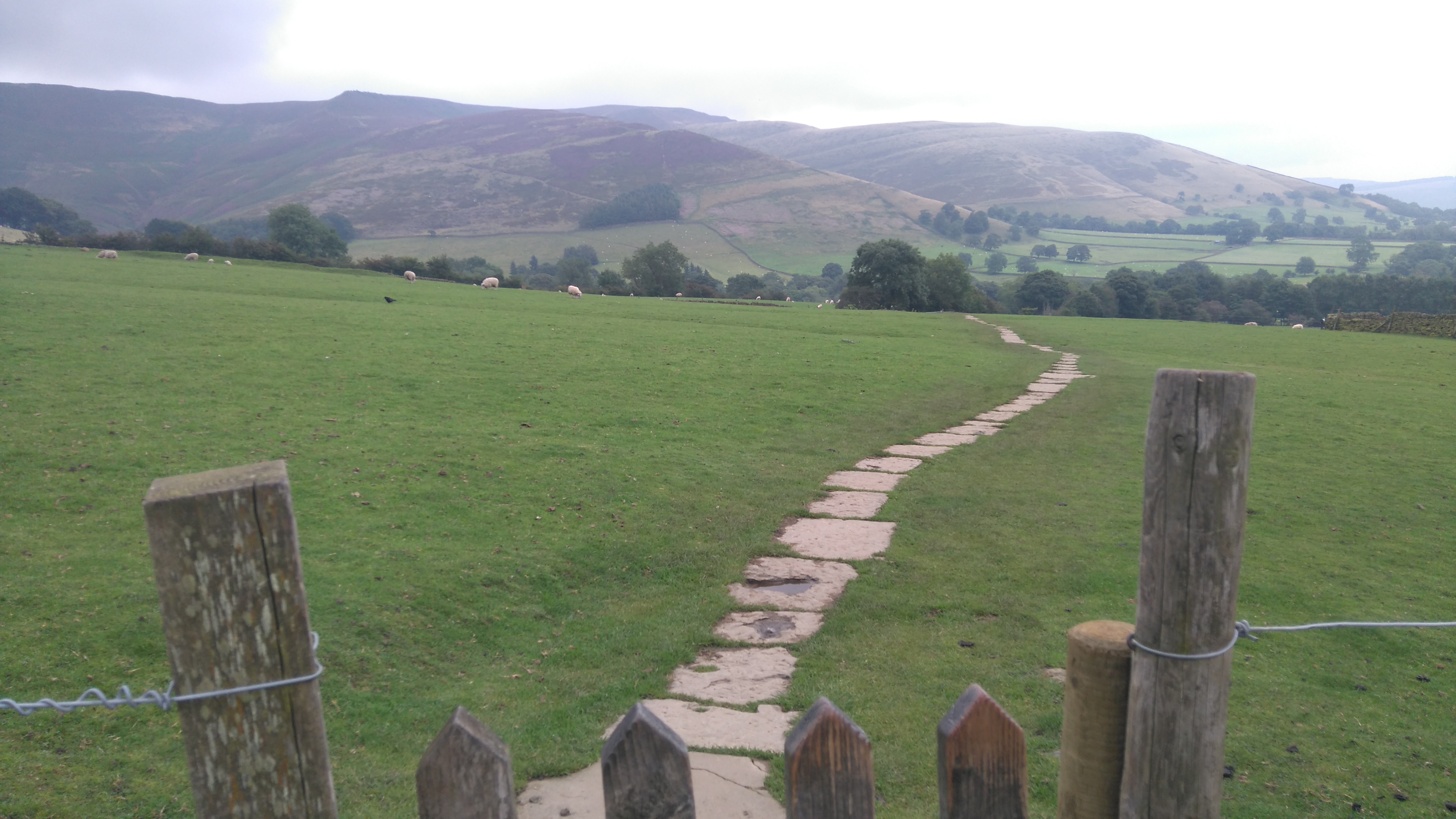
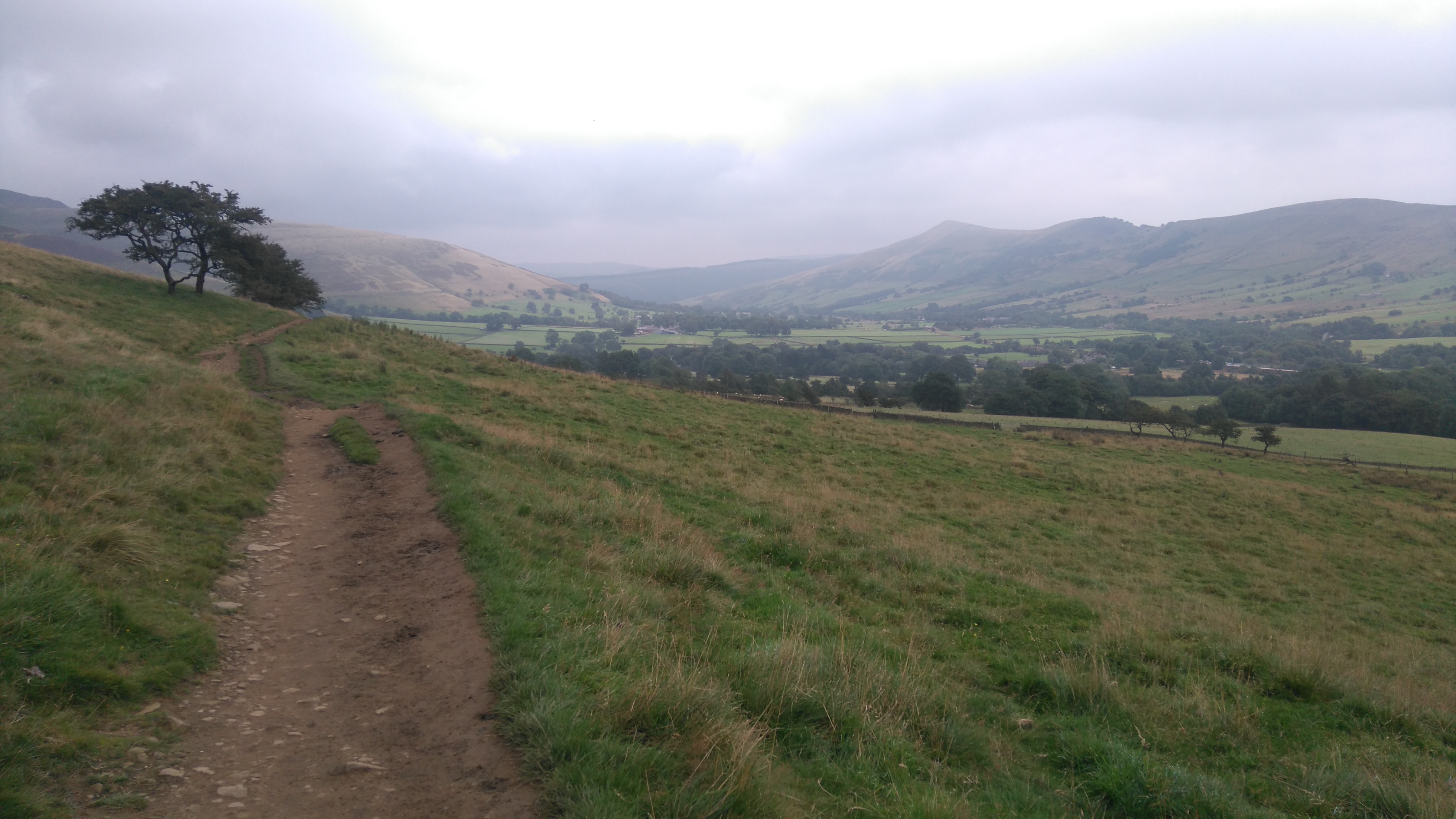
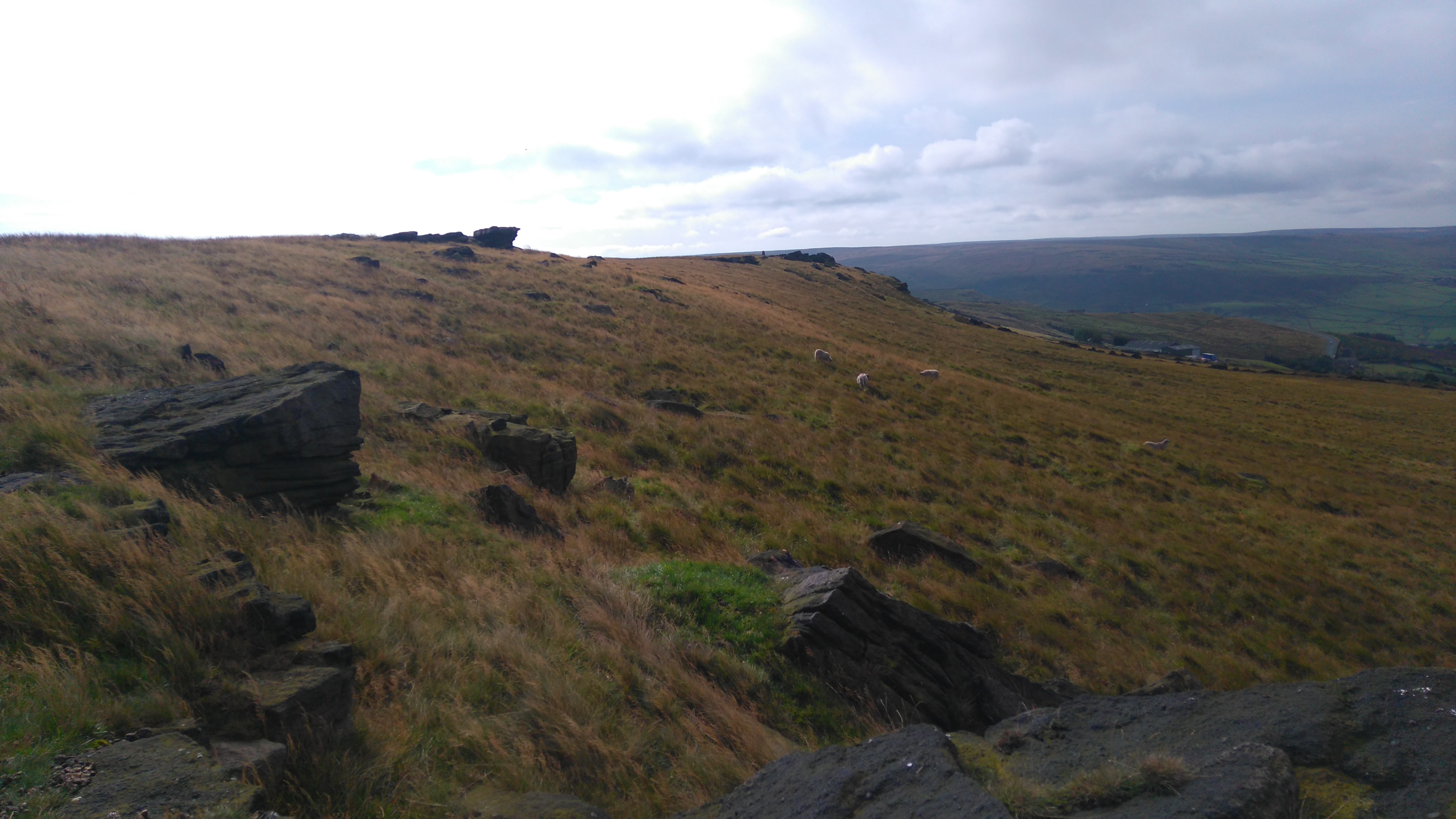
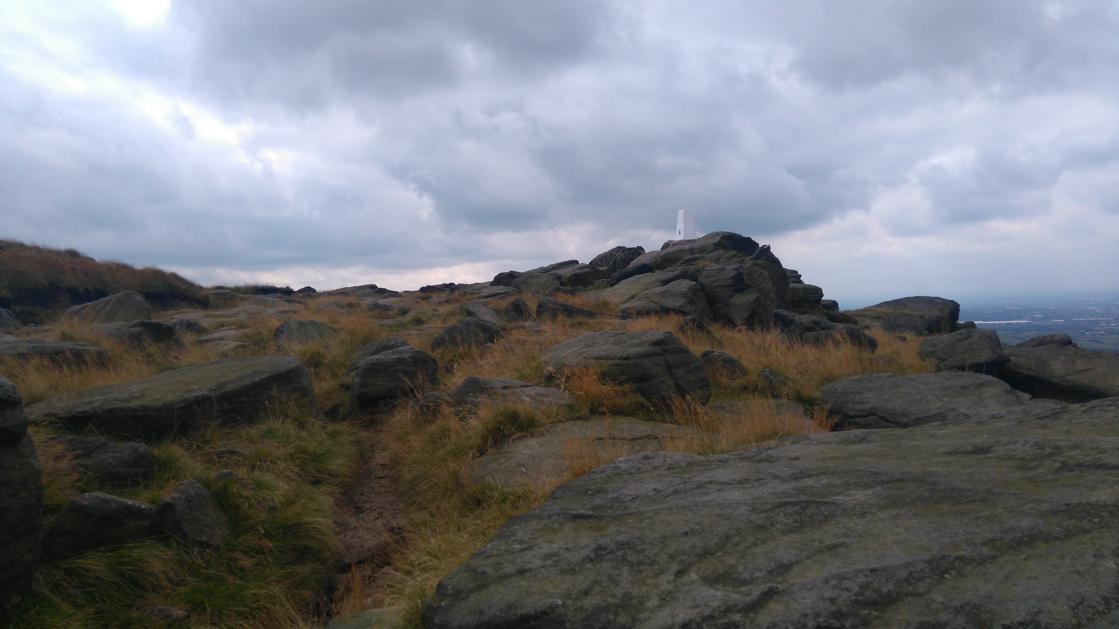
A pleasant walk across farmland brought me to the packhorse bridge at the foot of Jacob's Ladder. From there a steep path led up and up to the western edge of the Kinderscout Plateau.
Strange rock formations lined the path to the trig point. Further on I marvelled at the rocky amphitheatre of Kinder Low, and watched people clambering the big rocks.
On the north/western corner of the plateau I found a sheltered spot to pitch my tent, from where I could see the lights of Hayfield twinkling below.
Wind and rain arrived in the night, as well as the sound of distant thunder and airliners flying overhead.
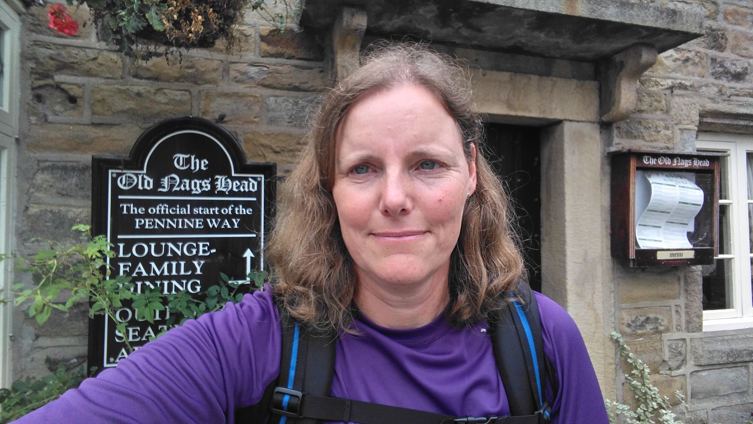 |
| Edale (the Nag's Head) |
 |
| Looking back towards Edale |
 |
| Looking back towards Edale. |
 |
| Kinderscout (the packhorse bridge) |
 |
| Kinderscout |
 |
| Kinderscout (on the summit plateau) |
 |
| Kinderscout |
 |
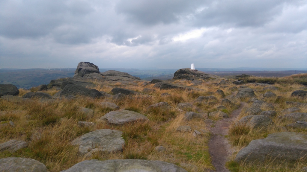
| Kinderscout (Kinder Downfall) |
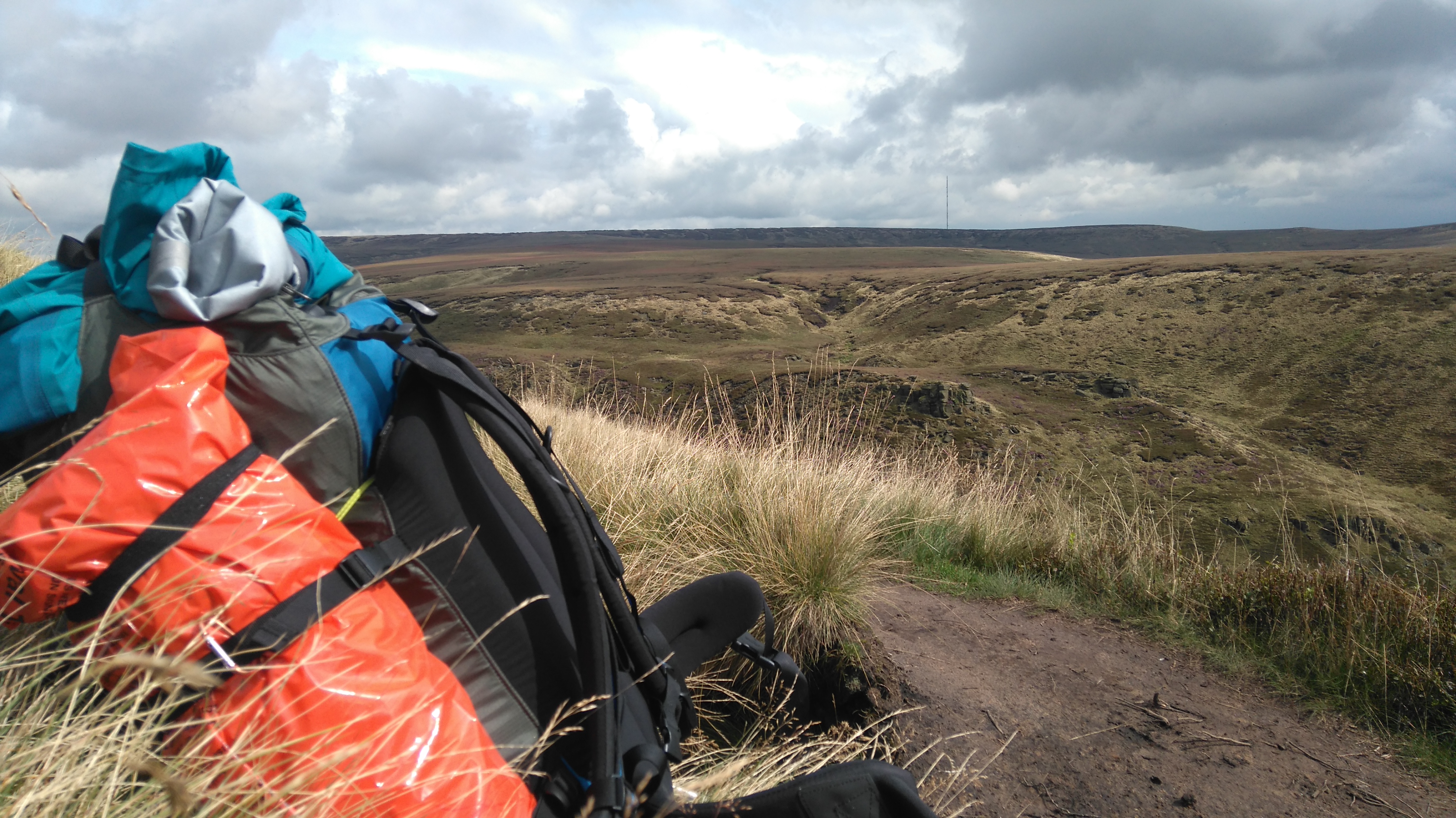
Day two: Sandy Hayes (Kinderscout) - Crowden 12 miles.
Weather: rain, fog, wind and thunder in the morning, sunny and mild in the afternoon, a light breeze on top.
A day of diverse weather, wonderful views and nice people.
Highs:
- Amazing views (eventually)
- Helpful hikers
- The sun coming out at midday
- Beautiful wild scenery
- Meeting nice people
- Facilities at campsite
Lows:
- Getting lost on Kinder Scout
- Batteries in GPS not working
- Not seeing the Wain Stones
- Aches and pains
 |
| PW1 day 2 |
Diary day two:
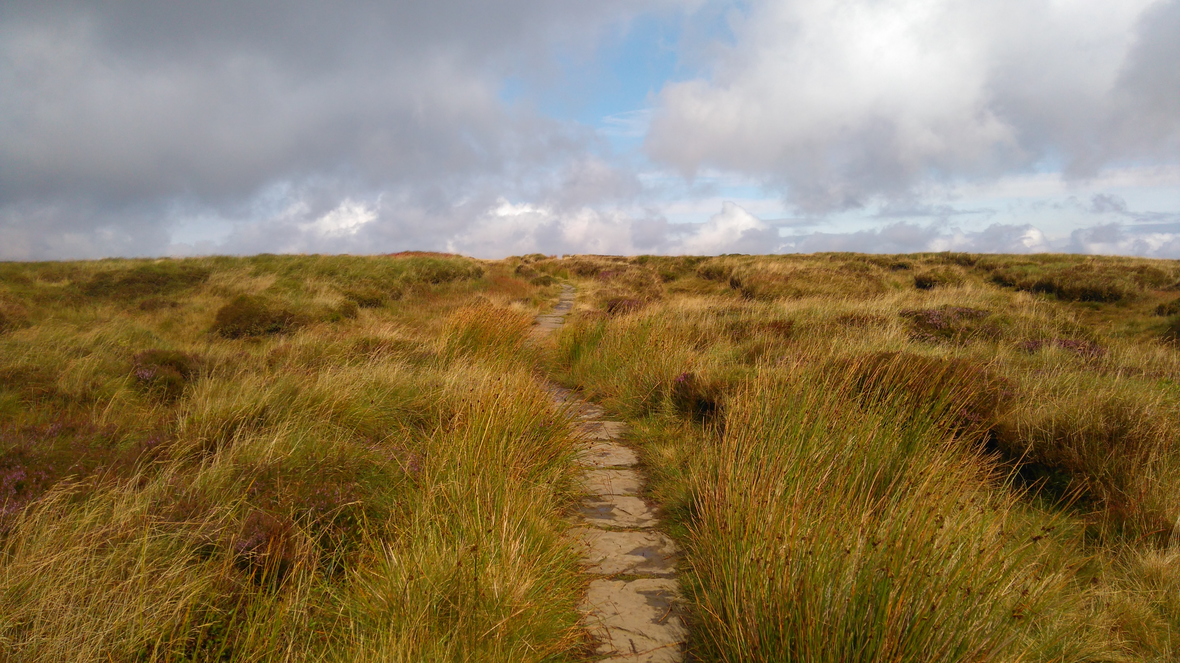
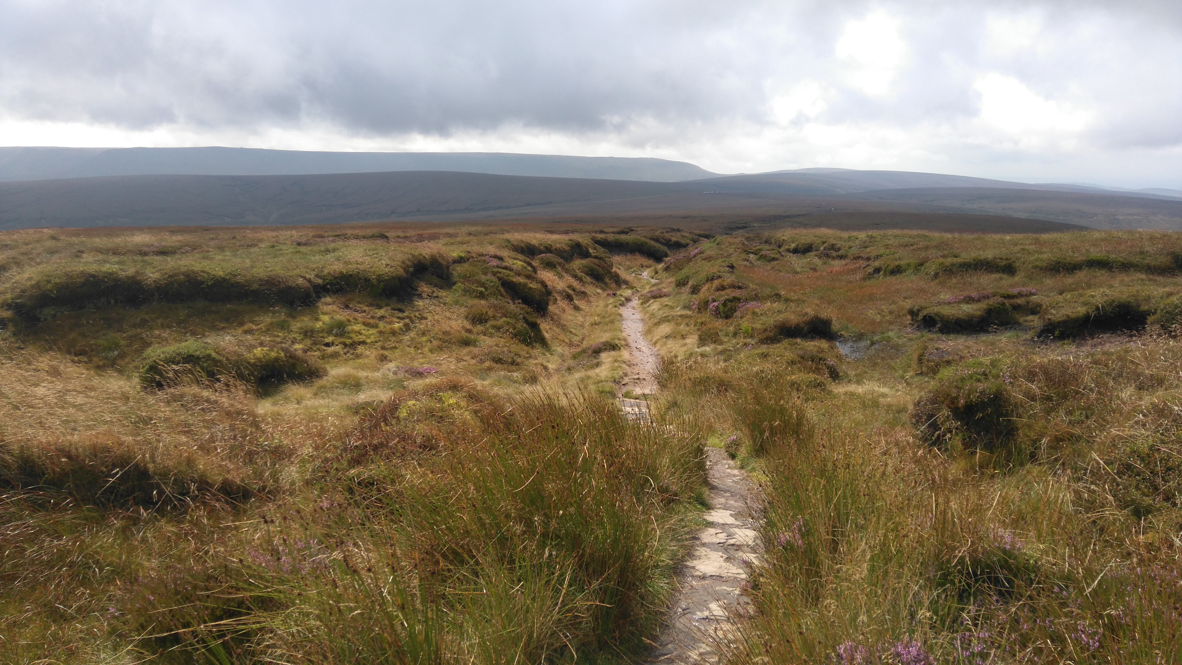
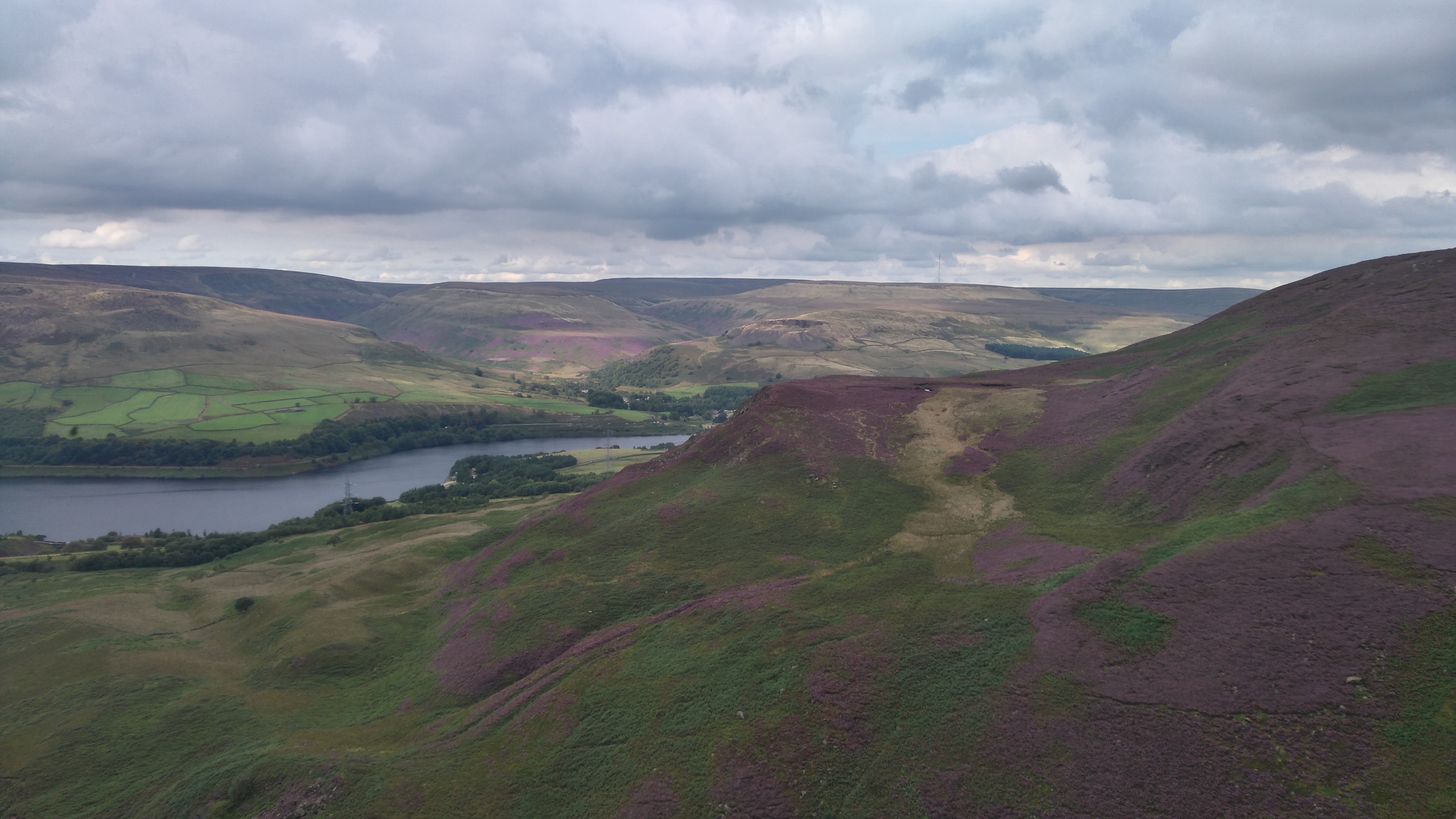
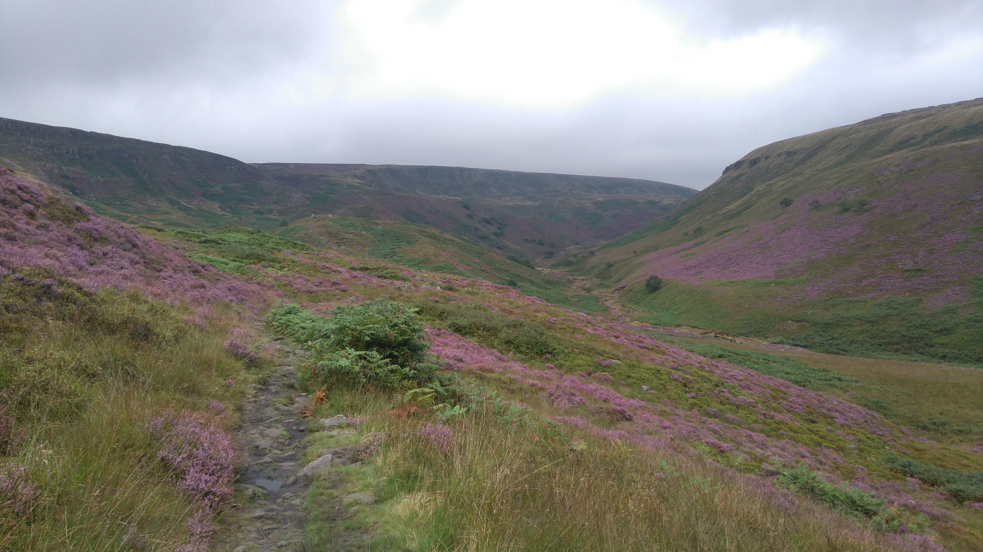
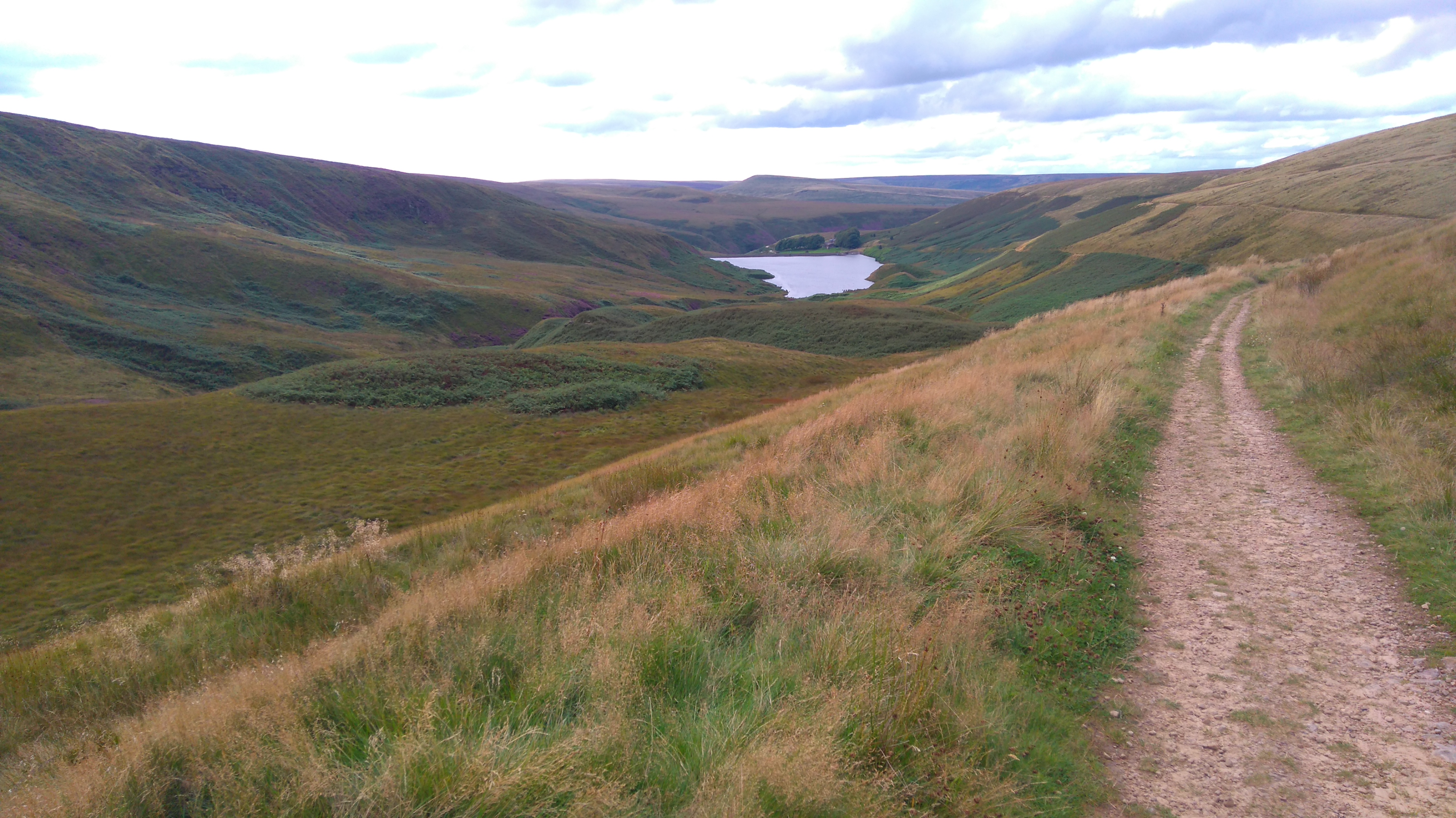
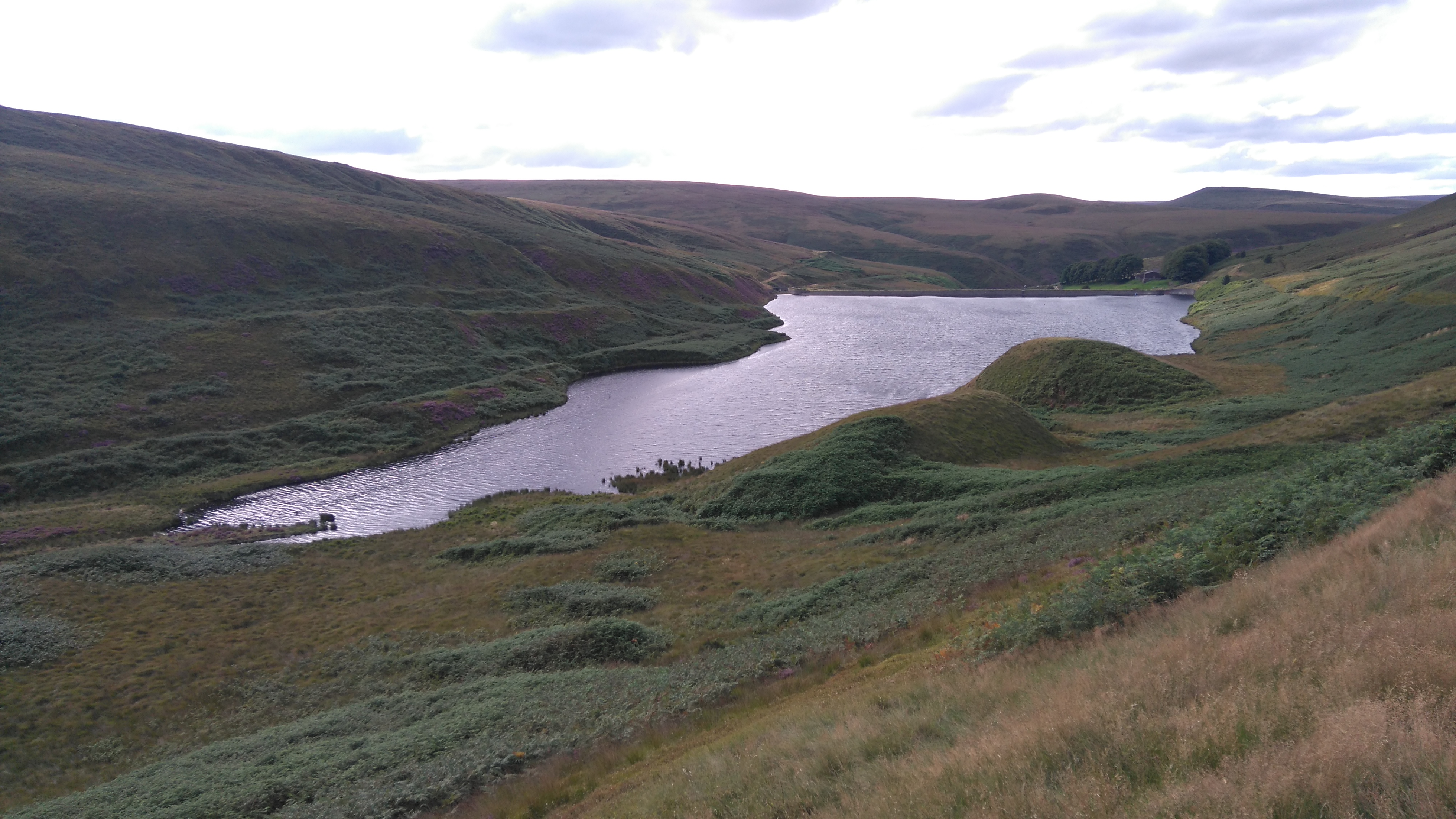
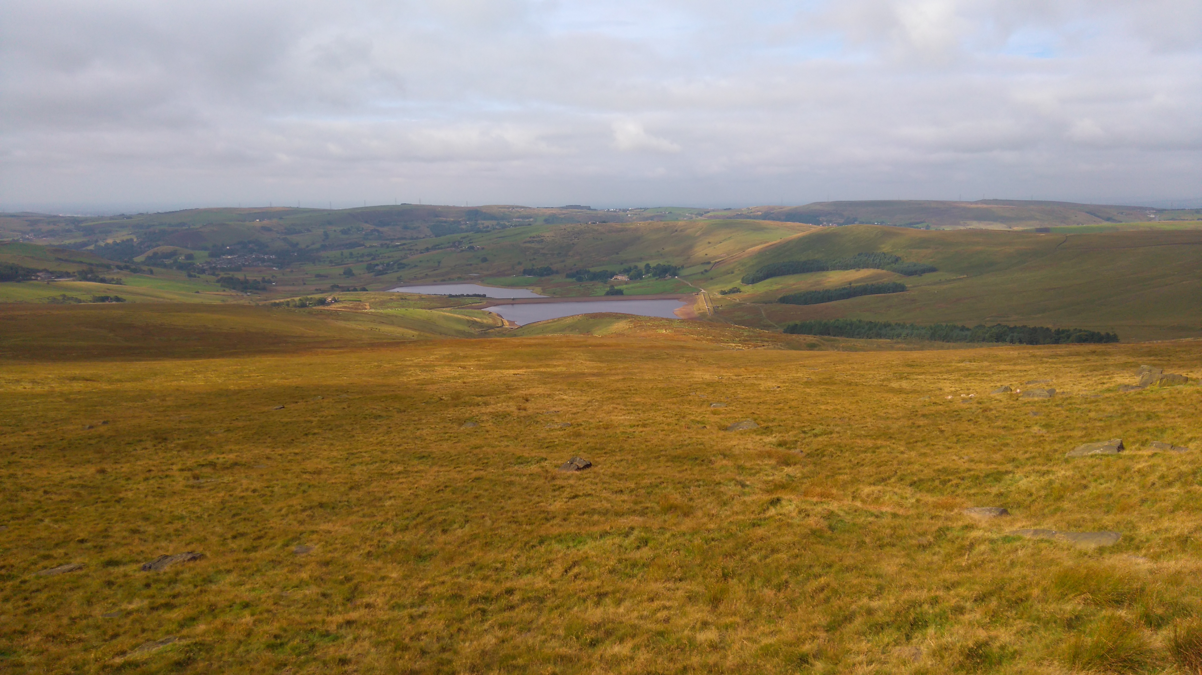
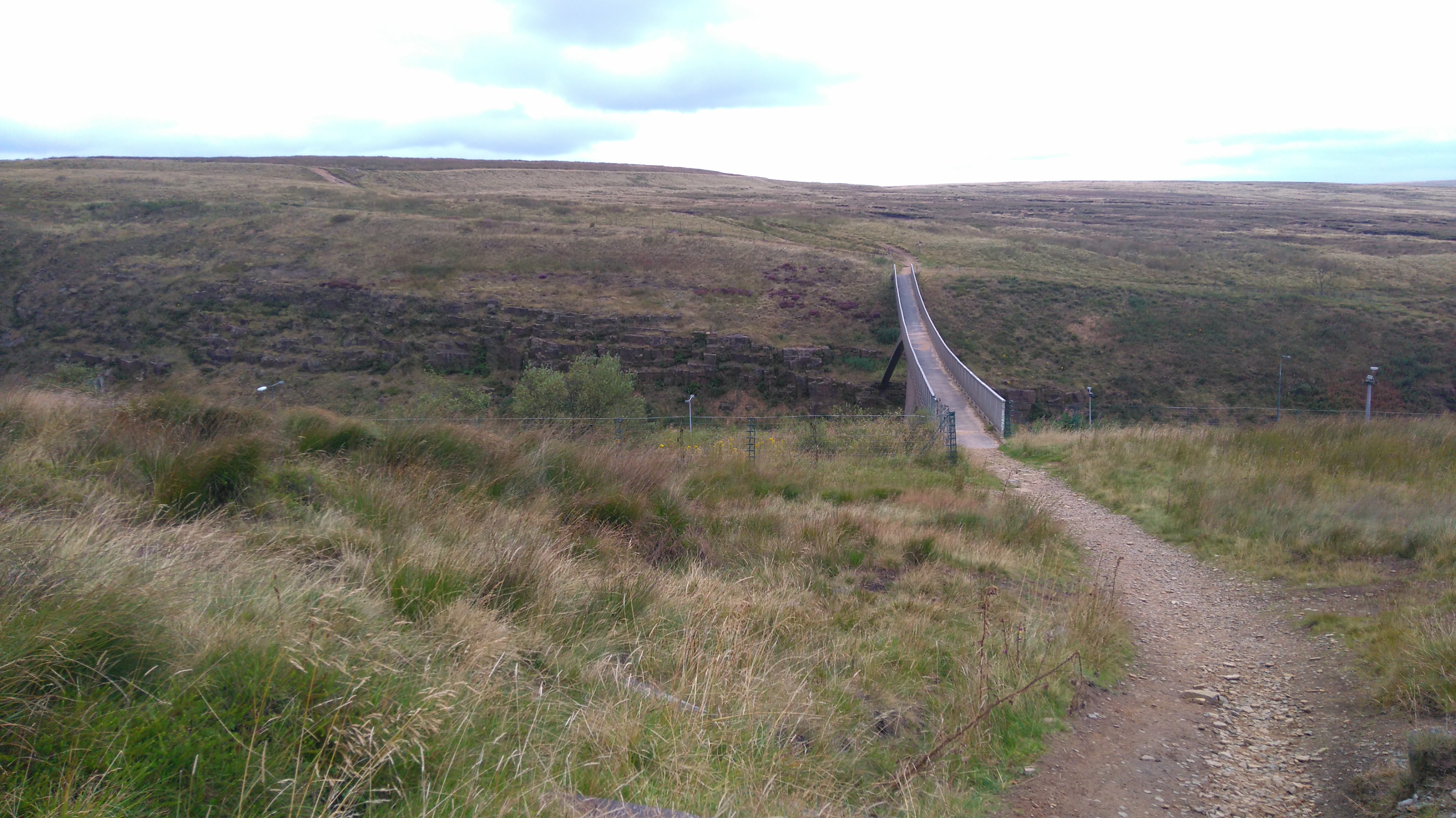
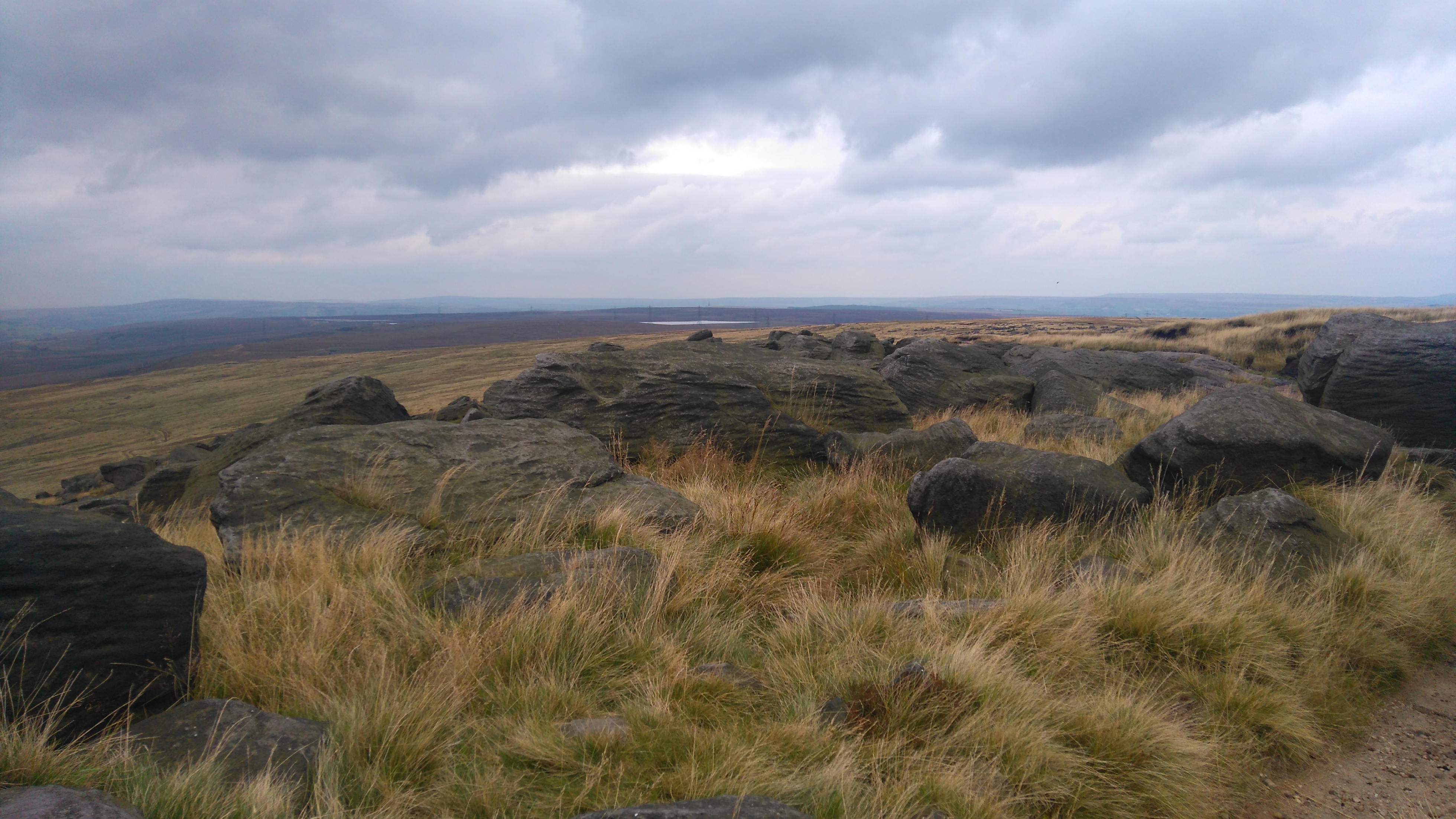
I woke to a wet and windy morning with little visibility. Somehow I managed to get lost following a trail towards Kinder Reservoir, but luckily was guided back to the right path by two other hikers. The walk across Featherbed Moss to the Snake Pass in fog was both eerie and beautiful.
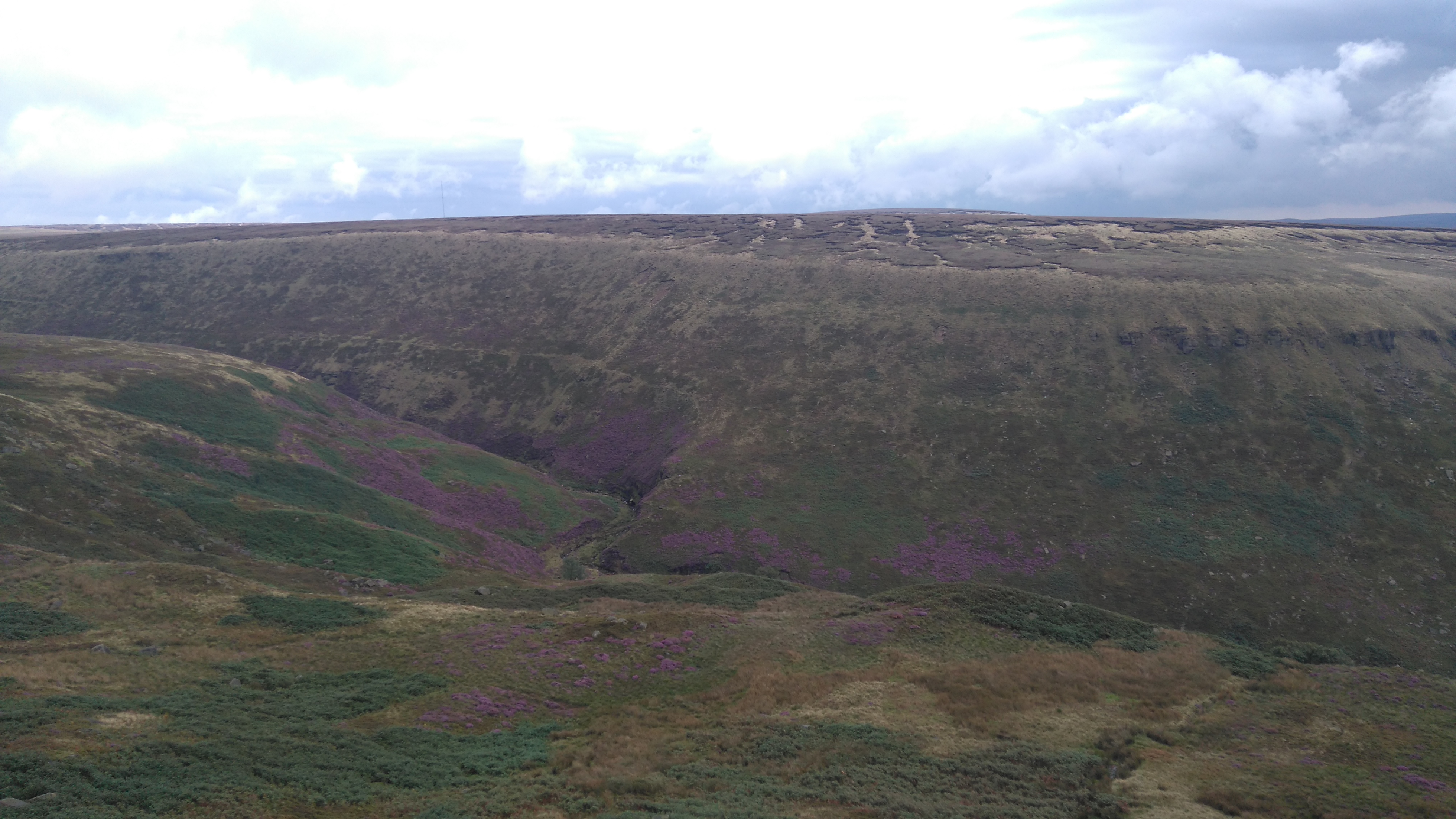
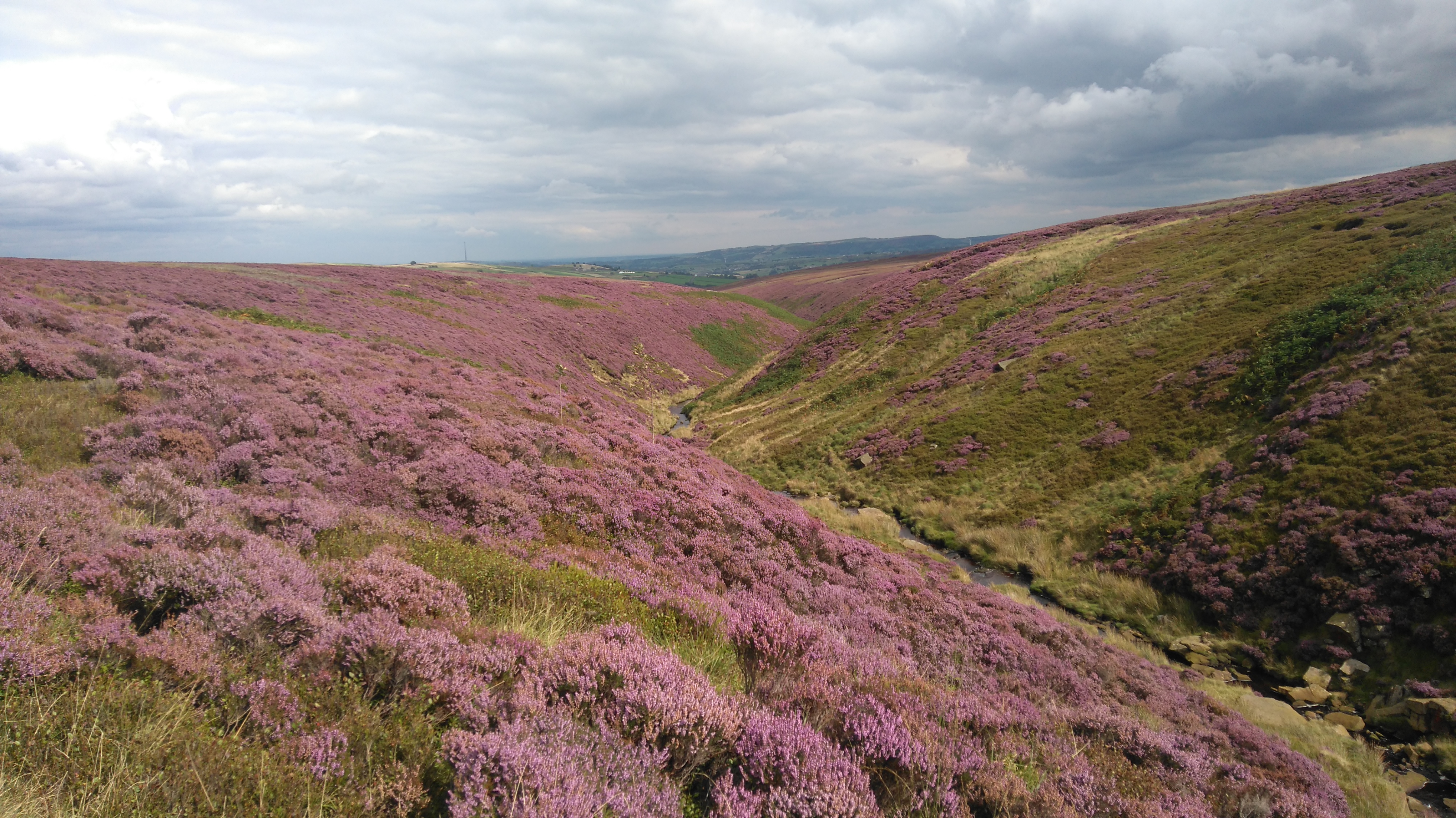
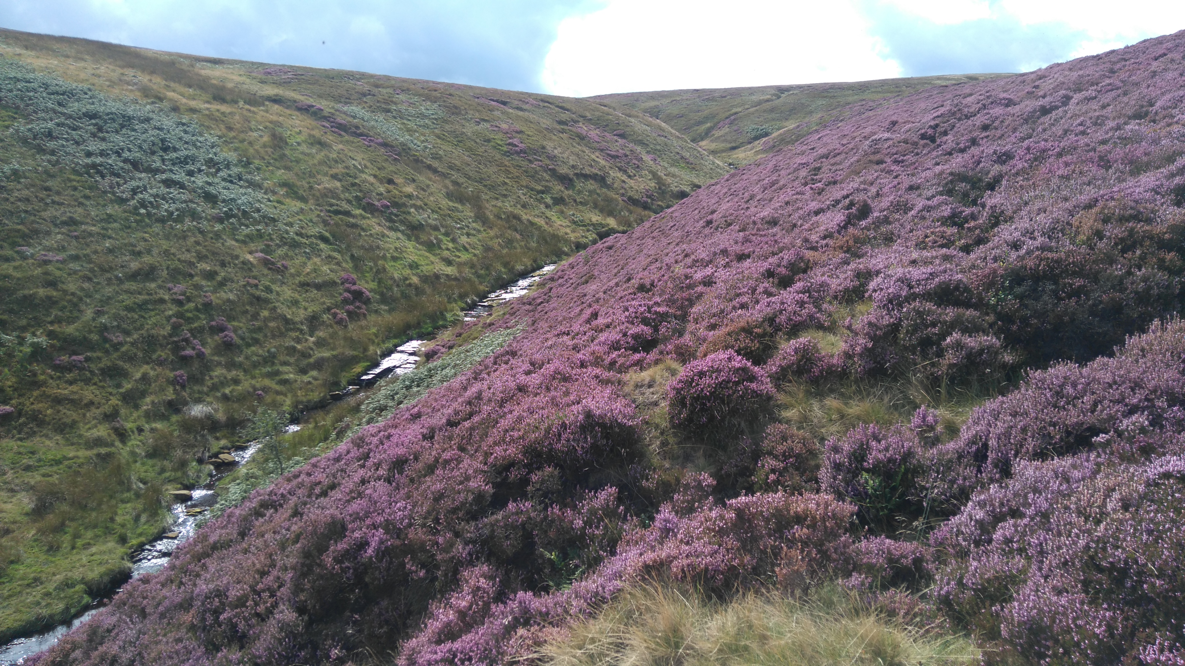
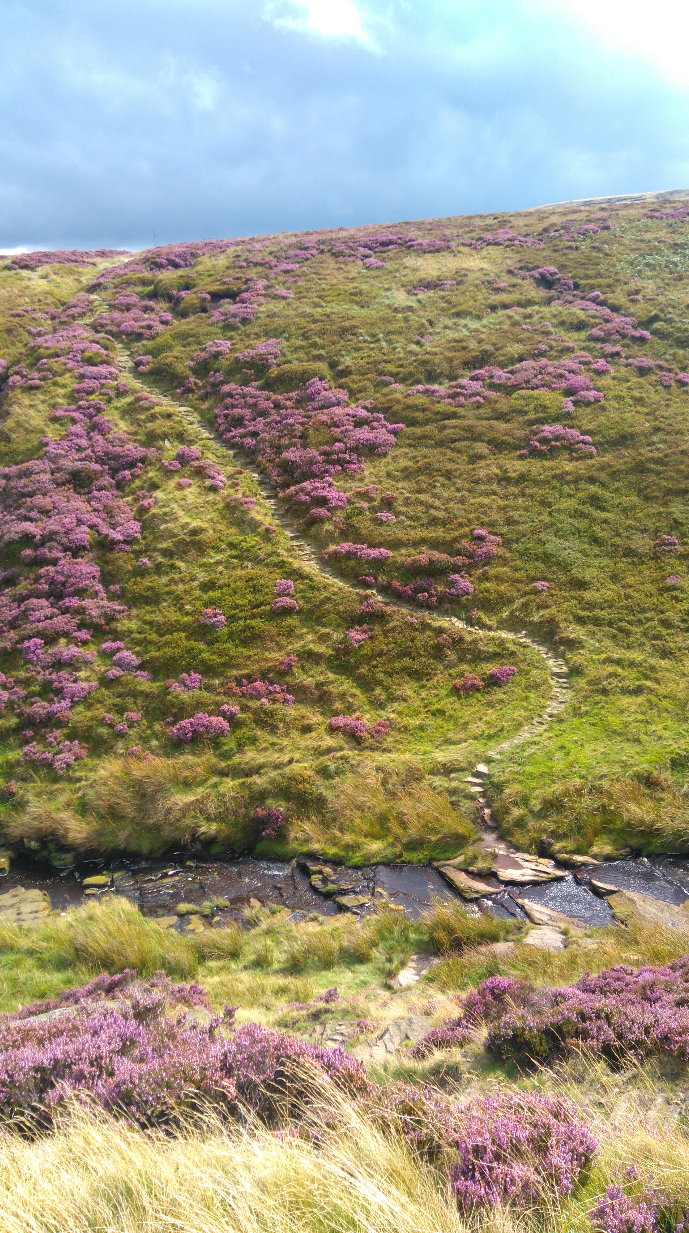
The cloud lifted when I plodded up Bleaklow, revealing good views of Kinderscout behind. The walk up involved a muddy rocky trail following a small stream up to the summit. The walk down to Torside was beautiful, with views of purple and green hills all around.
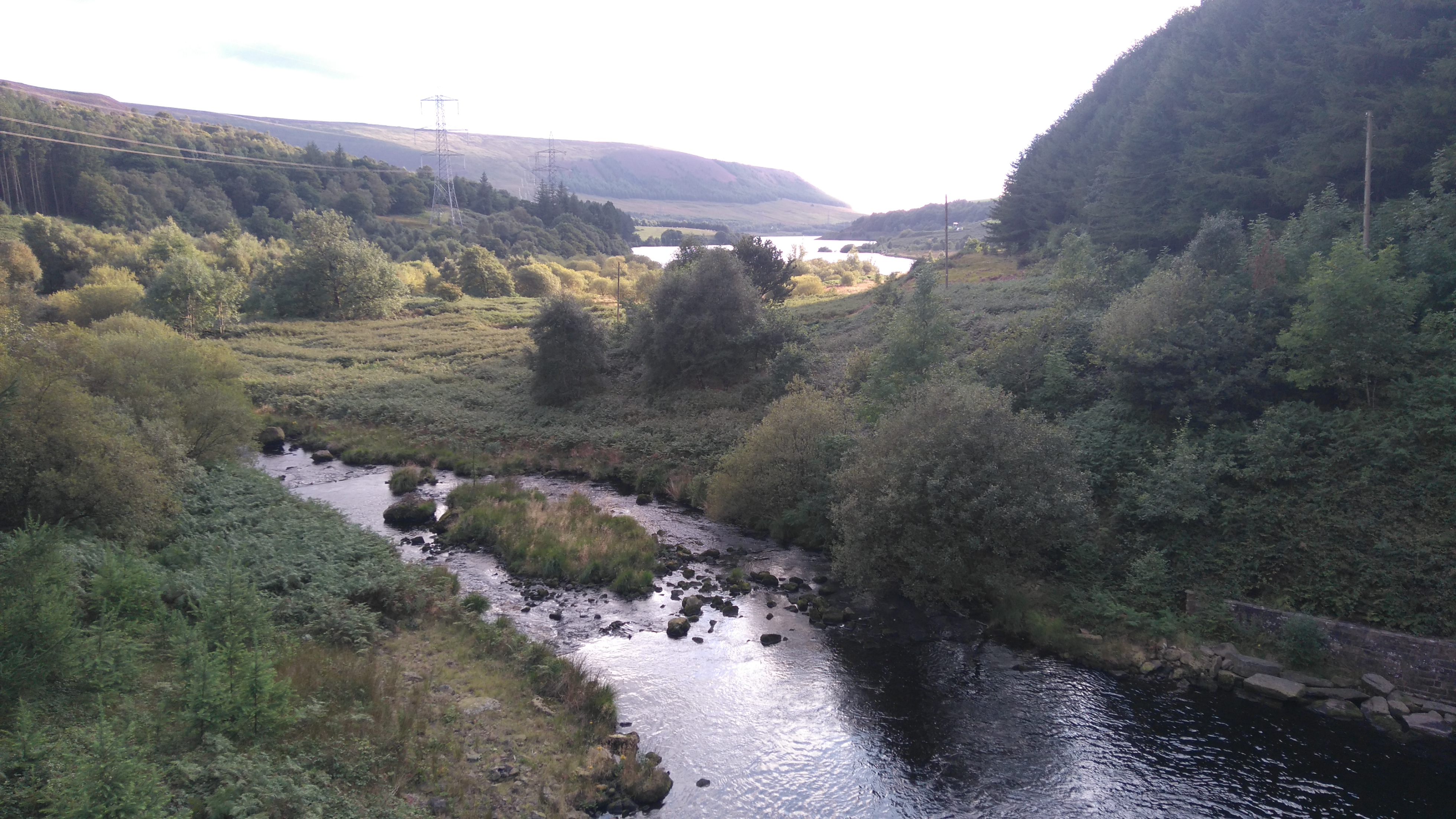
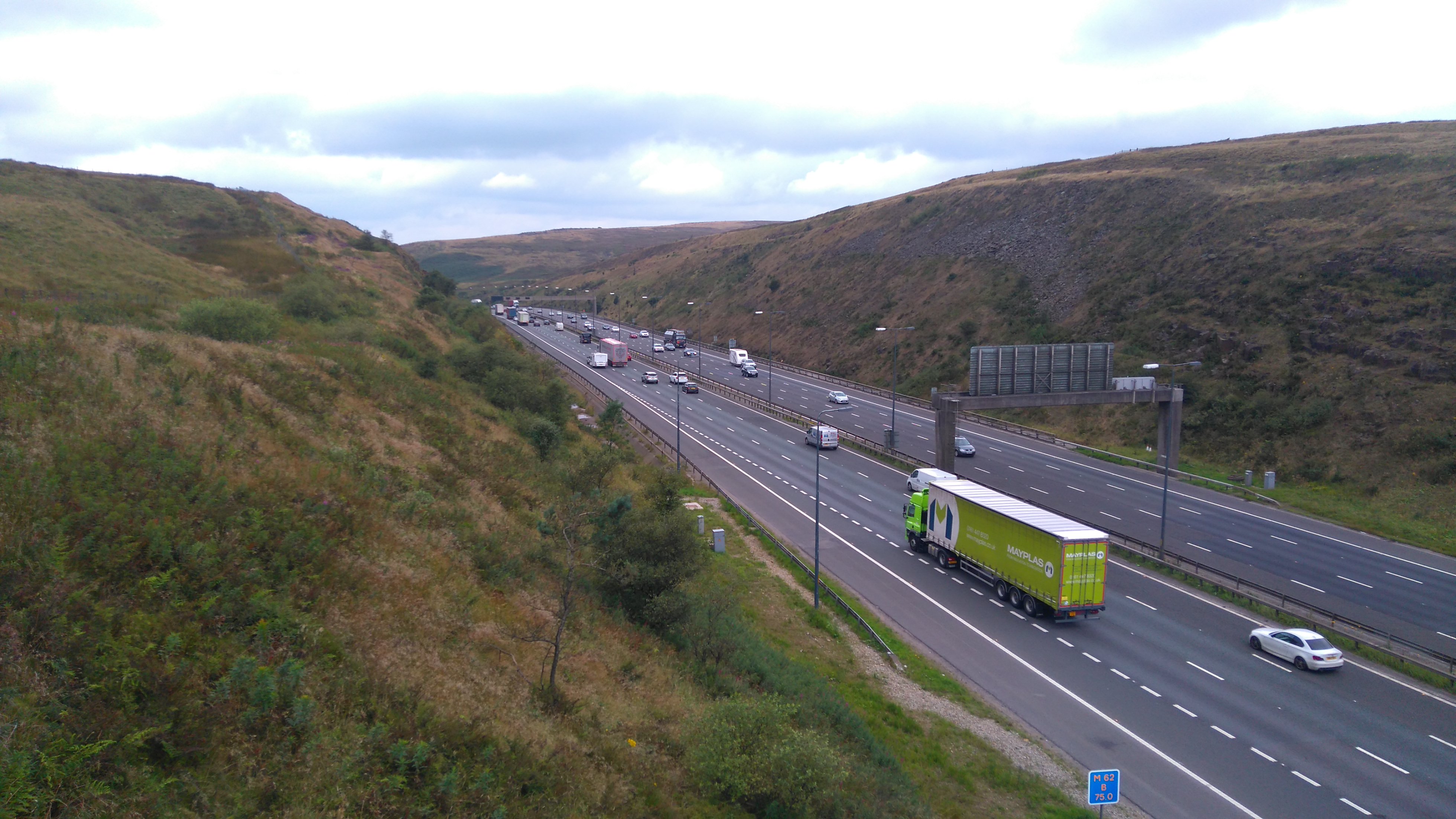
Near Torside Reservoir I chose to follow the Longdendale Trail east to make use of the toilets at a picnic area, then walk further east to the weirs before turning west to Crowden.
At the campsite I shared a patch of grass with other PW hikers, as well as noisy families in caravans, with the busy A628 not far away.
 |
| Bleaklow (looking back at the Snake Pass and Kinderscout) |
 |
| Bleaklow |
 |
| Bleaklow (looking back at Kinderscout) |
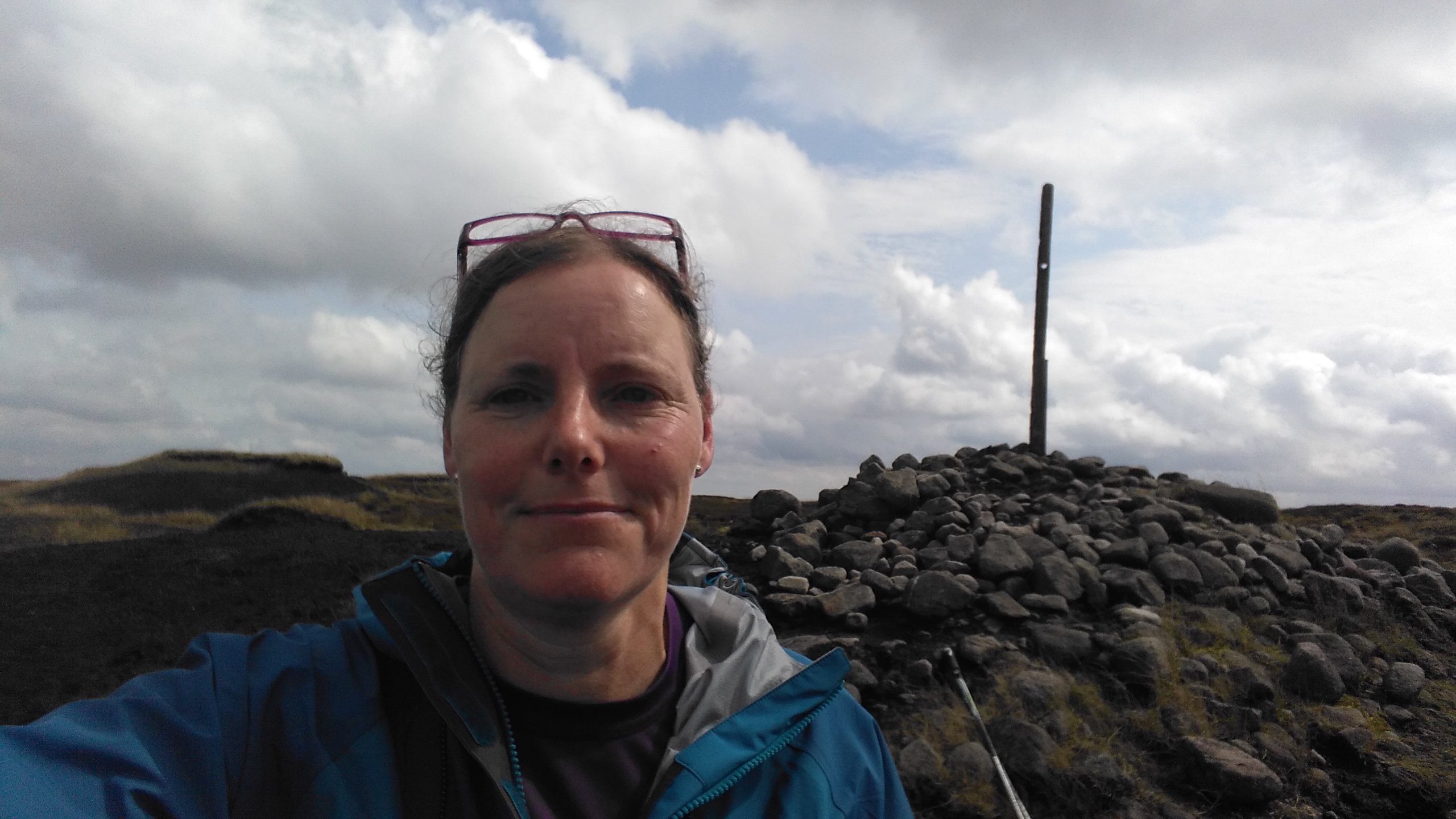 |
| Bleaklow Summit |
 |
| Bleaklow Summit |
 |
| Bleaklow (looking at Torside) |
 |
| Bleaklow (Torside Clough) |
 |
Torside (eastern end)
|
 |
Torside (eastern end)
|
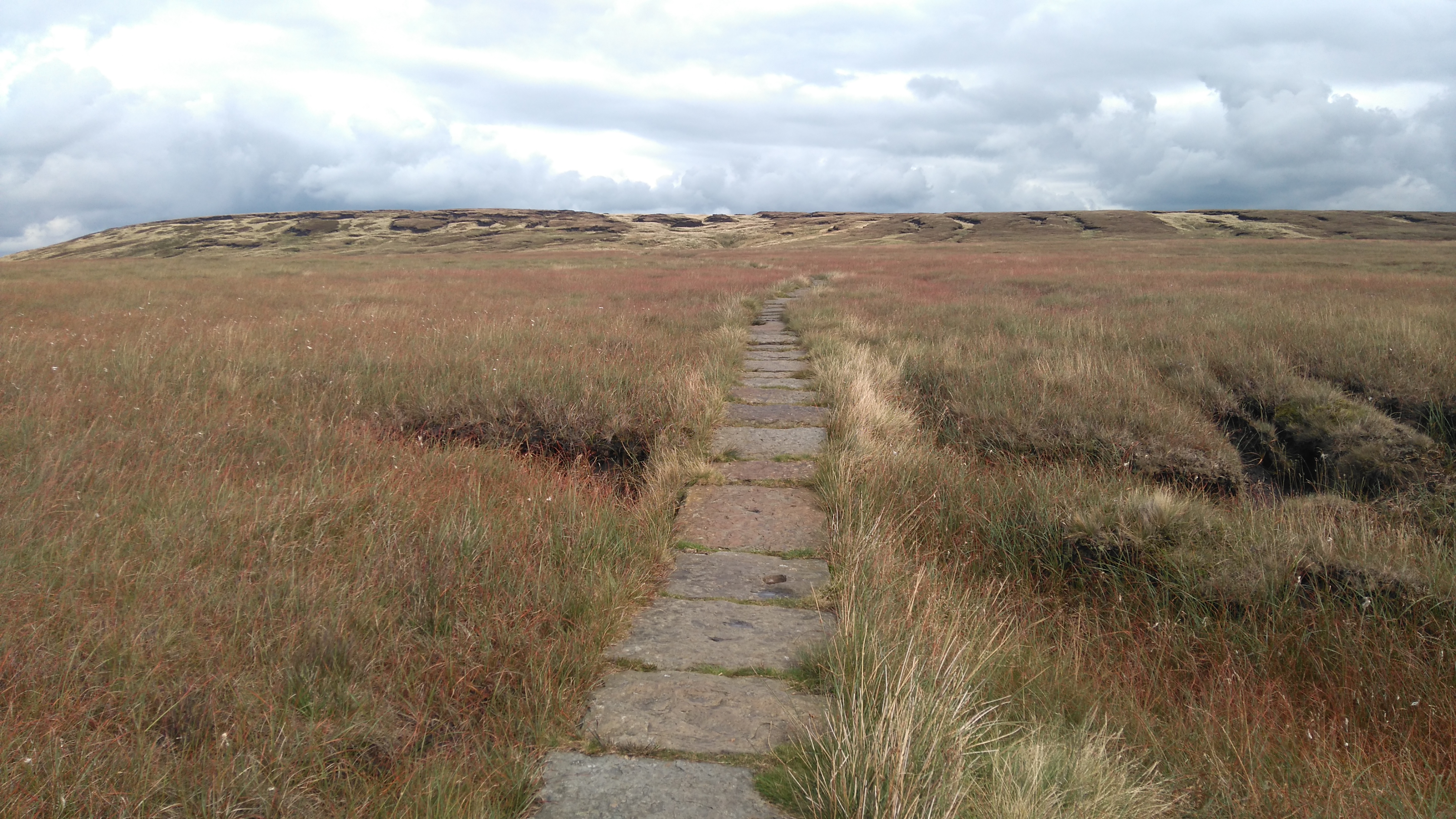
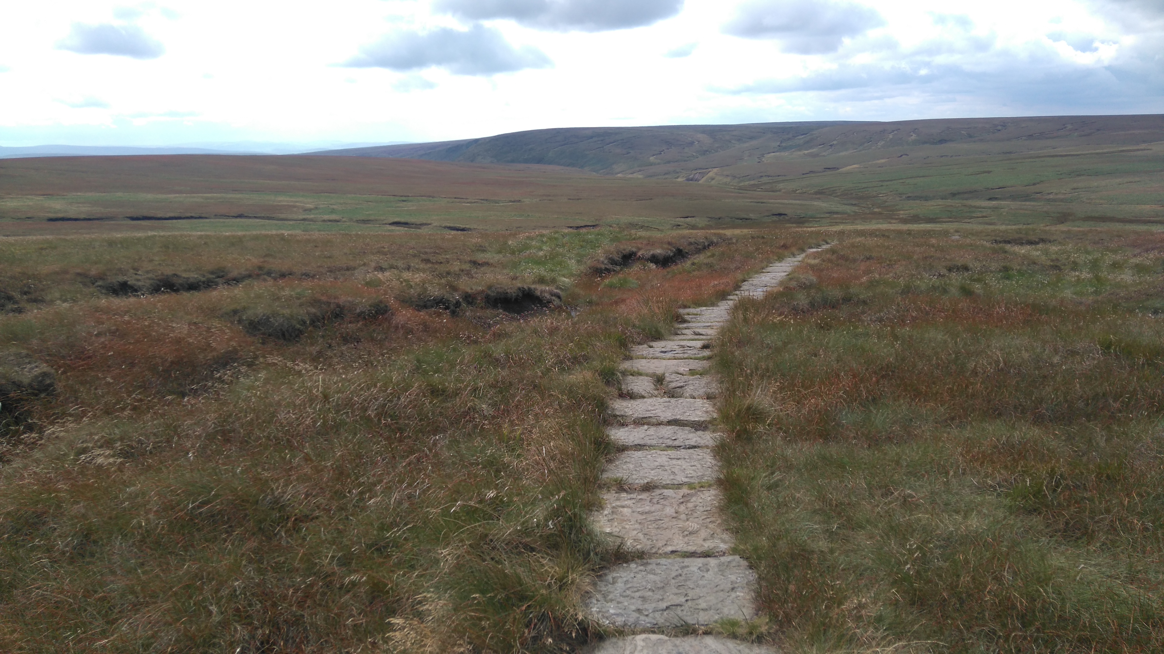
Day three: Crowden to Standedge (via Marsden) 12 miles.
Weather: sunny, mild, breezy on top.
A day of colourful hills, reservoirs, weird and wonderful dining, and a friendly campsite.
Highs:
- Colourful hills
- The Laddow Rocks escarpment
- Meeting nice people
- Getting a Chinese takeaway
- A great welcome in the Carriage House Inn
- A long hot shower and a good sleep
Lows:
- Sore feet
- No burger van on the A635
- Forgetting to fill water bottles
 |
| PW1 day 3 |
Diary day three:
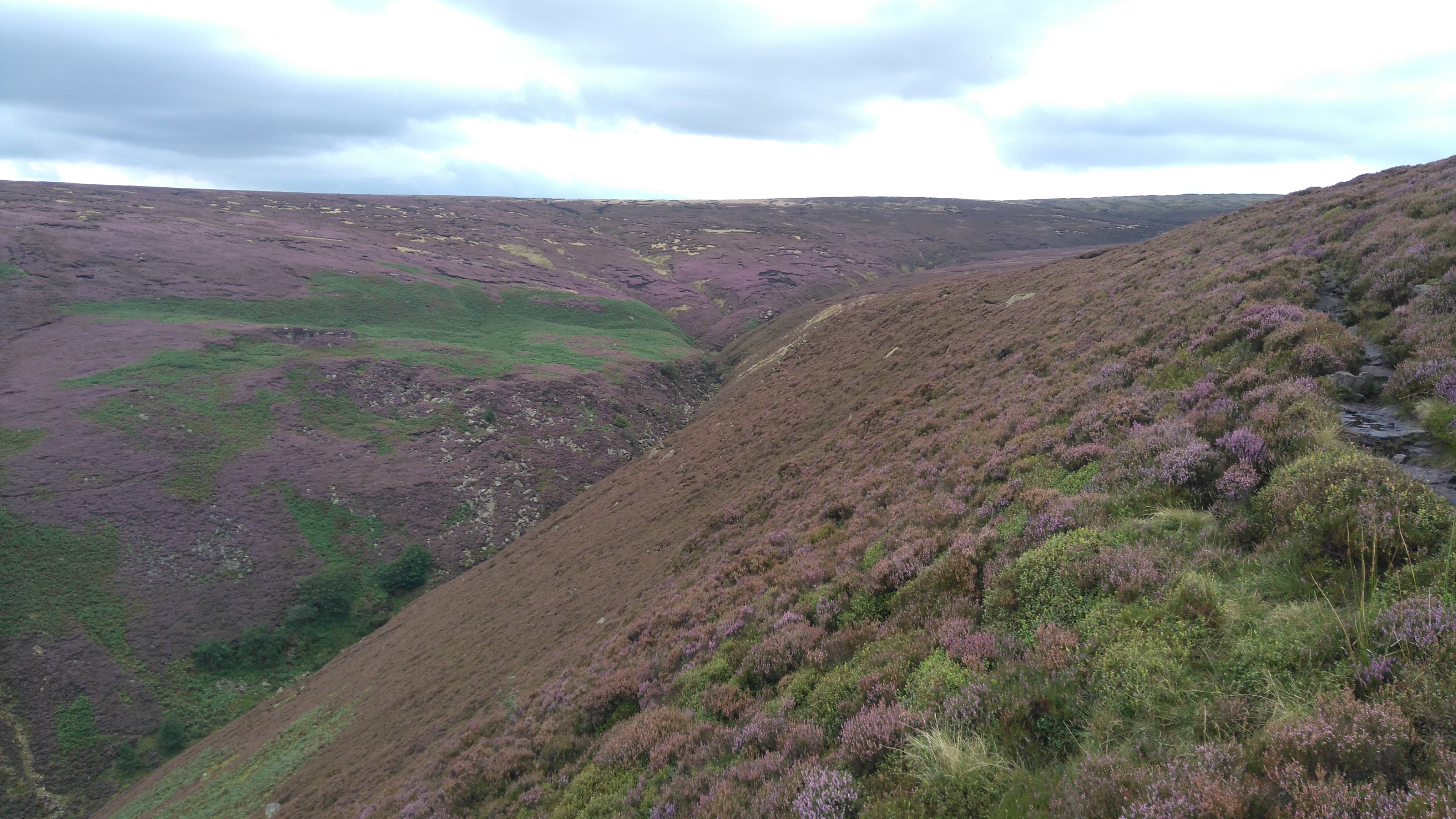
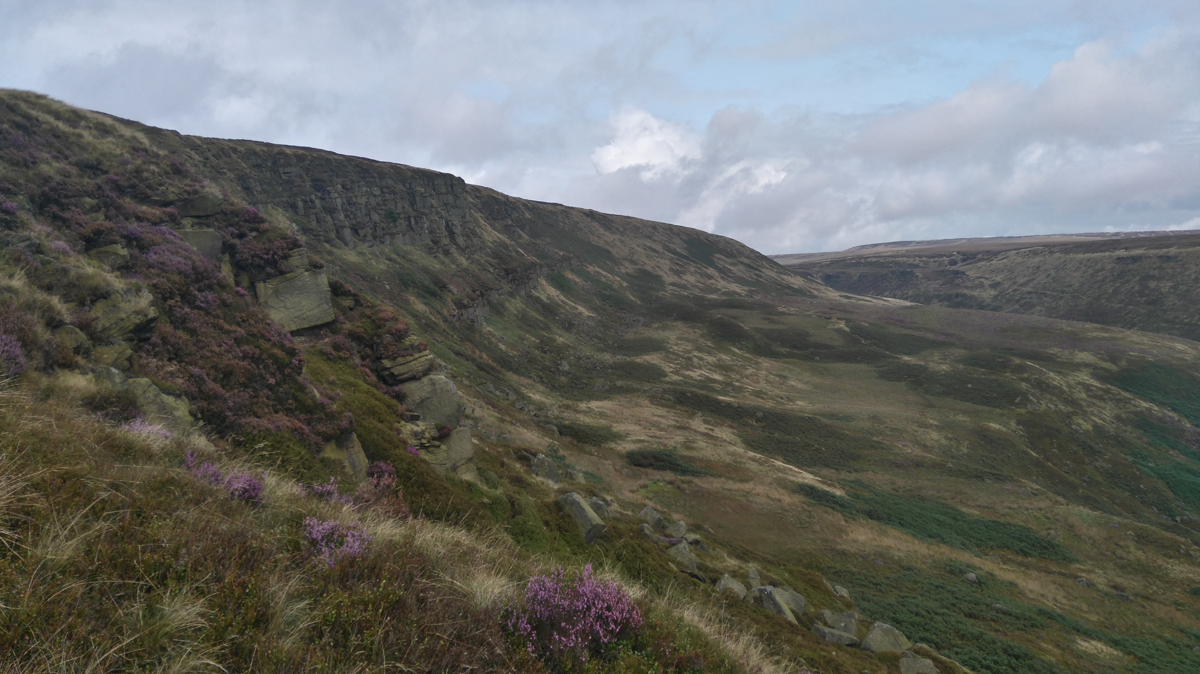
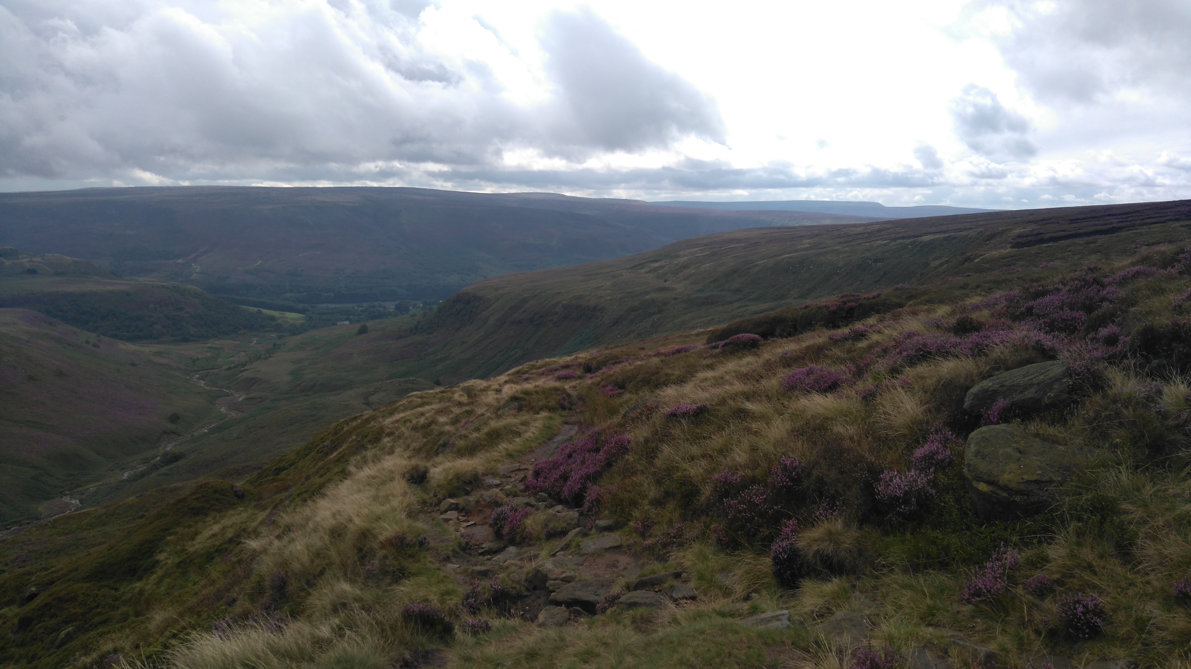
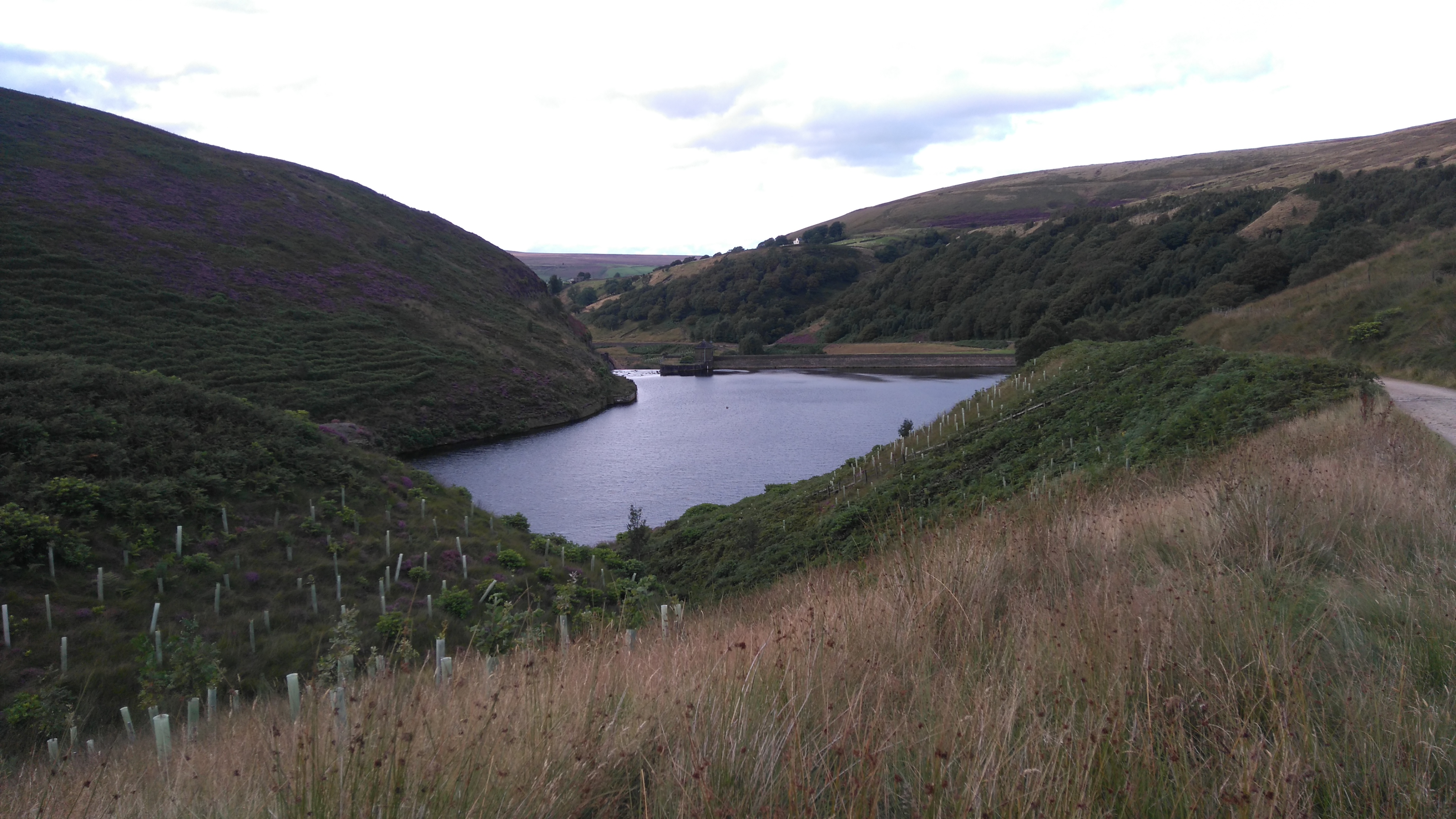
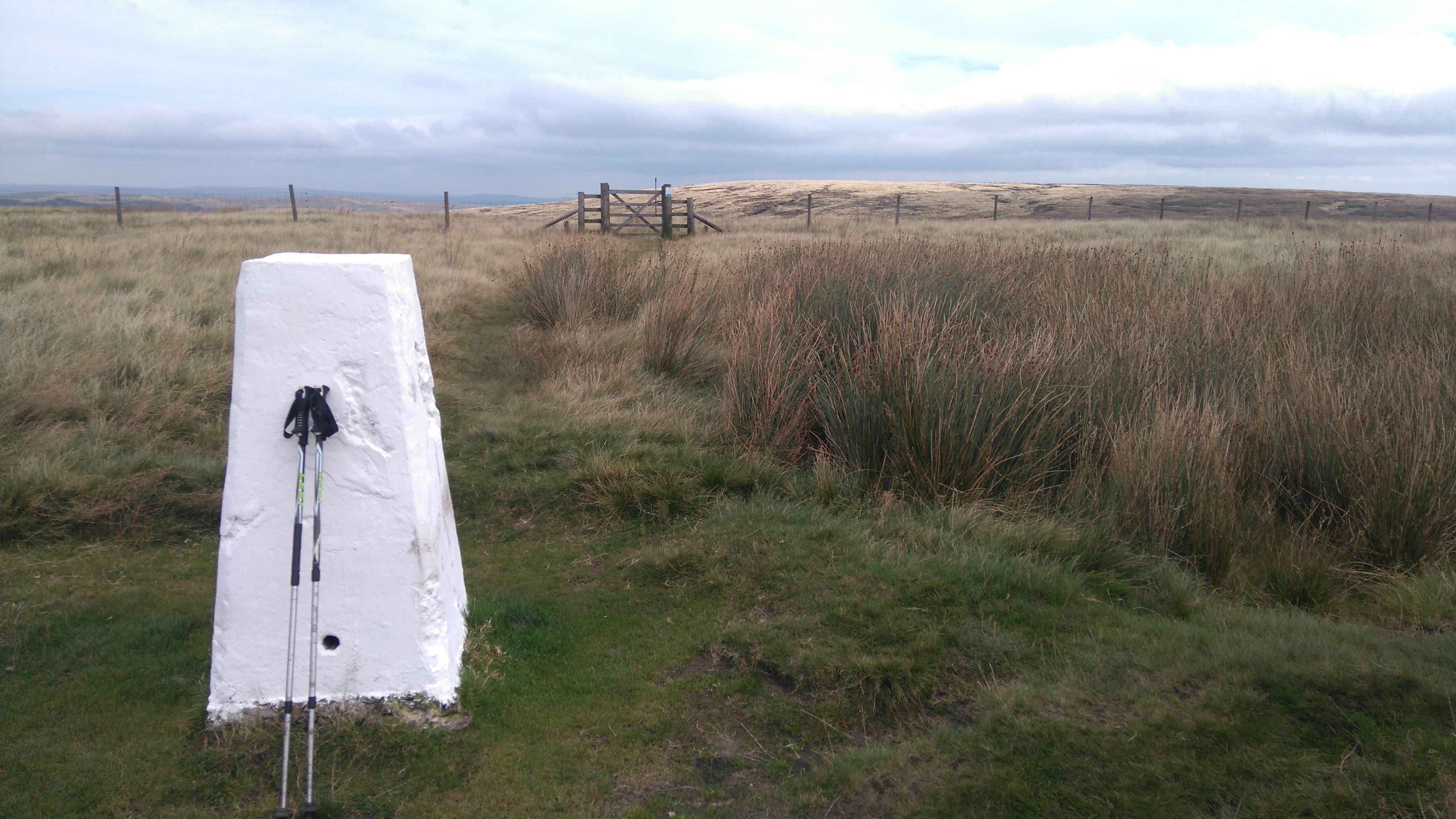
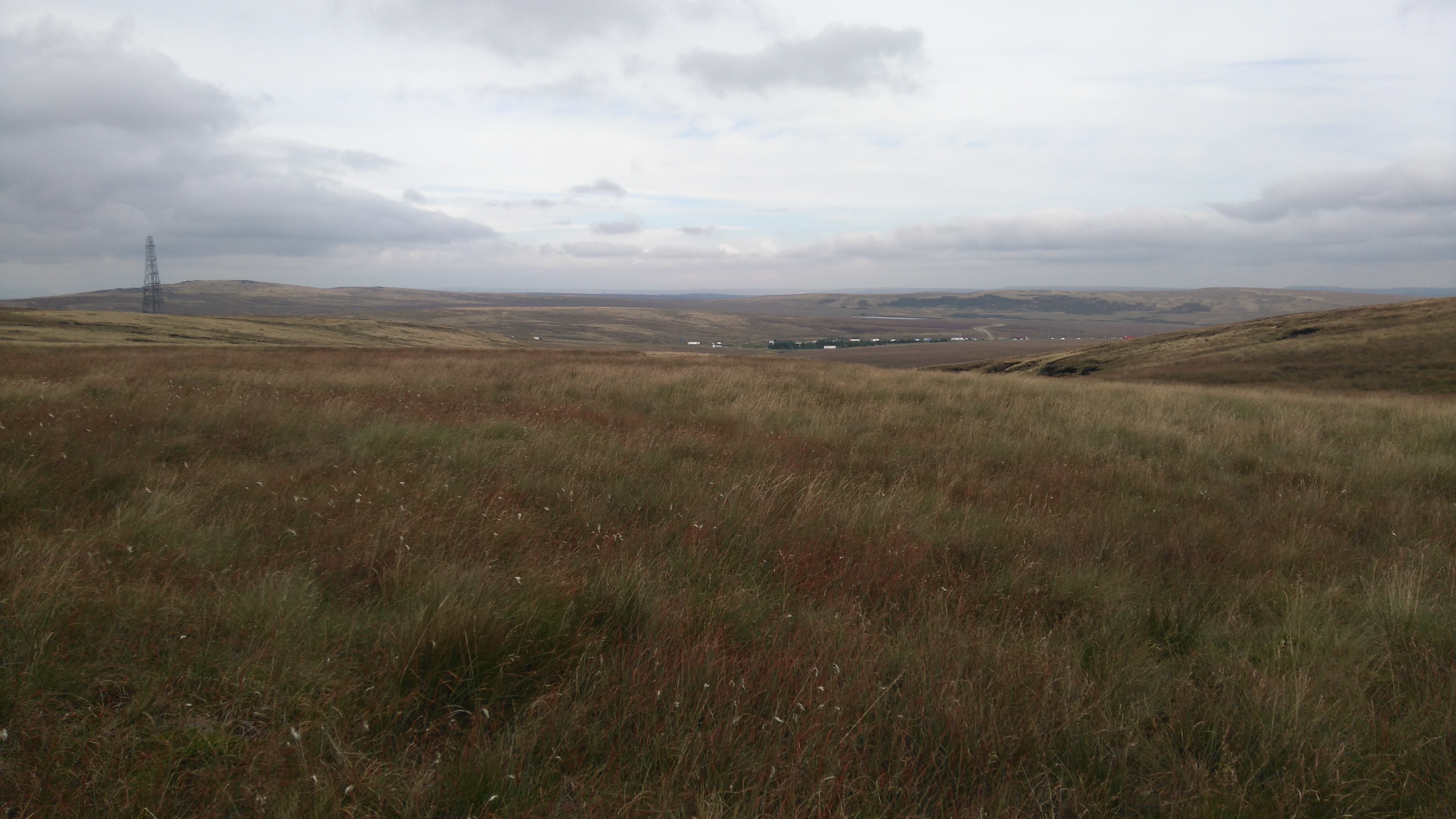
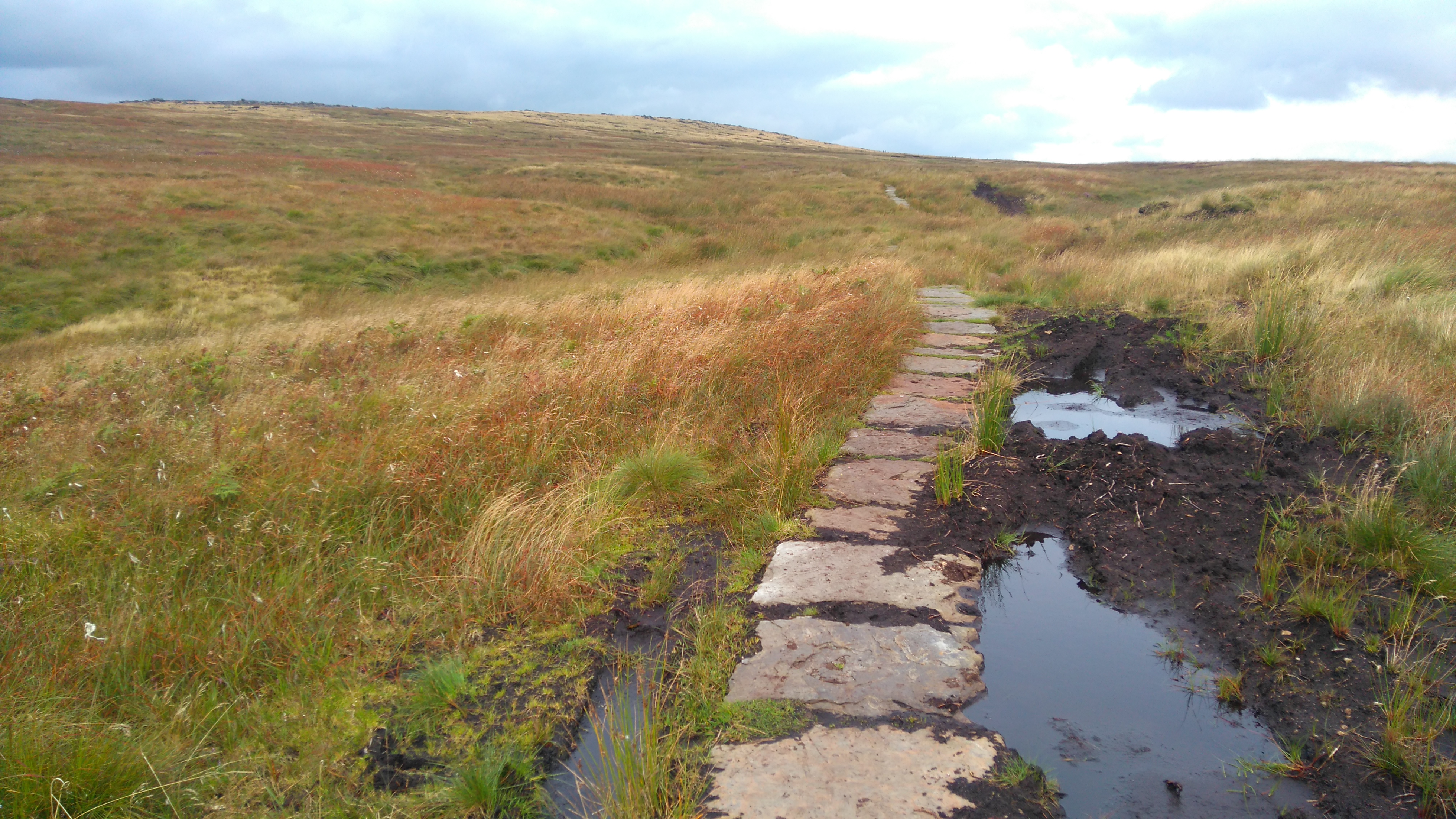
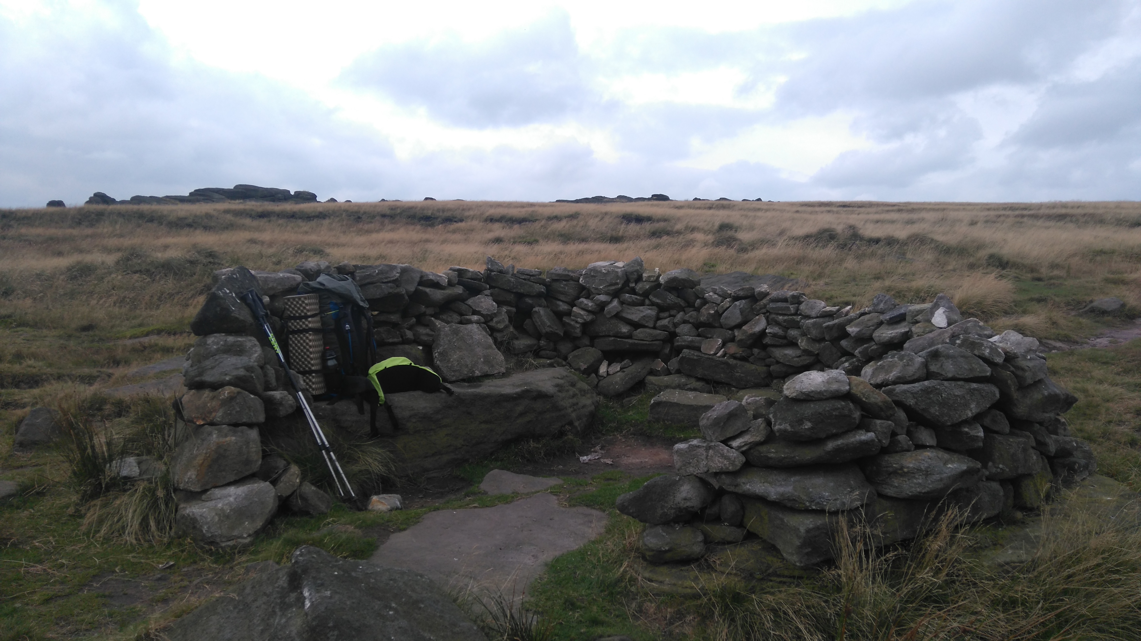
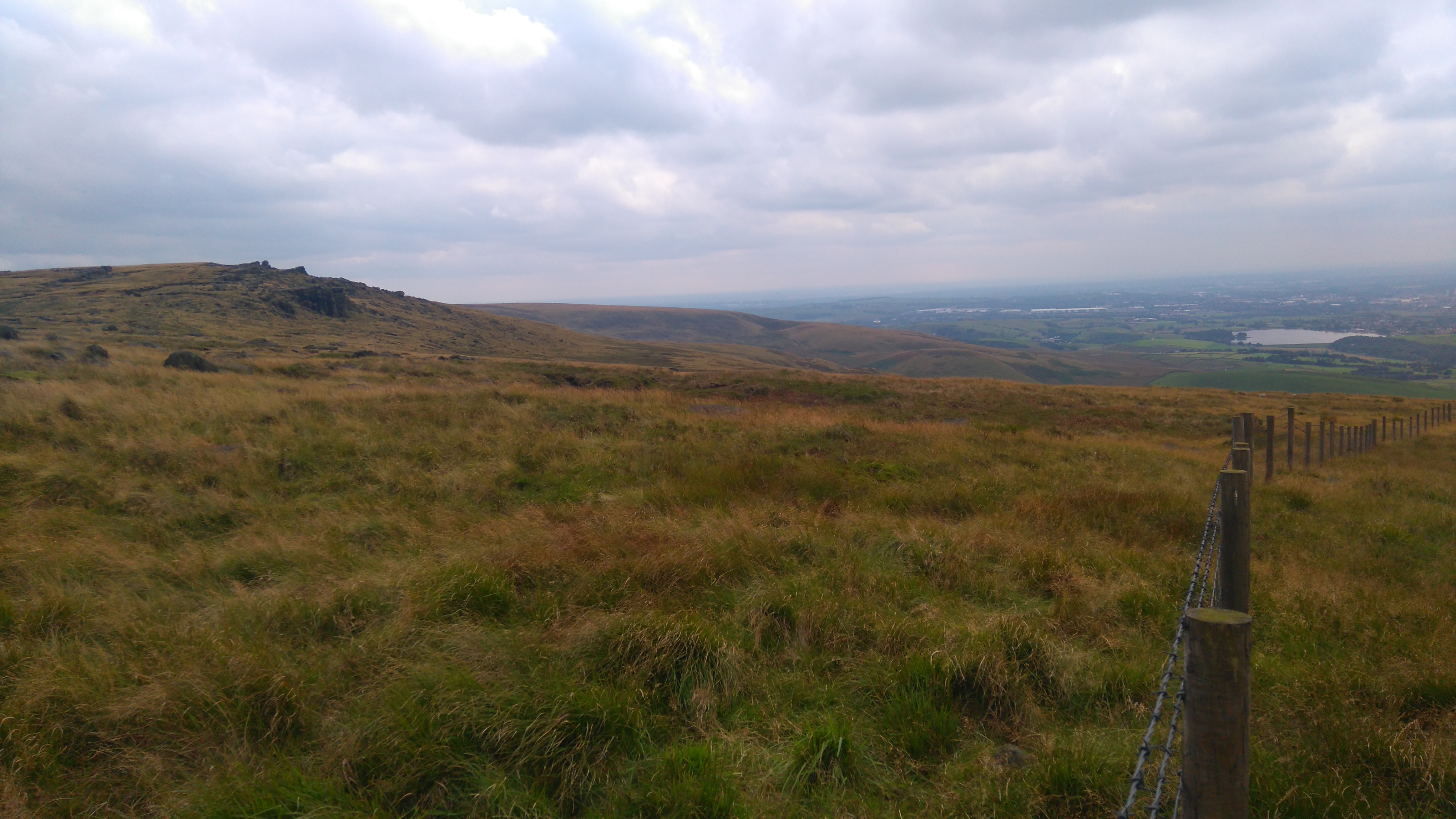
I woke to sunshine and spent the morning walking up Black Hill, then down to Wessenden, enjoying the views of purple, green and yellow hills all round.
After lunch at Wessenden Head Reservoir, I followed the Kirklees Way all the way to Marsden, passing several more reservoirs nestling in the hills.
In Marsden I had a Chinese take-away, which I ate in the church yard while getting disturbed by two (homeless?) chaps having a dispute over small change.
Later I followed the road to the Carriage Inn where, after a warm welcome (hikers, bar staff and total strangers), I pitched my tent behind the pub next to a few other PW hikers.
 |
| Black Hill (the Laddow Rocks) |
 |
| Black Hill (the Laddow Rocks) |
 |
| Black Hill (looking east) |
 |
| Black Hill (looking south) |
 |
| Black Hill |
 |
| Black Hill |
 |
| Black Hill (looking back) |
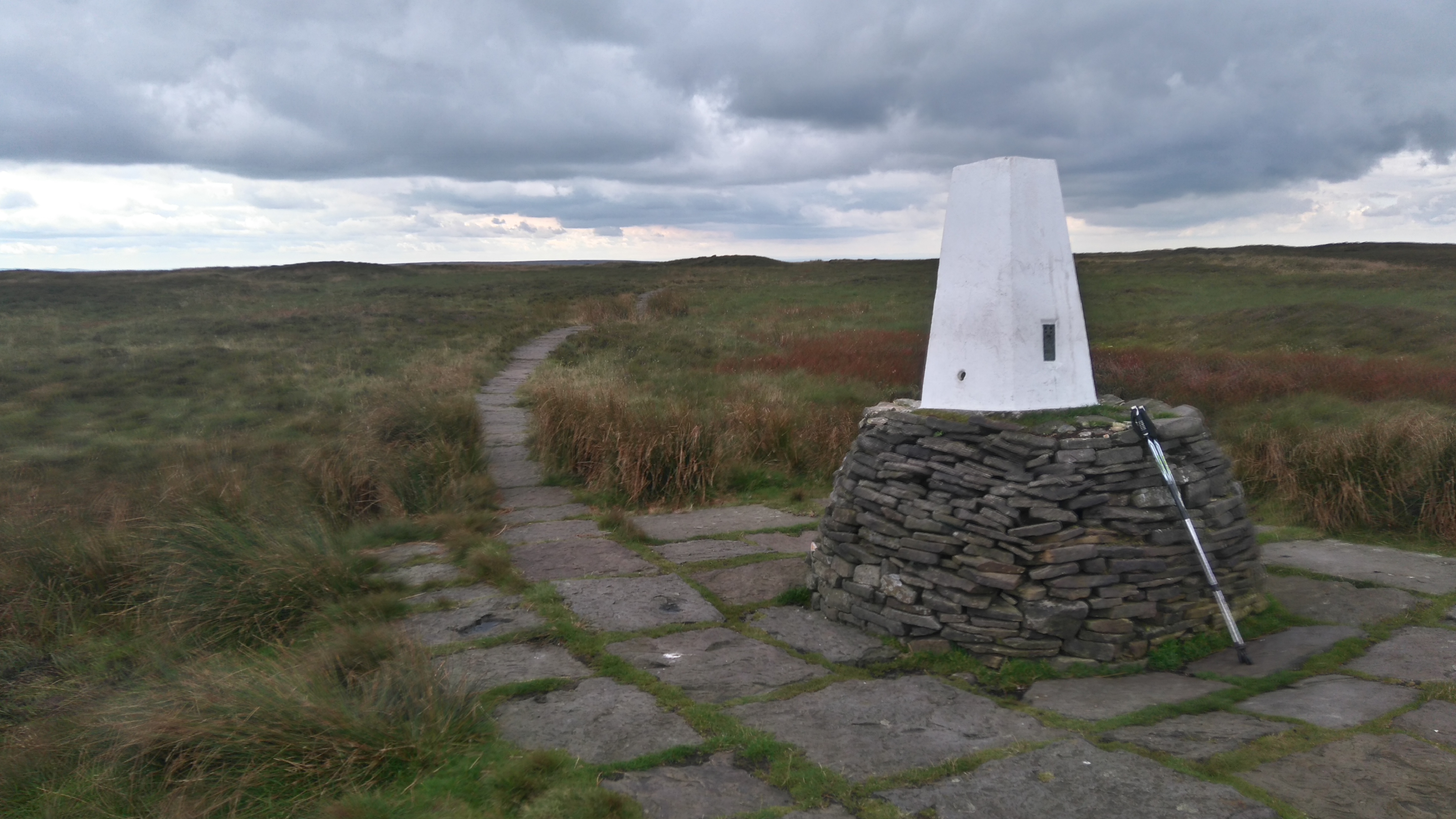 |
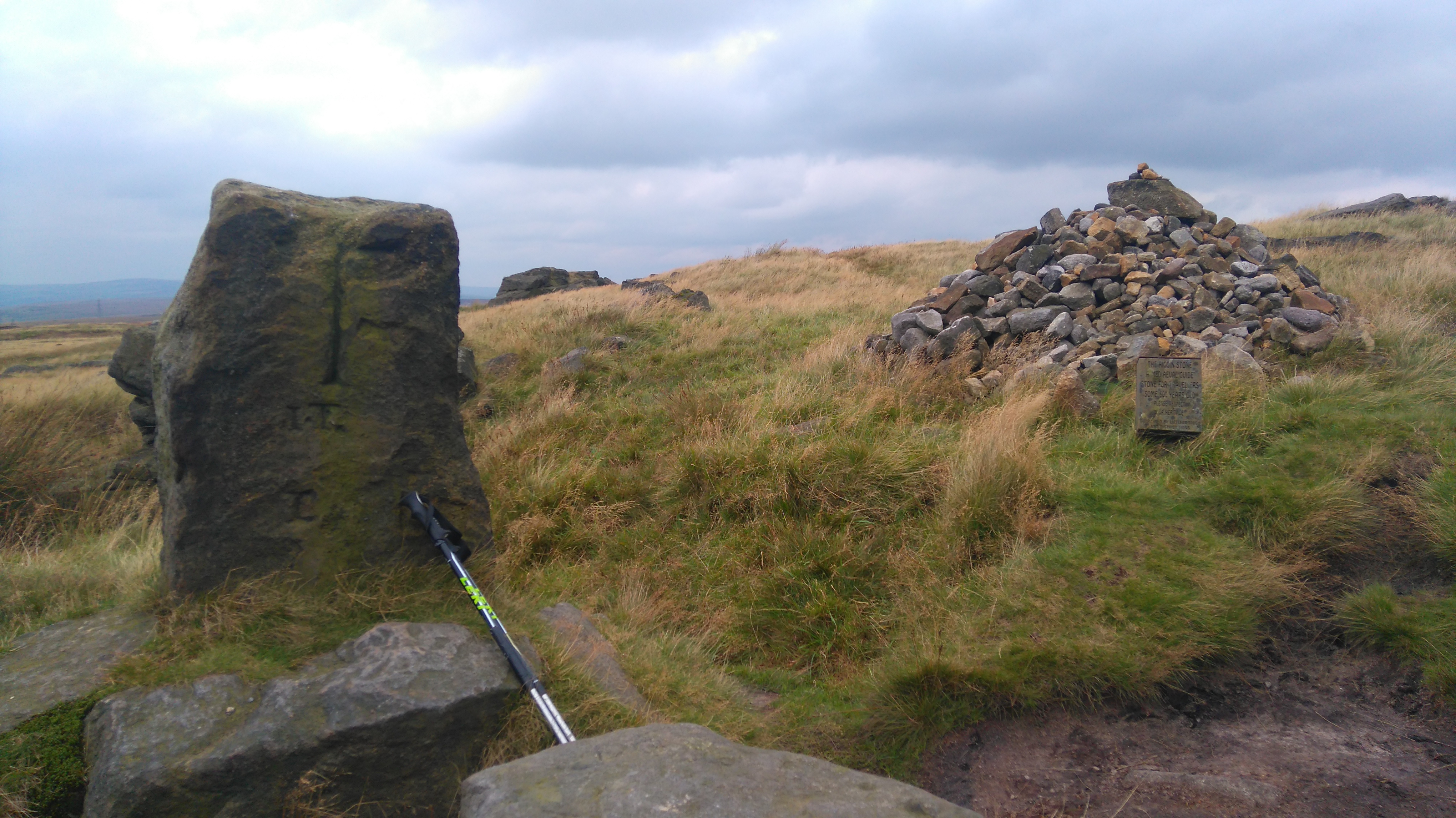
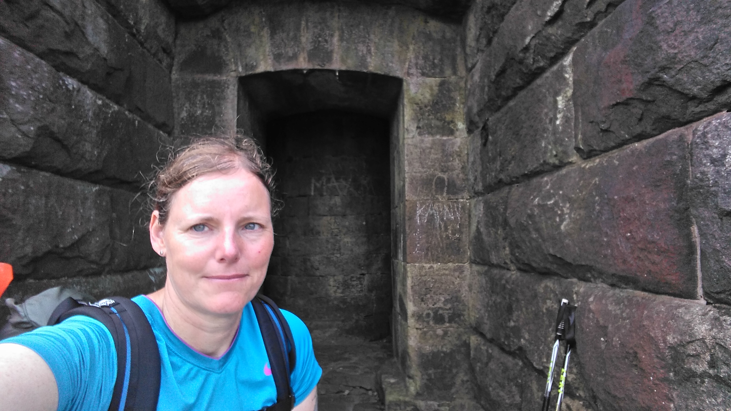
| Black Hill (Soldiers Lump 582m) |
 |
| Black Hill |
 |
| Black Hill |
 |
| Black Hill (Dean Clough) |
 |
| Wessenden Head |
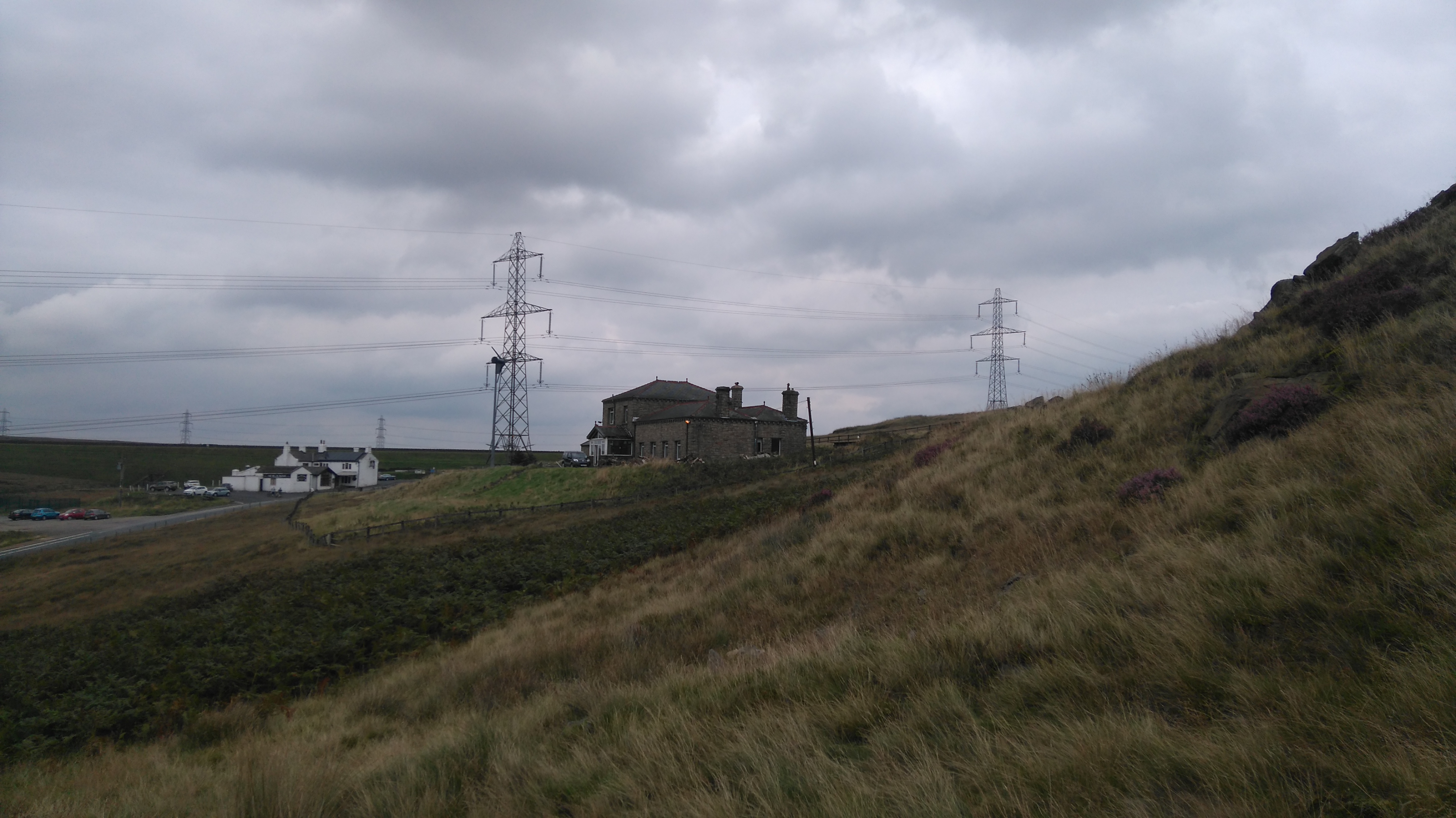
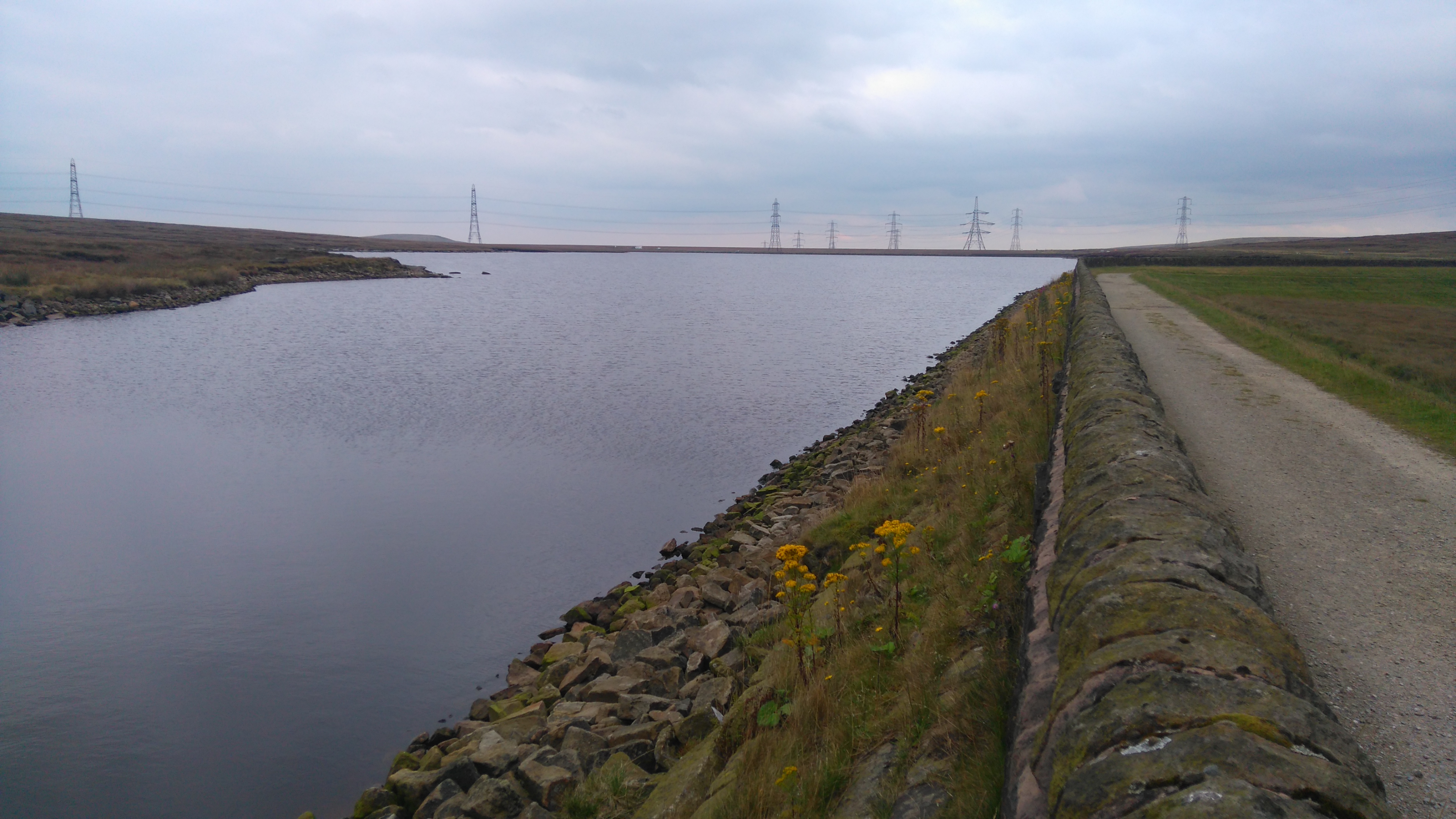
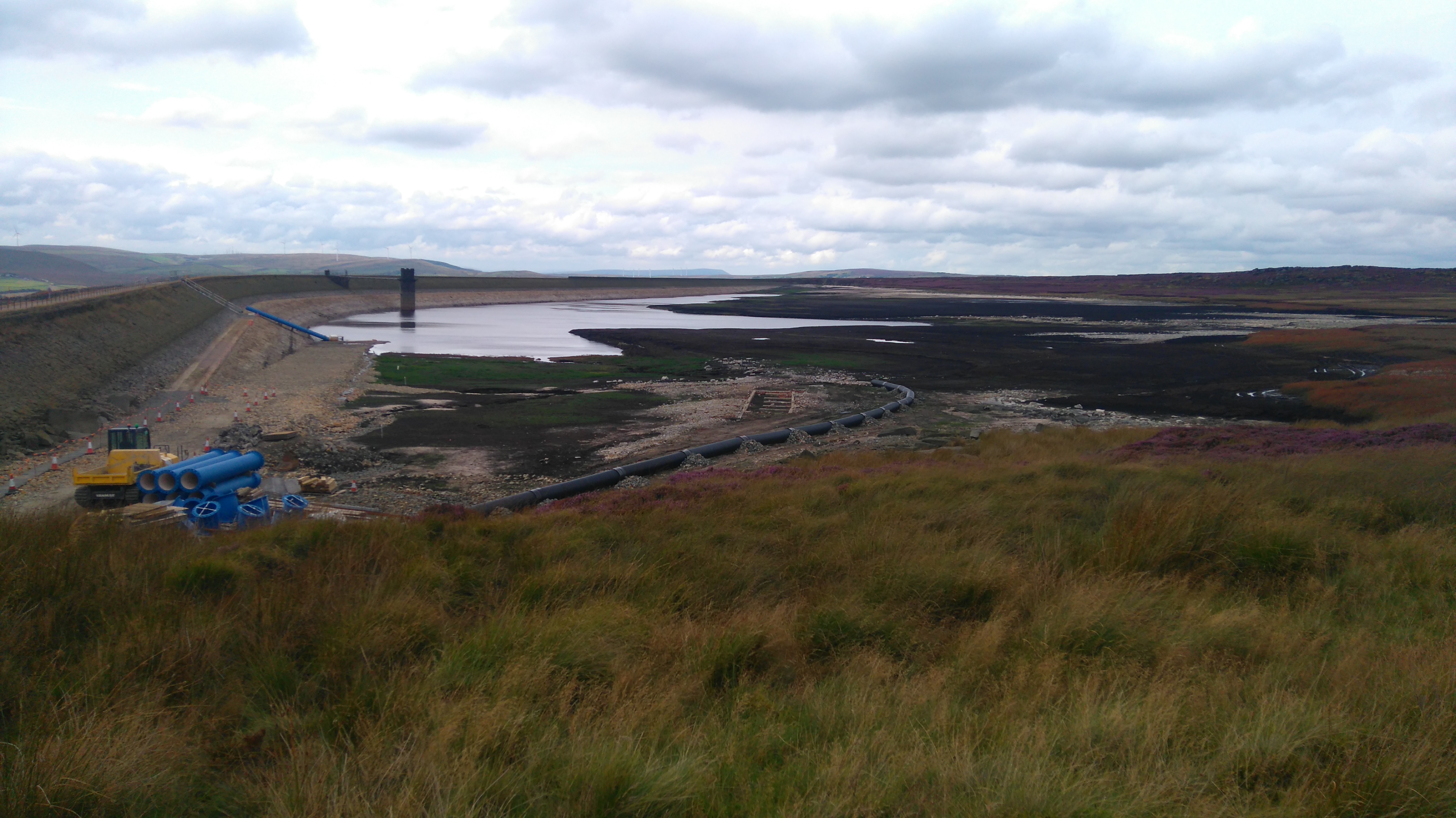
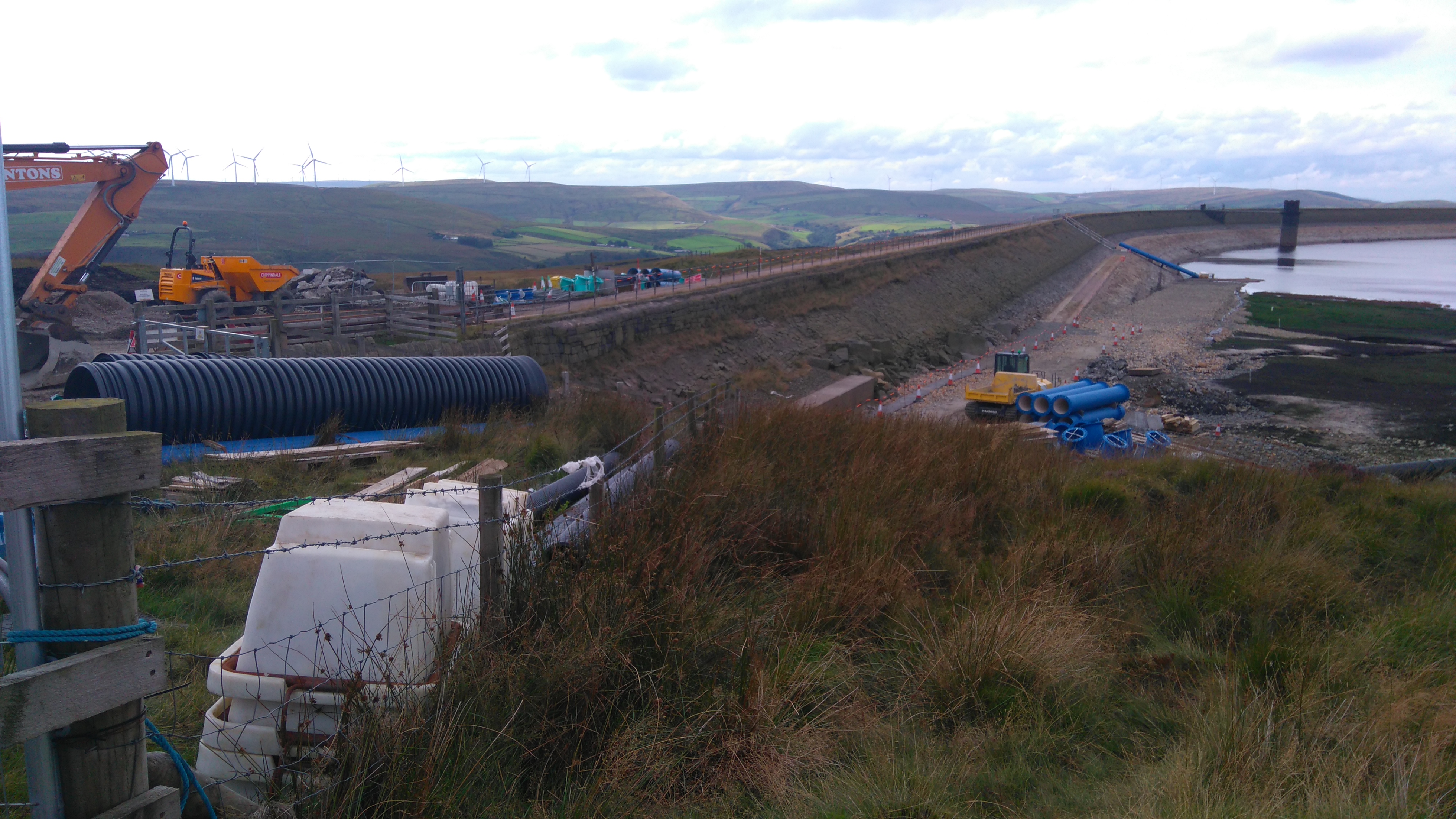
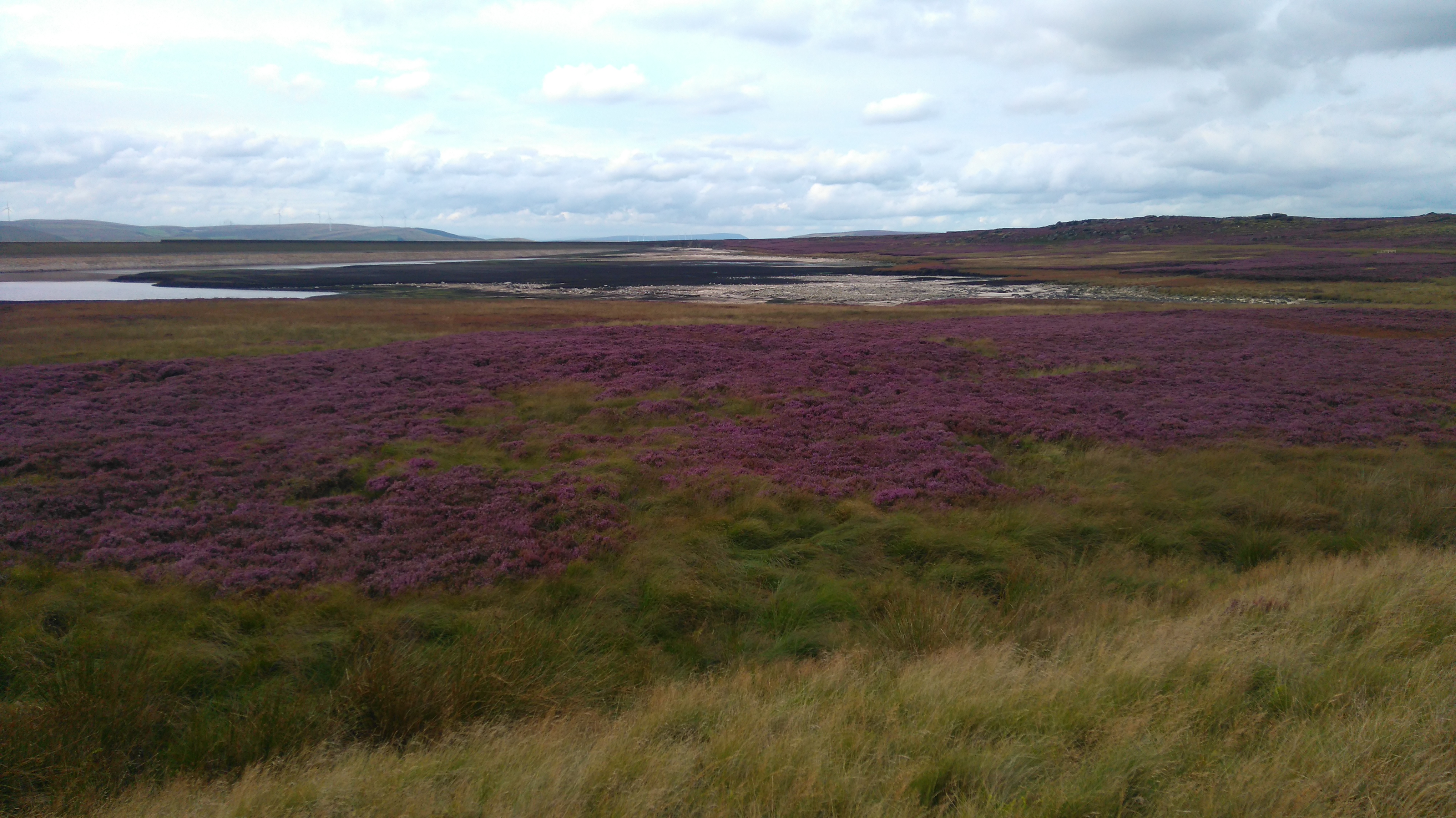
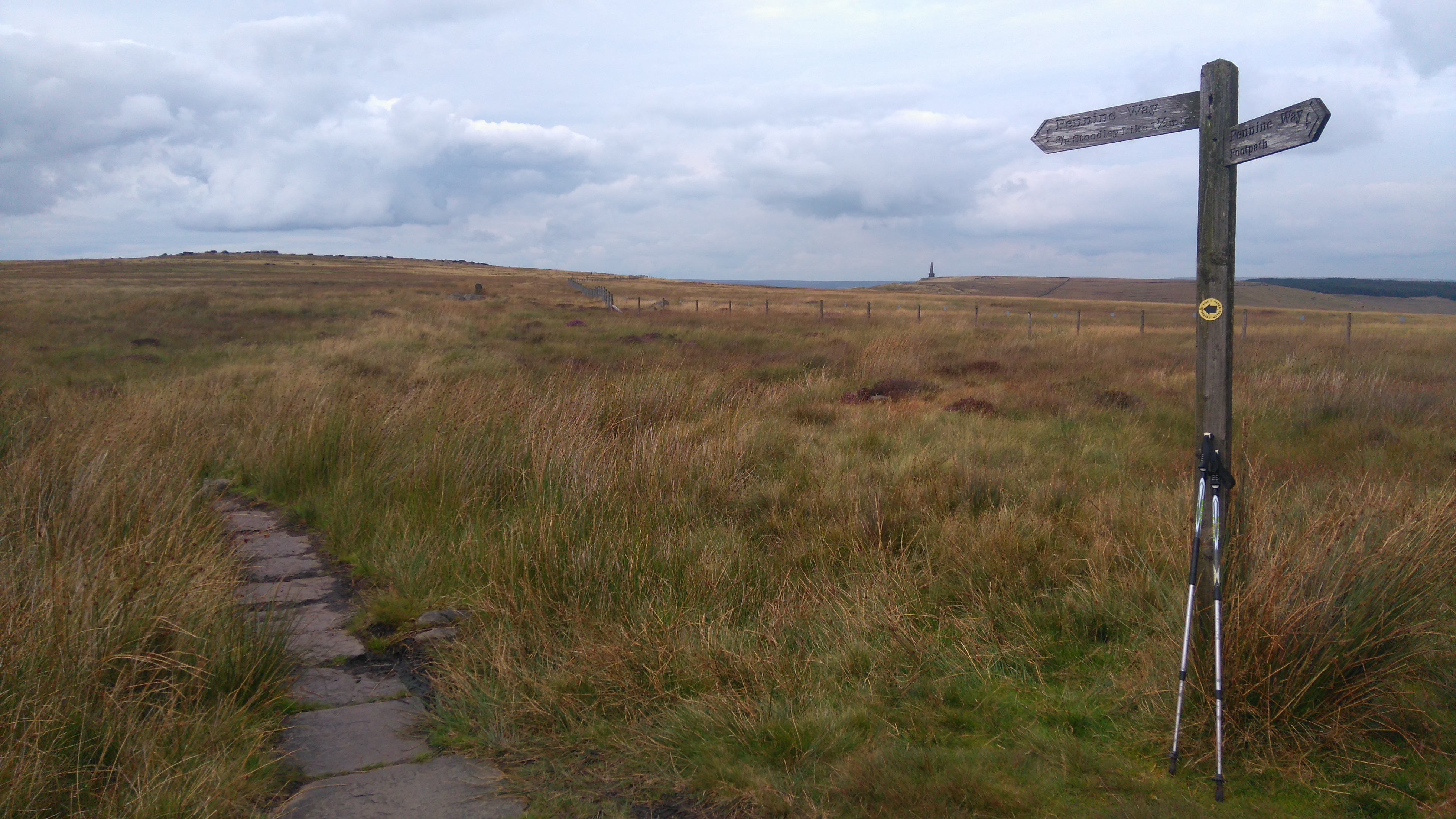
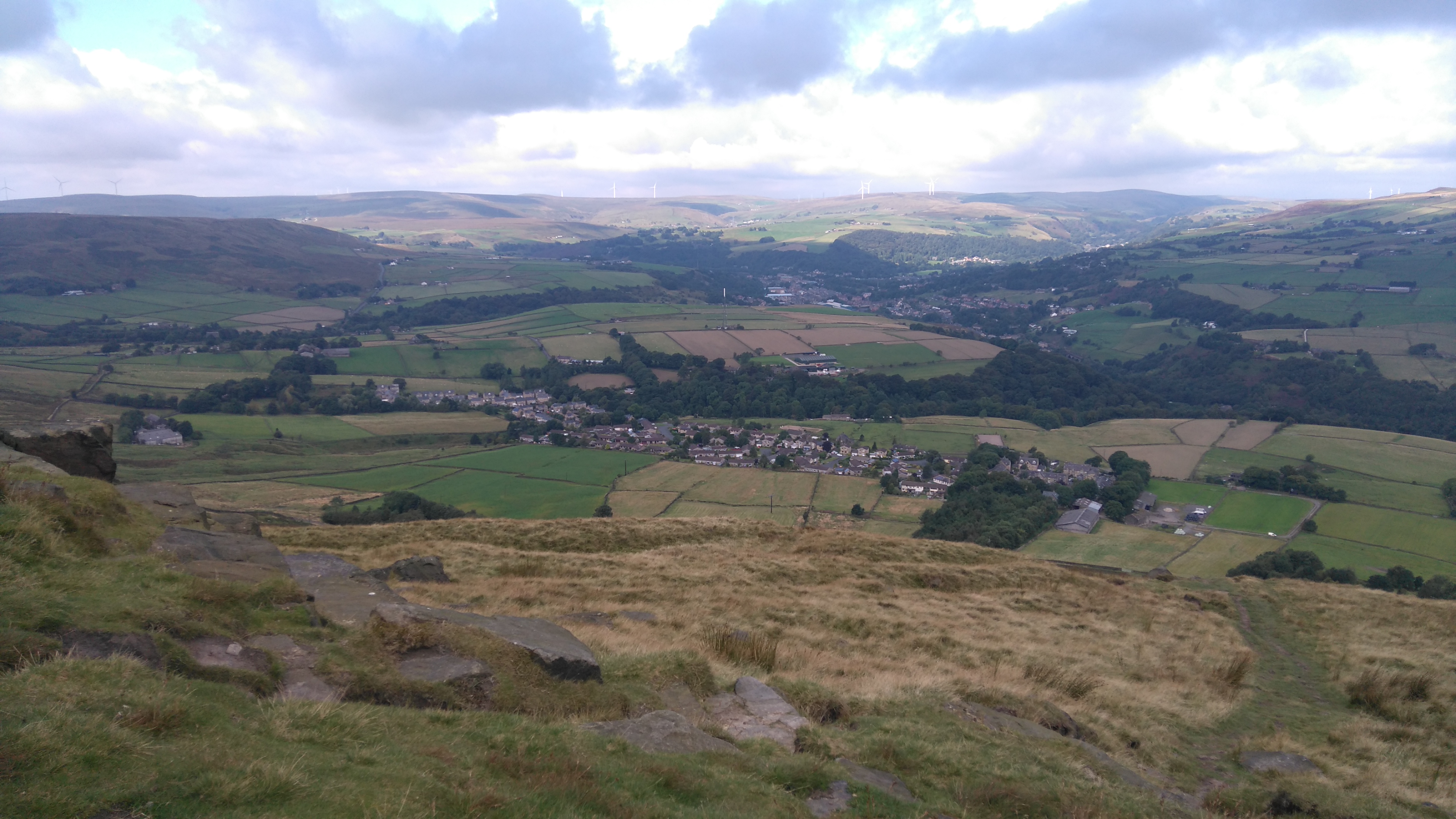
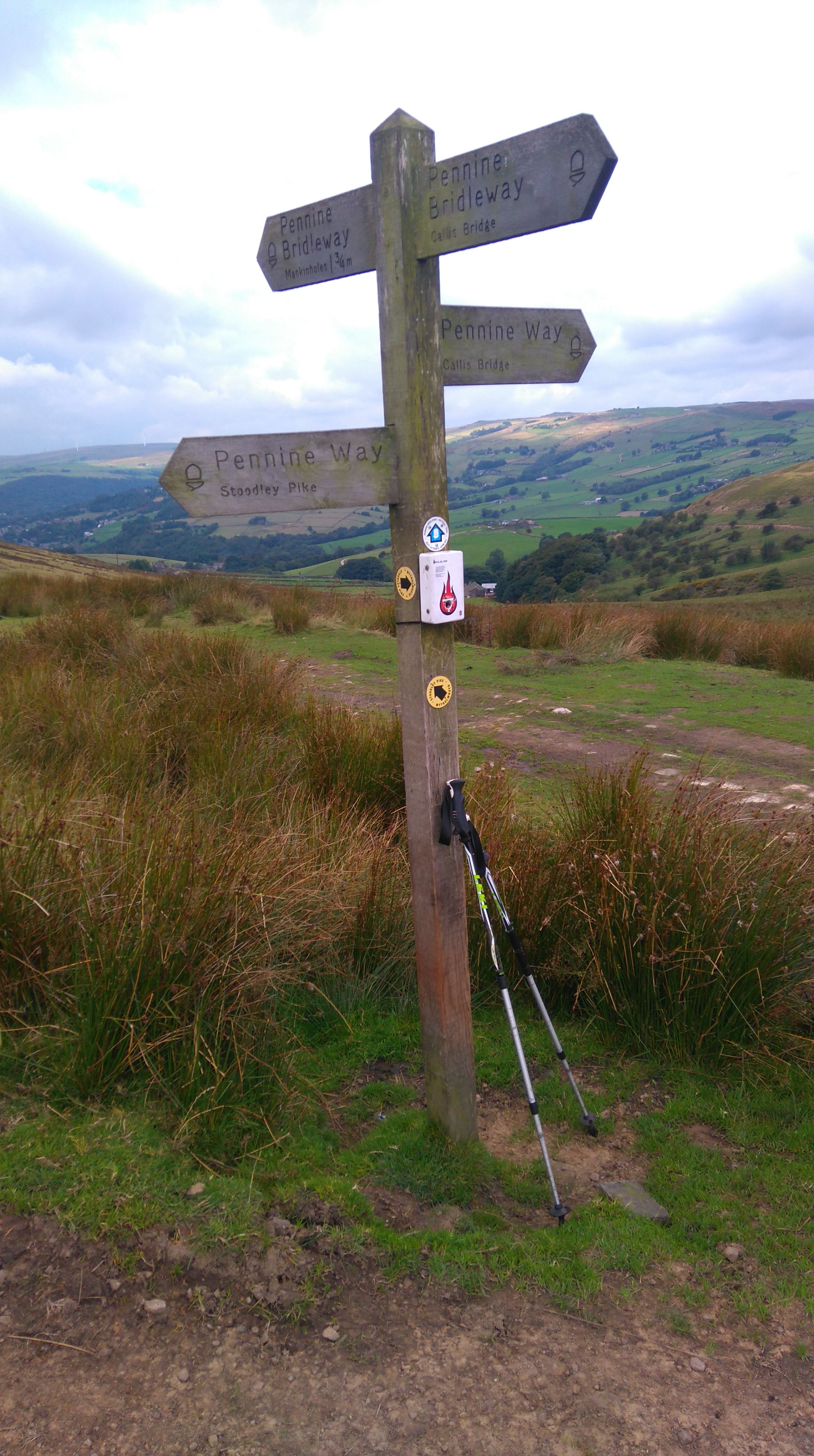
Day four: Standedge to Stoodley Pike 12 miles.
Weather: sunny spells, a little overcast, breezy on top.
A day of pastoral views, a busy motorway, more reservoirs and pylons, and a folly on the hill.
Highs:
- A decent night sleep
- Fab views from Millstone Edge
- Seeing Stoodley Pike in the distance
- A quiet lunch at Blackstone Edge
- A pleasant detour around Warland Reservoir
- Finding a full bottle of water
- A good camping spot
- A nice sunset
Lows:
- My last hiking day tomorrow
- Roadside rubbish (A672)
- Sore Feet
- Not much (decent) water about
- No food at the pub
- Snacks for dinner
 |
PW1 day 4
|
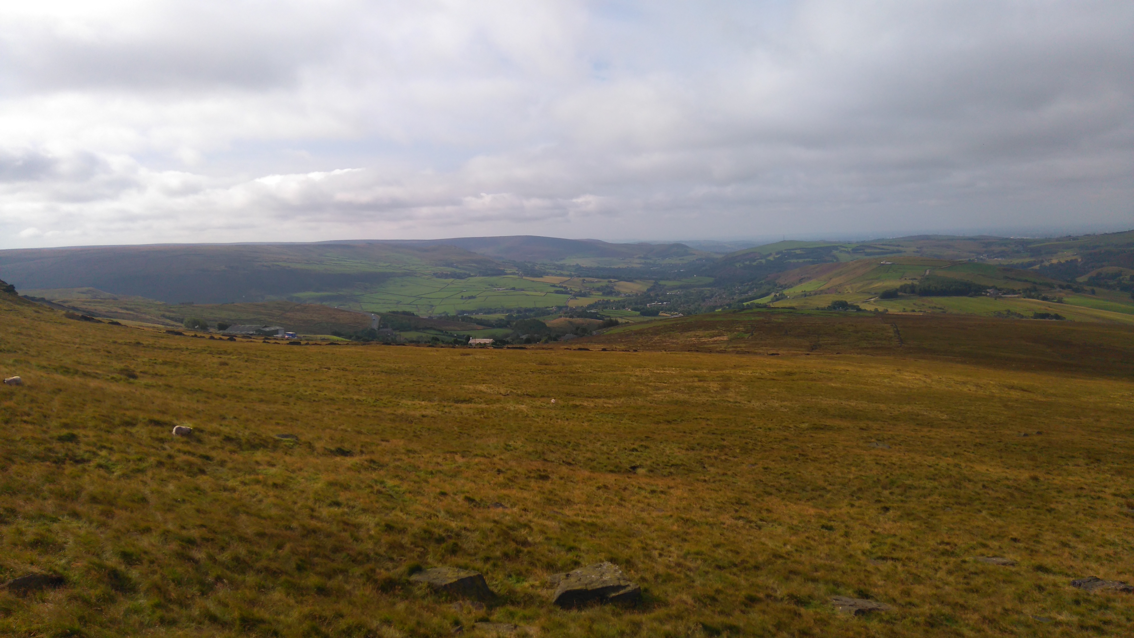
Diary day four:
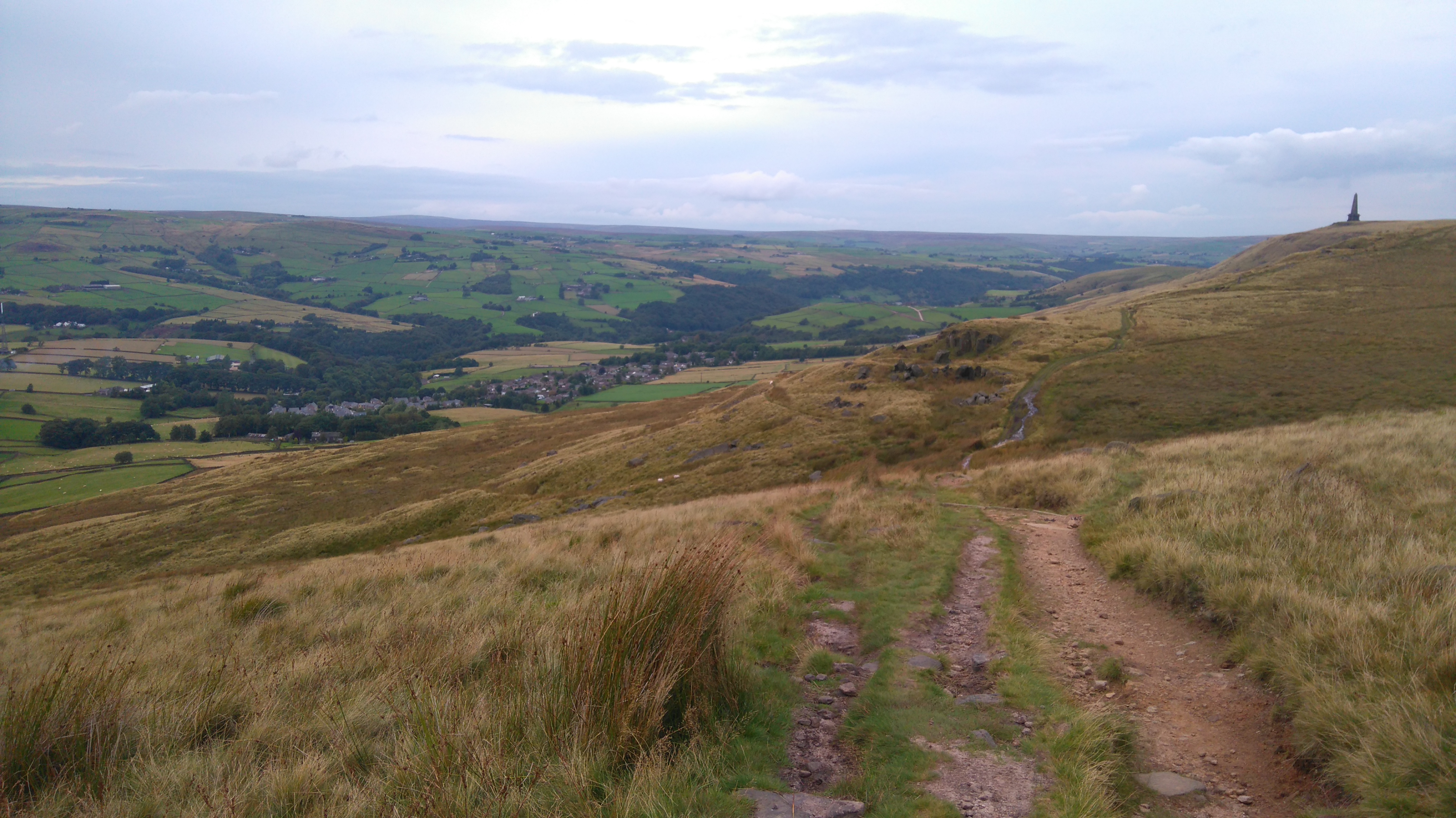
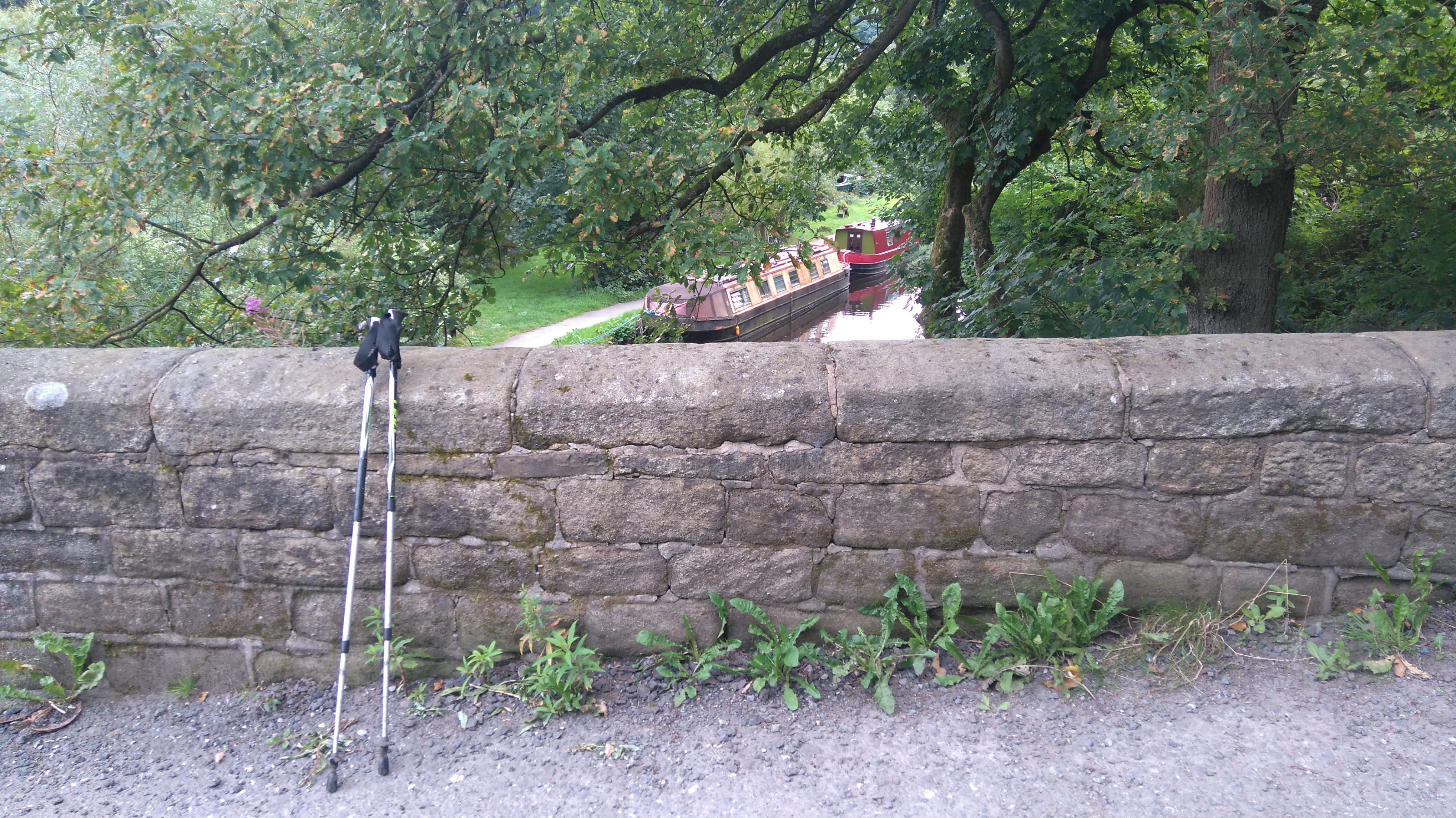
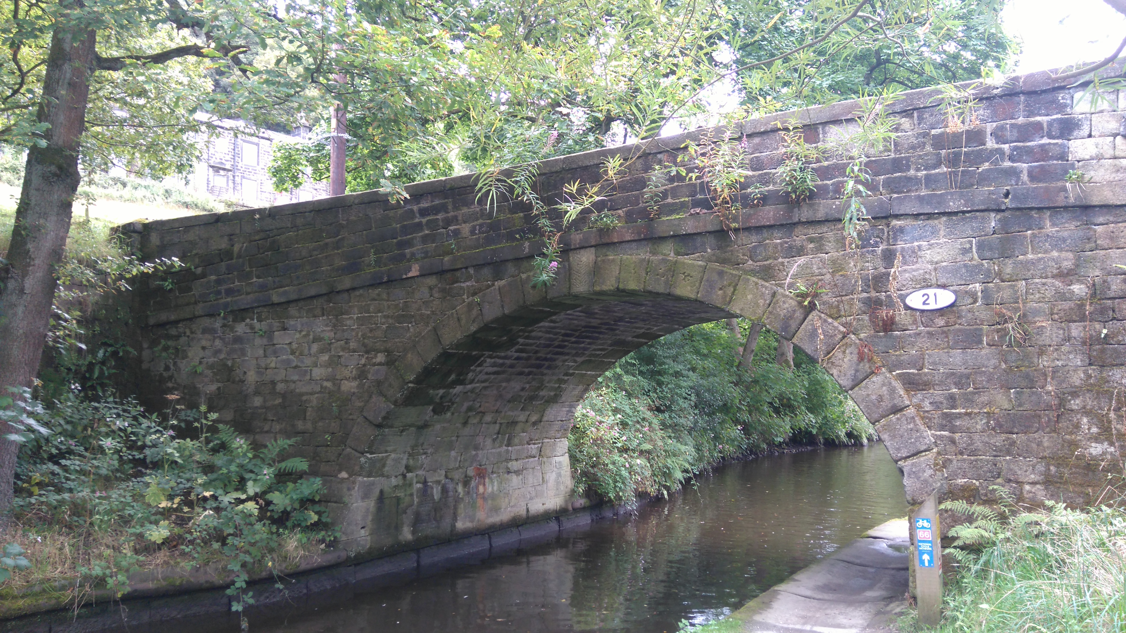
Day five: Stoodley Pike to Hebden Bridge 5 miles.
Weather: a few low clouds skimming the tops in the morning, sunny and warm.
A day of nice views, pleasant woods, narrow boats, a big lunch and a long train journey home.
Highs:
- Breakfast with great views
- A lighter pack (all food gone)
- A pleasant walk to Hebden Bridge
- Meeting nice people on route:
"Where have you come from?"
"How far have you walked?"
"You're doing amazing, enjoy your trip"
- Good food in Hebden Bridge
- A nap in the park
- Comfortable train journey home
- Going home to my family
- Big sense of achievement
Lows:
- Sore feet, one blister
- Tired
 |
| PW1 day 5 |
Diary day five:
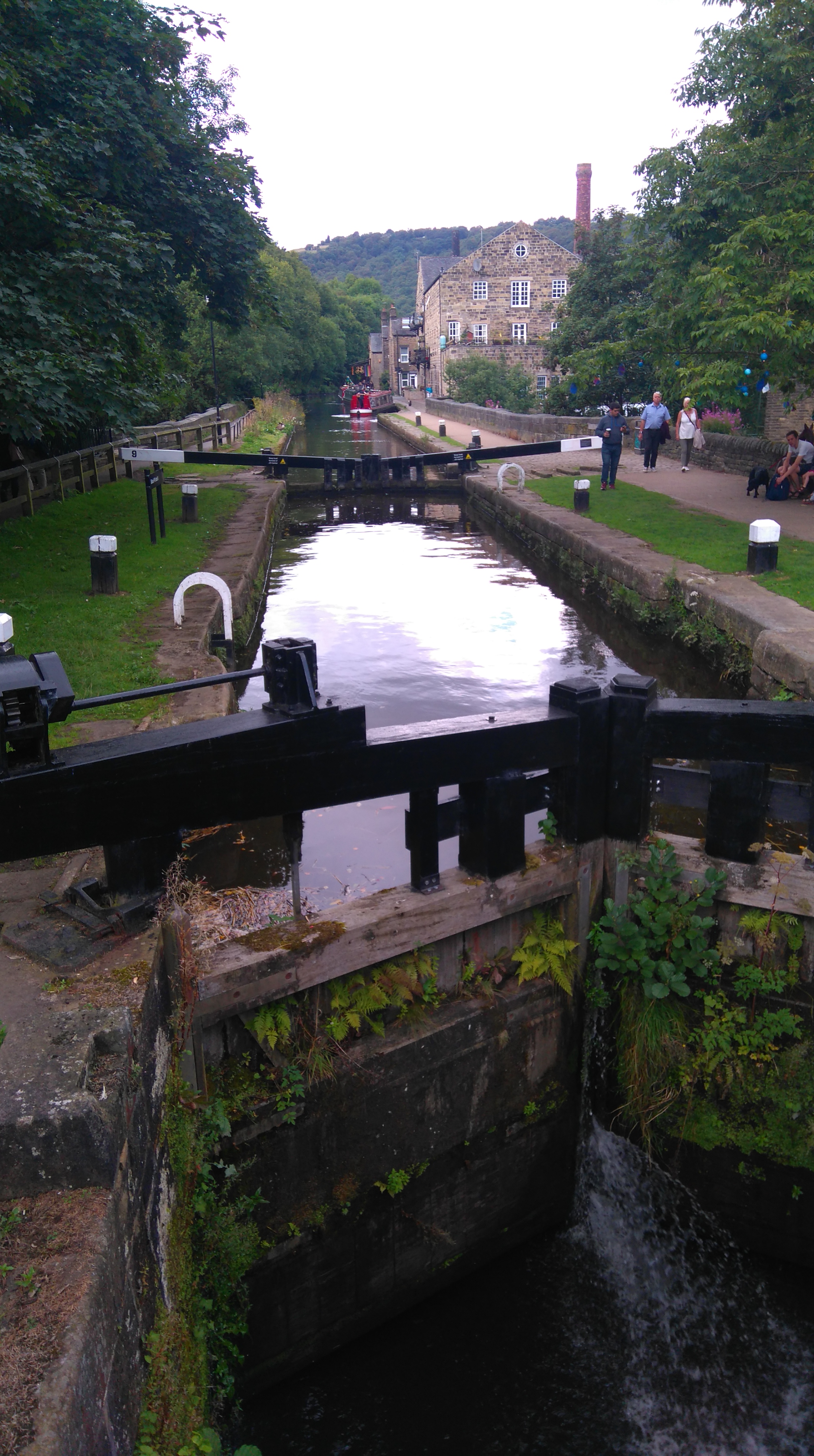
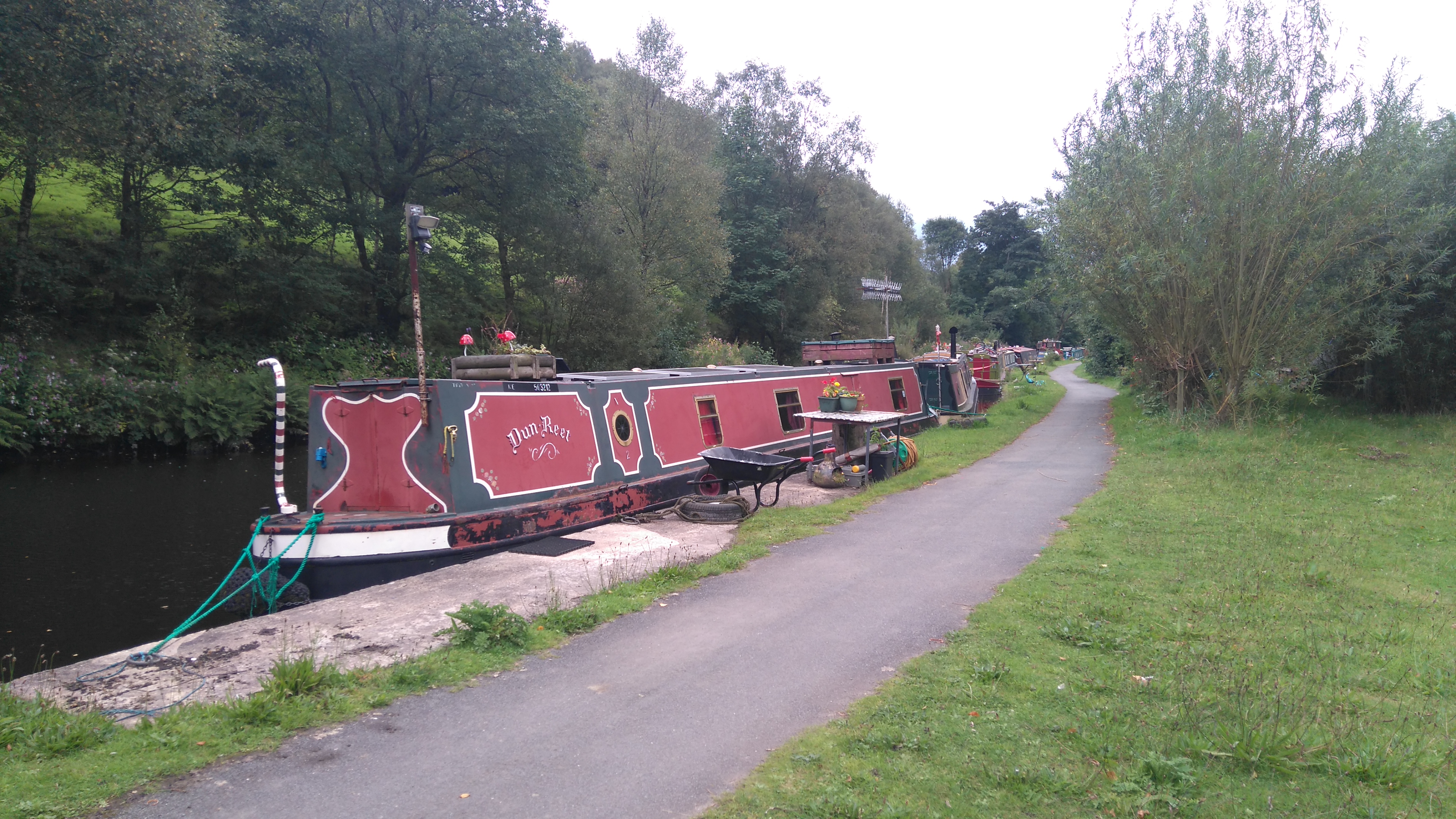
A pleasant walk downhill, through farmland and Callis Wood, took me to the canal-bridge near Hebden Bridge. I followed the tow-path to the busy little town, where I had a big lunch and a nap in the park, before boarding the train back to my home town in Worcestershire.
Thank you for reading! 😊
Taz, August 2017
➖➖➖➖➖➖➖➖➖➖➖➖➖➖➖➖➖➖➖➖➖➖➖➖➖➖➖➖
Gear list:
- Rucksack: Granite Gear Vapor Trail 60L inc flash pocket
- Tent: Hexpeak 4 with inner
- Thermarest pro-lite women's pro mat
- Thermarest z-lite mat
- Snugpak Tactical 2 sleeping bag
- Waterproofs: Rab Vidda jacket, Montane Atomic trousers
- Clothes (in the bag): spare underwear, 2 spare base-layer tops, two pairs of leggings, one pair of shorts, two pairs of socks, thin gloves, lightweight insulated jacket
- Cooker: Alpkit Jackall Brukit, bowl & spork, knife
- Food for 4/5 days: one chicken curry, tuna sachets, wraps, muesli, milk chocolate, snickers, hot chocolate, coffee whitener
- Compass, gps, map, reading glasses
- Mobile phone, battery pack, leads, plug
- Ditty bag for toiletries, first aid, batteries etc
- Pee bottle
- Plastic to sit on and keep the mat dry
- Leki walking poles.
One pair of thermal leggings, buff and empty batteries were left at a campsite.
PS: I wrote the PW1 and 2 diaries 4 years later, after completing the whole PW. I tried to recall the trip from memory and by looking at pics and maps. I wrote it quite fast, as that seems to work best, and tried to keep it short. It definitely isn't my best writing, but I thought it deserved more than a collection of poor quality phone pics and a few sentences.
.JPG)


.JPG)
.JPG)
.JPG)
A great read, it's sown the seeds of a plan for me to re-do the PW in 2021.
ReplyDelete