Pennine Way Trip 2
October 2017
Hebden Bridge to Horton in Ribblesdale
50 miles - 5 days - 5 camps - 12 kg
(Pictures taken with my Sony mobile phone)
.JPG)
 |
| PW2 route map and gradient |
Day one: Hebden Bridge to Widdop Reservoir 7 miles.
Hebden Bridge, Colden Clough, May's Emporium, Gorple Reservoir, Widdop Reservoir.
Weather: breezy, some rain, some sun.
Highs:
- Colden Clough (a wooded ravine)
- Lower Gorple and Widdop Reservoirs
- A good camping spot
Lows:
- Damp clothes
- Damp gear
- Very wet underfoot
 |
| PW2 day 1 |
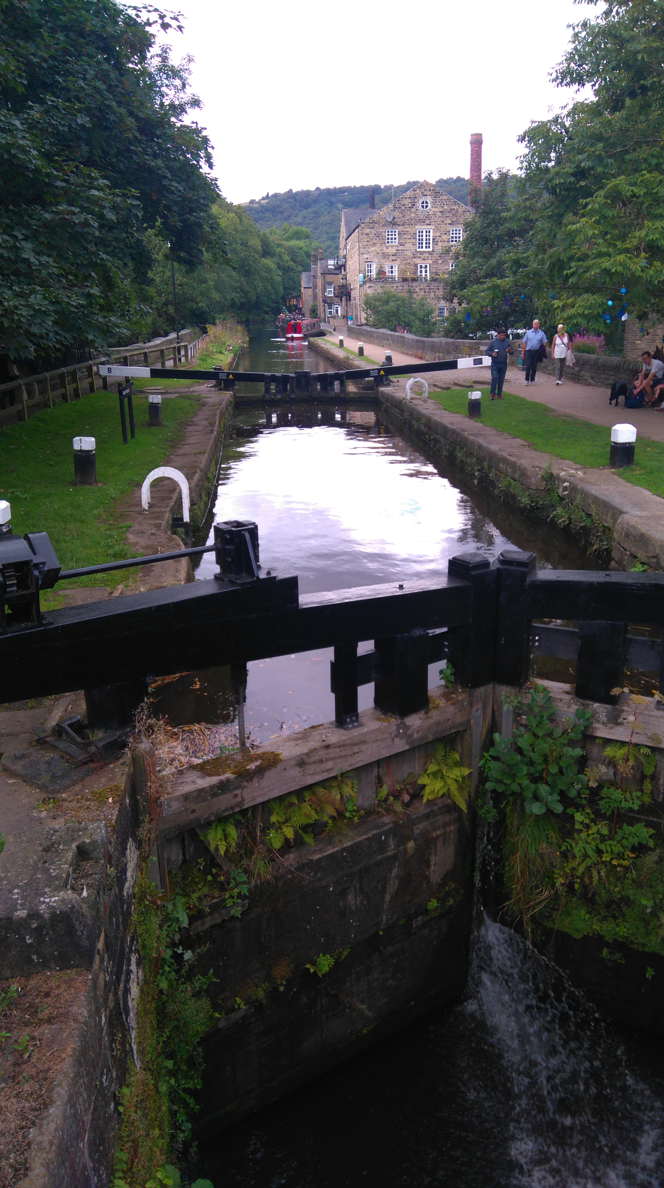
Light rain fell as I got off the train and started walking along the canal. Before re-joining the PW at the bridge, I left the tow-path and made my way up Colden Clough, a wooded ravine well worth a detour.
I hooked up with the PW at the pack-horse bridge at the top of the ravine, then made another (short) detour to May's Emporium, a farm shop selling a variety of things, to buy lunch and a hot drink. The lady serving was surprised to hear I was planning to camp as the weather had turned wet and windy.
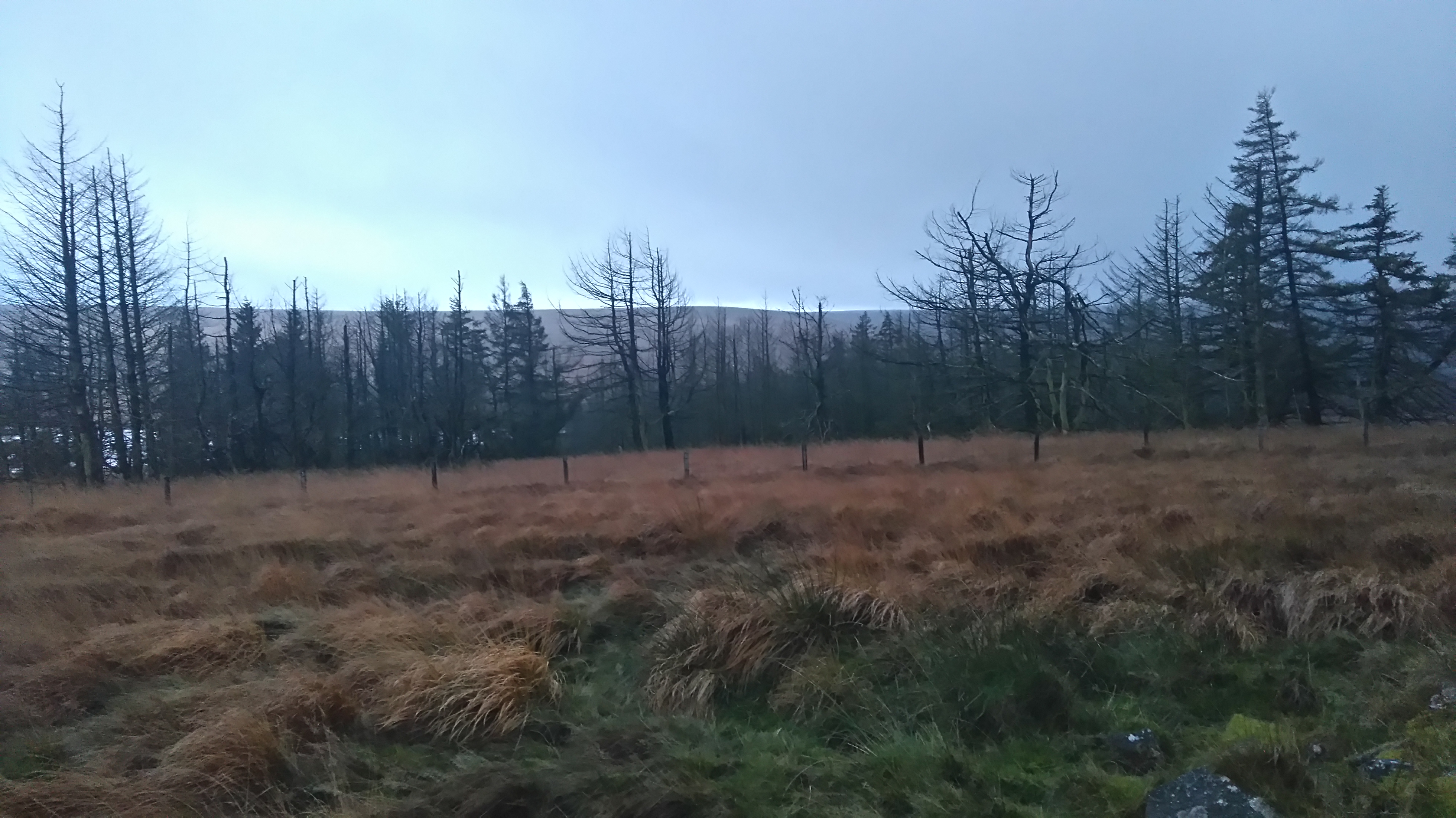
While crossing Heptonstall Moor I chatted to two young enthusiastic hikers enjoying the wild weather. Sunny spells brought out vivid autumnal colours on the moor and created dramatic skies.
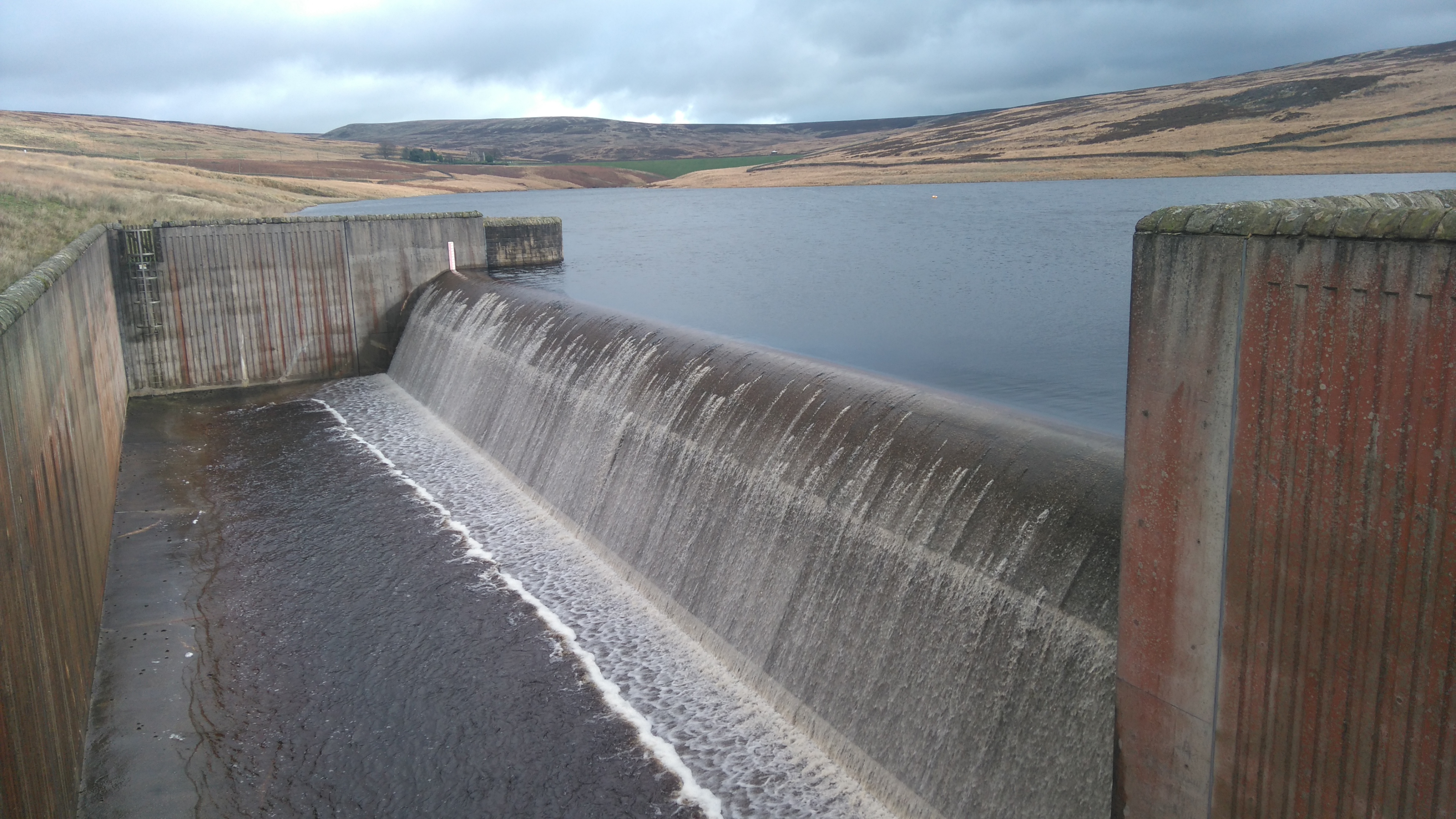
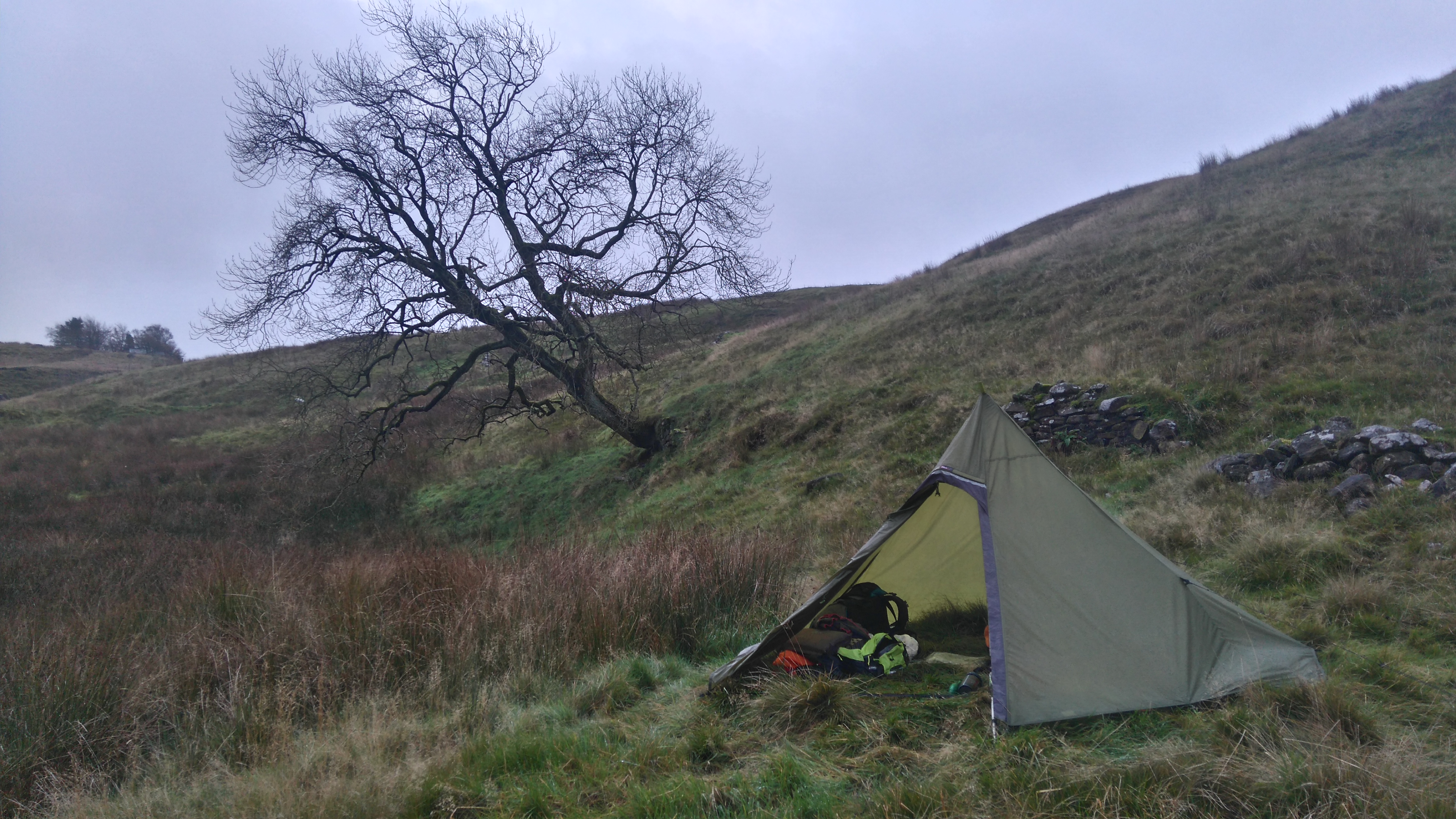
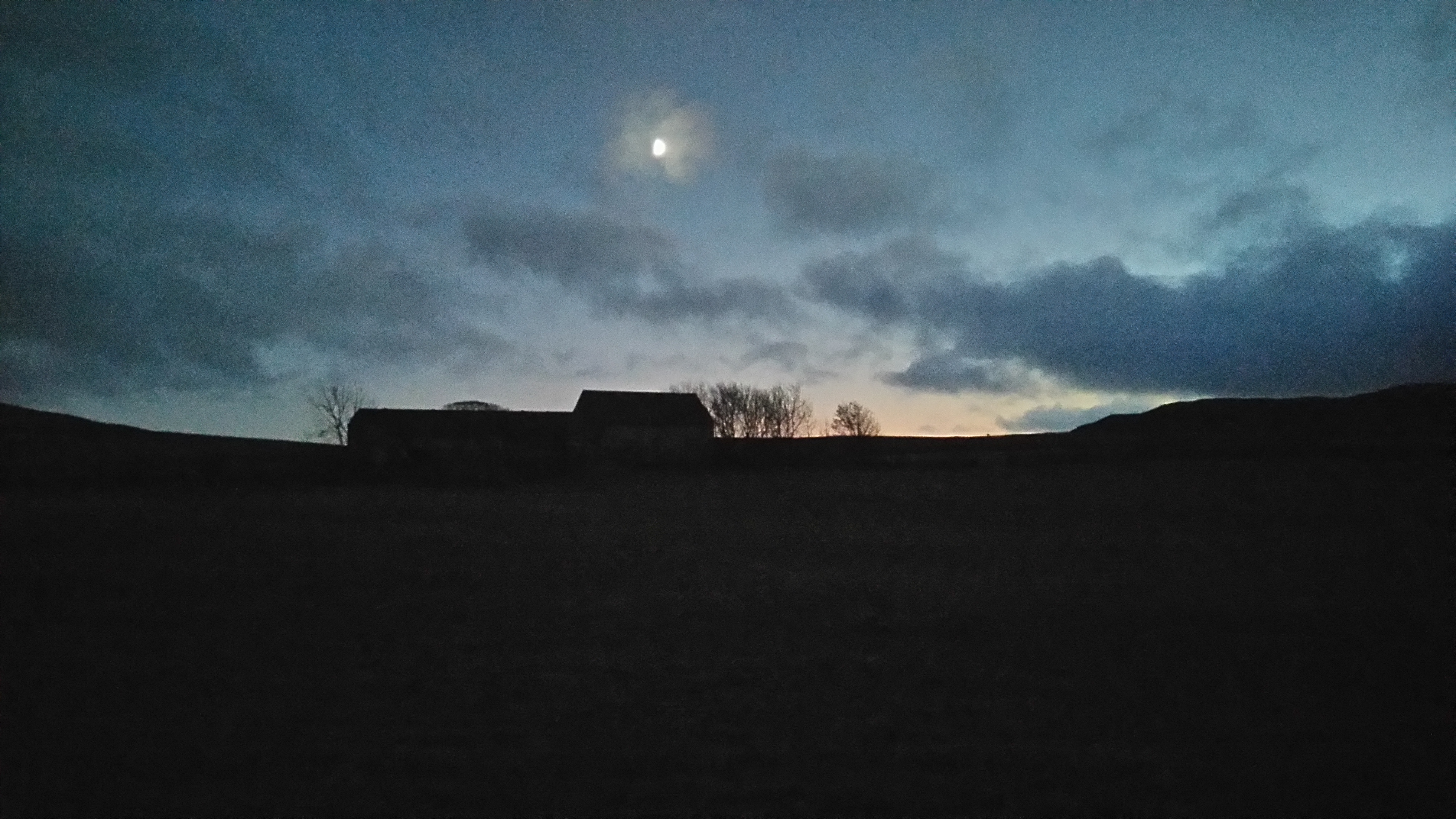
The wind whipped up the water on Gorple Reservoir and persistent drizzle soaked through my thin showerproof jacket. I crossed some very wet moorland to Widdop Reservoir, and passed a small woodland which looked unsuitable to camp in.
At Widdop I found a grassy spot to pitch my tent, next to some large boulders and another small woodland which gave some shelter from the wind. There were fantastic views over the reservoir and of the surrounding hills, and plenty of fresh water for cooking and washing.
 |
| Hebden Bridge |
 |
| Colden Water |
 |
| Colden Water |
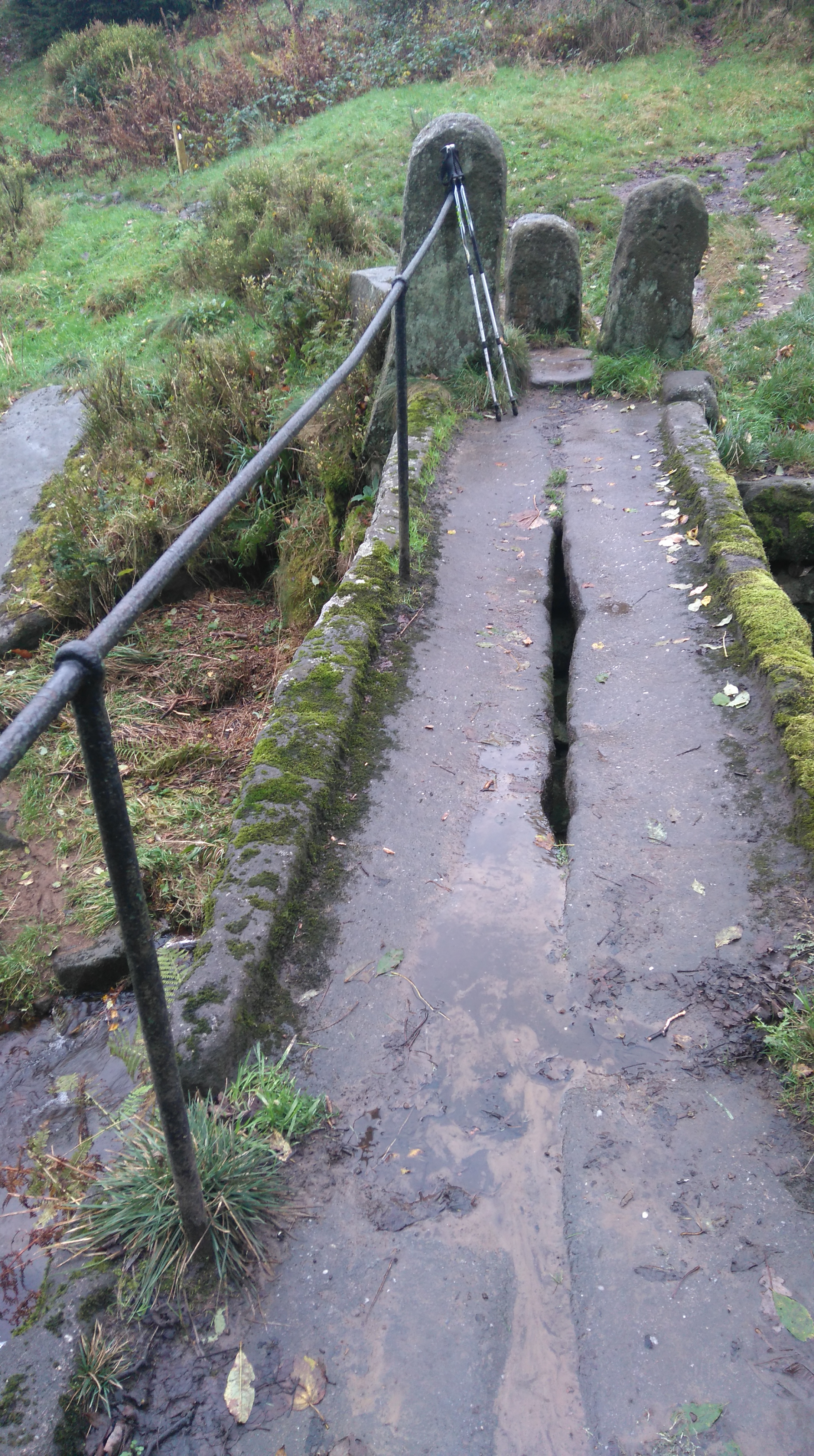 |
| A pack-horse Bridge |
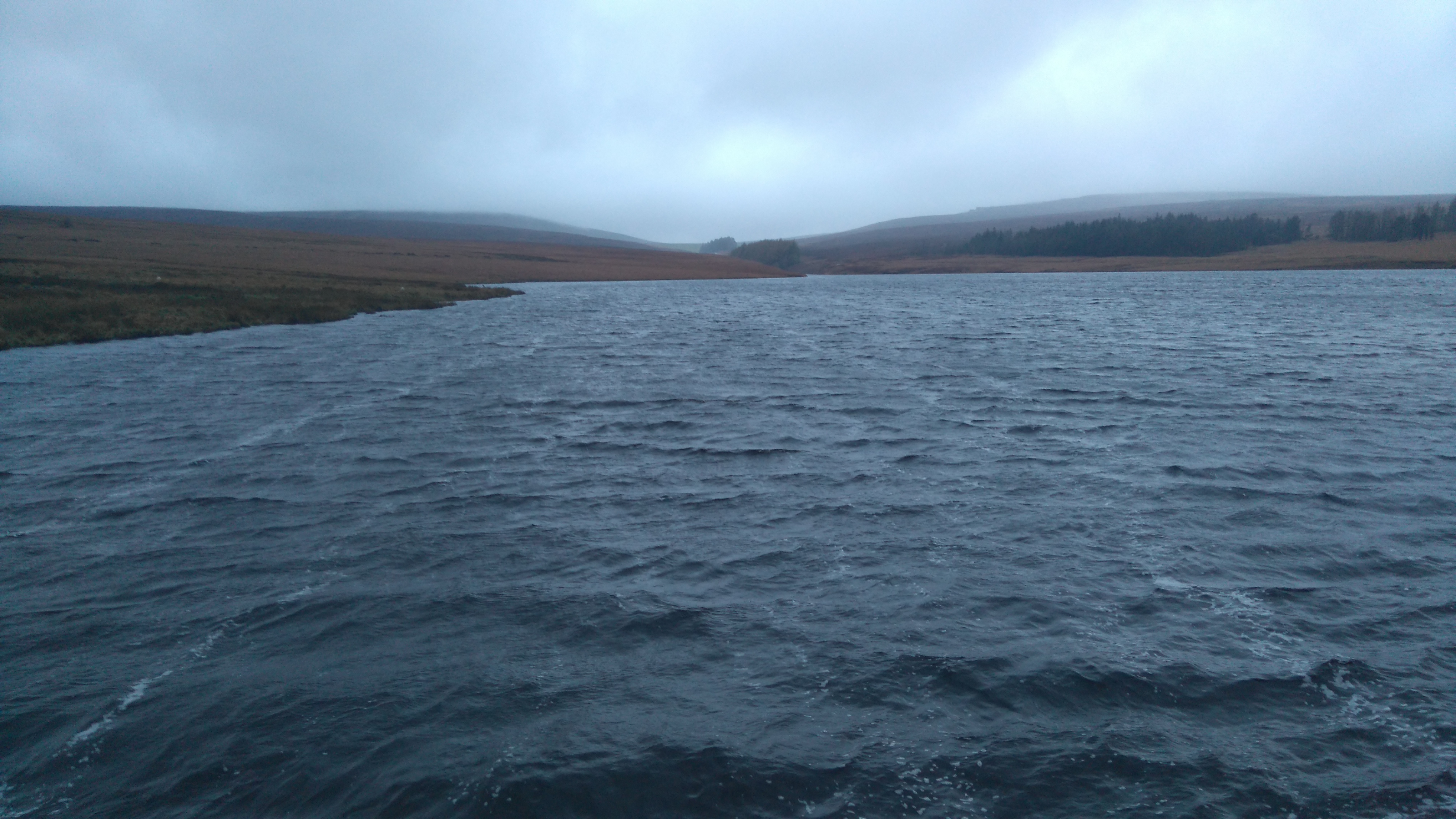 |
| Lower Gorple Reservoir (wild n windy) |
 |
| Lower Gorple Reservoir |
 |
| Lower Gorple Reservoir |
 |
| Creepy woods |
Day two: Widdop Reservoir to Dean Hole near Ickornshaw 10 miles.
Weather: Breezy, sunny spells, cool.
Highs:
- Great views across 'wild' country
- Watching a sheepdog herding sheep
- Friendly walkers stopping for a chat
- A good camping spot
Lows:
- Very wet underfoot
 |
| PW2 day 2 |
The day started dry and breezy. I put my damp clothes on the rocks to dry while having breakfast and sorting my gear.
A little later I followed the service road to Widdop Dam, re-joined the PW at the Walshaw Dean Reservoir(s), then across Watsworth Moor to Withins Top.
The now ruined farm-house at Withins top is famous for its association with 'Wuthering Heights' a well-known book and film.
After a short break at Withins, I headed to Delf Hill trig-point, then down to Ponden Reservoir via Ponden Clough, avoiding all the tourists walking up from Haworth.
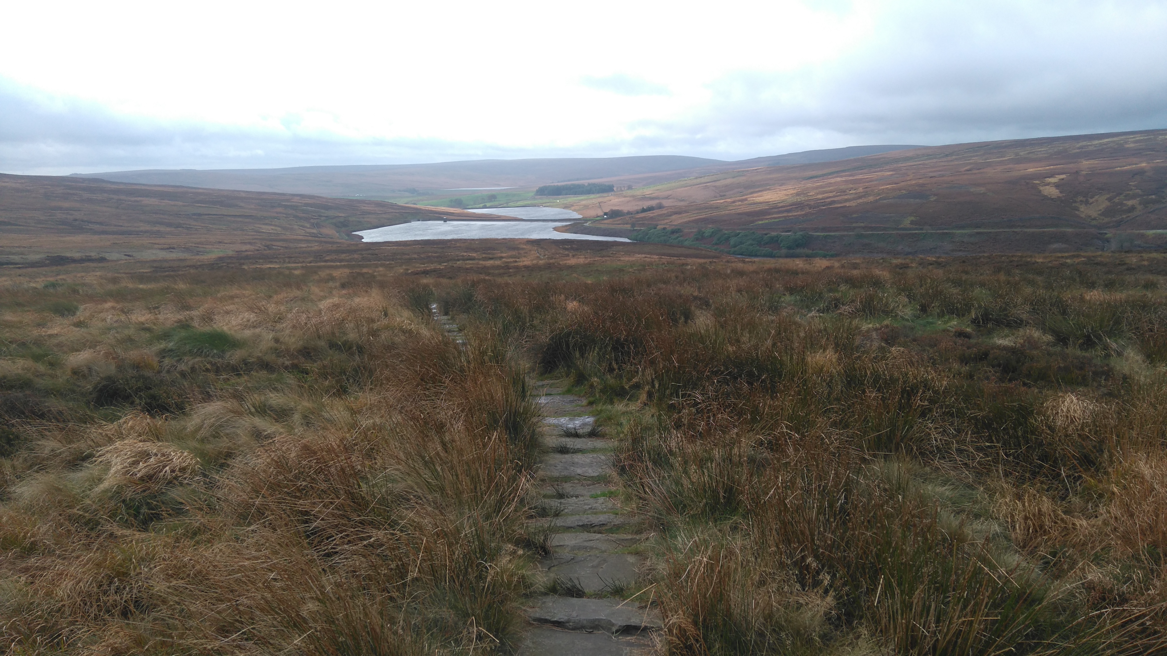
From Ponden, a steep climb took me to Ickornshaw Moor. Four miles of wet moorland followed before reaching some shooting cabins at the northern edge. Below the cabins I found a flat area with a stream nearby to pitch my tent, with a view of Ickornshaw and Cowling below.
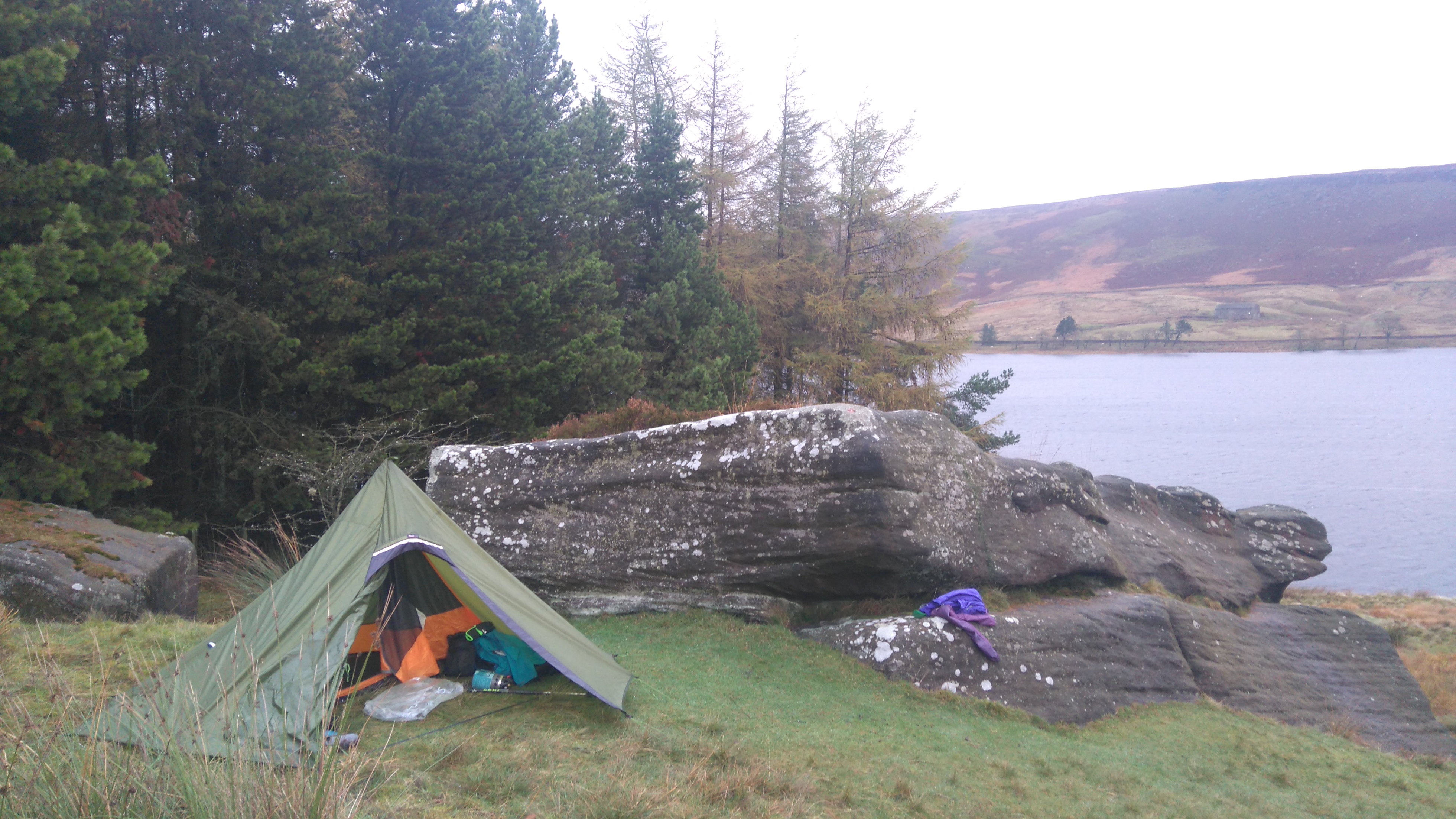 |
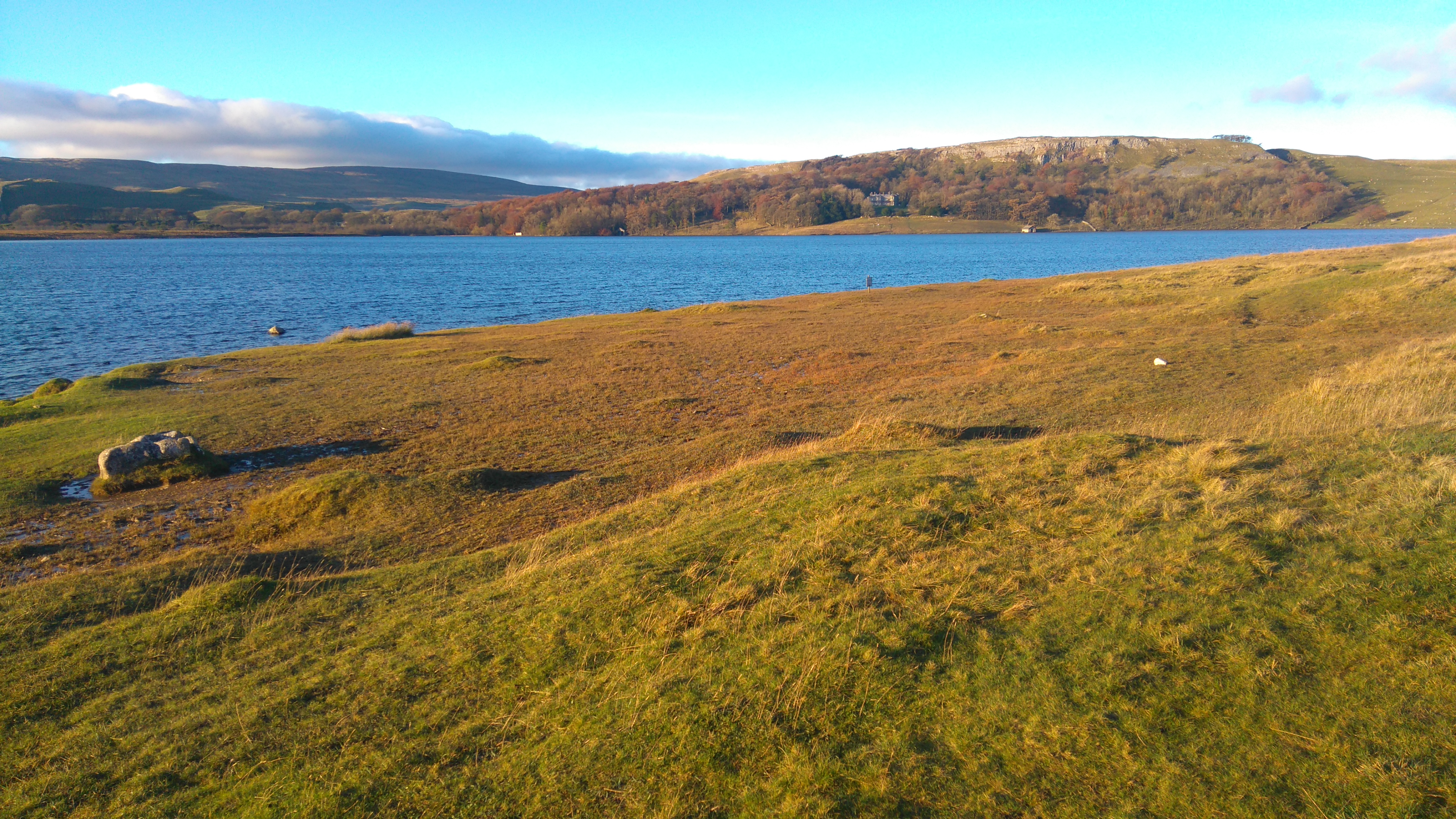
| My camp at Widdop Reservoir |
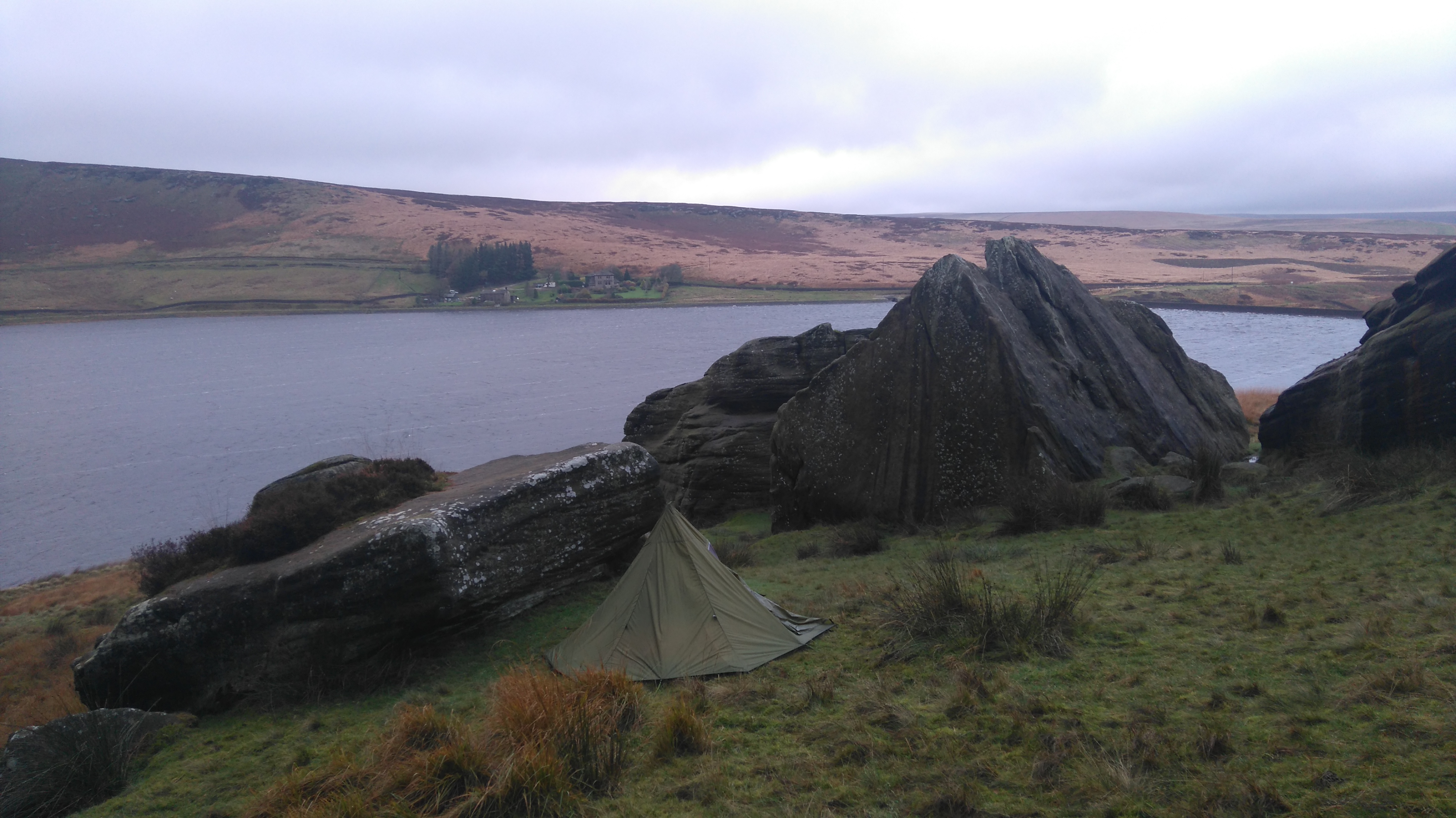 |
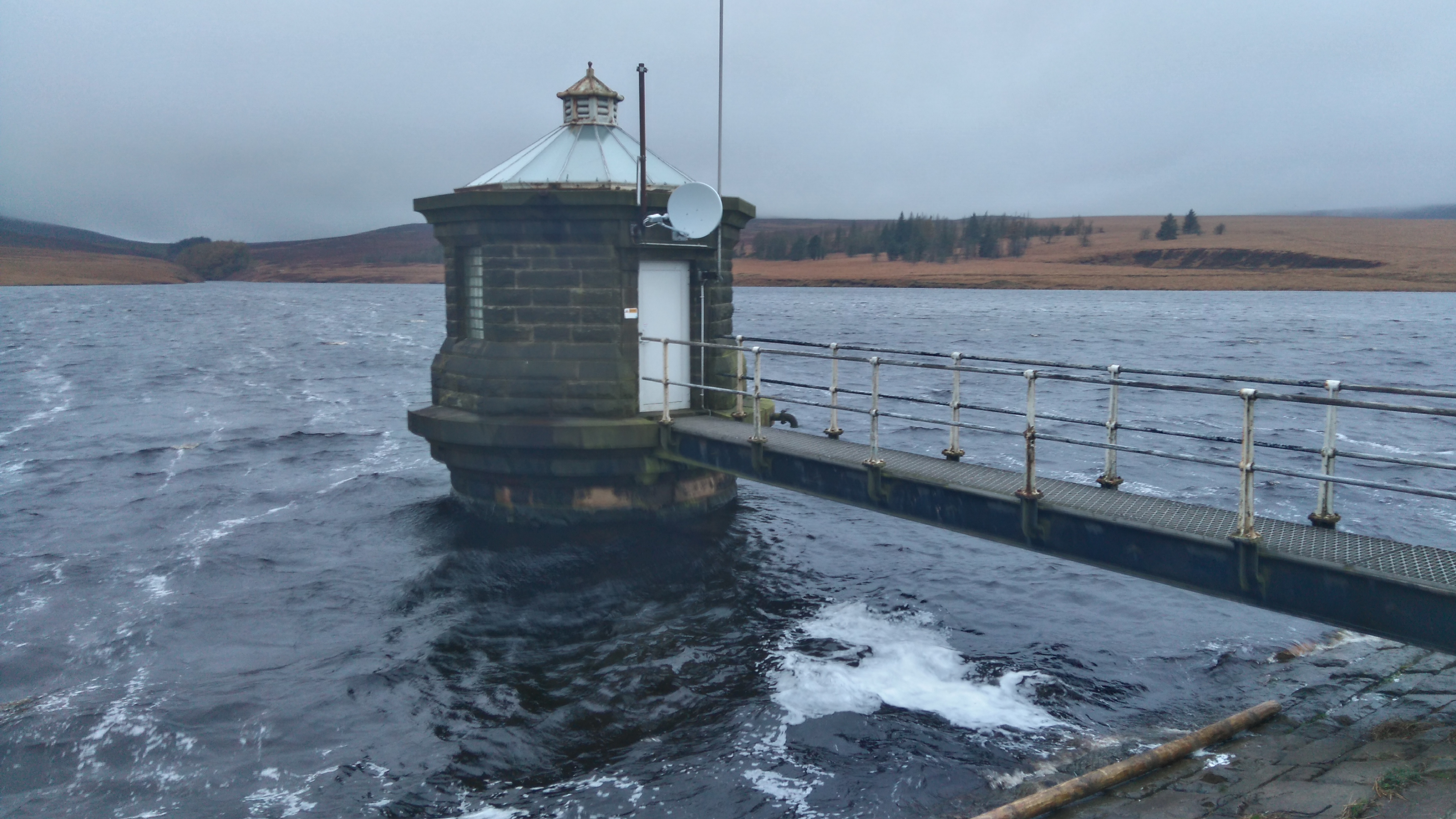
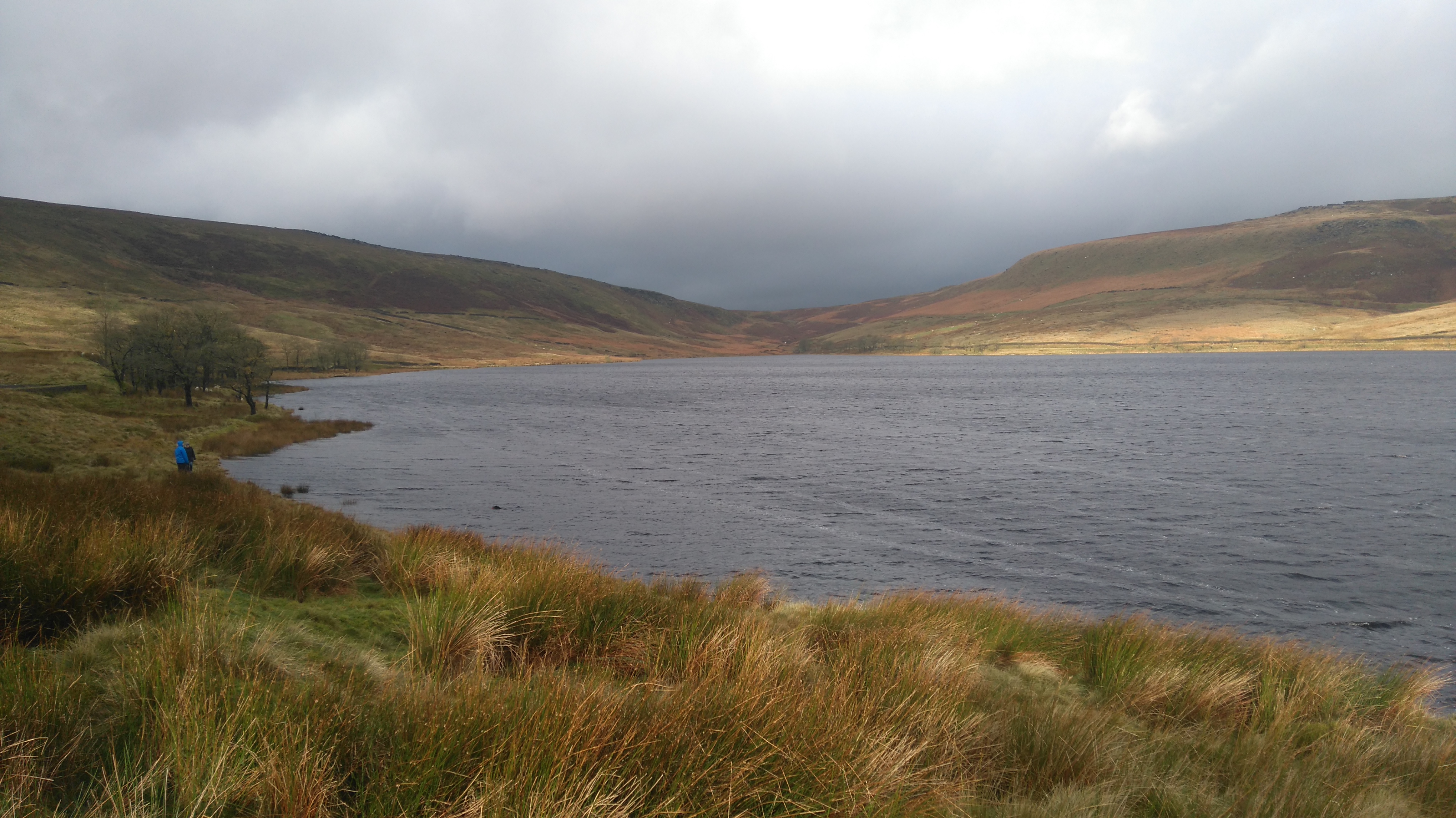
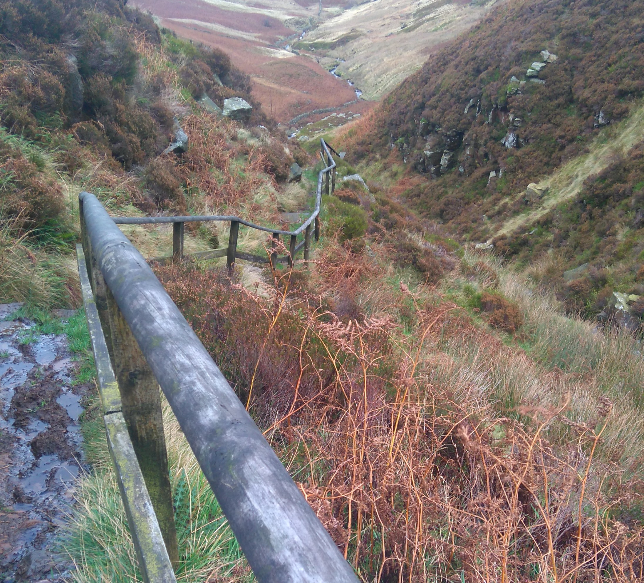
| Widdop Reservoir (the Cludders Slack rocks) |
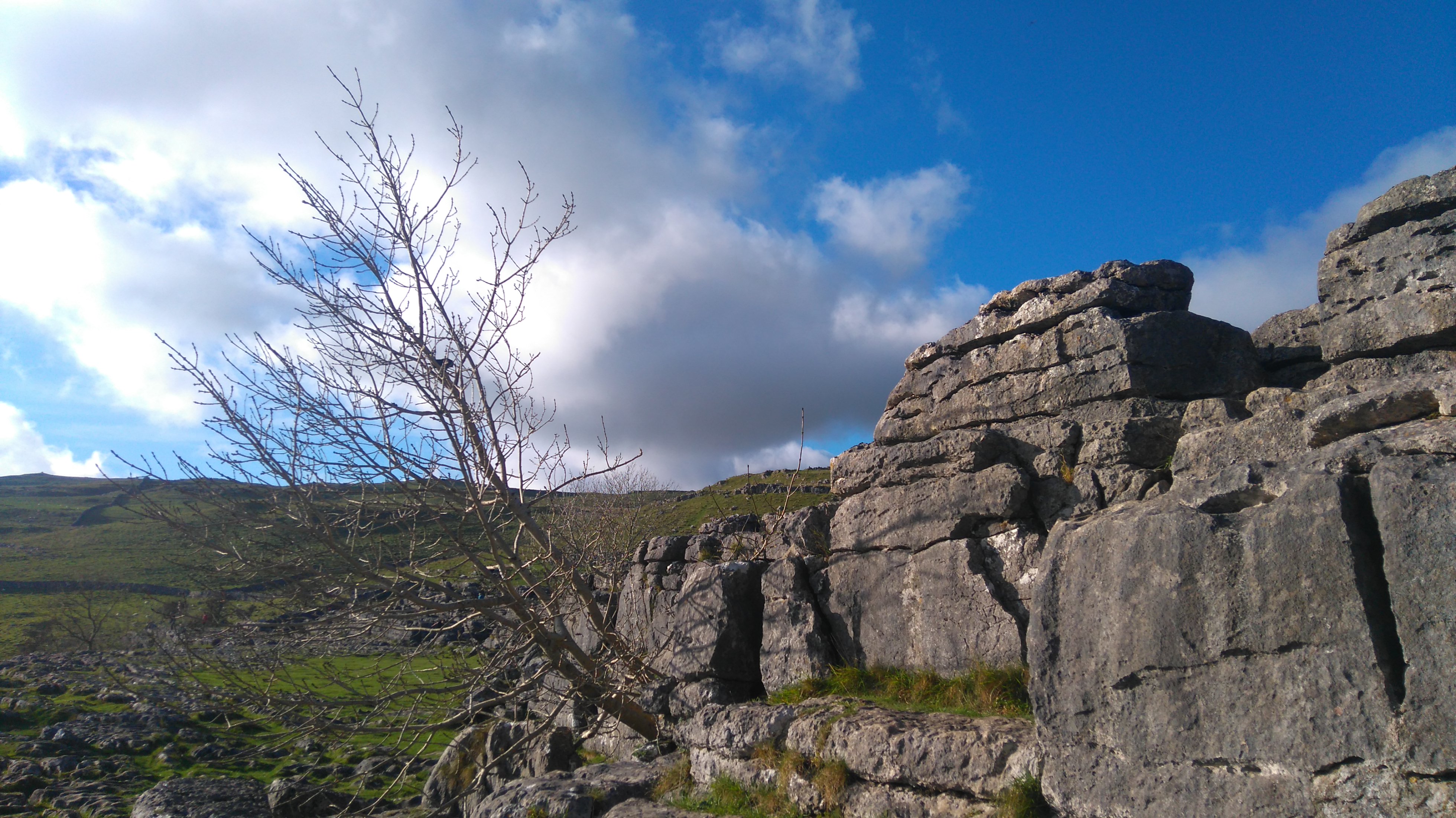
There are more boulders higher up, some precariously balanced on top of others. Across the water are Widdop Lodge and Higher Houses, a fairly remote place to live.
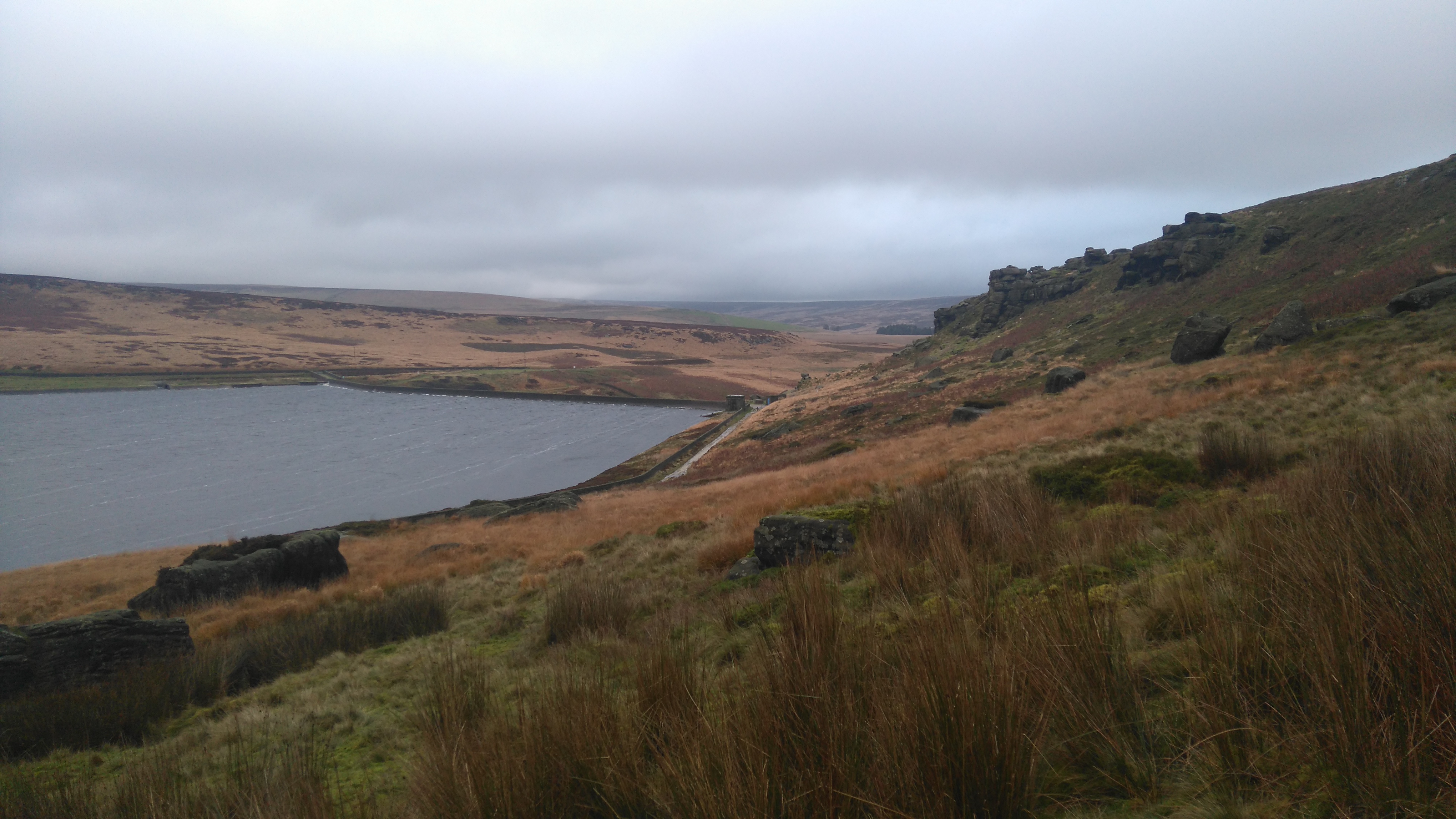 |
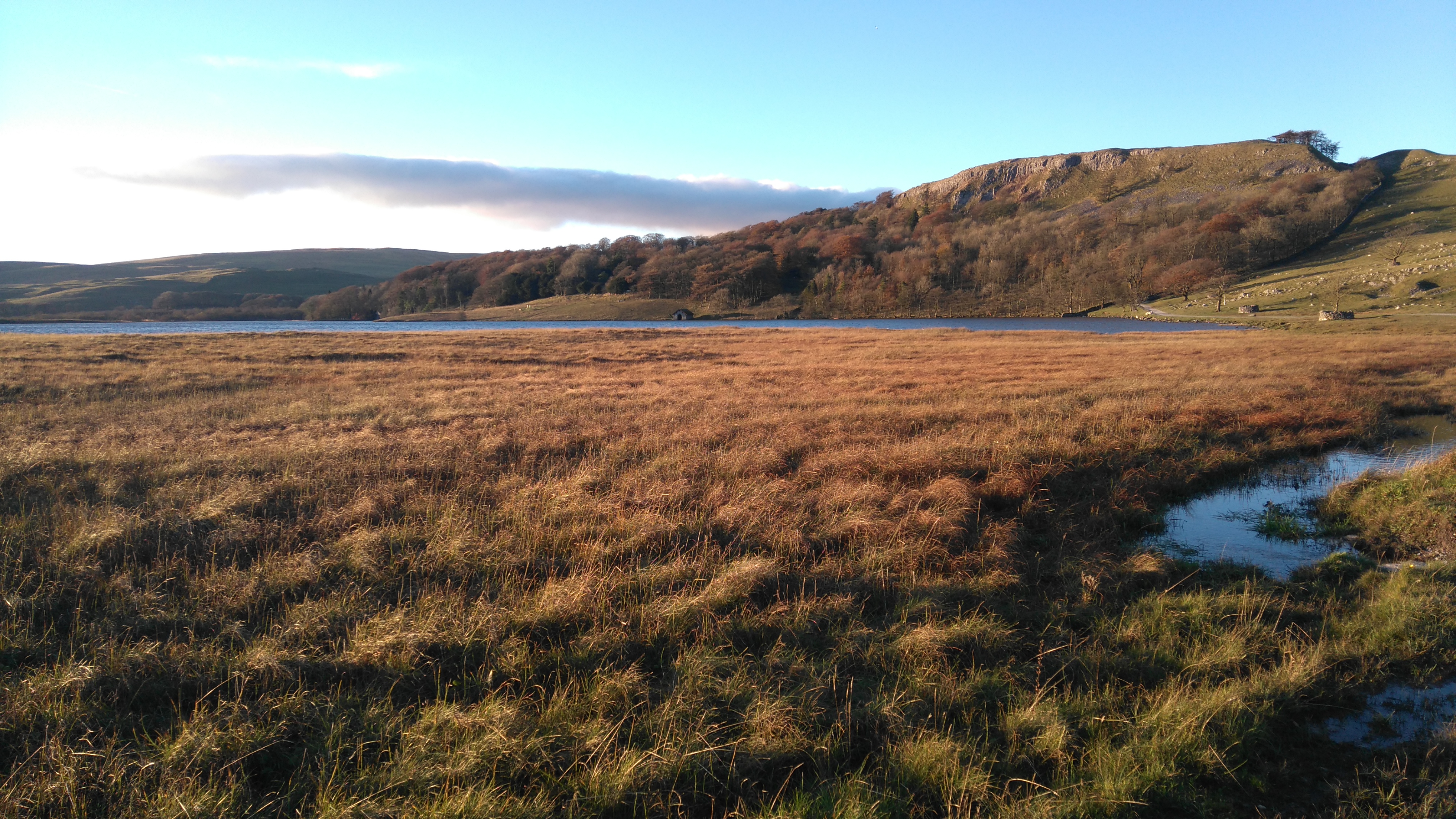
| Widdop Reservoir (looking east) |
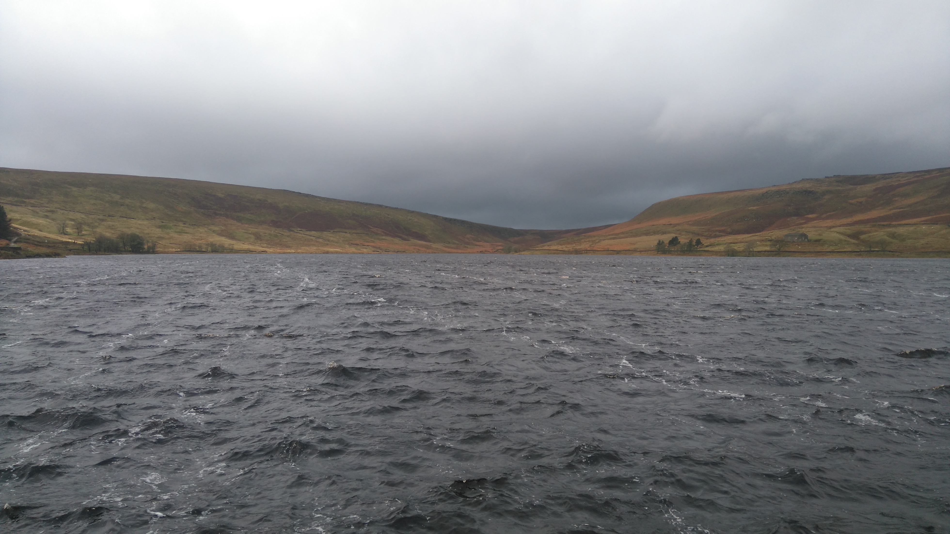
 |
| Widdop Reservoir (looking west) |
There was a crazy Labrador in the water chasing a ball.
 |
| Windy Widdop |
 |
| The Heptonstall Moors |
 |
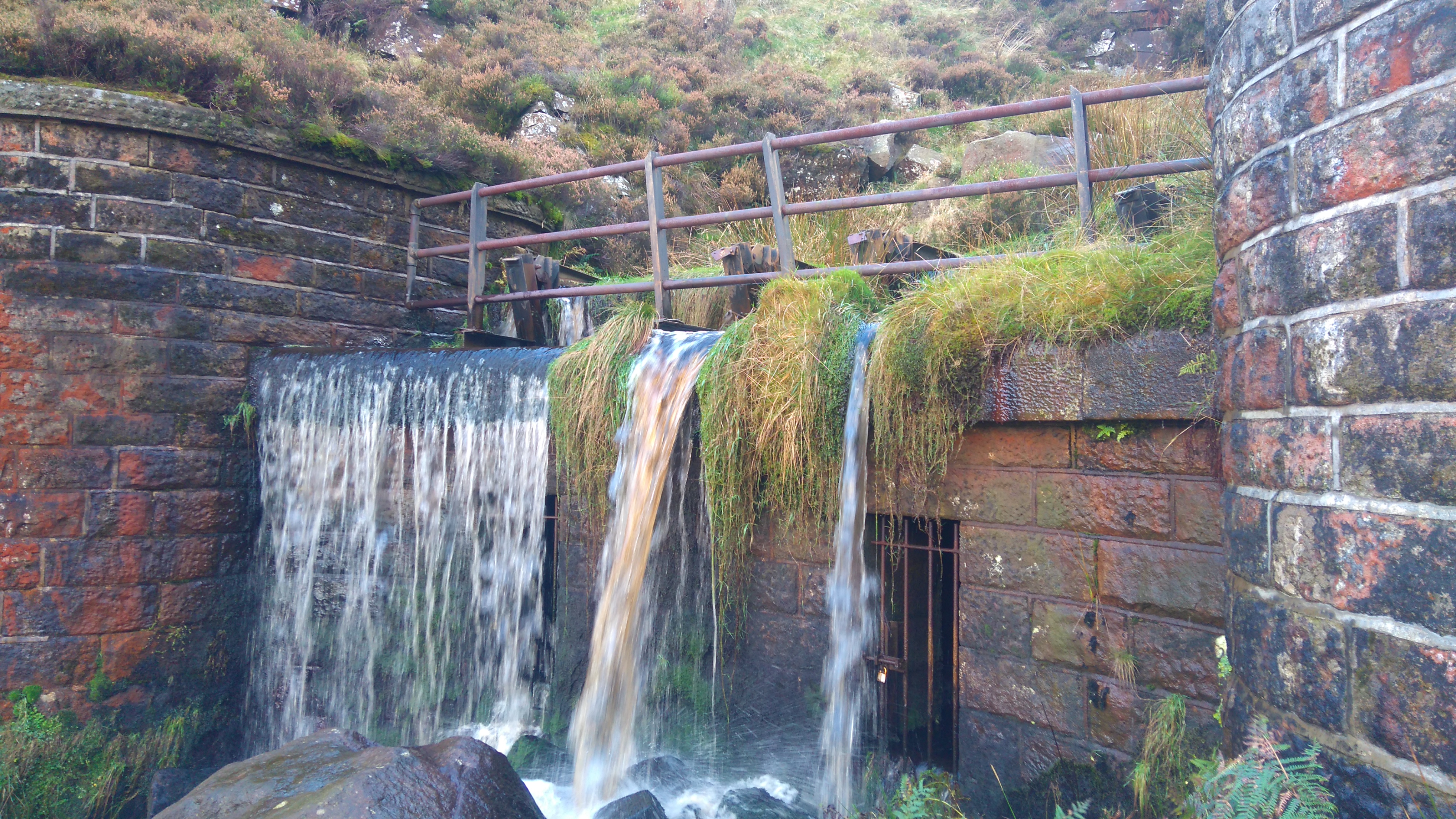
| The Walshaw Dean Reservoirs |
 |
| The Walshaw Dean Reservoirs |
Man-made intrusions: reservoirs, moorland, farmland, all created or managed by human hands, taming the wild lands.
 |
| Wadsworth Moor |
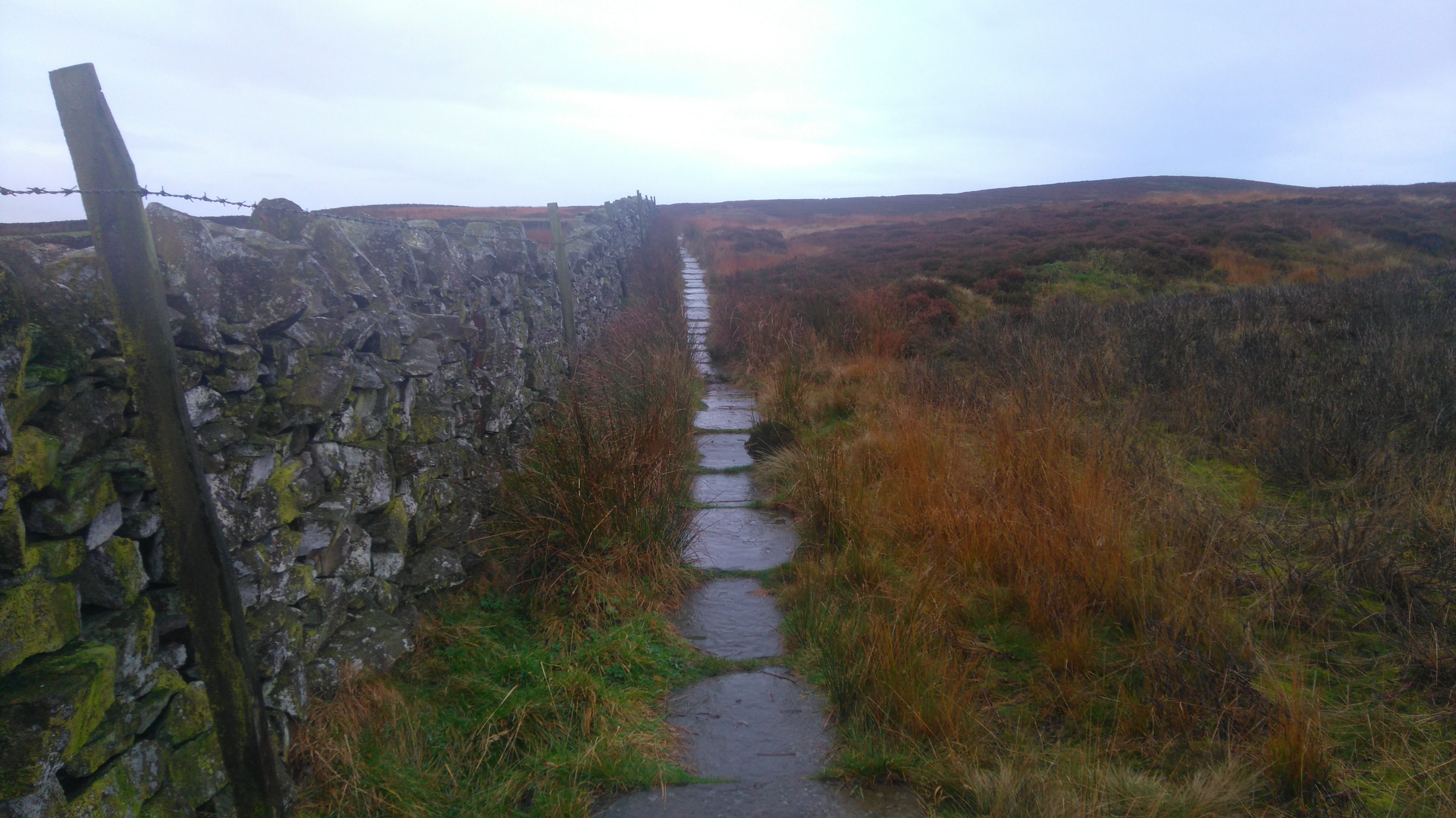
Wadsworth Moor; other walkers told me the path used to be dire before some of it was paved.
 |
| Wadsworth Moor |
 |
| Withins Top |
 |
| Ponden Clough |
 |
| Ponden Clough |
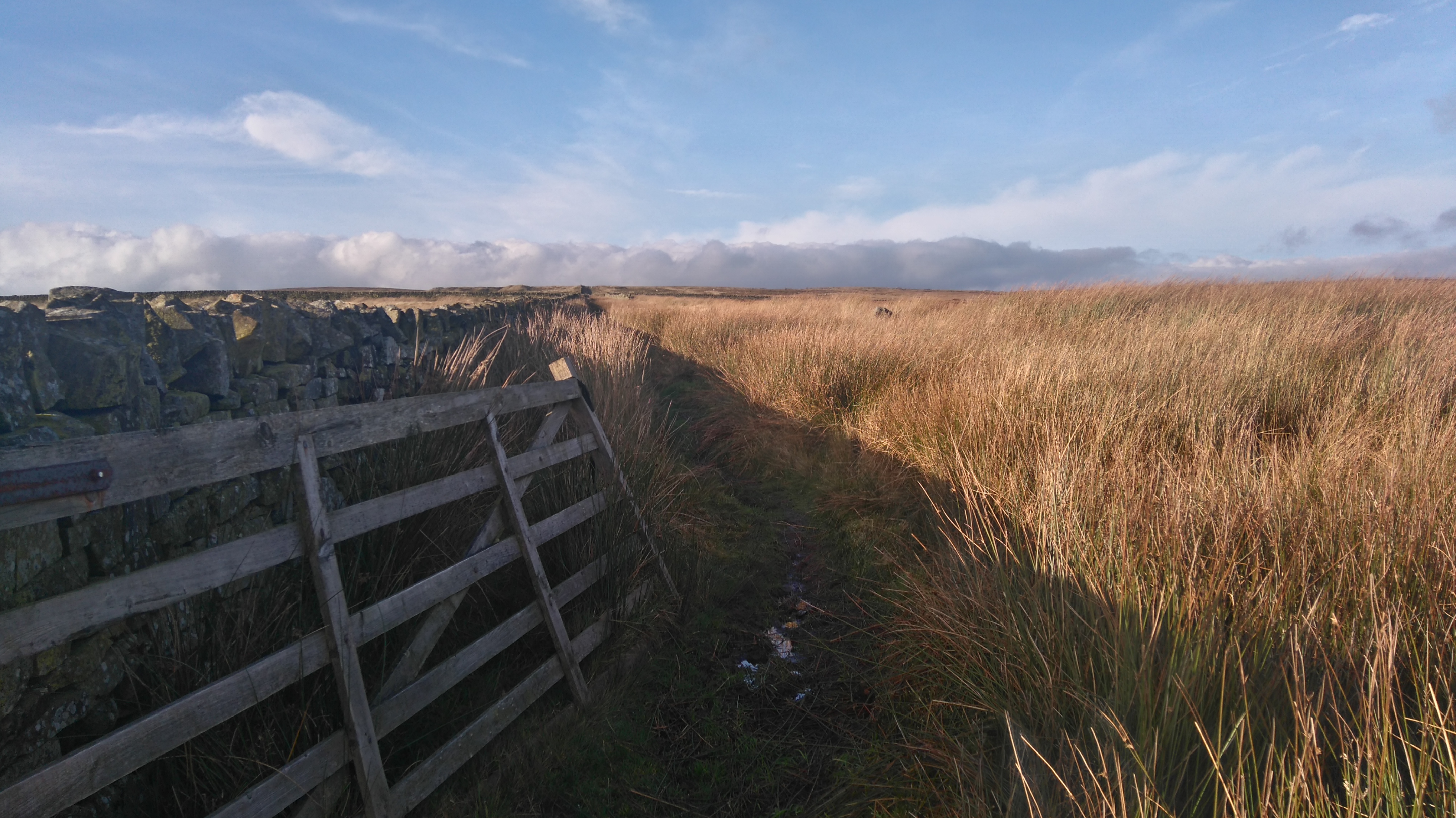 |
| Ickornshaw Moor |
 |
| Ickornshaw Moor |
Day three: Dean Hole to Gargrave 13 miles.
Dean Hole to Ickornshaw, Lothersdale, Pinhaw Beacon, Thornton in Craven, East Marton, Gargrave, Eshton Road Campsite.
A seemingly never-ending slog through saturated fields, muddy farmyards, cow poo, quiet little villages, along lanes and tracks, through bog, across slippery boardwalks and many many styles.
Weather: Breezy, drizzly, mostly overcast.
Highs:
- Getting to Gargrave: toilets, food, showers!
Lows:
- Faulty gas cooker
- Very wet underfoot
- Slippery boardwalks
- Wet socks
 |
| PW2 day 3 |
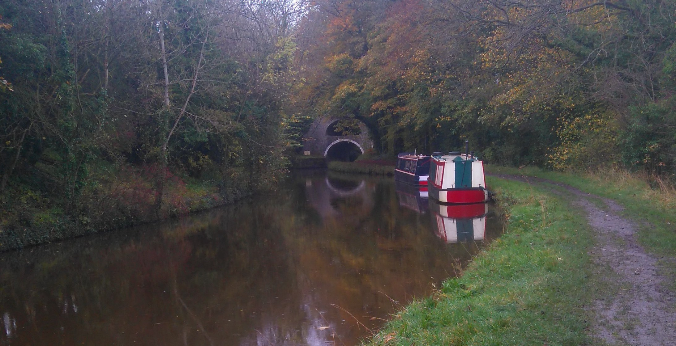
A dreary day (cloudy, drizzly, breezy) spent trudging up and down muddy fields, through small villages, over Pinhaw Beacon, along a tow-path (Leeds and Liverpool canal), more muddy fields, horse and cow poo, and finally arriving fed-up and tired in Gargrave.
The Dalesman Cafe had just closed for the day, so I bought some food from the Co-op before finding a campsite just out of town.
After pitching the tent and showering, I sat in the small utility room reading a book by the radiator and trying to dry my socks and waterproofs before snuggling into my sleeping bag.
 |
| My camp at Dean Hole |
 |
| Getting to Ickornshaw. |
Walking through Ickornshaw: "Are you lost?" asked the bin man...great, instead of looking like an intrepid explorer I obviously looked like a bimbling idiot...I smiled and quickly walked on.
 |
| Back on the moor |
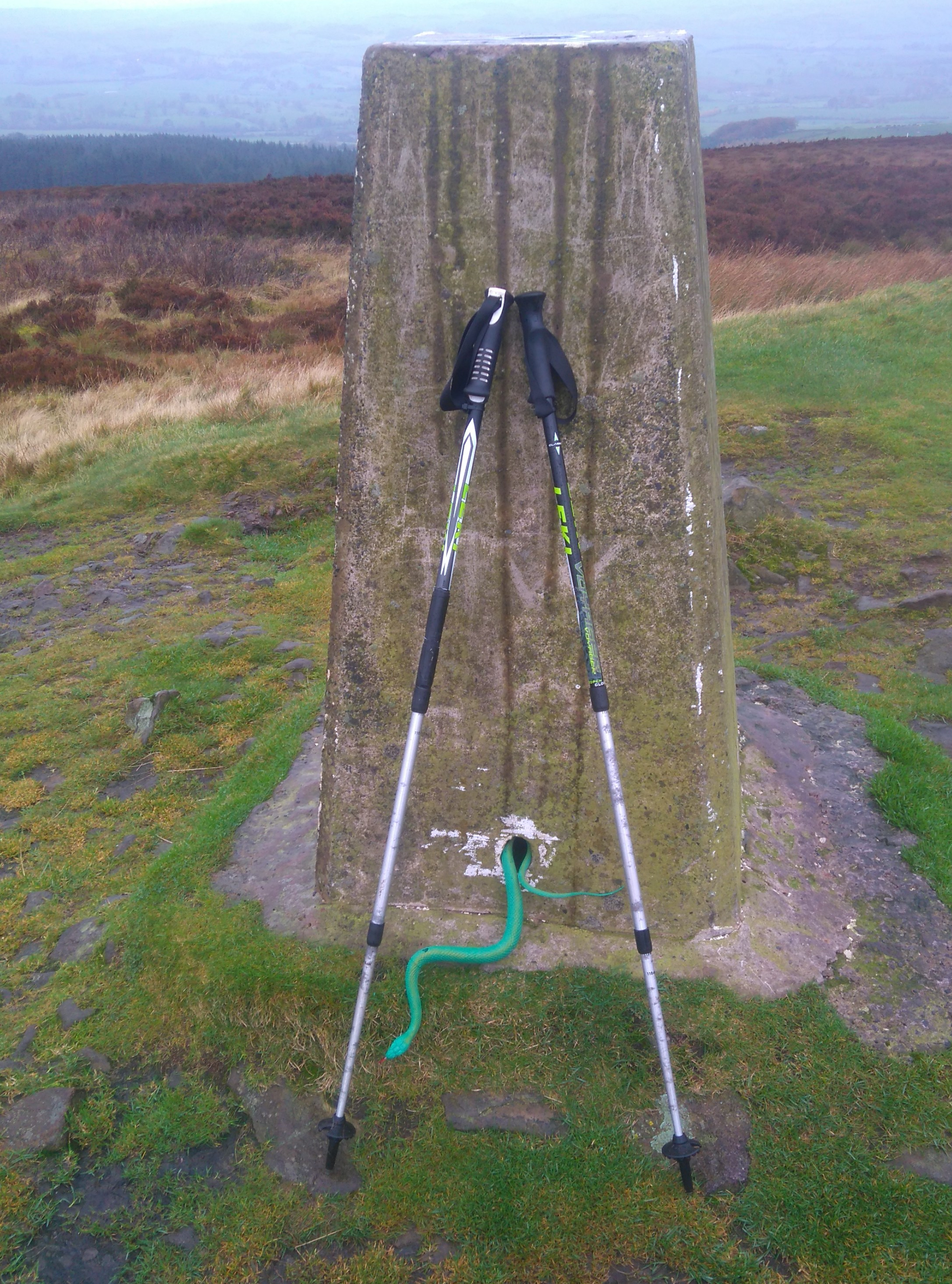 |
| Strange wildlife on Pinhaw Beacon |
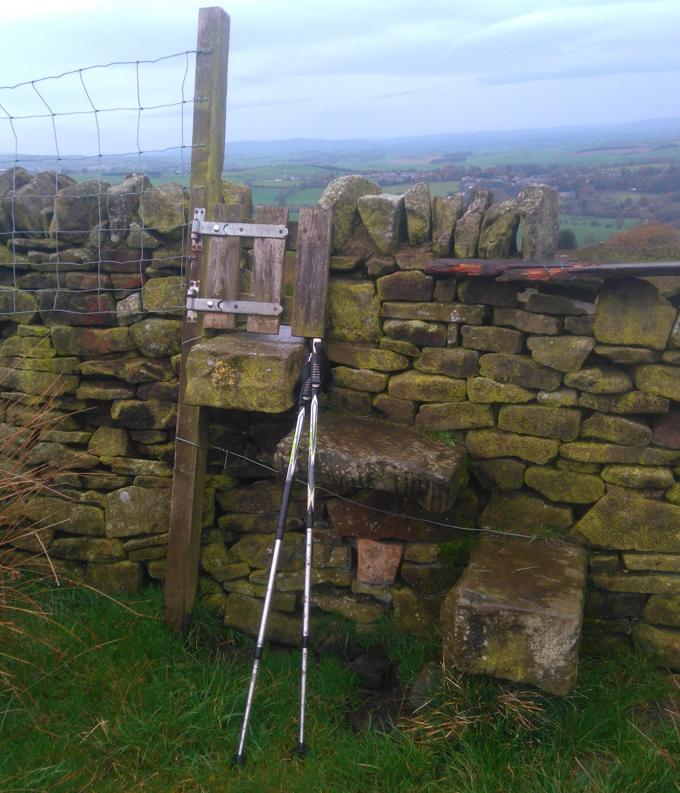 |
| Funny little stiles |
 |
| The double bridge at East Marton |
 |
| Near Gargrave |
Not a good picture, but this was a bit of a highlight: a signpost pointing to Gargrave and the beautiful limestone area beyond.
Gargrave, Airton, Malham, Malham Tarn, Great Hill.
Weather: sunny and quite warm, cold at dusk.
Highs:
- Lovely weather
- Amazing views
- Incredible scenery
- Cooked food in Malham
- Feeling quite fit
Lows:
- Not seeing the sun set
- Getting chilled when pitching my tent
- Not sleeping too well
 |
| PW2 day 4 |
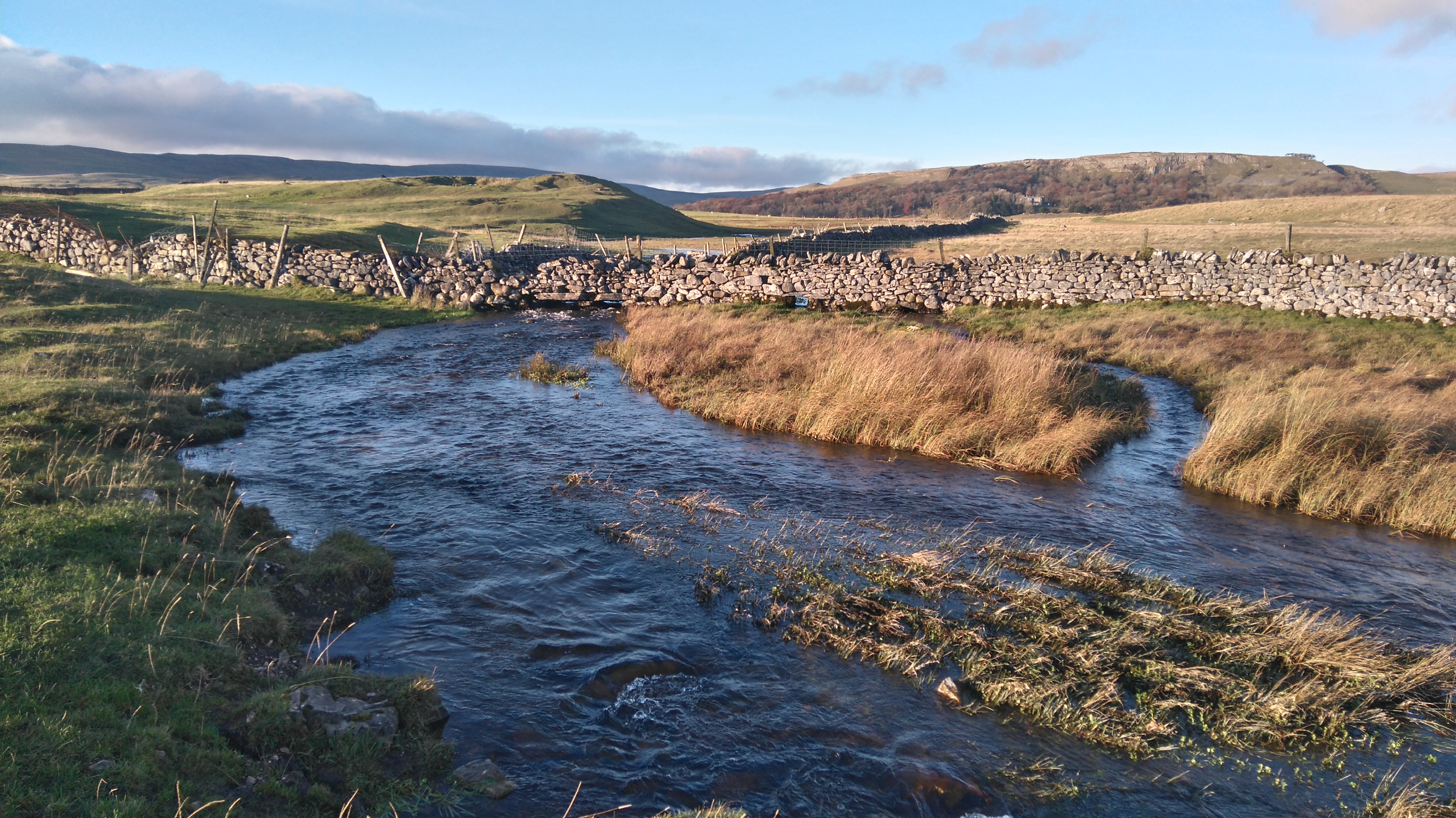
I woke to sunshine and frost, the air crisp and cold. A pleasant walk through farm-land and along the river Aire took me to Malham.
An elderly couple sitting on a bench chuckled as I walked into the Malham Beck to rinse the mud off my boots, gaiters and lower legs before heading to a cafe to have a hot meal.
In an outdoor shop I bought some socks and another gas cannister, hoping this would solve the malfunctioning cooker problem, unfortunately it didn't.
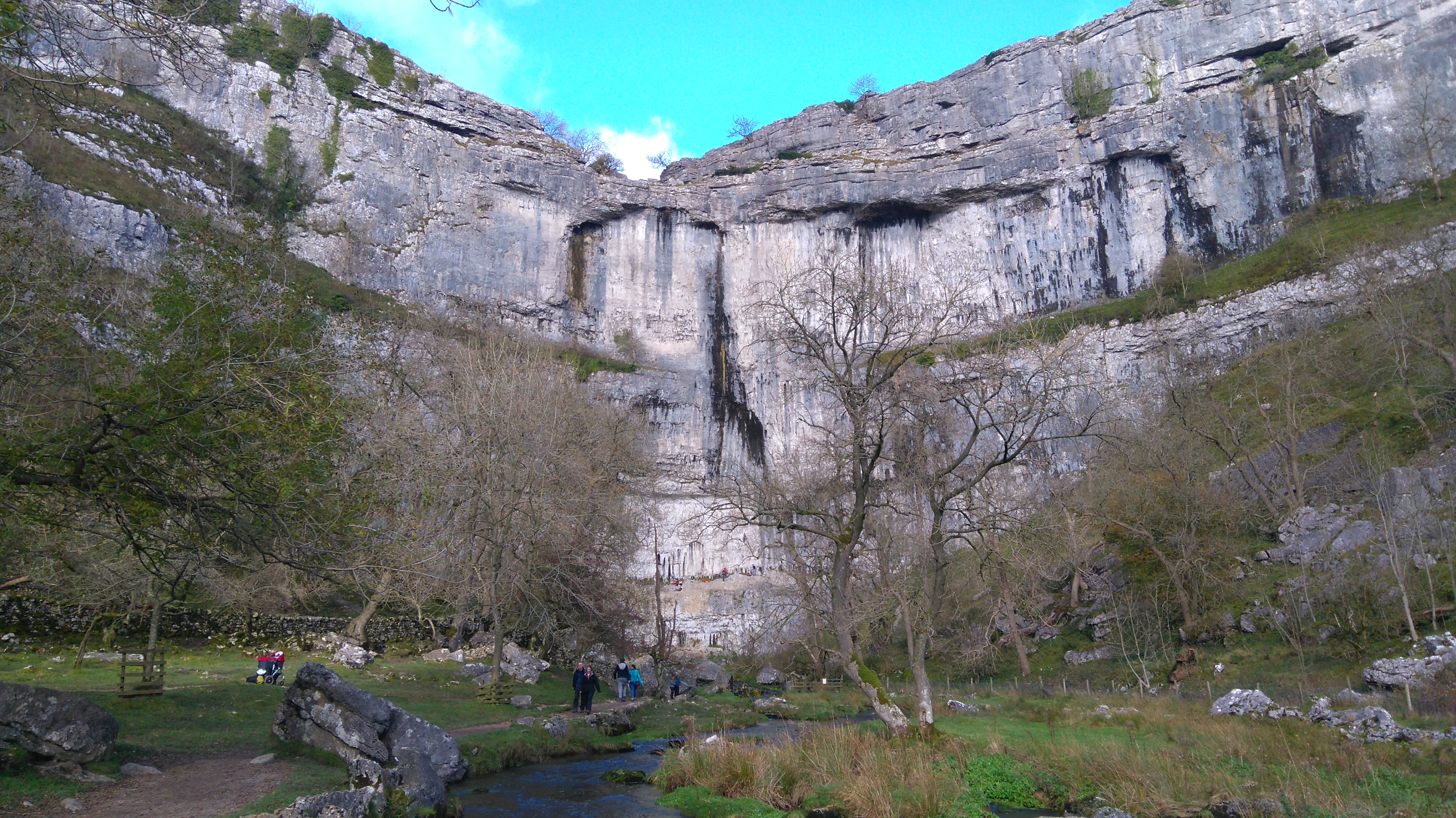
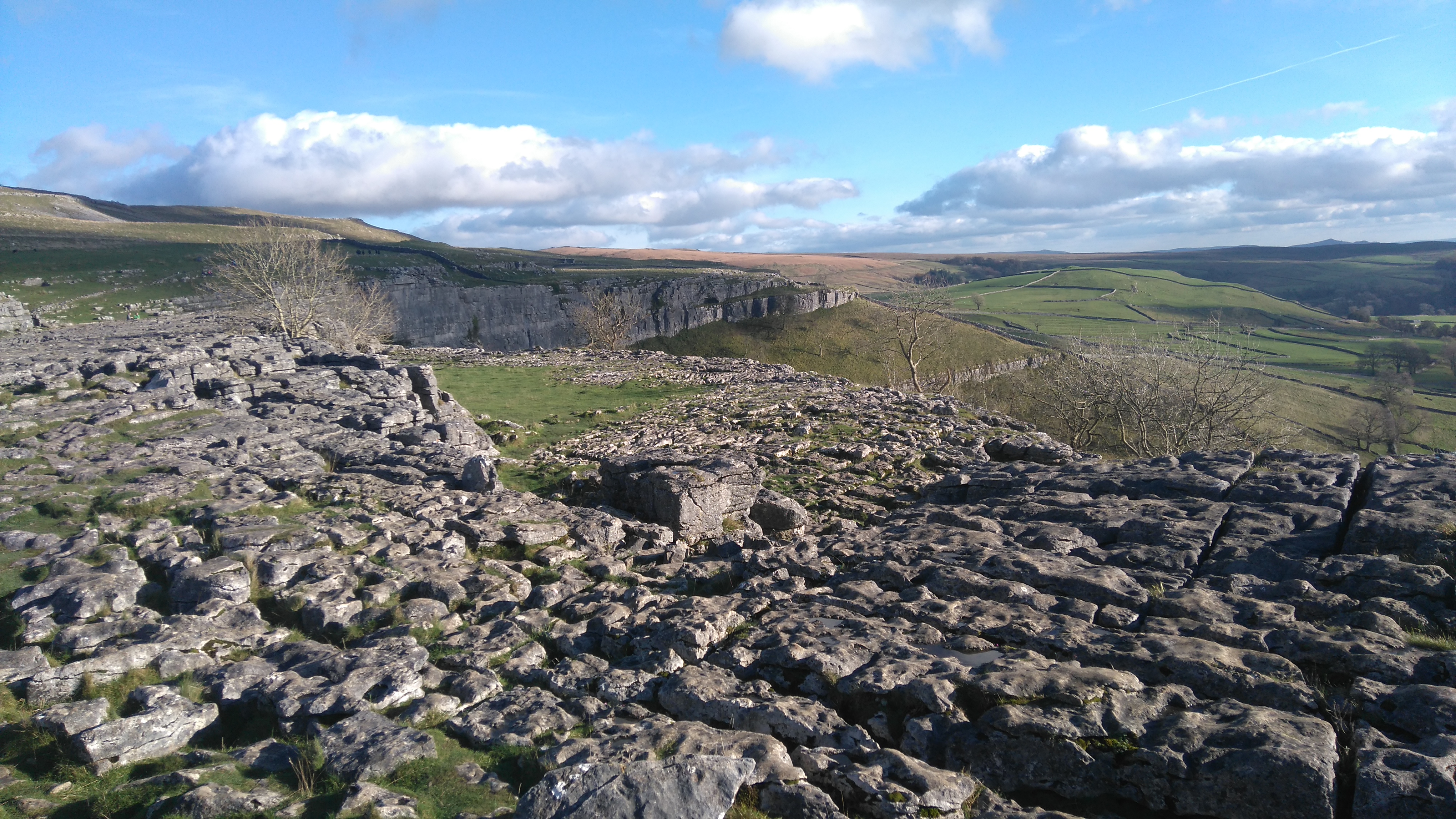
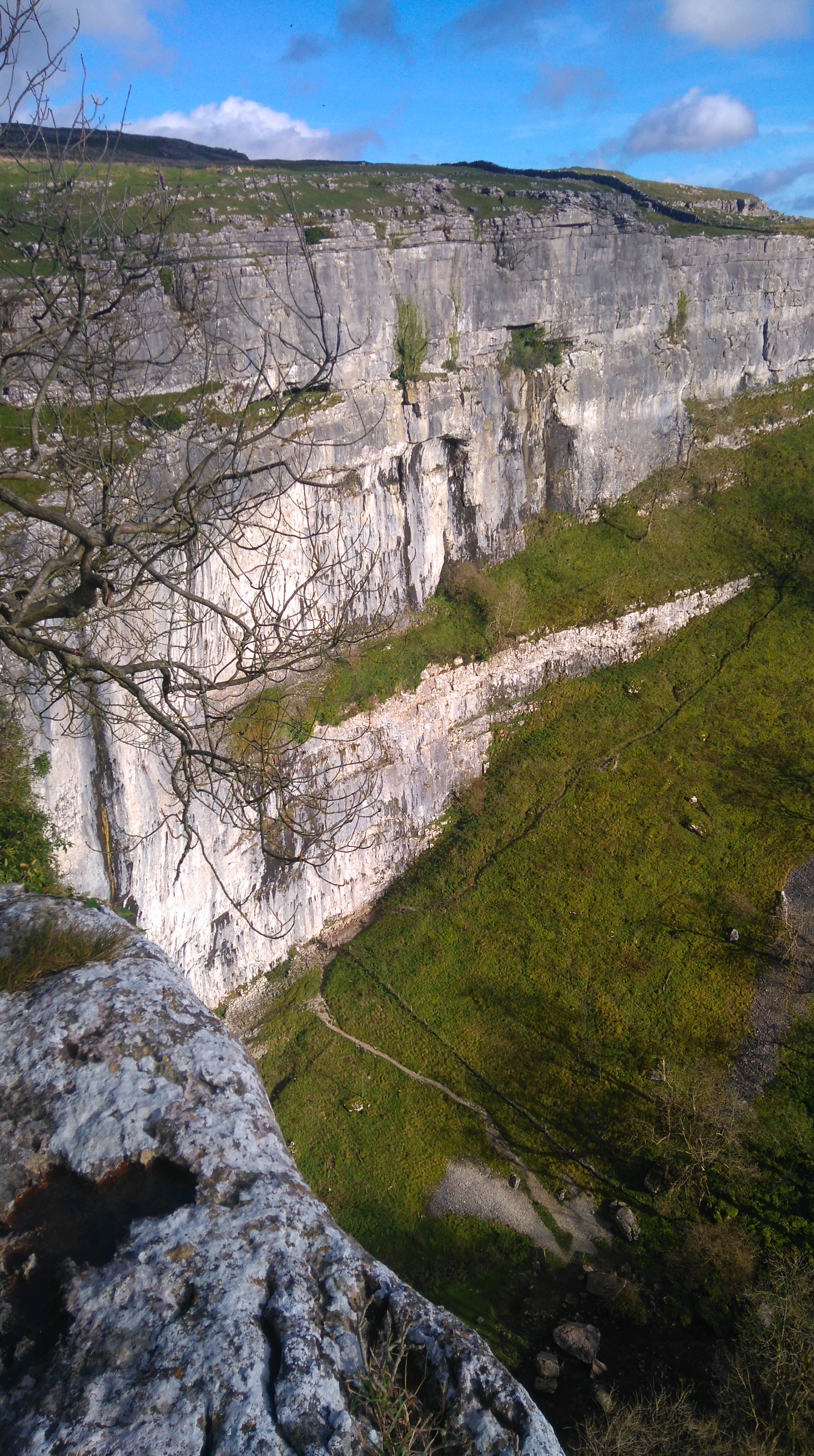
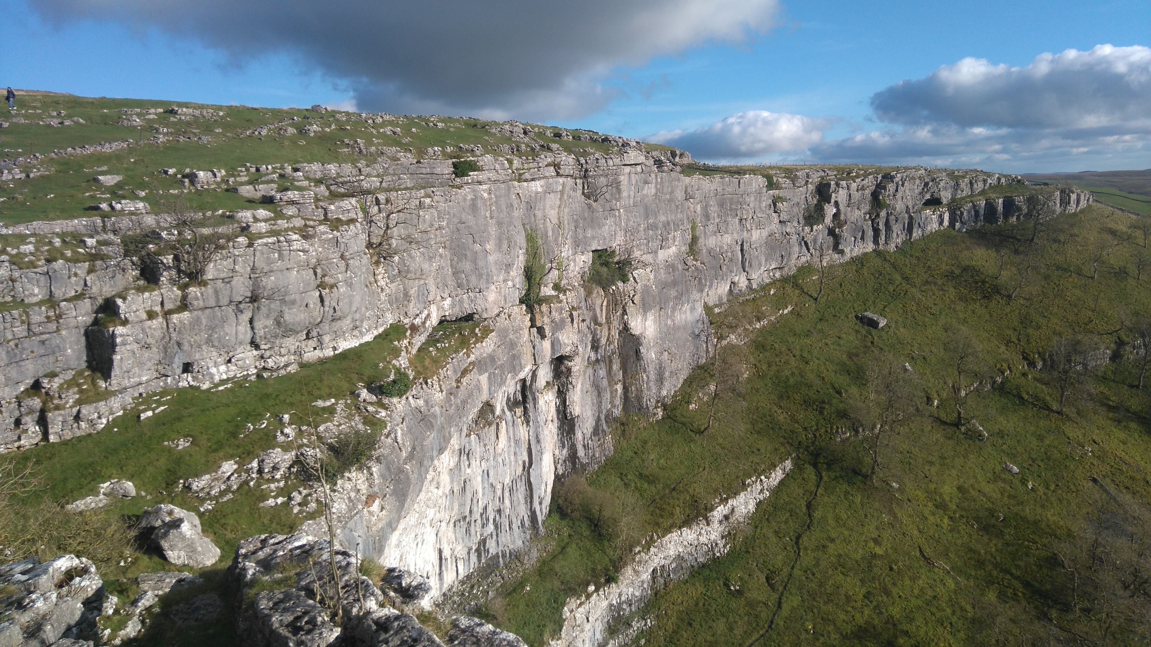
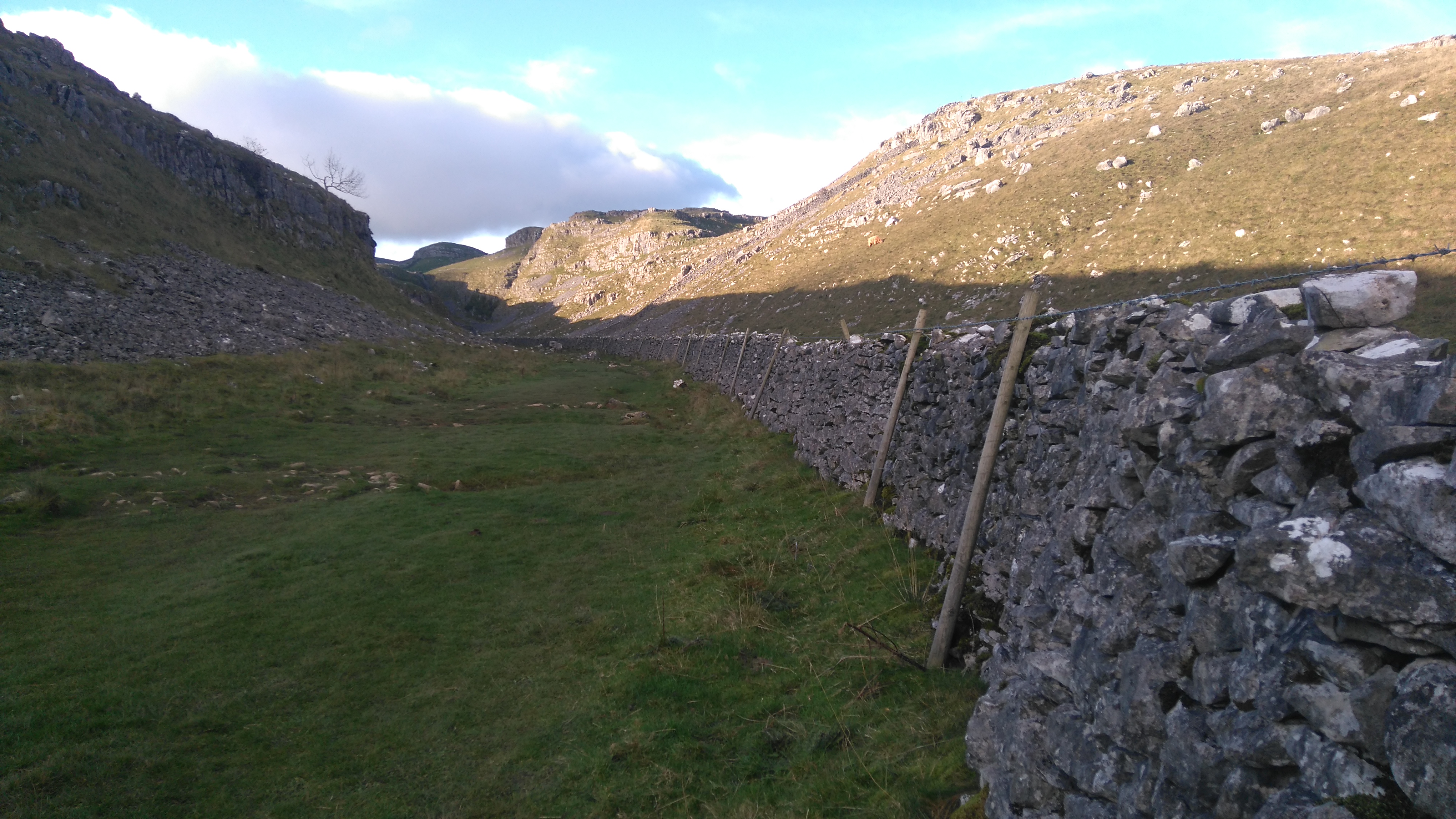
After lunch I walked to Malham Cove, a grand limestone escarpment topped with grykes and clints (limestone paving). After ascending the many many steps to the top I spent some time exploring the site, taking pictures and enjoying the views. I felt very lucky to have such good weather.
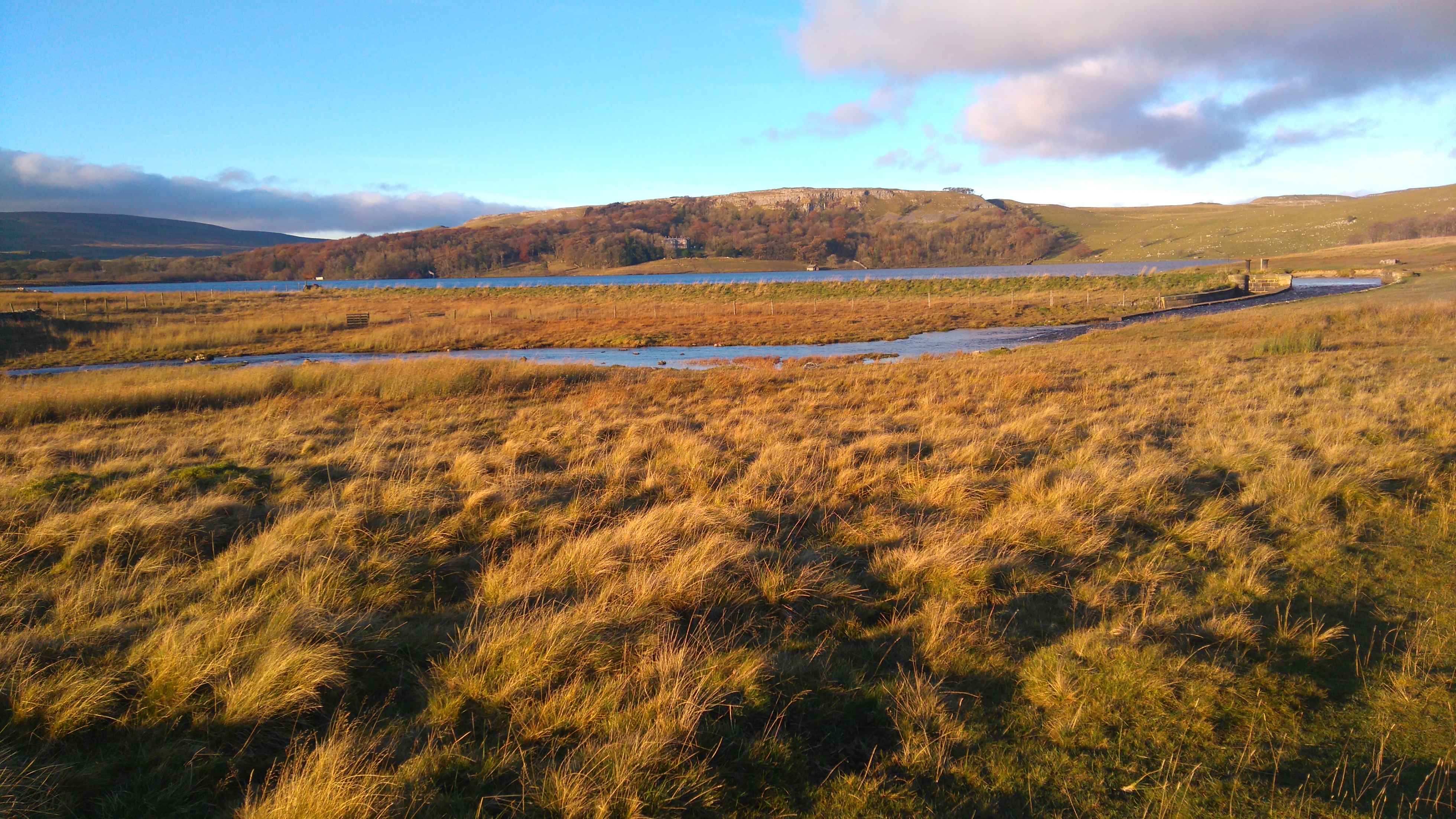
A scenic hike through the Watlowes Valley took me to Water Sinks, where the river disappears underground for some miles, then Malham Tarn, a large natural upland lake.
The setting sun brought out all the colours in the landscape, while a light breeze gently rippled the water's surface. I walked further up into the hills towards Fountains Fell, looking for a place to camp.
With the setting sun came a cold breeze. Too busy with pitching my tent I didn't put on an extra layer and got really chilled. I ate some food and wrapped myself in my sleeping bag, but felt cold for a long time.
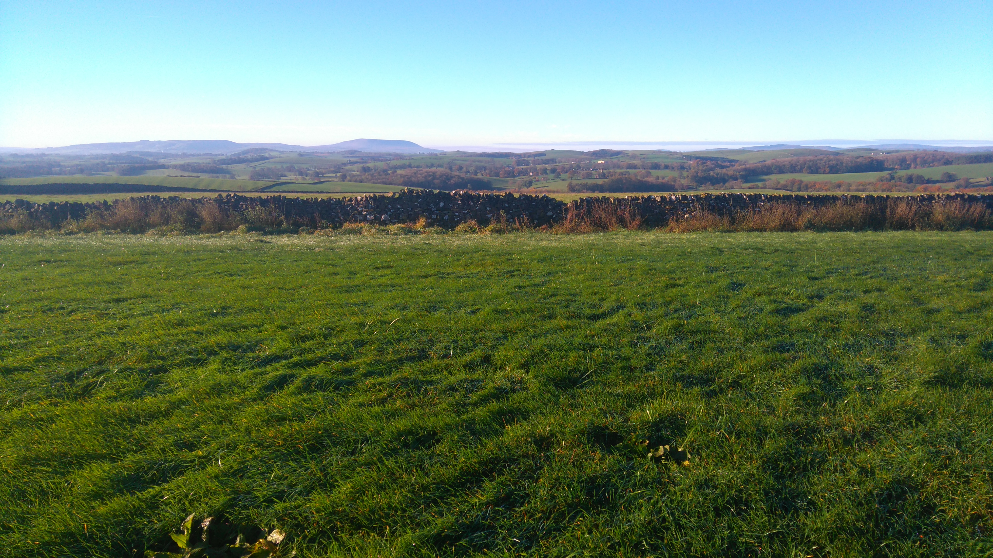 |
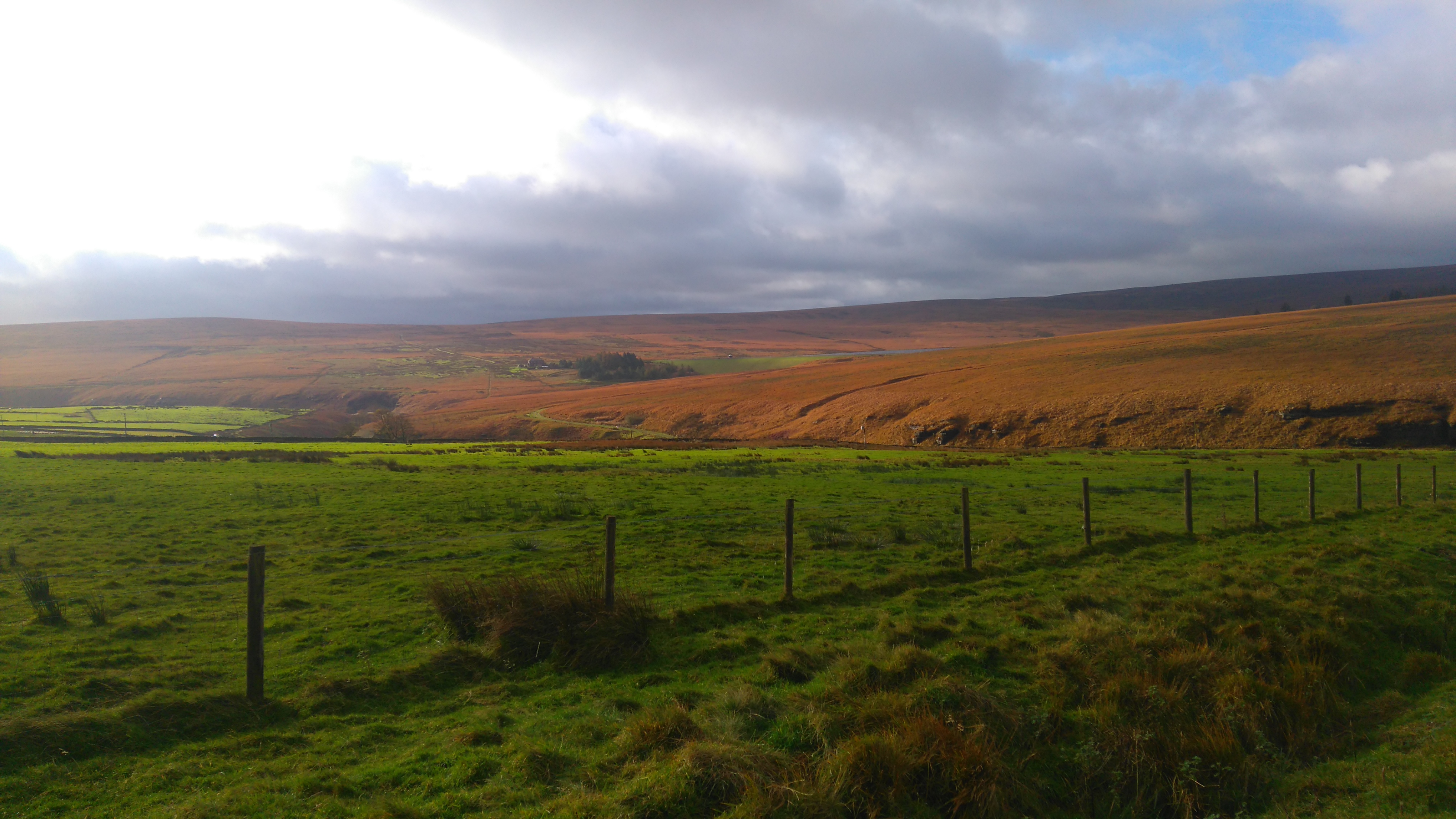
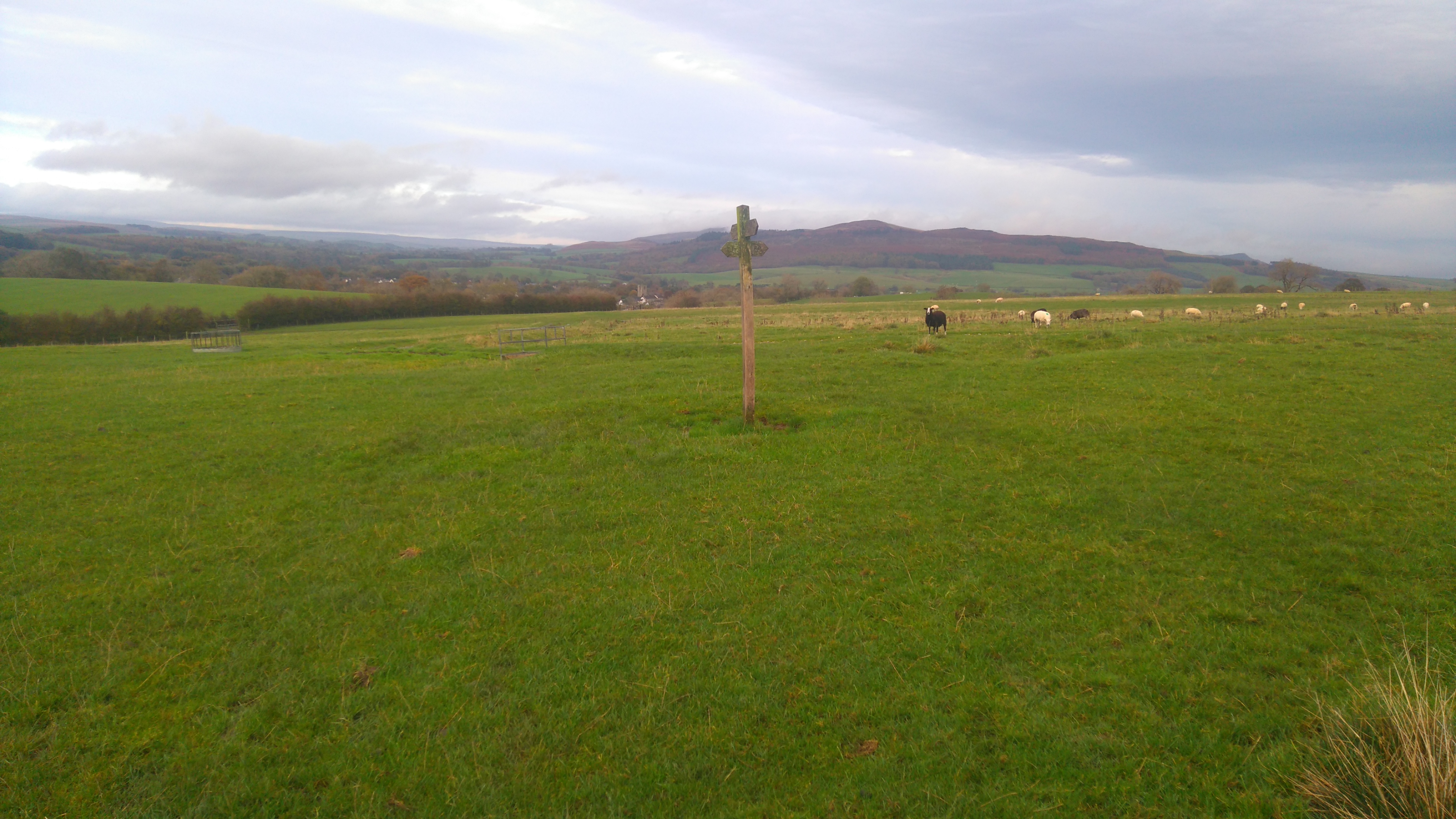
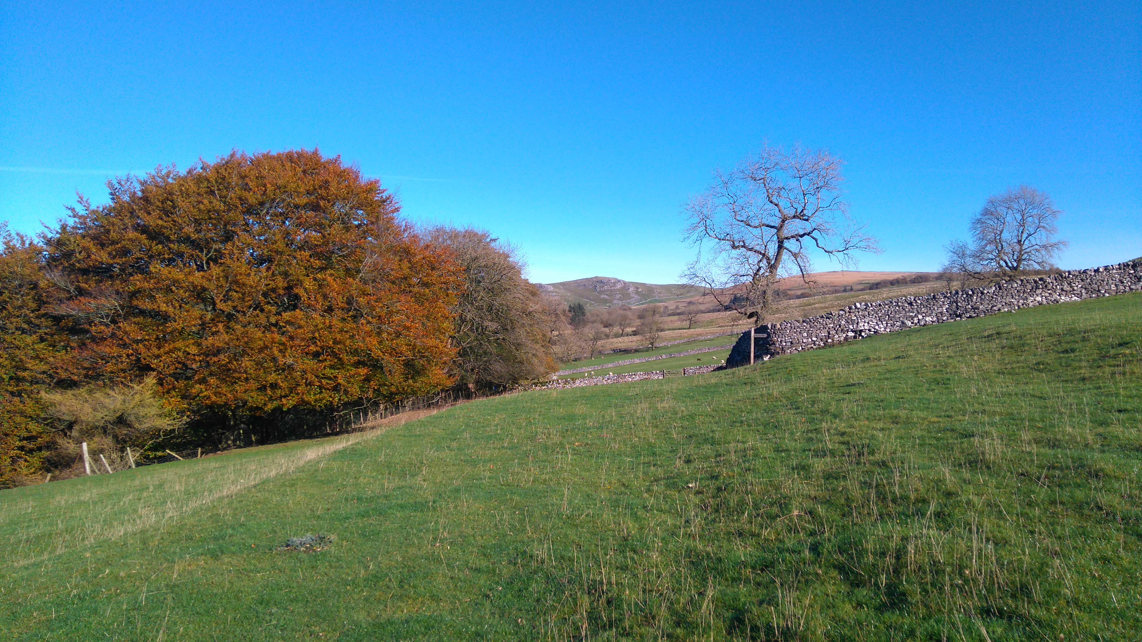
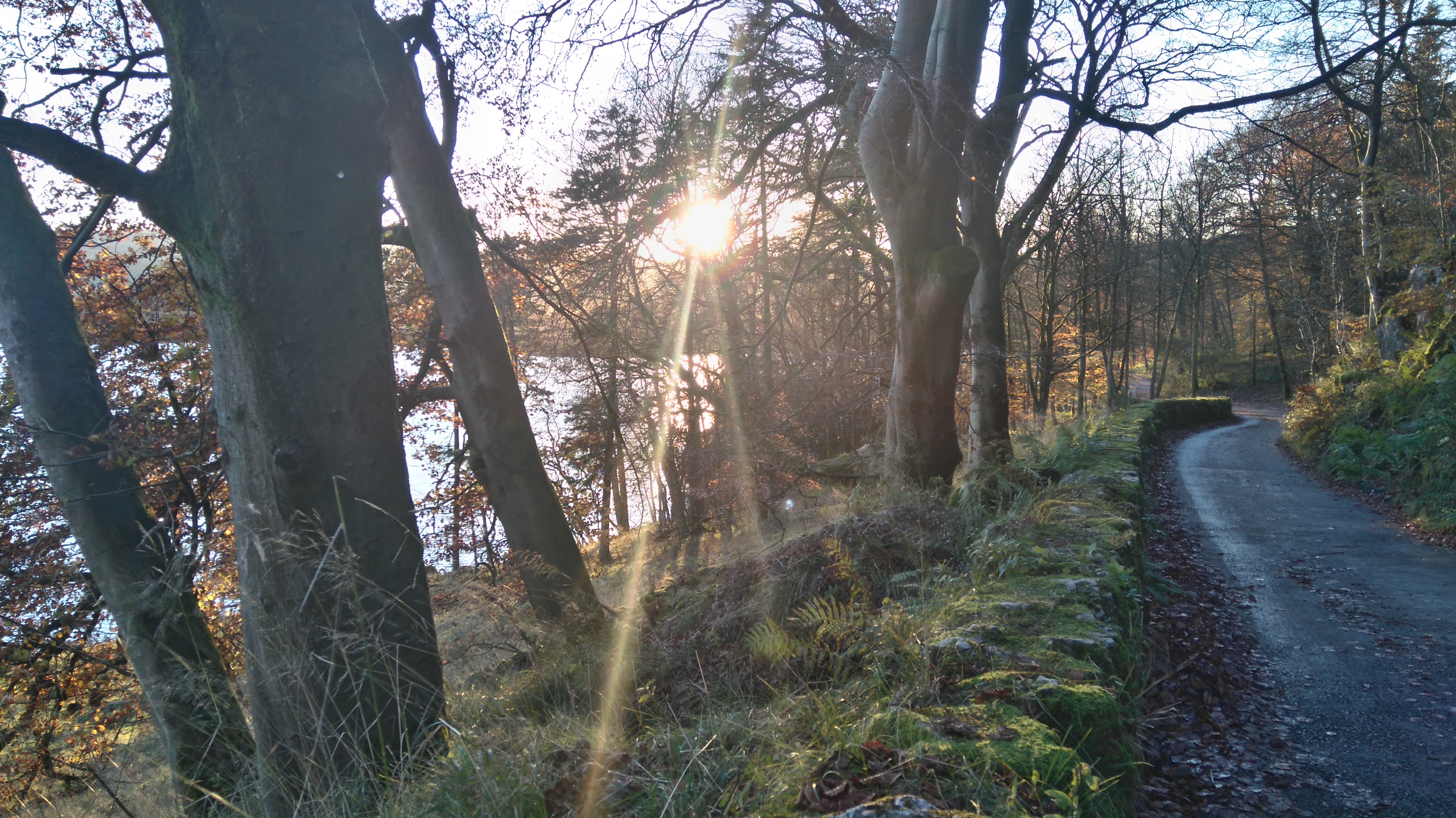
| Between Gargrave and Malham |
 |
| The river Aire |
 |
| The river Aire |
 |
| Windy Pike |
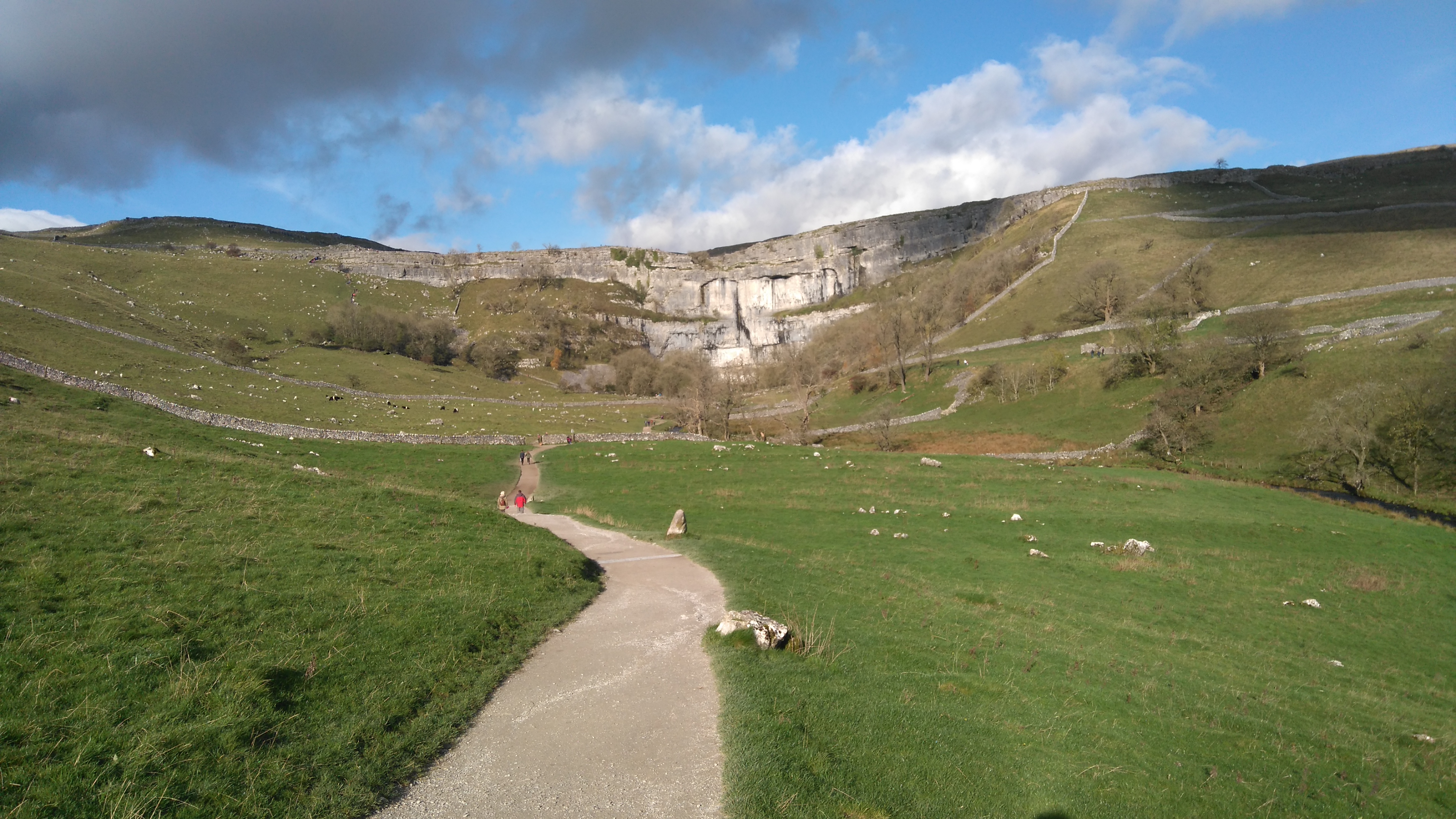 |
| Malham Cove |
 |
| Malham Cove |
Some rock climbers were trying to find a way up, a boy got himself stranded on a rock in the fast flowing stream and needed a hand (a pole in this case) to get off safely, others got wet feet walking across the flooded path.
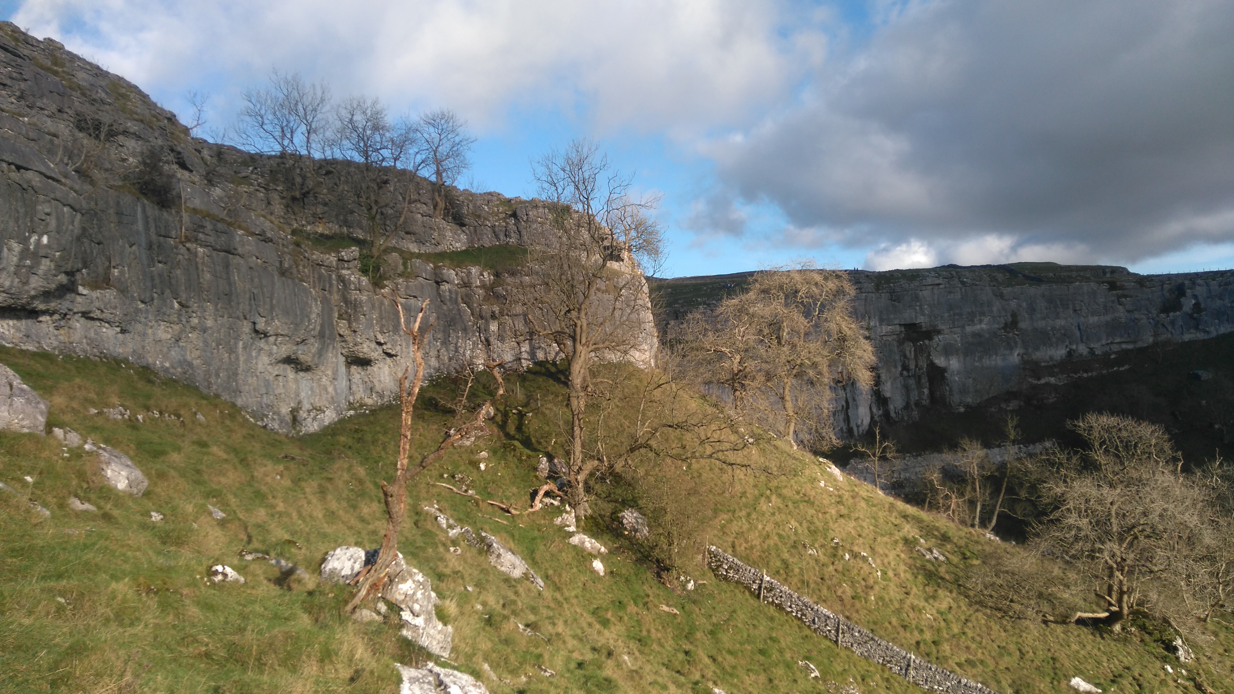 |
| Malham Cove |
 |
| Clints and Grykes |
 |
| Malham Cove |
I had a bit of fun clambering about without the big bag. Parents wisely kept their children away from the edge.
 |
| Malham Cove |
 |
| Malham Cove |
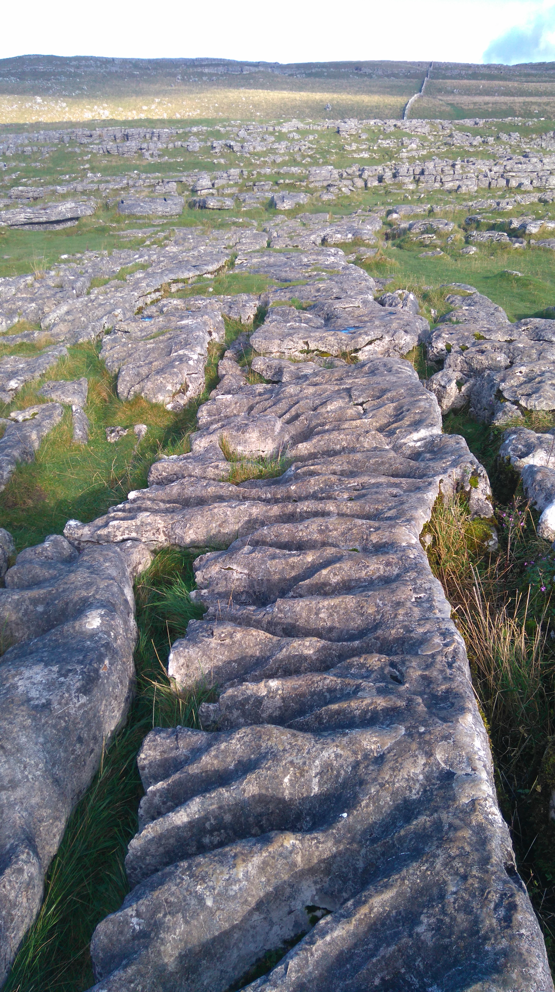 |
| Malham Cove (Limestone pavement) |
 |
| The Watlowes valley |
 |
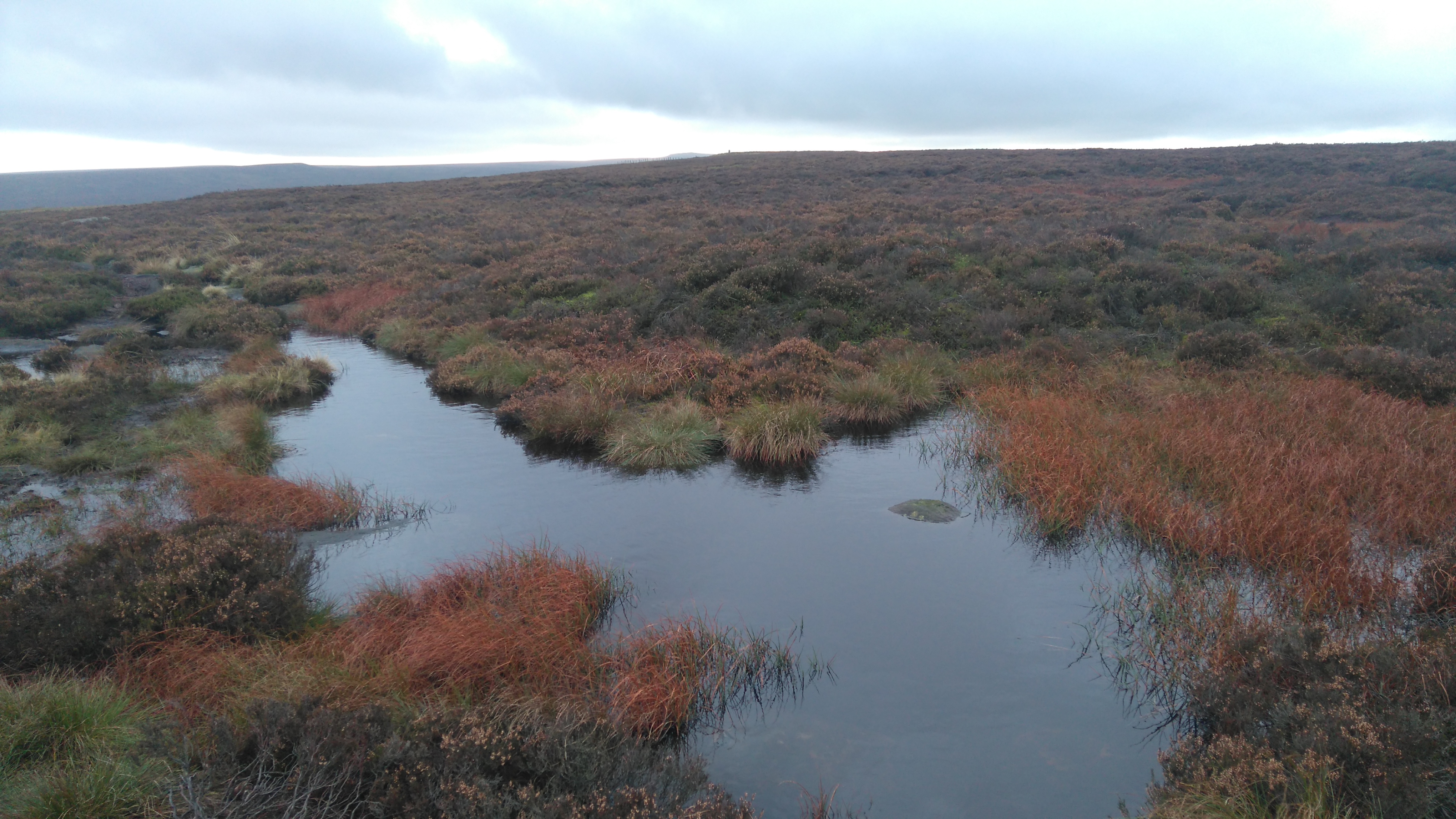
| Water Sinks |
 |
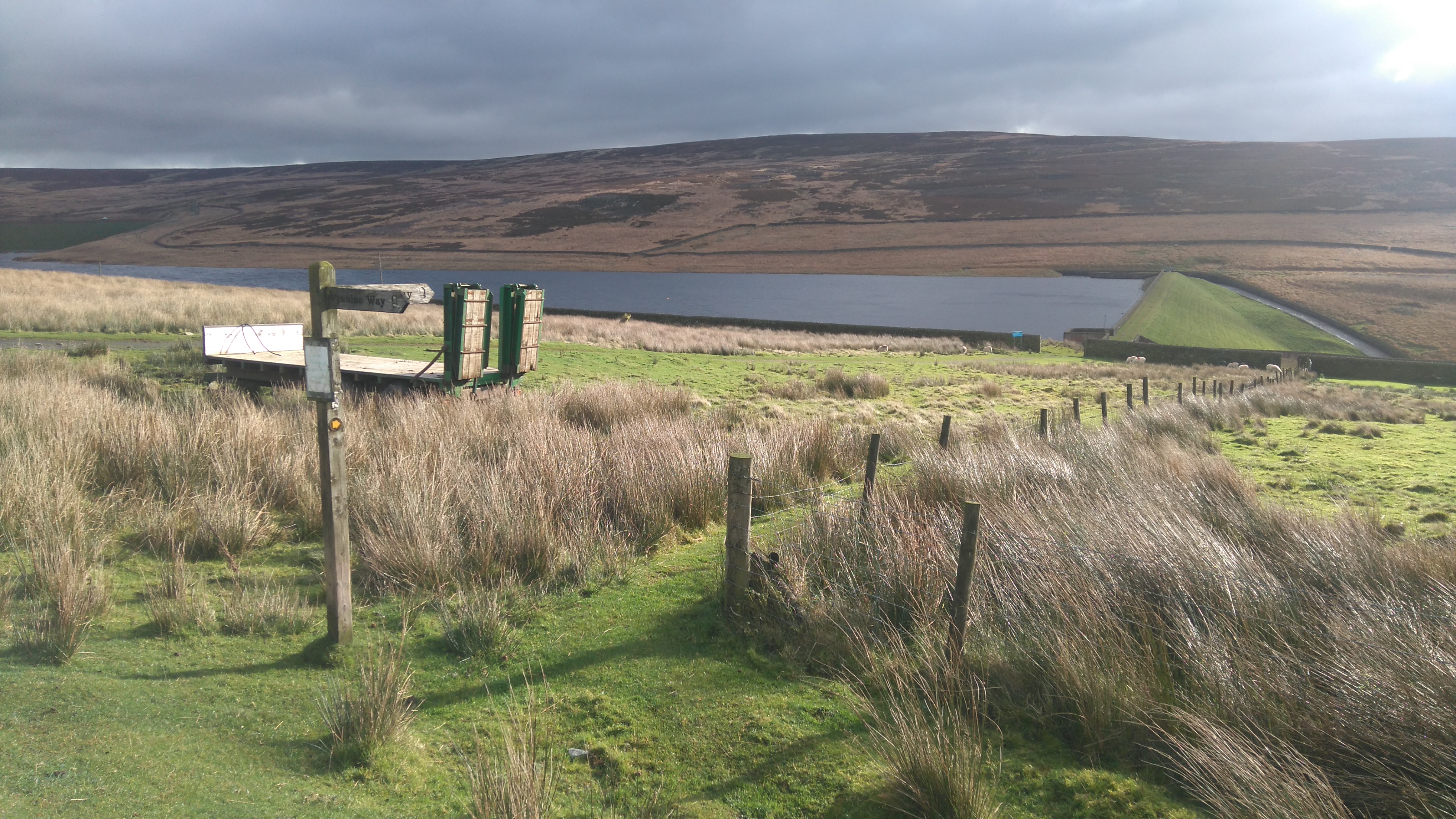
| Approaching Malham Tarn |
 |
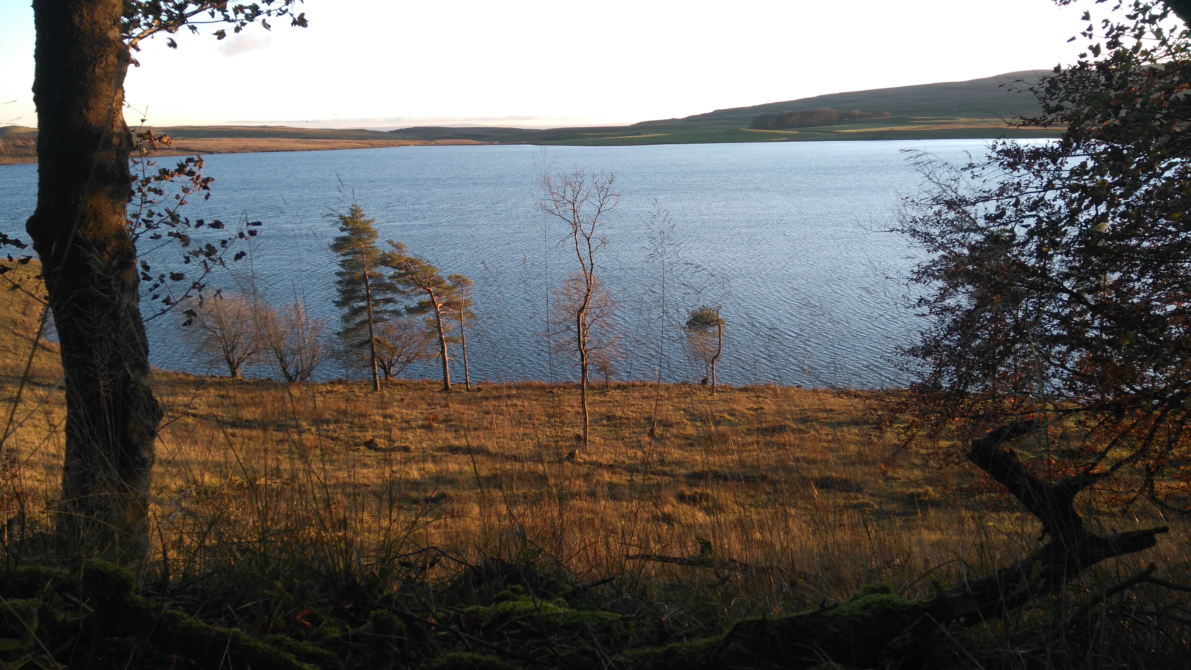
| Malham Tarn (a large natural upland lake) |
 |
| Malham Tarn |
 |
| Malham Tarn |
 |
| Malham Tarn (near the research station) |
 |
| Great Hill Farm |
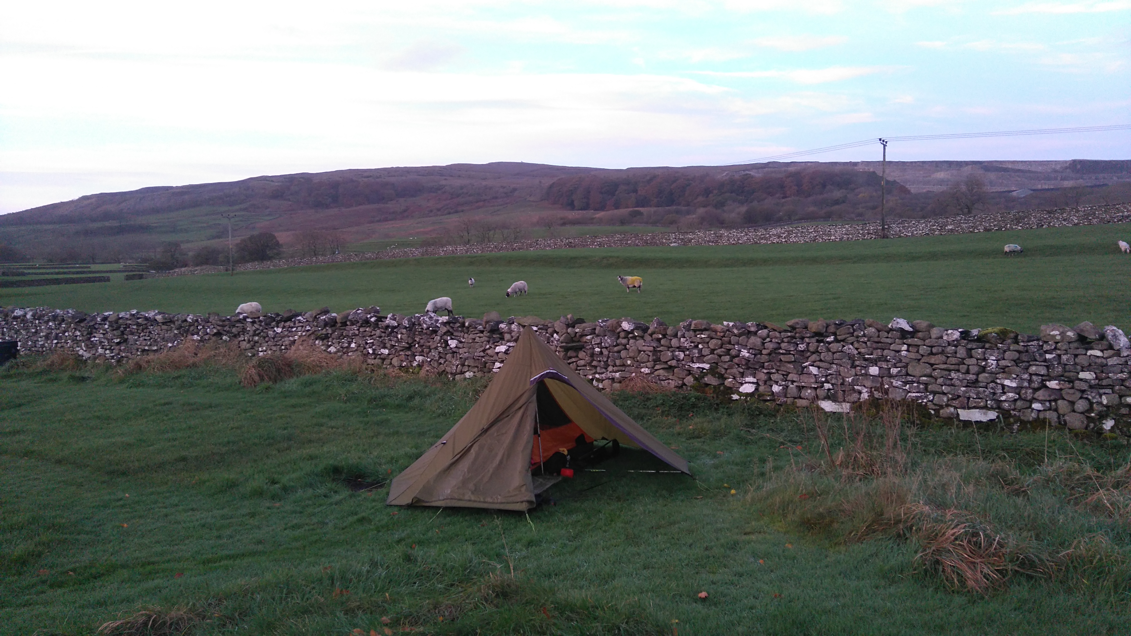
I made camp near a farm where nobody lived, behind a wall to shelter from the prevailing wind. It felt quite remote even though there were a few farms nearby.
Great Hill to Fountains Fell South Top, Fountain Fell Summit, Pen Y Ghent, Horton in Ribblesdale, Holme Farm Campsite.
A mountain day: a tough walk across Fountains Fell (668 m) and Pen Y Ghent (694 m) in wet and windy weather.
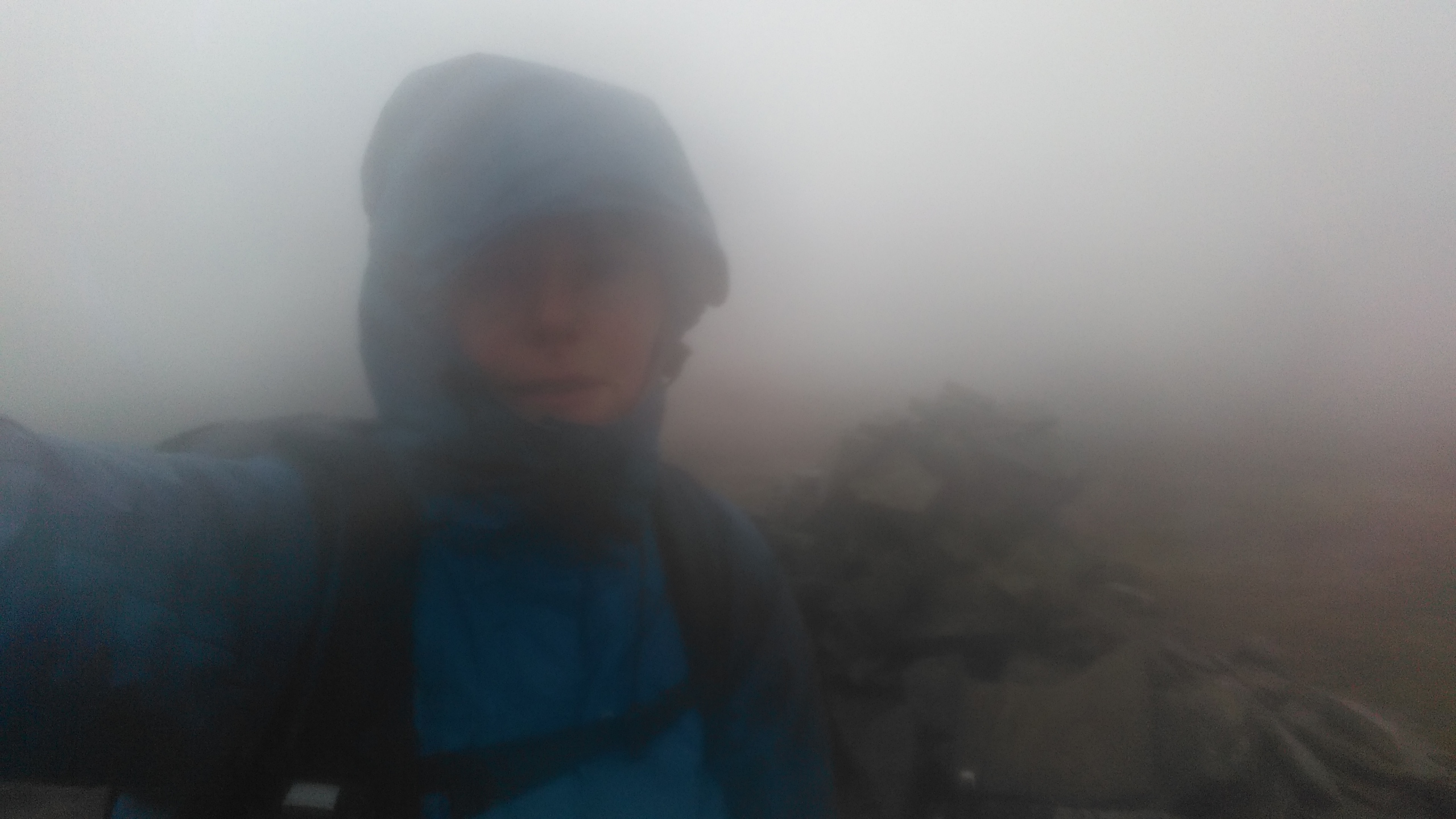
Weather: very windy, wet, foggy and overcast.
Highs:
- Bagging 3 Nuttalls
- Meeting 'interesting' people
- Feeling accomplished
- Staying dry (-ish)
- Signing the PW book
- A great pub meal
Lows:
- Wet and windy weather
- Poor visibility
- Not visiting Hull Pot
 |
| PW2 day 5 |
A change in the weather brought wind, rain and no views. My intended route would pass over two big hills today, including three summits (Nuttalls) over 600m.
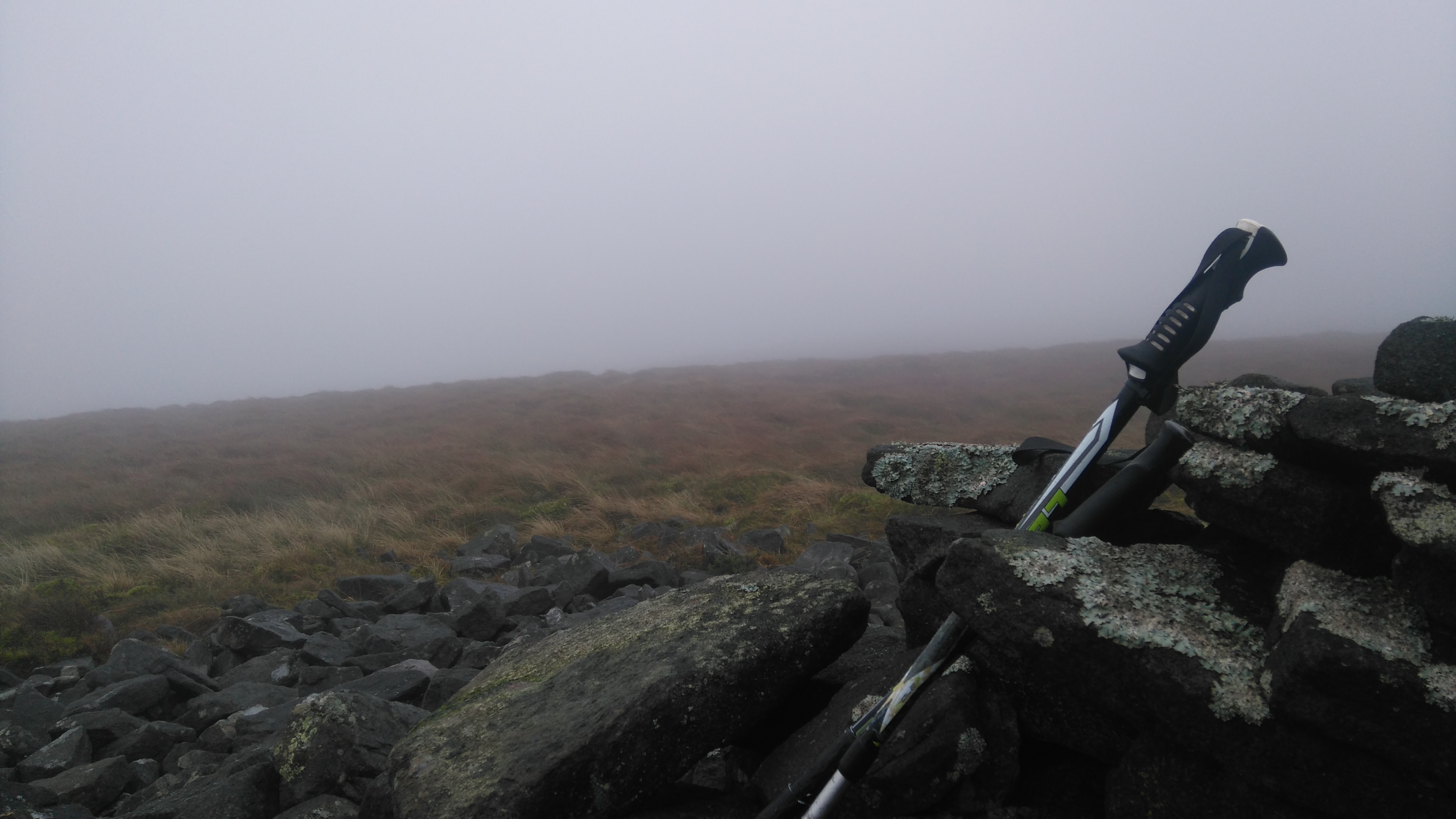
While walking up Fountains Fell, I decided to leave the path and make my way, through bog and heather, to Fountains Fell South Top. From the small summit cairn I battled against strong winds, trying to follow a compass bearing to the main summit across very rough terrain.
Suddenly a dark expanse of water came into view, Fountains Fell Tarn, which meant I was going in the right direction. Later tall cairns indicated I had reached the main summit, from where a trail led back to the PW.
The path descended steeply to a lane leading to Dale Head in the valley below and the start of the ascent up Pen y Ghent.
I came across a very large sinkhole called 'Churn Milk Hole'. When I looked down I felt quite hypnotised...everything was swirling round and round...strange forces at play or just lack of food or sleep?
I had a quick lunch while sheltering behind a wall, before starting the walk and scramble up to the summit.
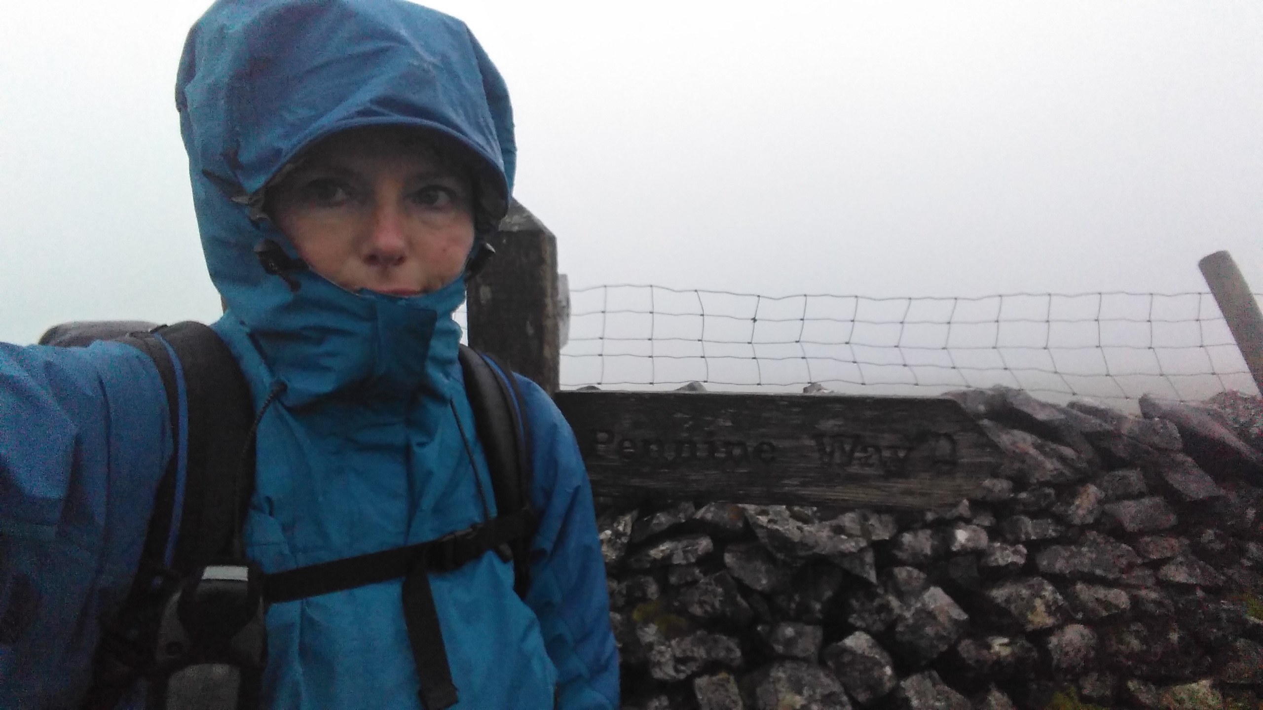
Despite the wind and rain I strangely enjoyed making my way up the rocky path. I did not stay long on the summit, and soon started to descent the big stone steps on the other side of the hill. The wind, blowing from the west in great gusts, tried swiping me off my feet and made my poles fly up in the air.
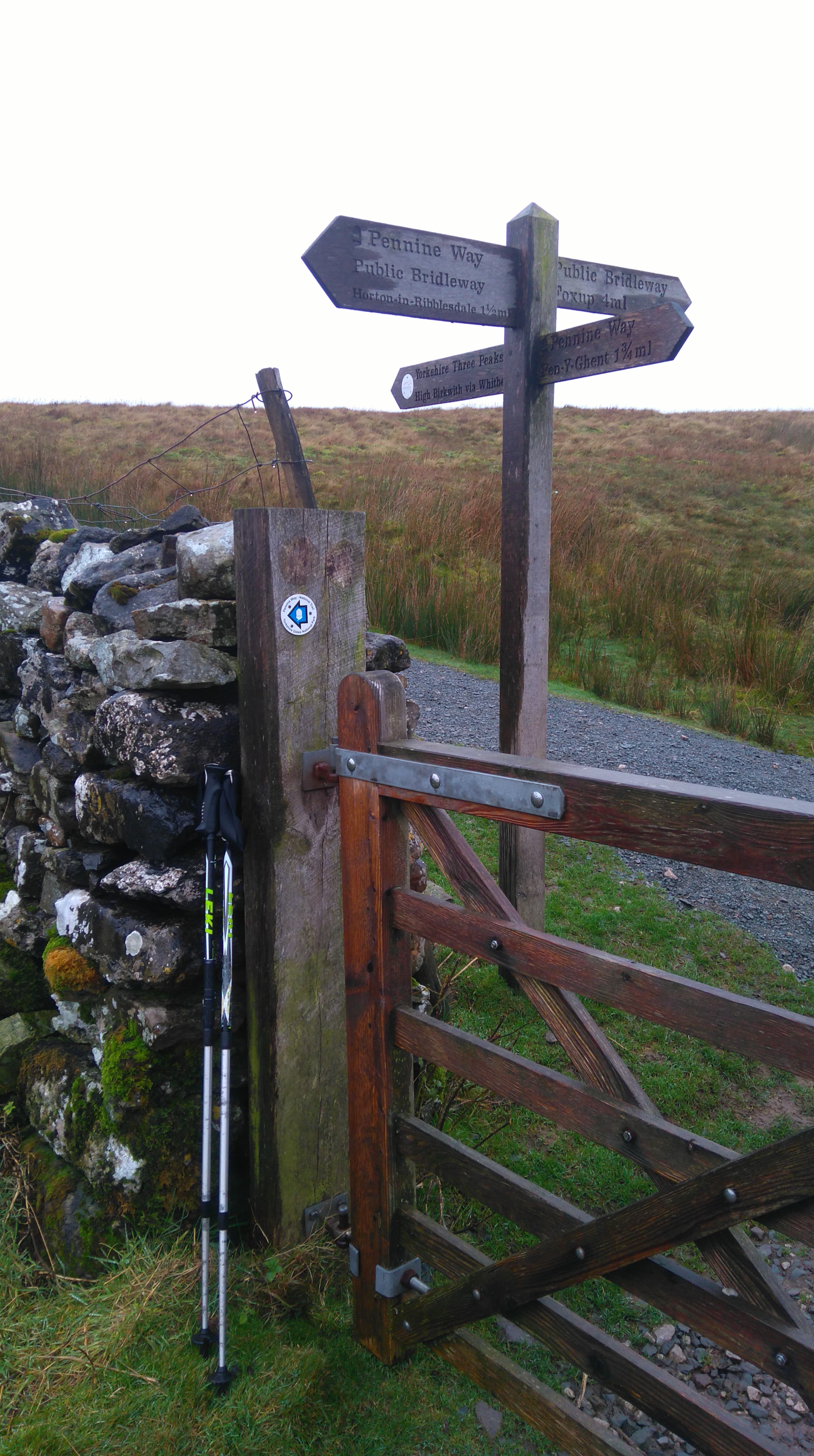
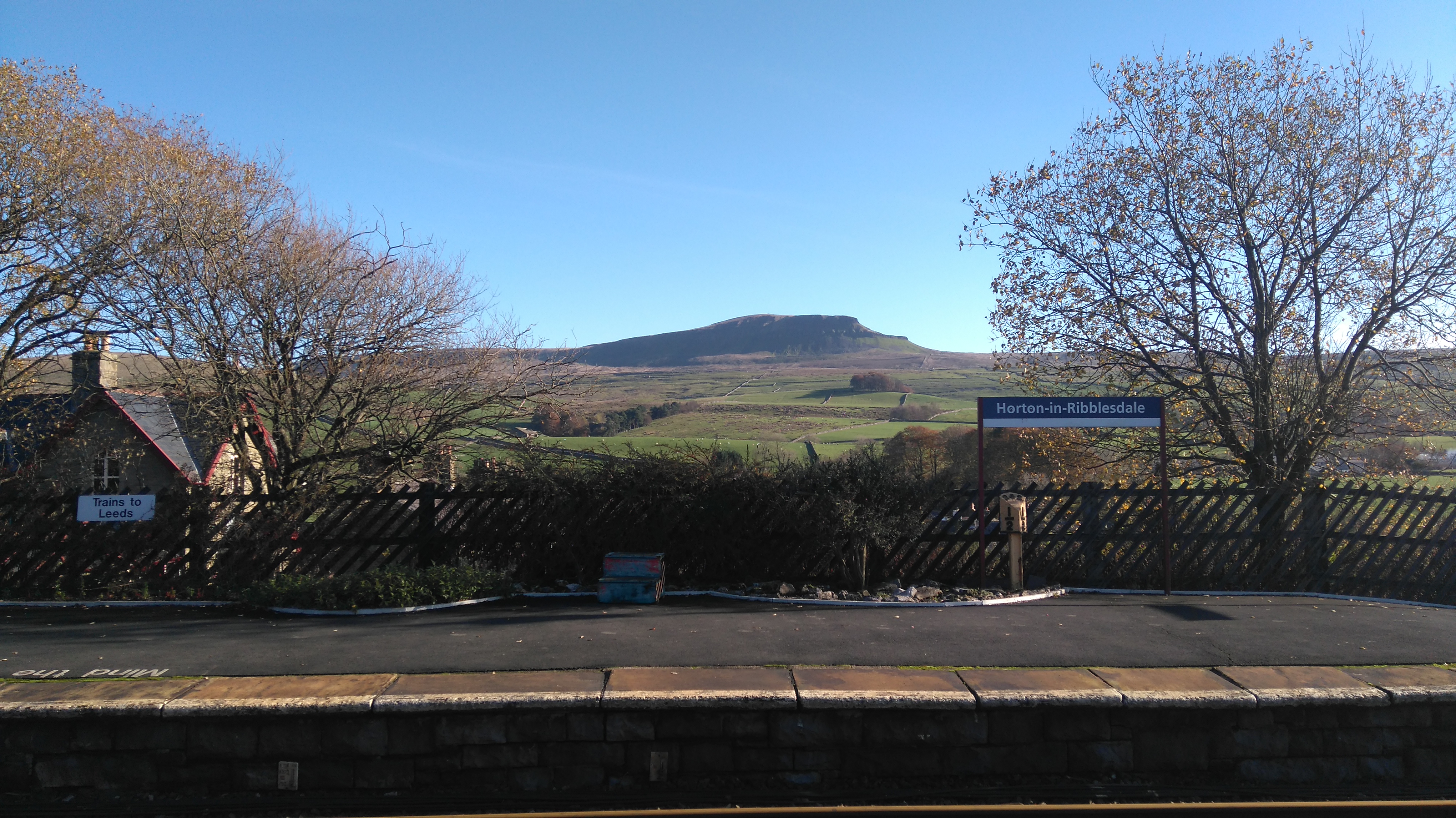
I was happy reaching the gate at the bottom of the hill, where a sign told me just over a mile to the village of Horton in Ribblesdale. In my haste to get to the village, and enjoy the comforts of a warm pub or cafe, I didn't divert to Hull Pot, which I later regretted.
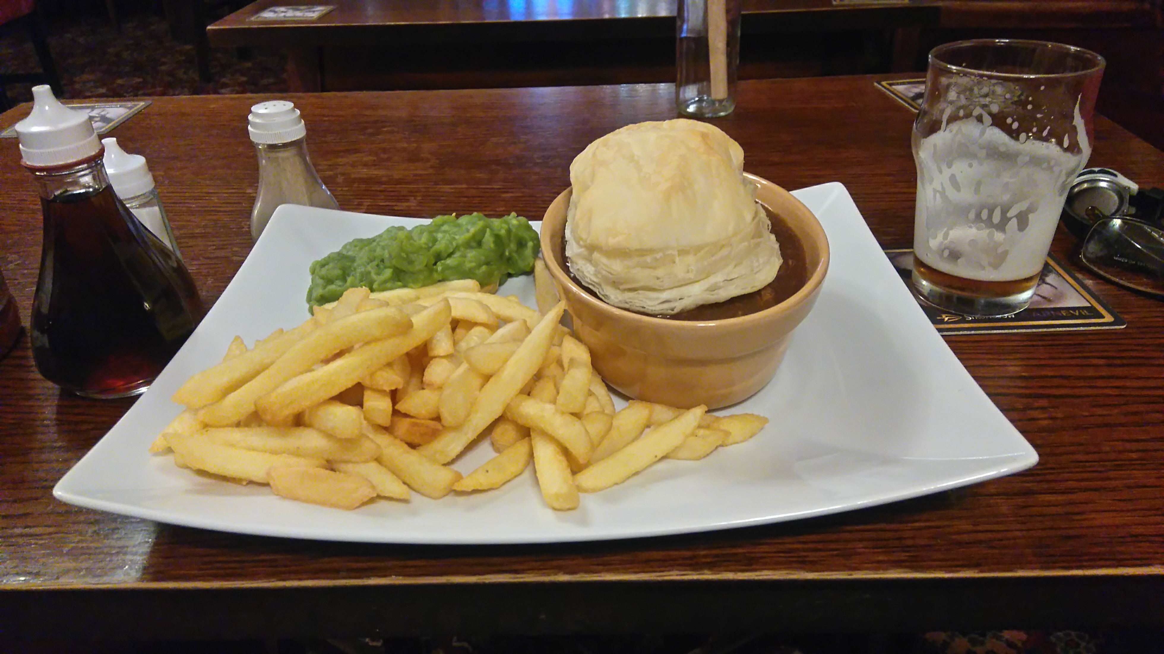
In the village I visited the PYG cafe where I had a nice meal, lots of tea, chatted to the owners and wrote in the PW book.
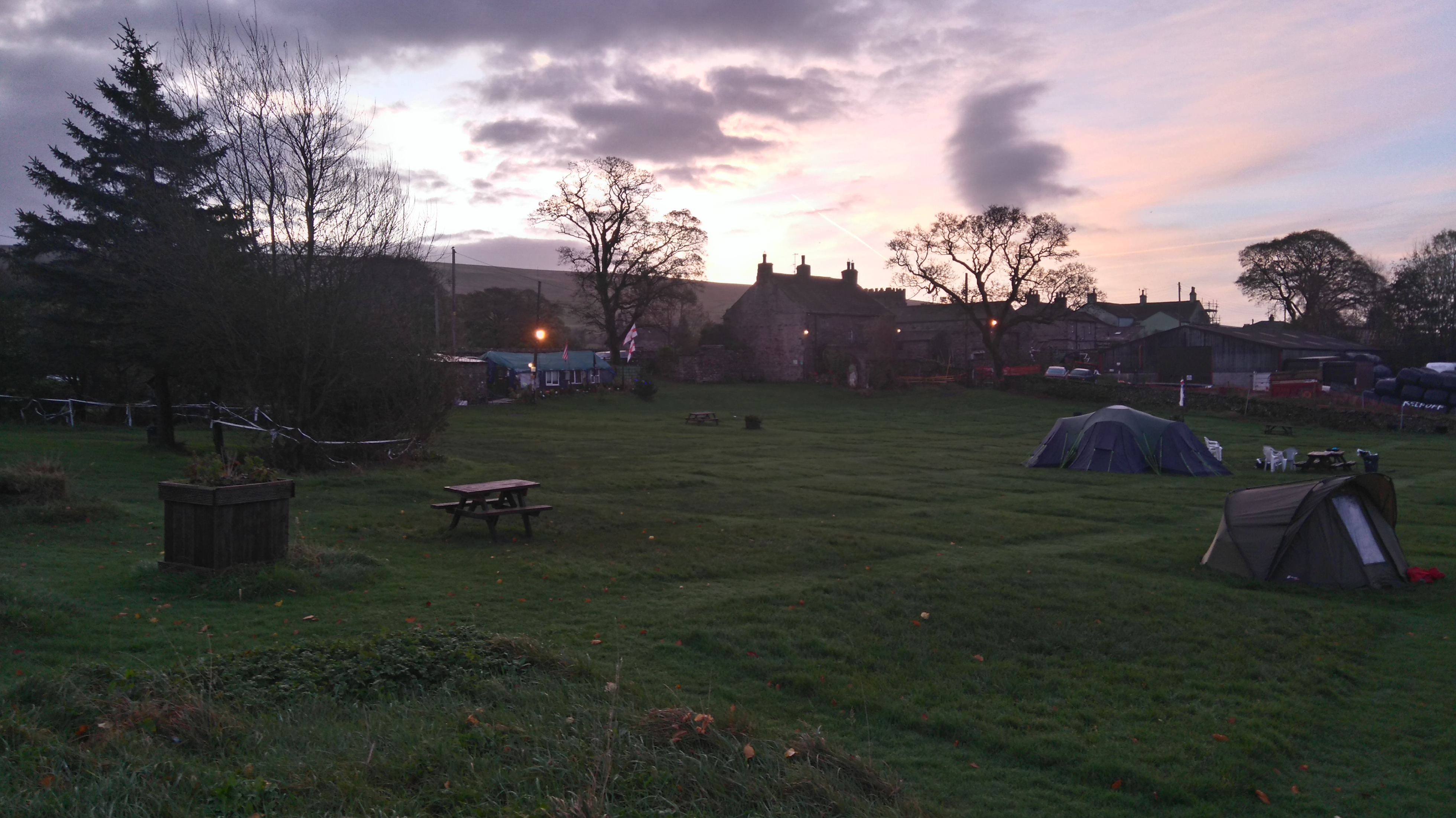
Later I pitched my tent at Holme Farm Campsite, a quirky little site run by an eccentric elderly farmer. The farmer had an old cabin patched up with an odd assortment of items left behind by campers, heated by a wood stove and jam-packed full of furniture and nick-nacks. Campers were welcome to come and relax inside the cabin if they felt adventurous.
I showered, changed into clean clothes, then walked to the pub where I had a nice meal and a beer, and spent the evening reading a book by the open fire.
 |
| Approaching Fountains fell |
 |
| Fountains Fell (a small windbreak) |
After much uphill plodding through heather, avoiding sinkholes and old mine-shafts, and traversing around peat groughs, a small stone windbreak was reached.
 |
| Fountains Fell |
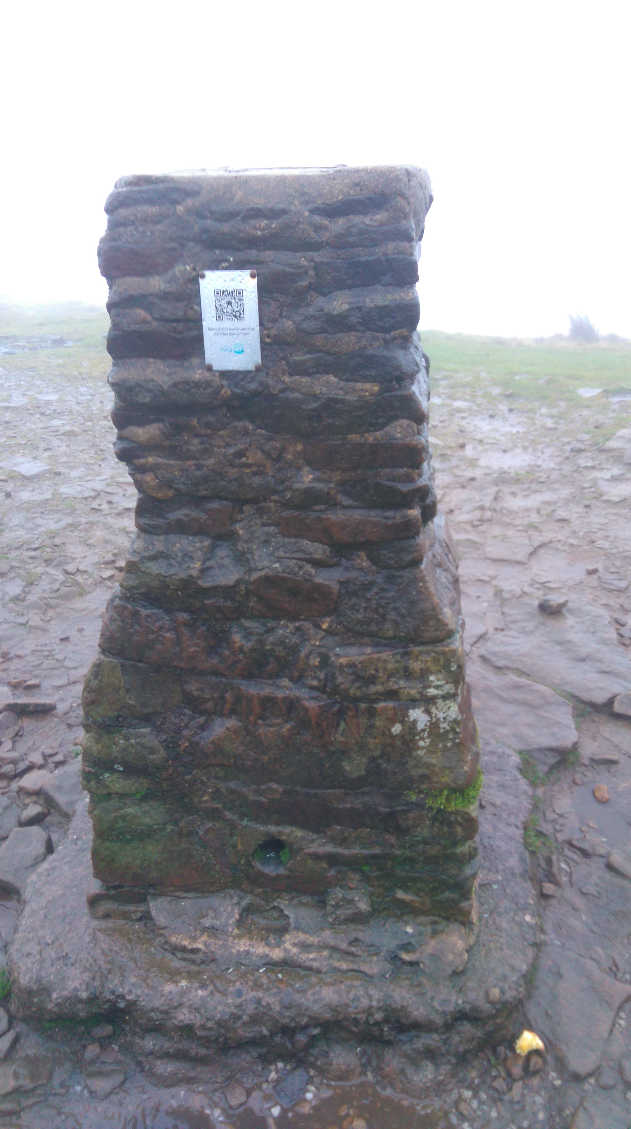 |
| Pen Y Ghent (summit cairn) |
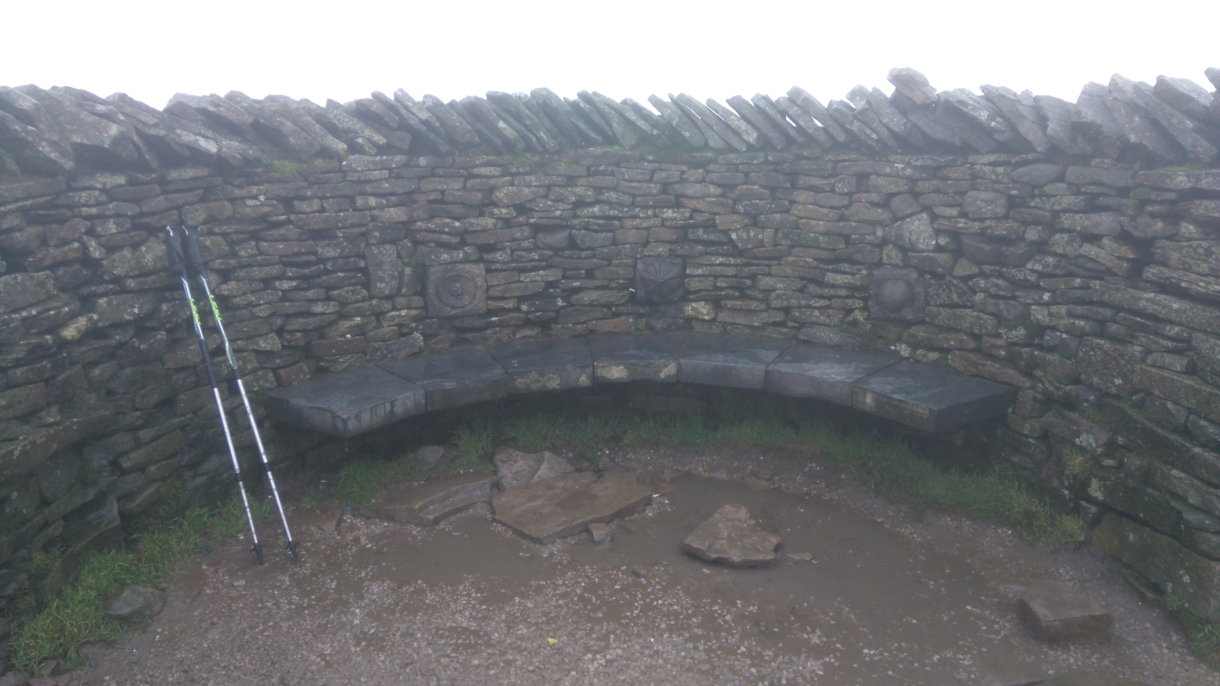 |
| Pen Y Ghent (summit shelter) |
 |
| Descending Pen Y Ghent |
 |
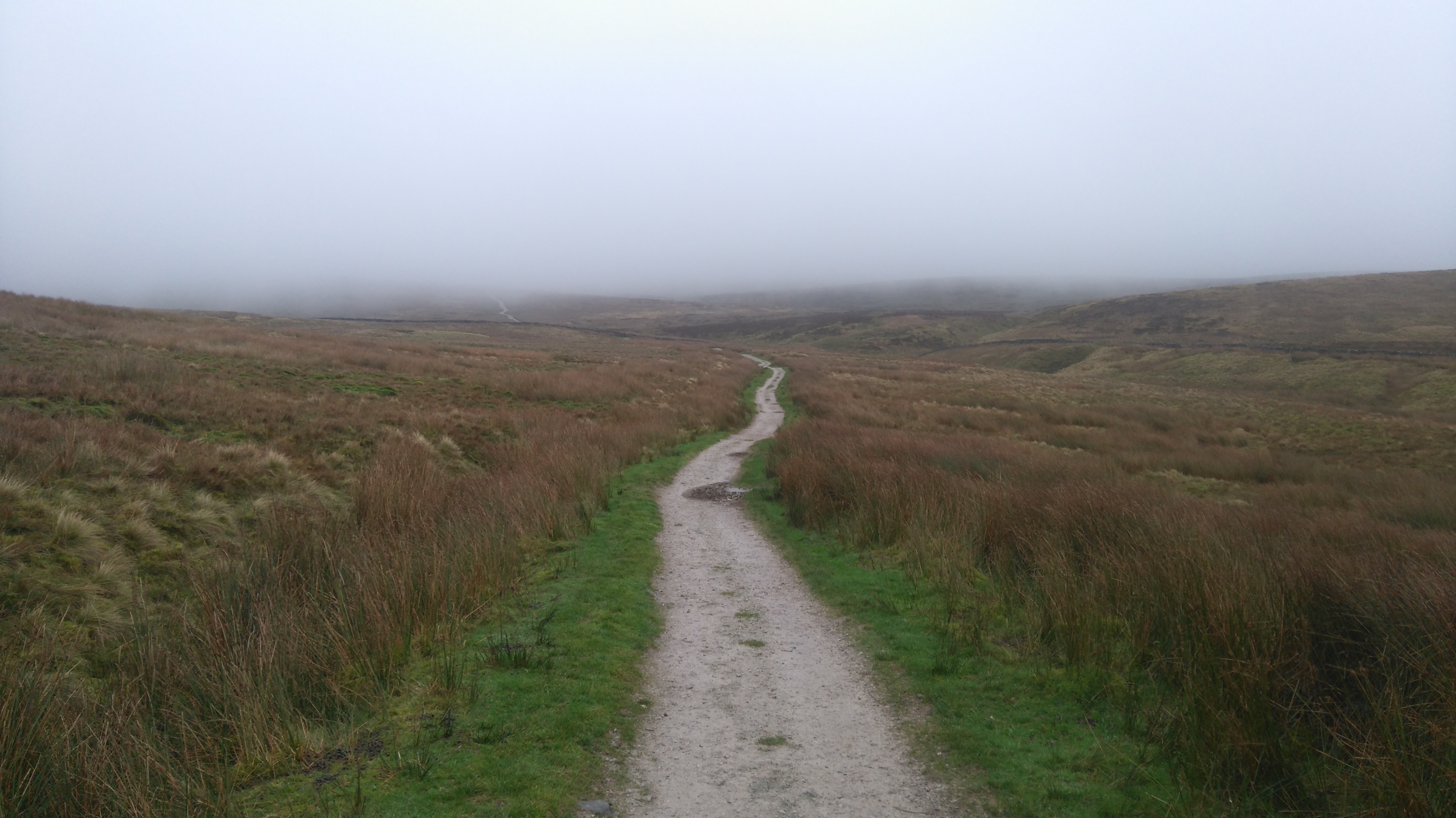
| Near Horton in Ribblesdale |
The end is near, though that mile and a bit seemed to take forever.
 |
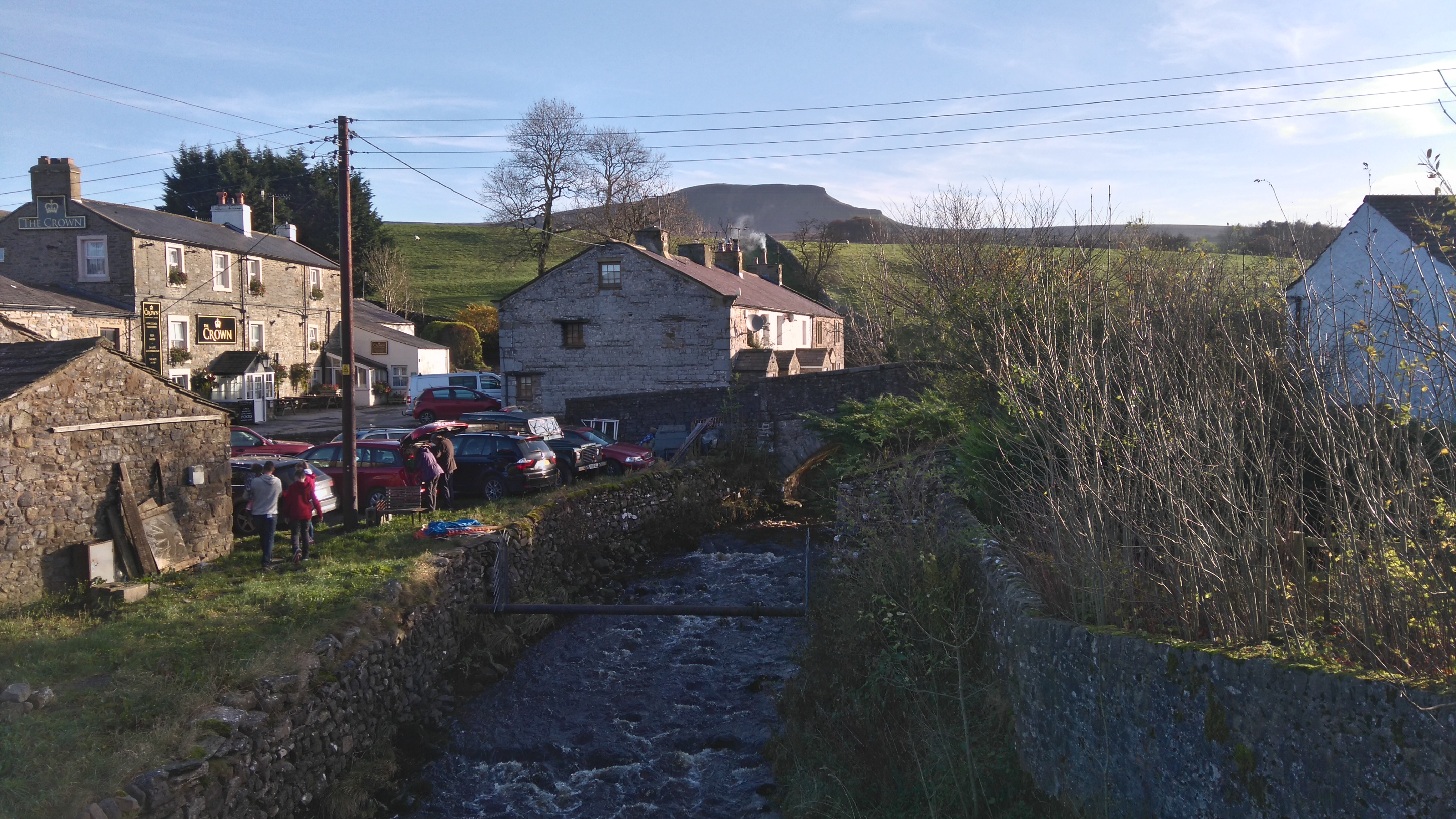
| The Golden Lion Pub |
Time for a proper meal and a pint of Yorkshire ale in a warm pub...
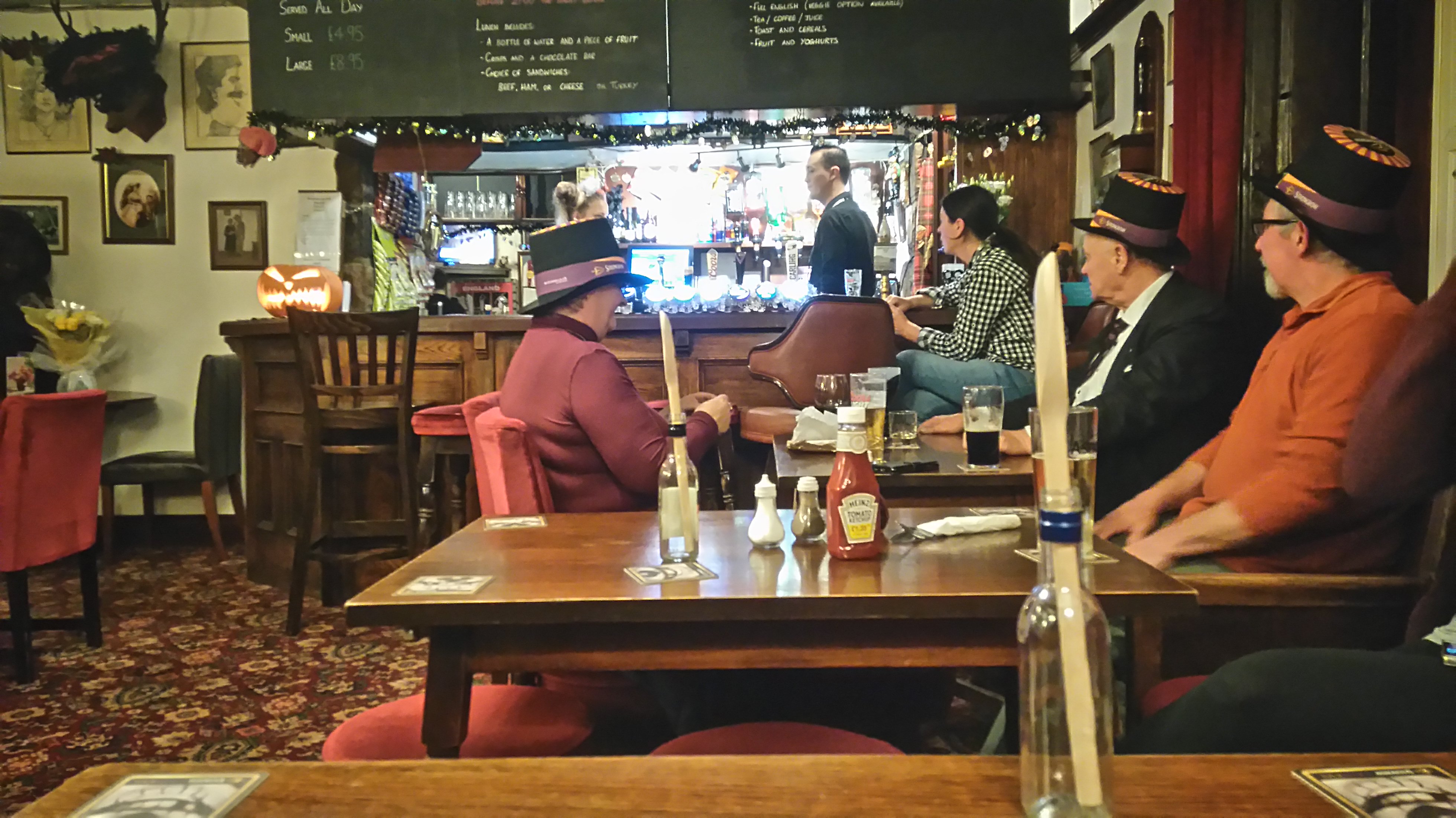 |
| Horton in Ribblesdale (the Golden Lion) |
...where we all had to wear funny hats...some kind of Halloween thing.
The wet and windy weather had blown over and Pen y Ghent looked striking and innocent under a big blue sky.
I packed up and had breakfast in the PYG Cafe, chatted to other hikers, then walked up to the station to wait for the train to Ribblehead.
I had some time to spare so decided to visit the Ribblehead viaduct. After enjoying the views and taking a few pictures, I boarded the train south to my hometown in Worcestershire.
 |
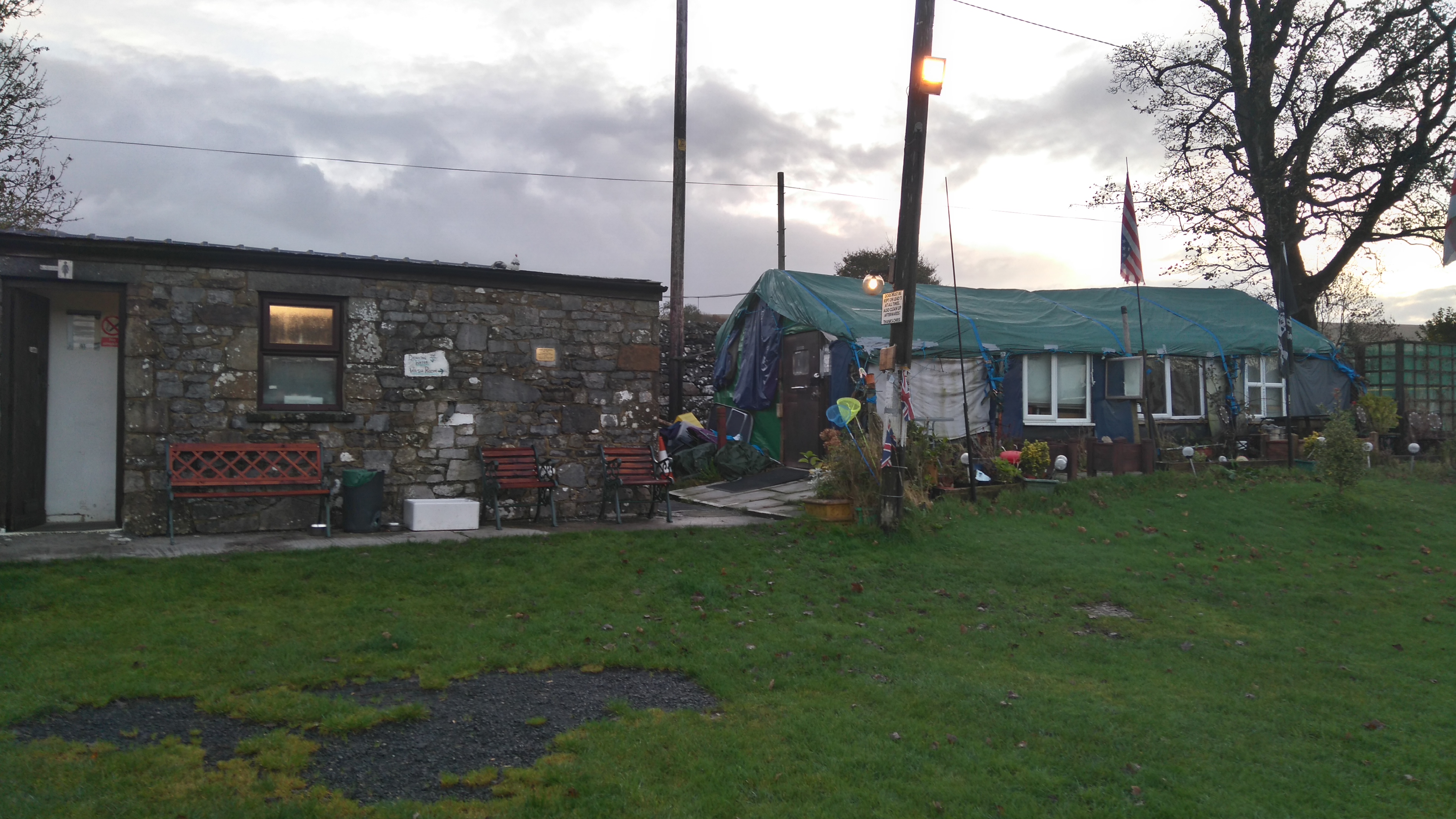
| Horton in Ribblesdale (Holme Farm) |
A nice quirky little campsite (Holme Farm) with basic facilities but the option to have a chill and a chat in the owner's cosy cabin.
 |
| Horton in Ribblesdale (Holme Farm) |
 |
| Horton in Ribblesdale (Holme Farm) |
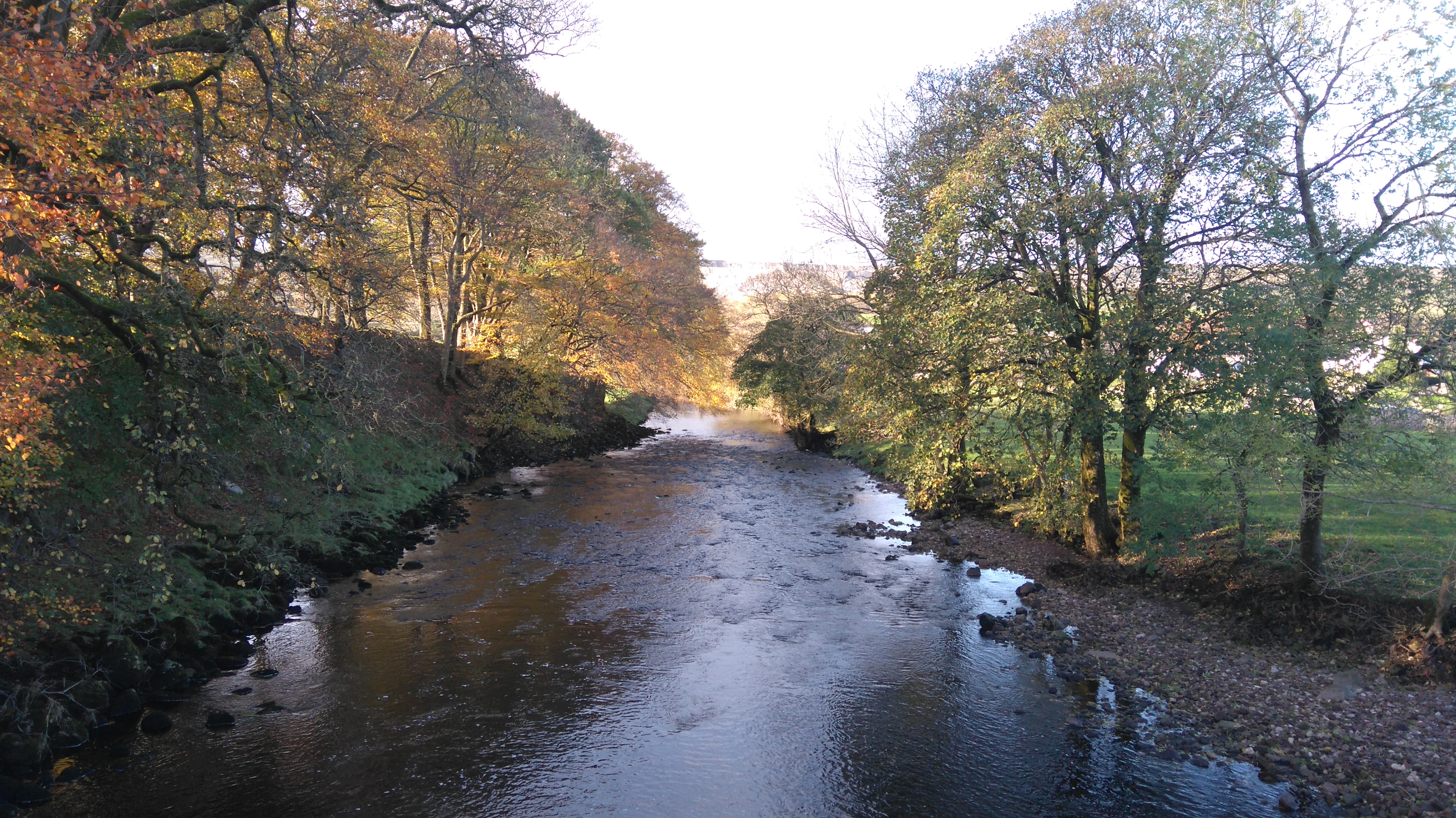 |
| Horton in Ribblesdale (the river Ribble) |
 |
| Horton in Ribblesdale |
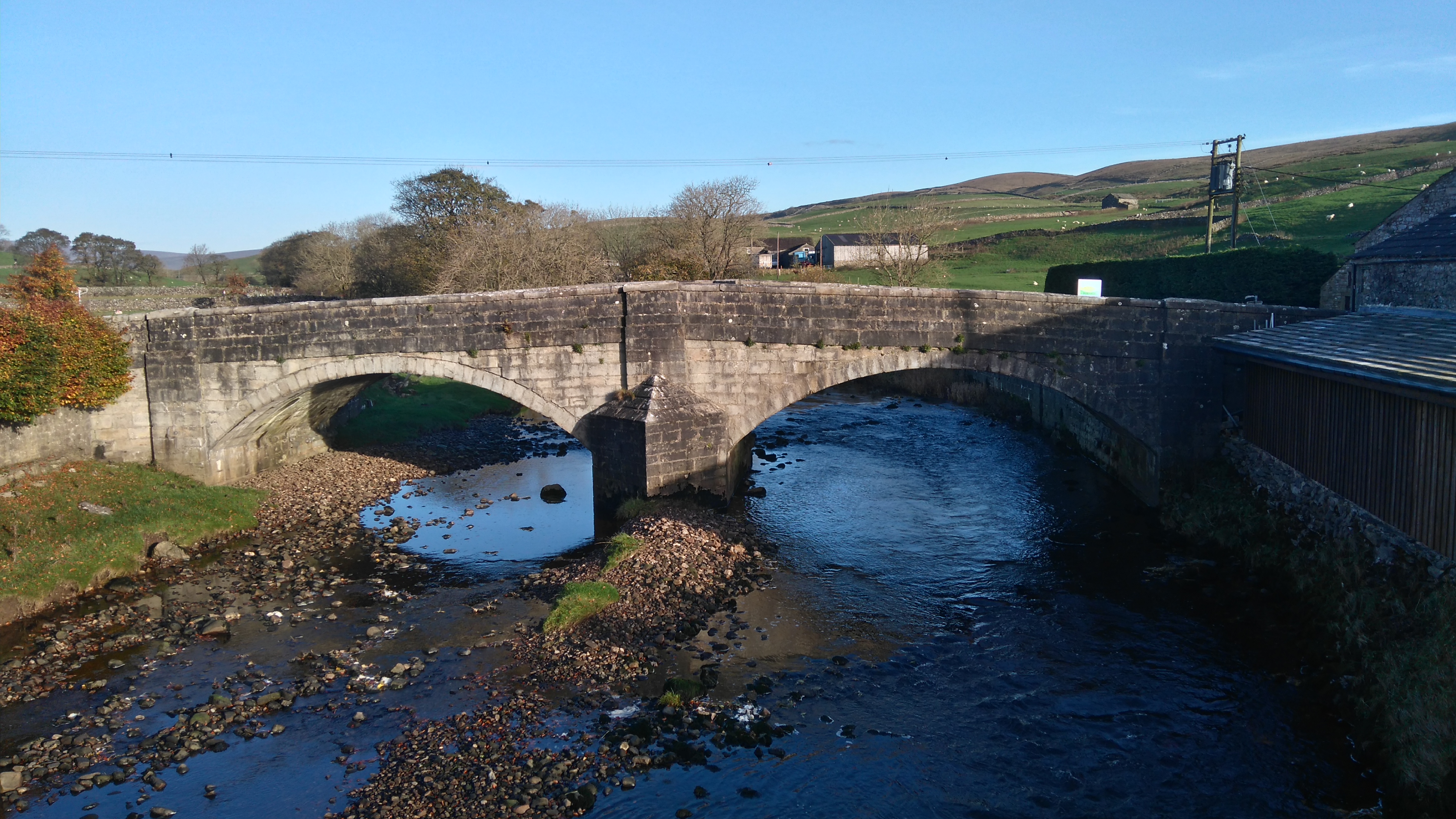 |
| Horton in Ribblesdale (the river Ribble) |
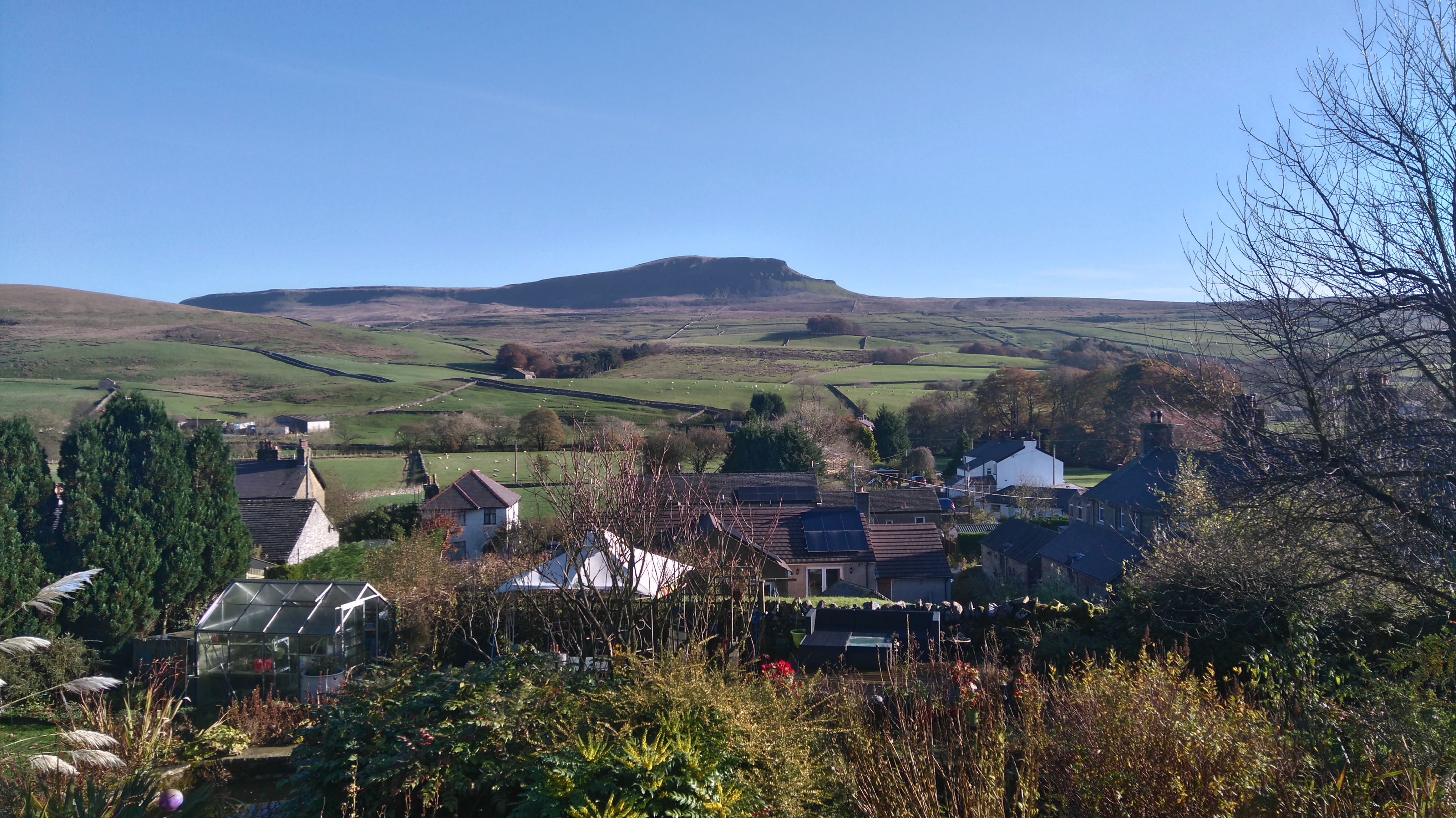 |
| Horton in Ribblesdale (looking at Pen Y Ghent) |
 |
| Horton in Ribblesdale |
Thanks for reading! 😊
Taz, autumn 2017
➖➖➖➖➖➖➖➖➖➖➖➖➖➖➖➖➖➖➖➖➖➖➖➖➖➖➖➖
PS: I wrote the PW1 and 2 diaries 4 years later, after completing the whole PW. I tried to recall the trip from memory and by looking at pics and maps. I wrote it quite fast, as that seems to work best, and tried to keep it short. Though it definitely isn't my best writing, I thought it deserved more than a collection of poor quality phone pics and a few sentences.
.JPG)
.JPG)
.JPG)
At Cludders Slack rocks you were some way off the PW but on the Pennine Bridleway. I assume you knew about it as a possible camping spot?
ReplyDeleteYes I thought it might provide a good spot to camp and it certainly was.
ReplyDelete