Dippy dopey daft daring duo. We were happy, honest!
Day one: Horton to Ling Gill Bridge 5 miles.
Weather: wet and windy, dry in the evening.
A day of train travel, wet and windy hiking, flooded paths, deep potholes, a stunning ravine and a wild-camp by the stream.
Highs:
A comfortable train journey
A good camping spot
Lows:
Heavy rain
No views
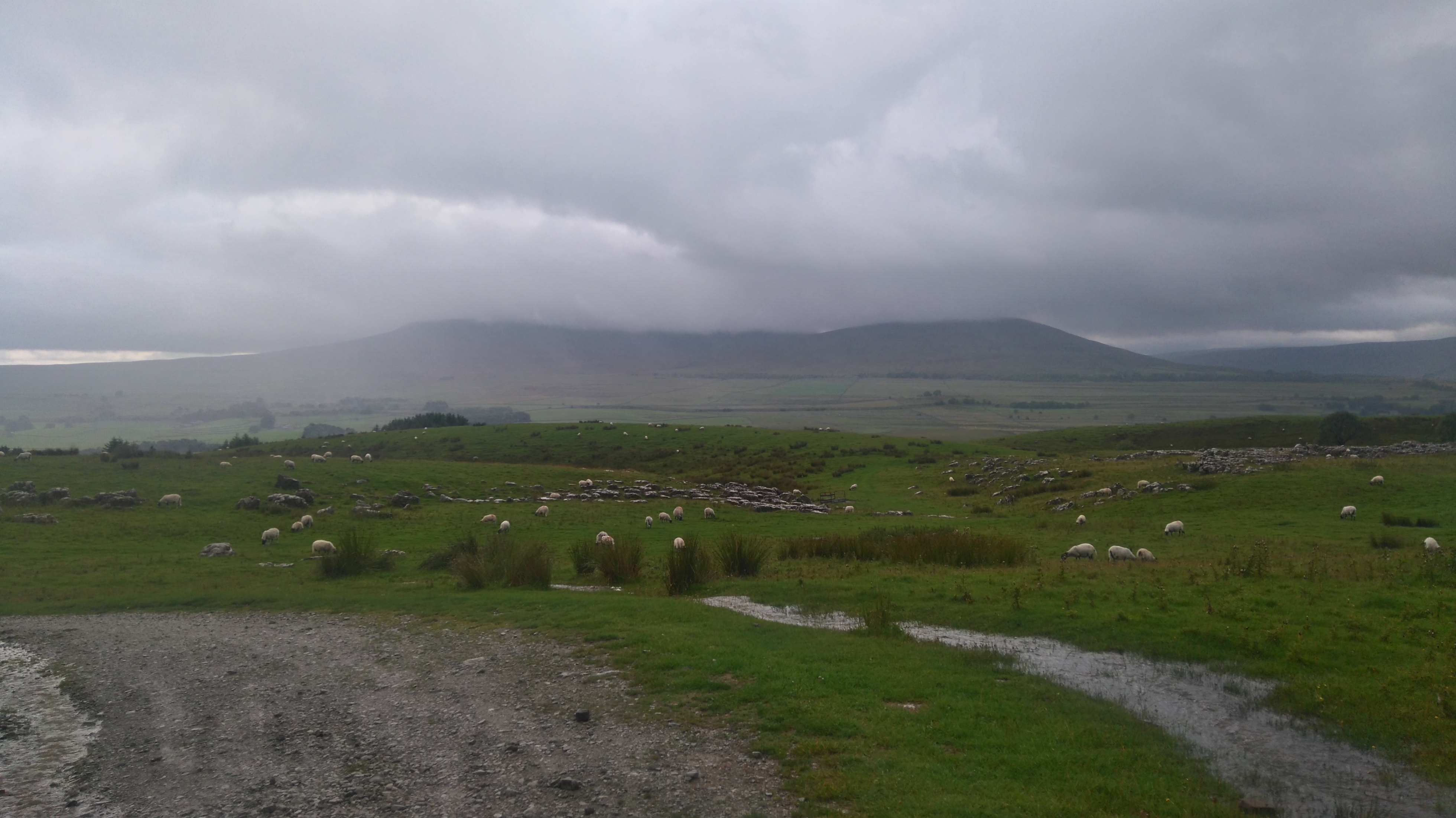
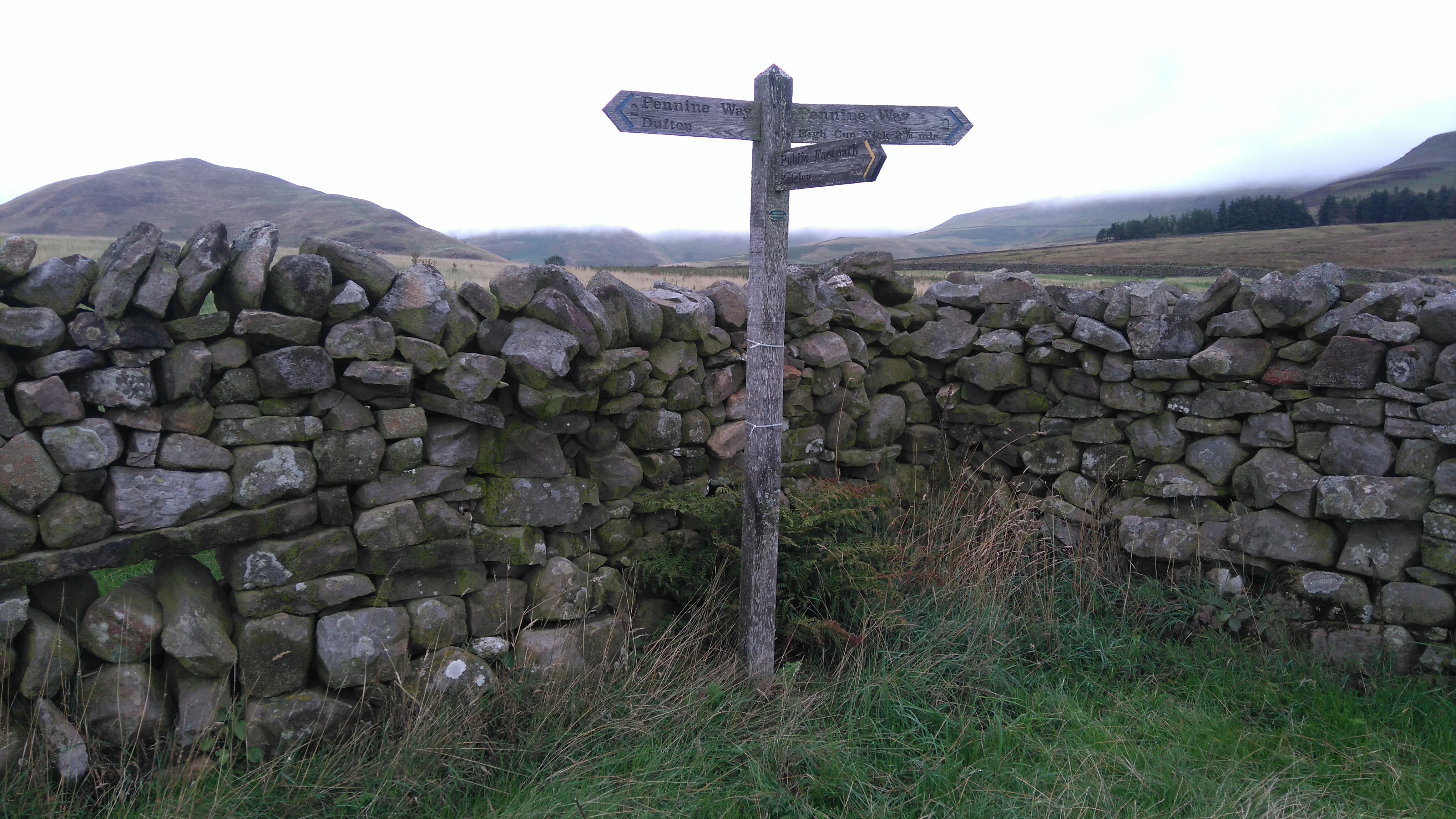
PW3 day 1
Diary day one:
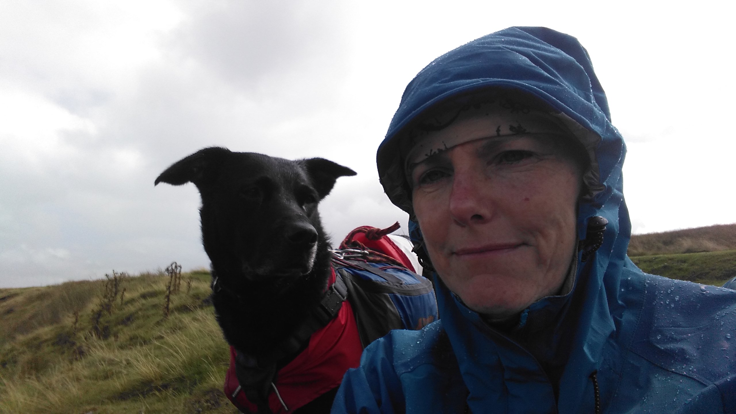
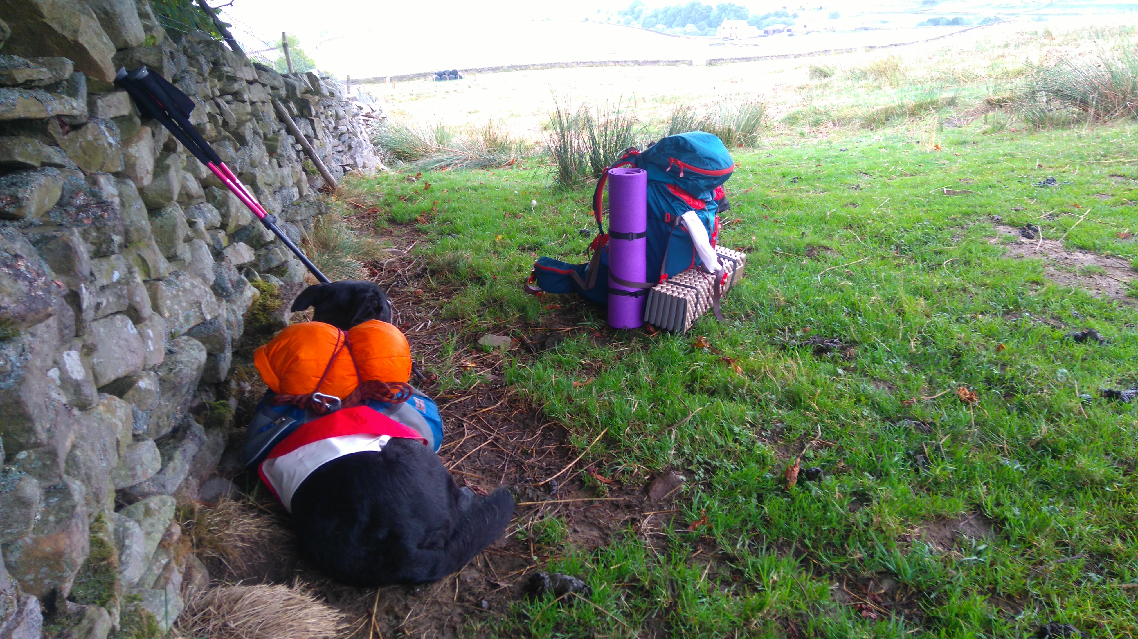
After a long, but comfortable, train journey me and a faithful Labrador-cross called Lola, my son's dog, arrived in Horton-in-Ribblesdale.
Unfortunately, soon after setting off it started to spit then rain heavily for several hours, which didn't fill me with much enthusiasm for the rest of the trip. Dark thoughts of turning back while still near a railway station were eventually dispelled from my mind; surely it won't rain for a week, the forecast said changeable, not monsoon season.
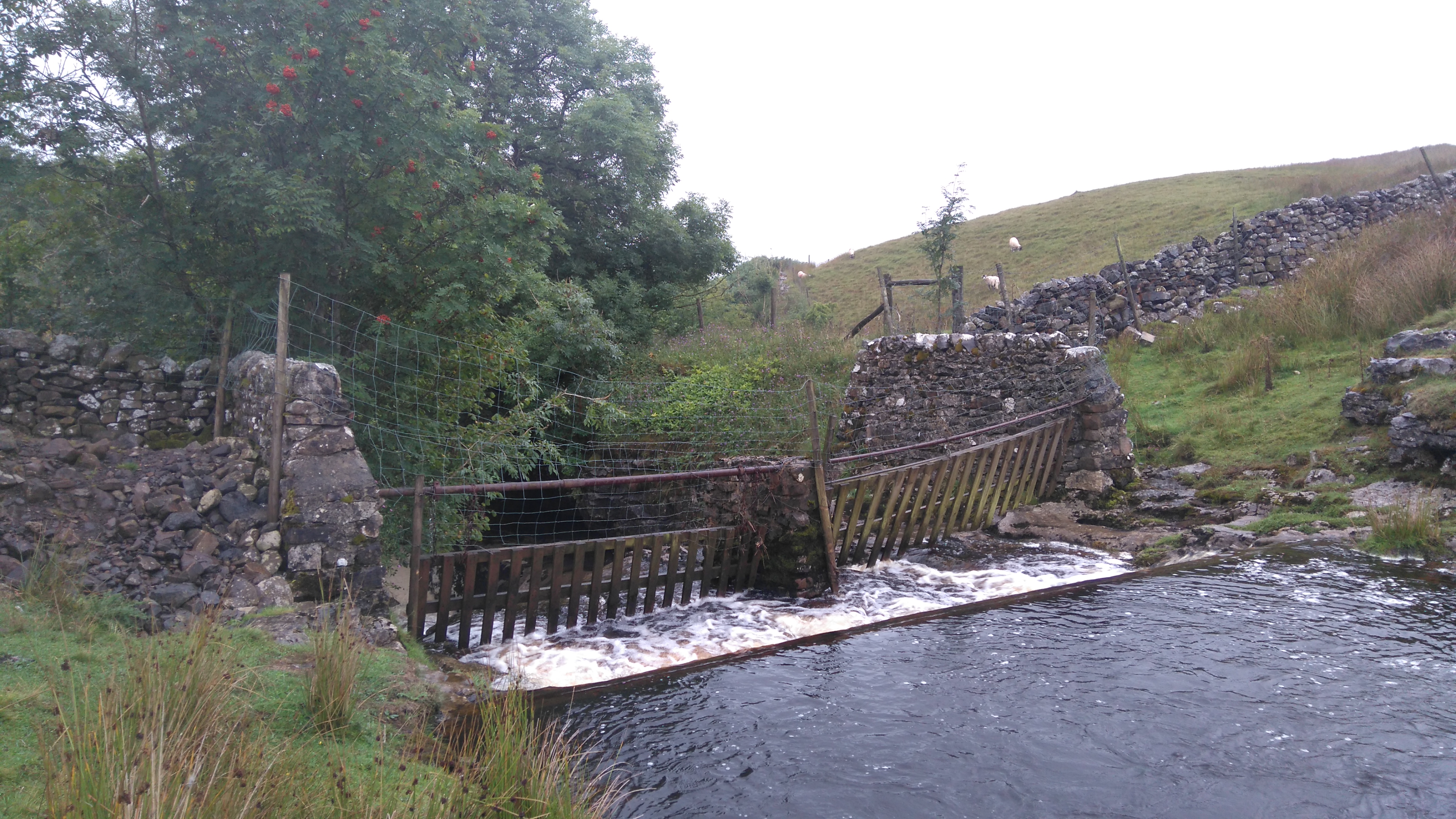
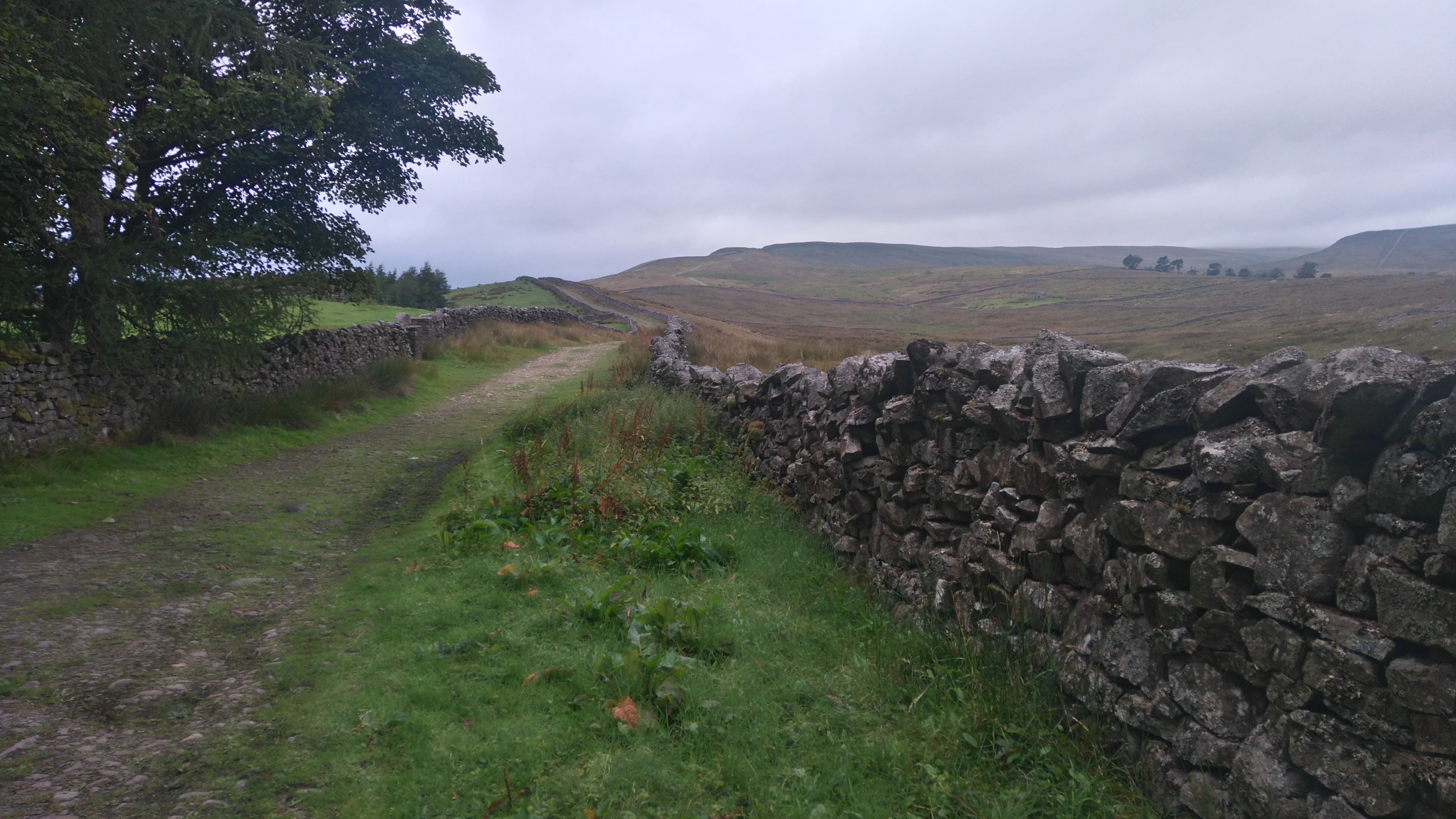
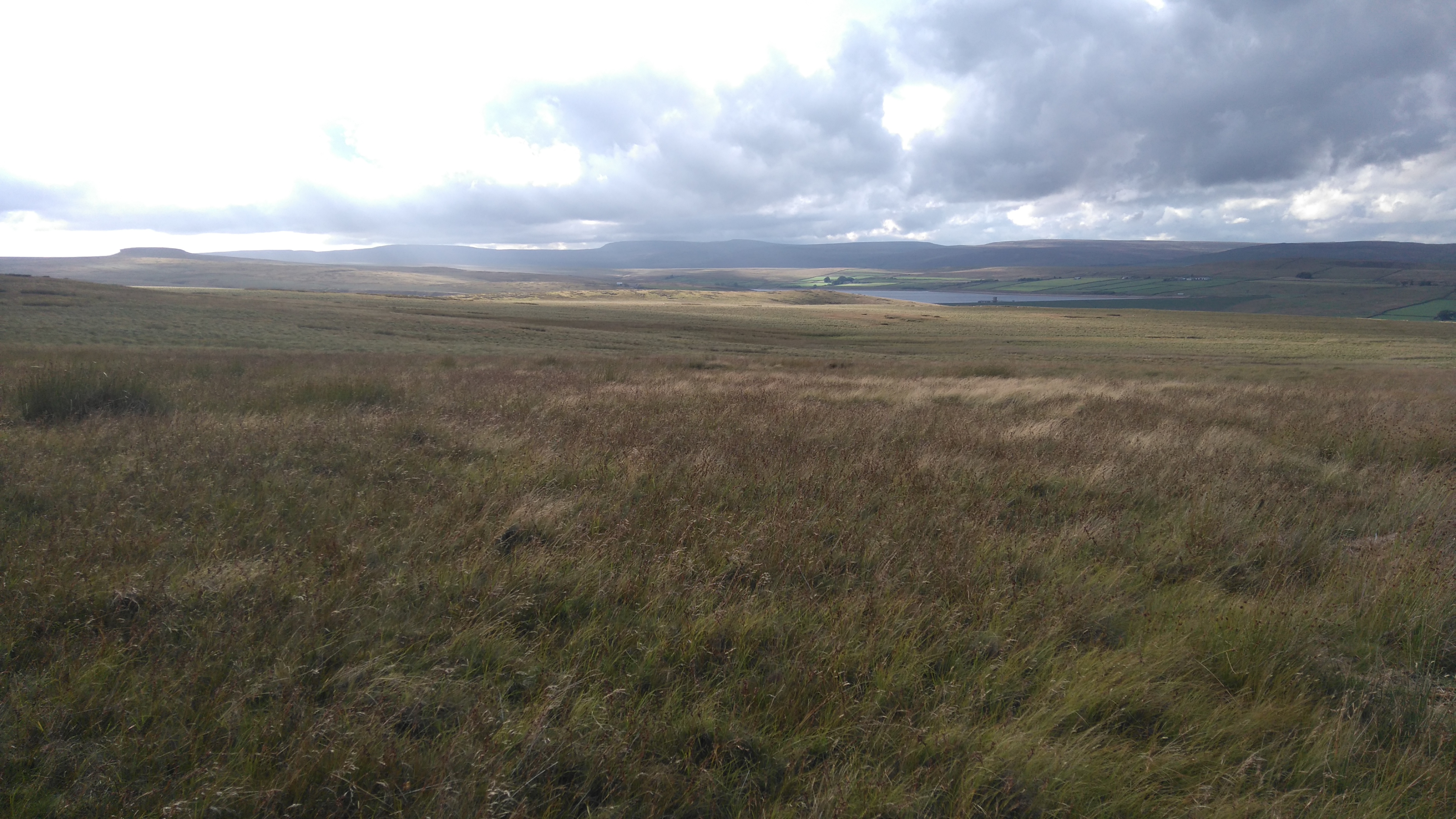
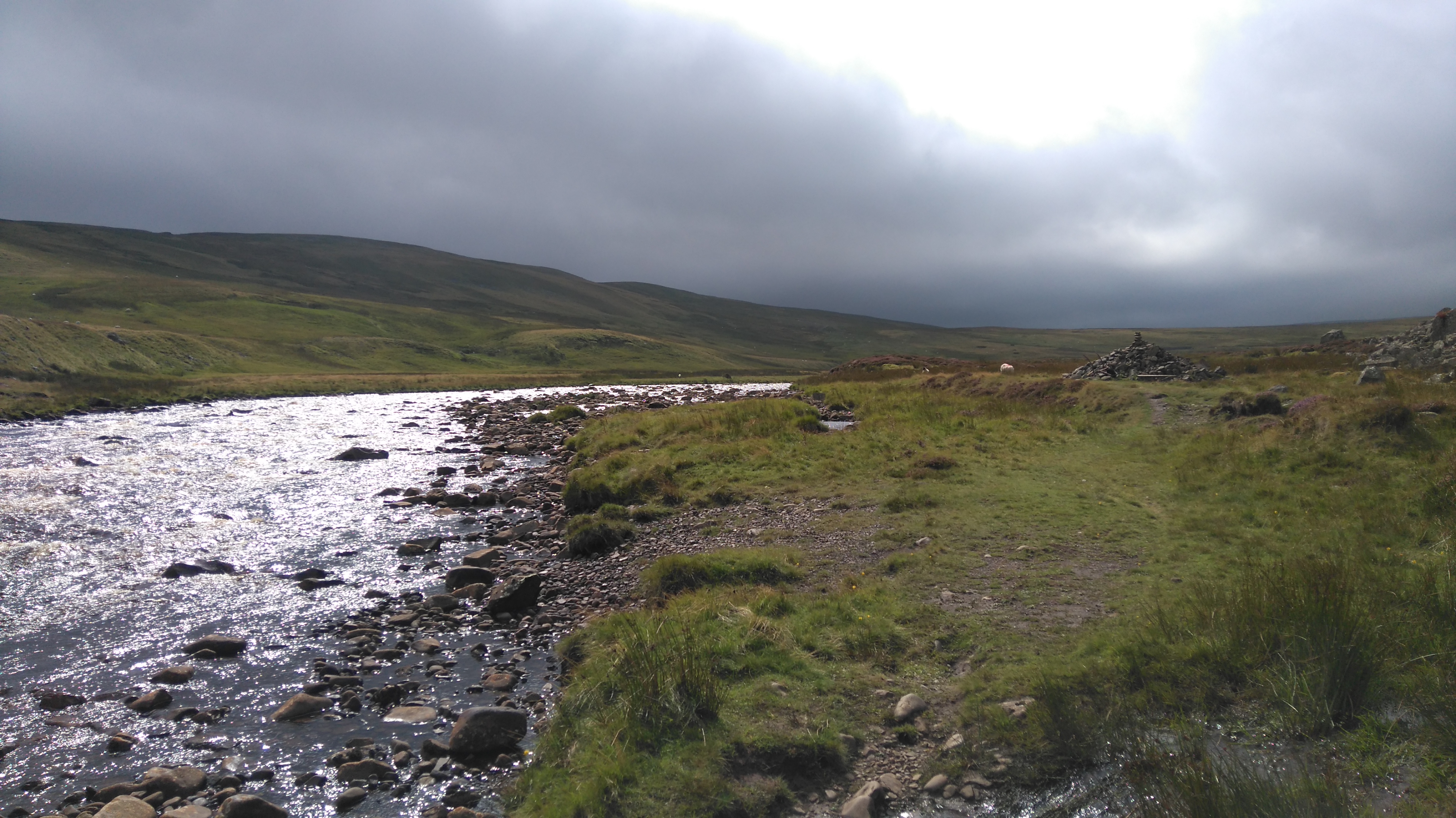
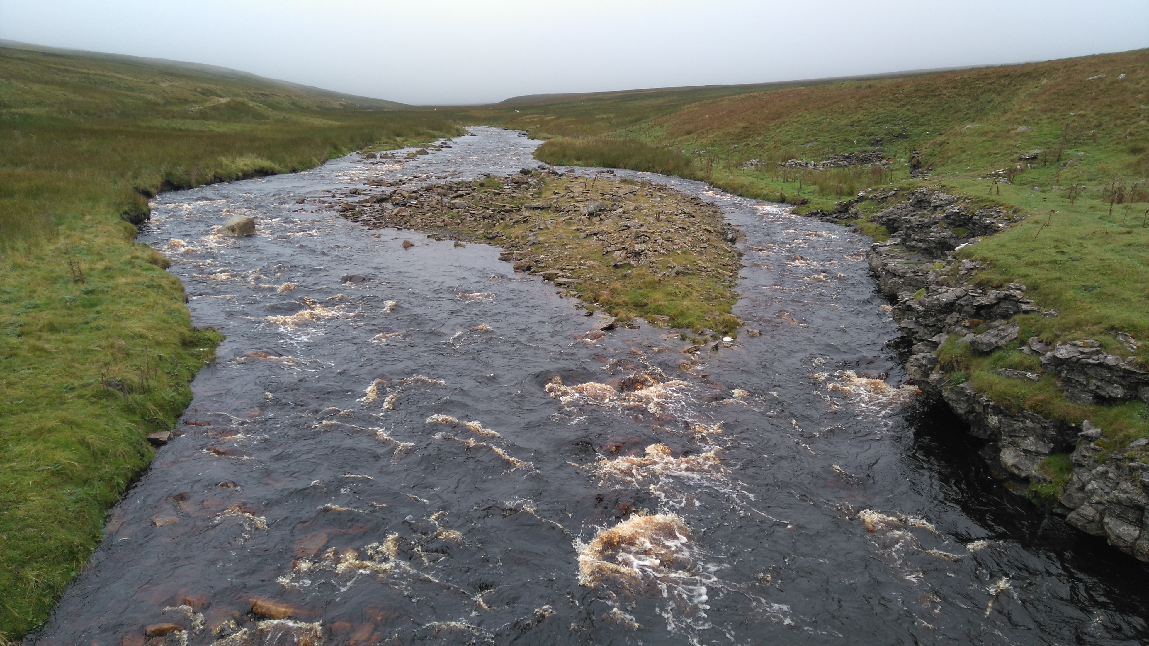
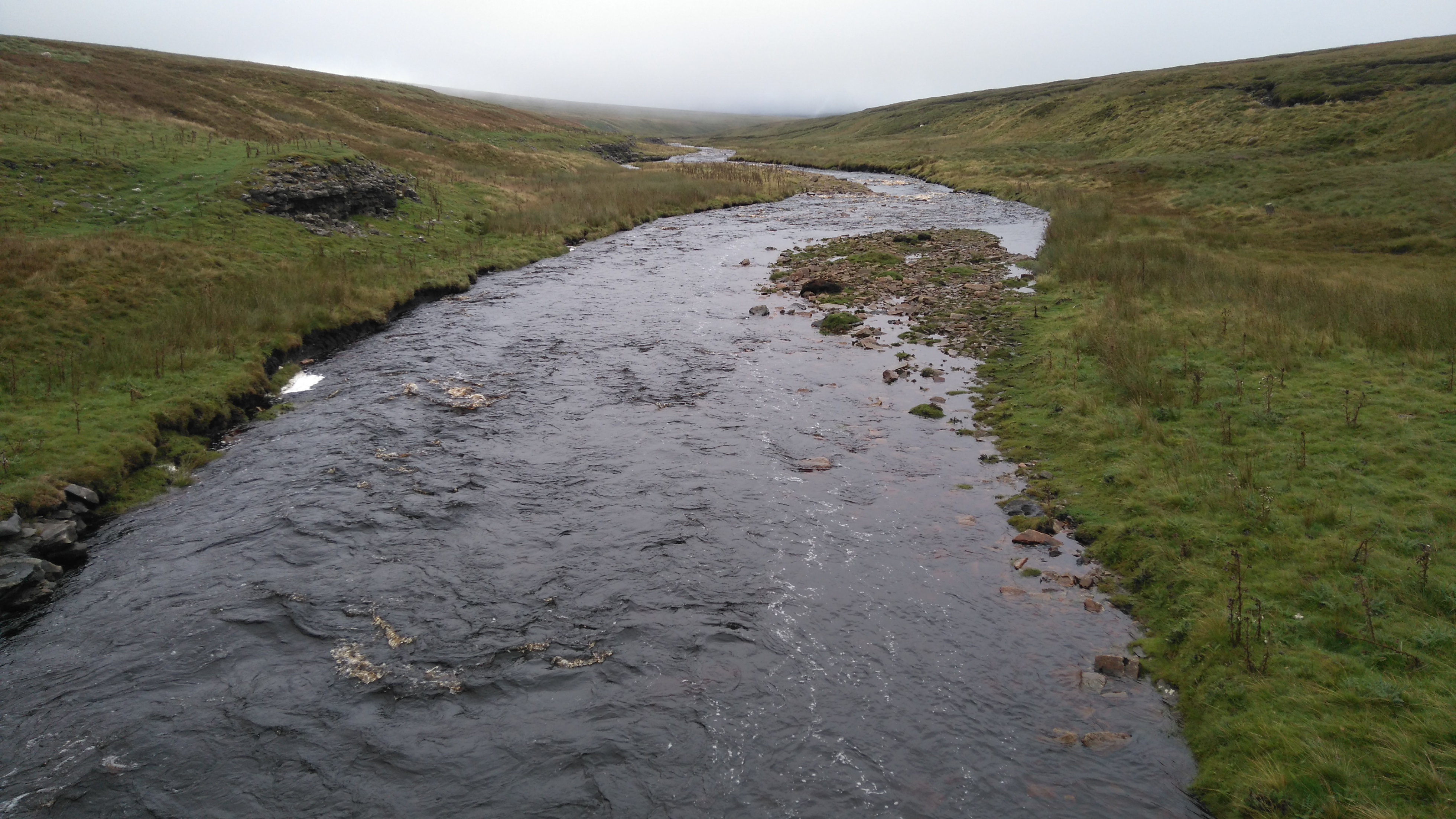
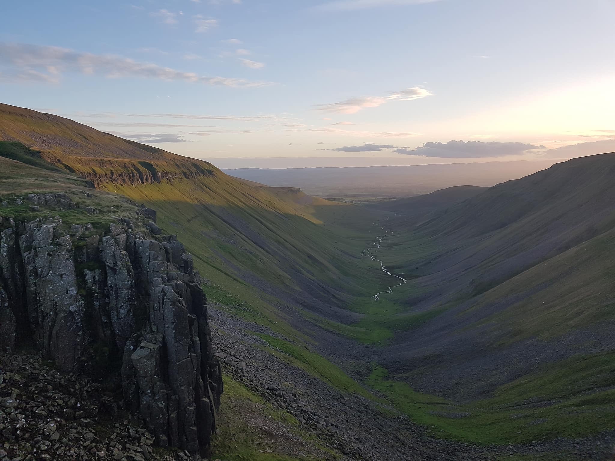
A few miles along the 'Cam Road' (a roman road and old drovers' track), a stream had turned into a raging torrent plunging into the depths of a deep pothole called Calf Holes, an impressive sight and sound.
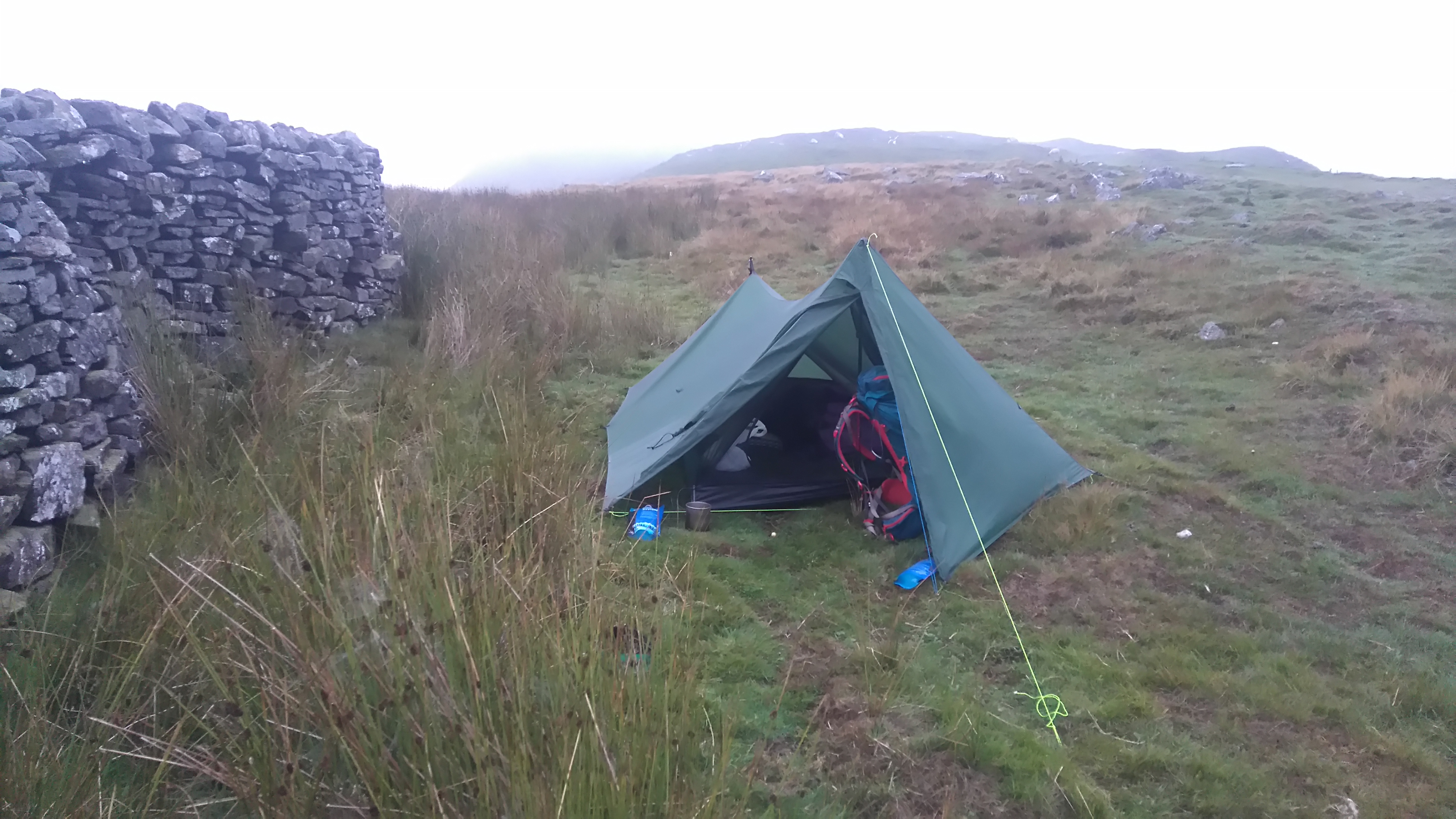
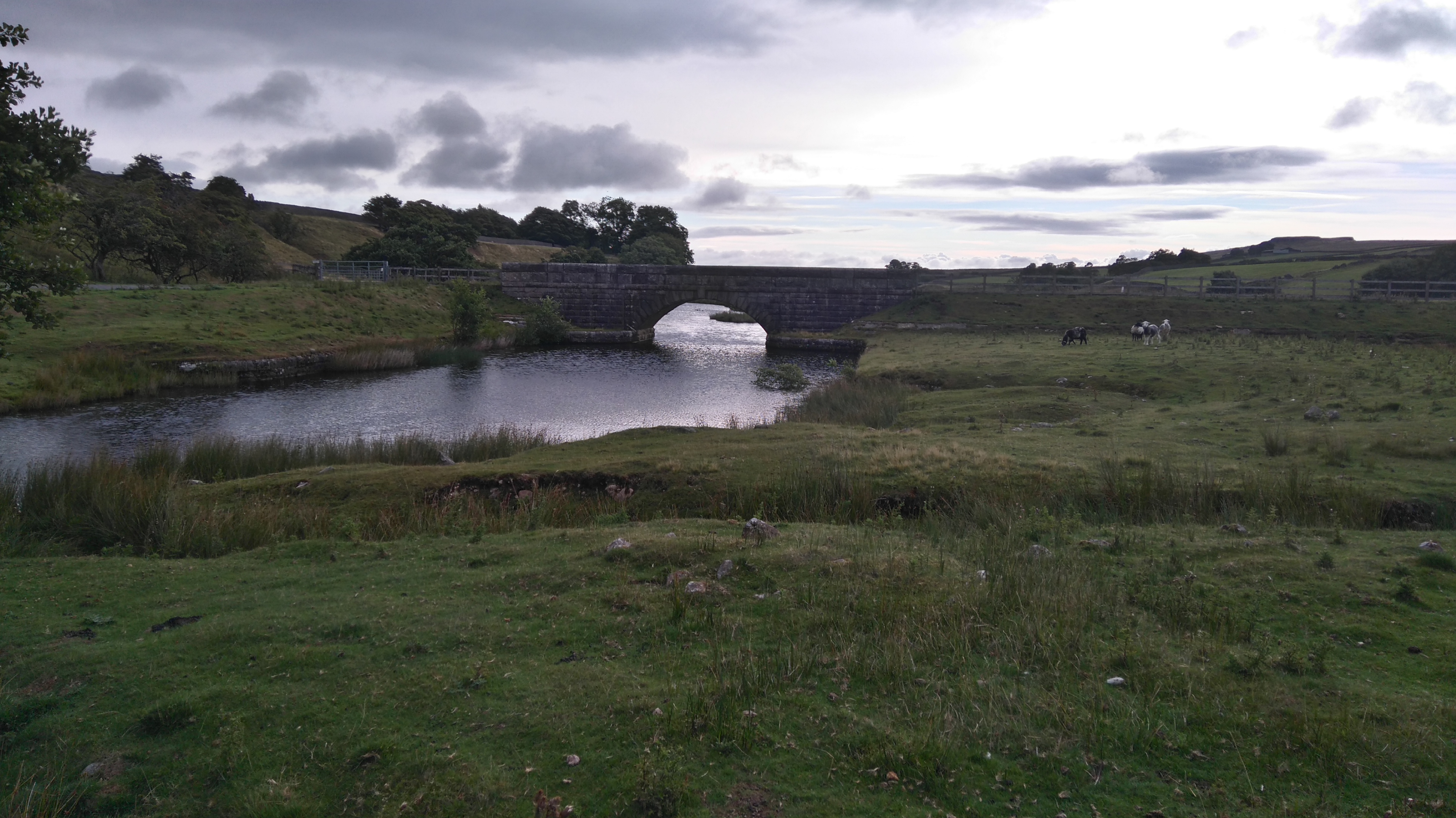
Thankfully the deluge stopped just before we got to Ling Gill Bridge, a good spot to pitch up, giving us chance to set up camp and have a look at the Ling Gill Ravine.
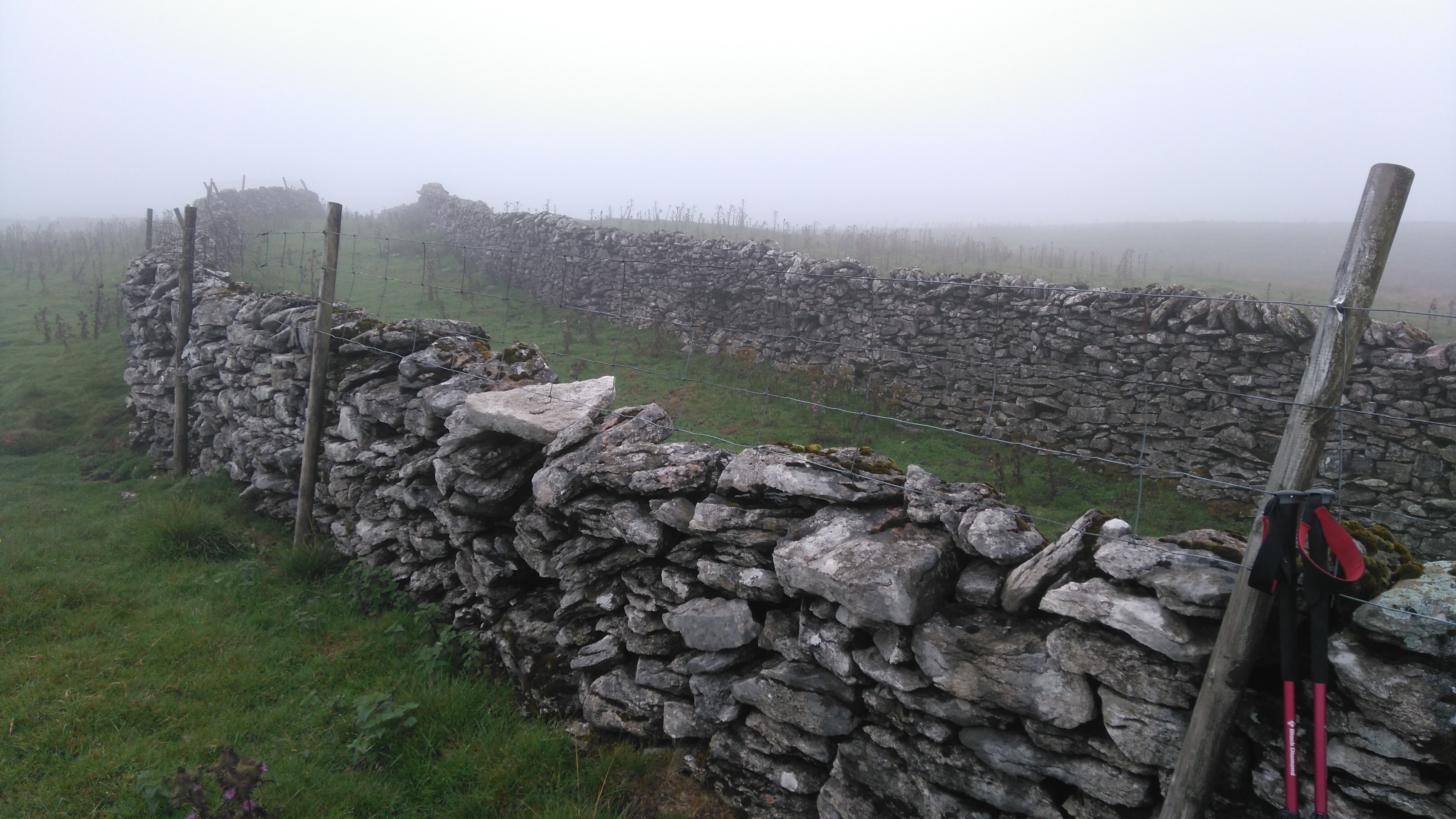
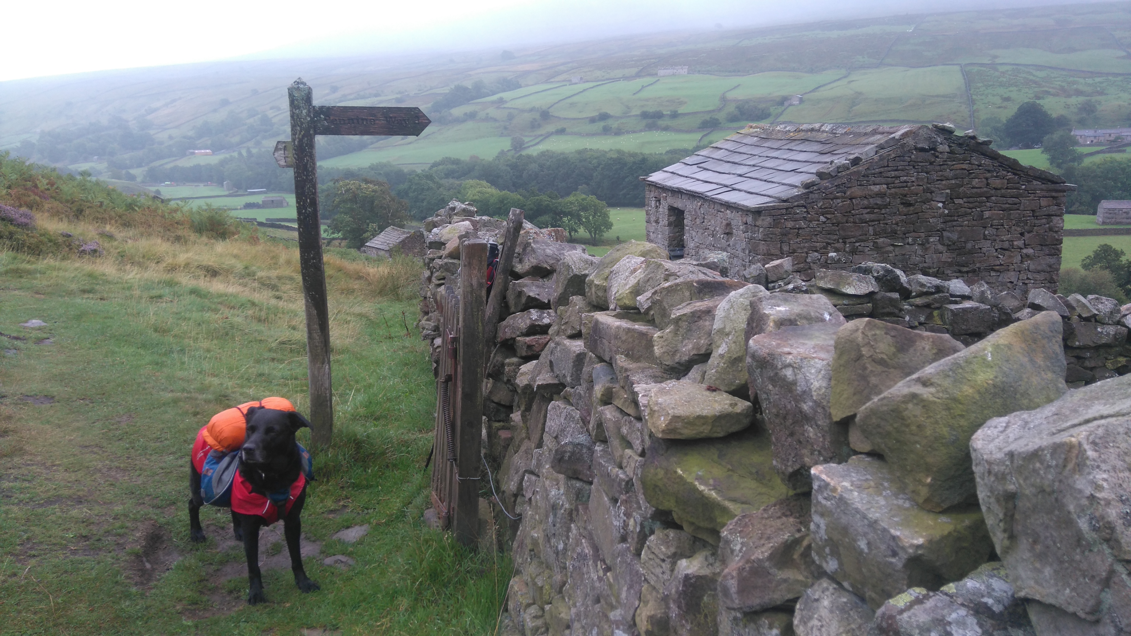
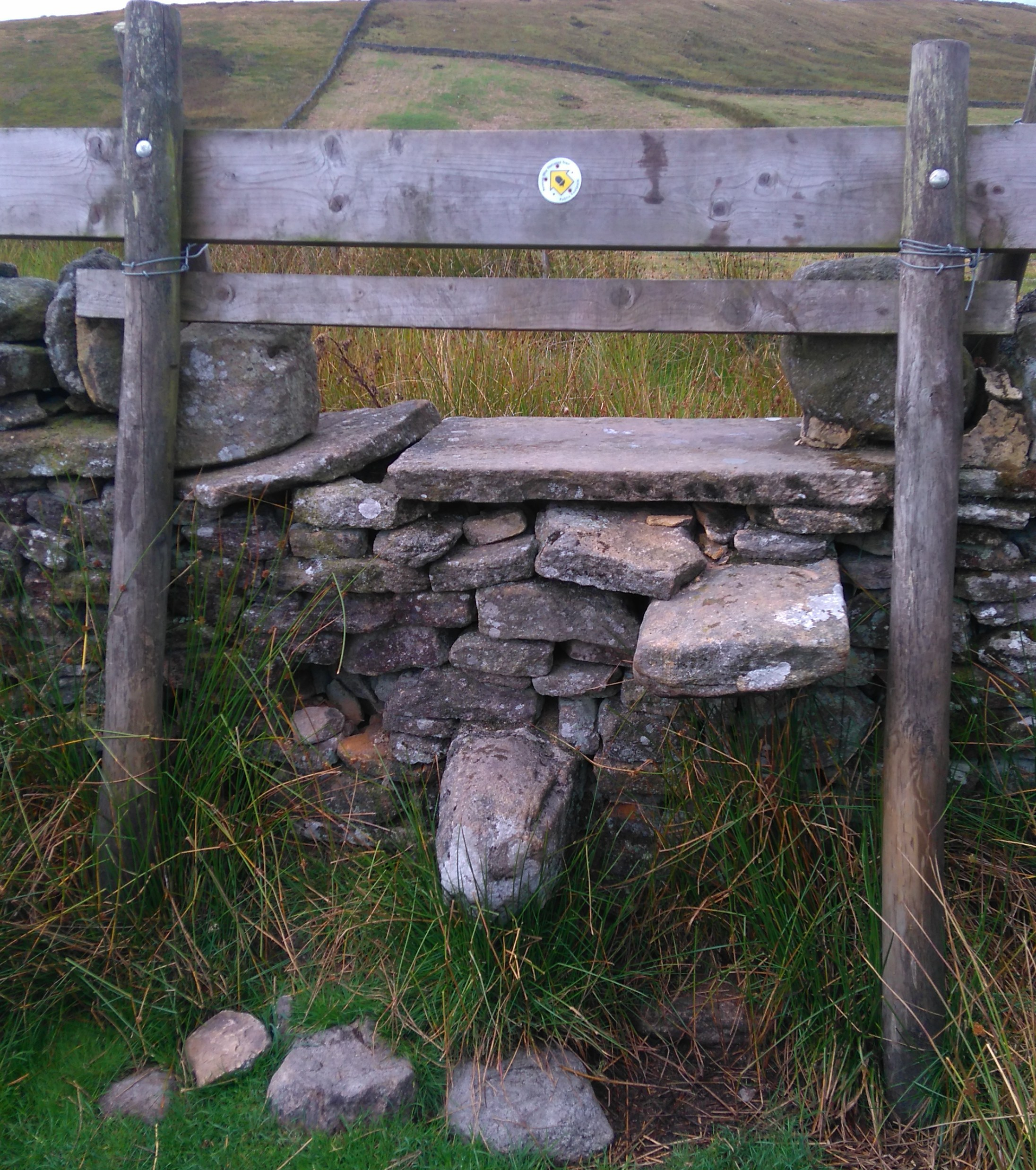
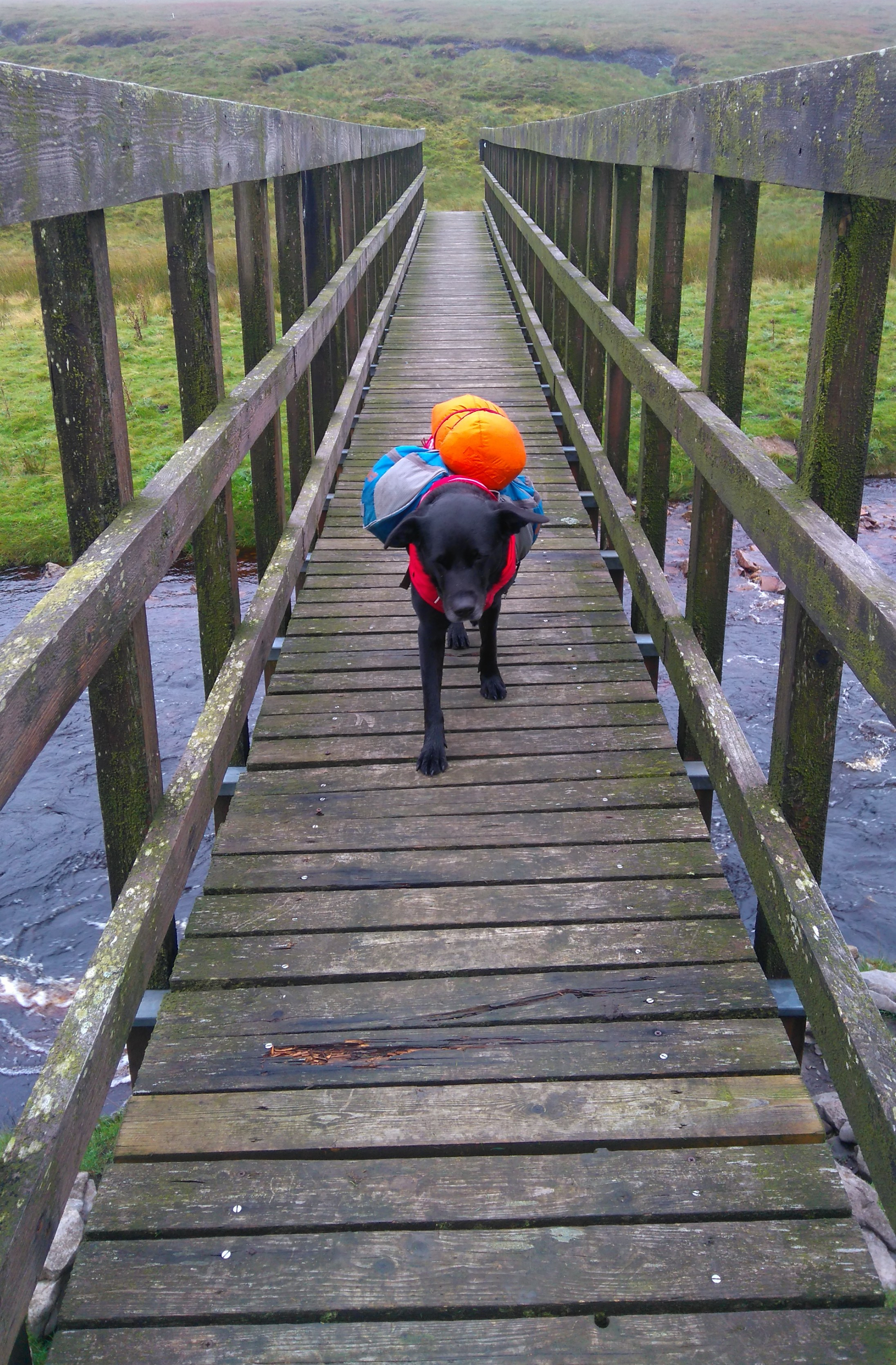
Setting off in Horton
The foot-bridge over the river Ribble
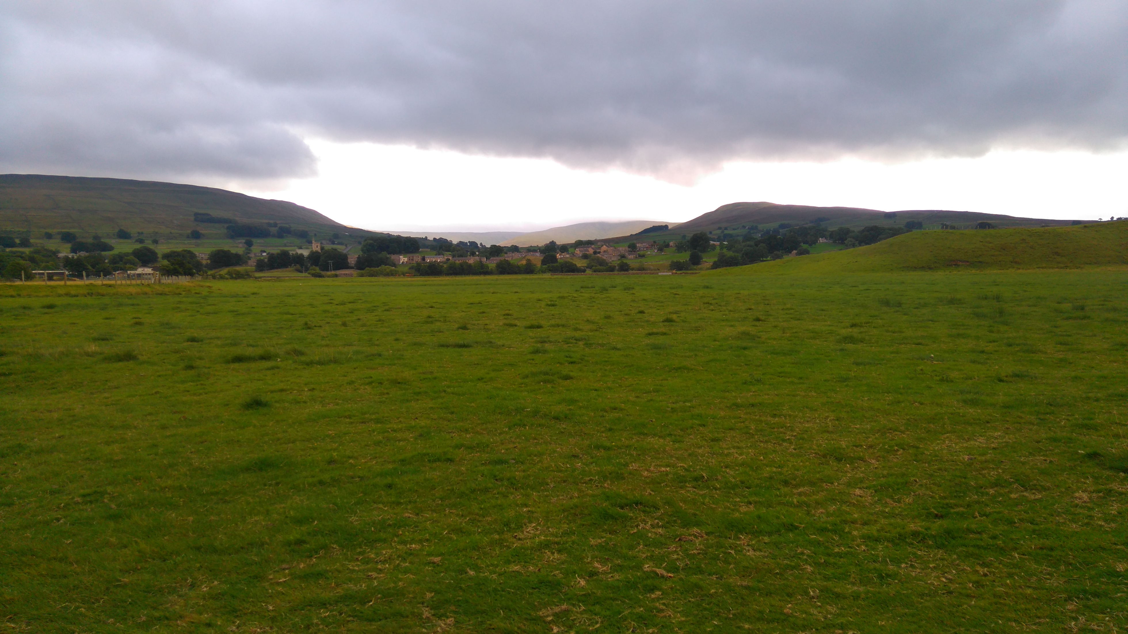
Ingleborough?
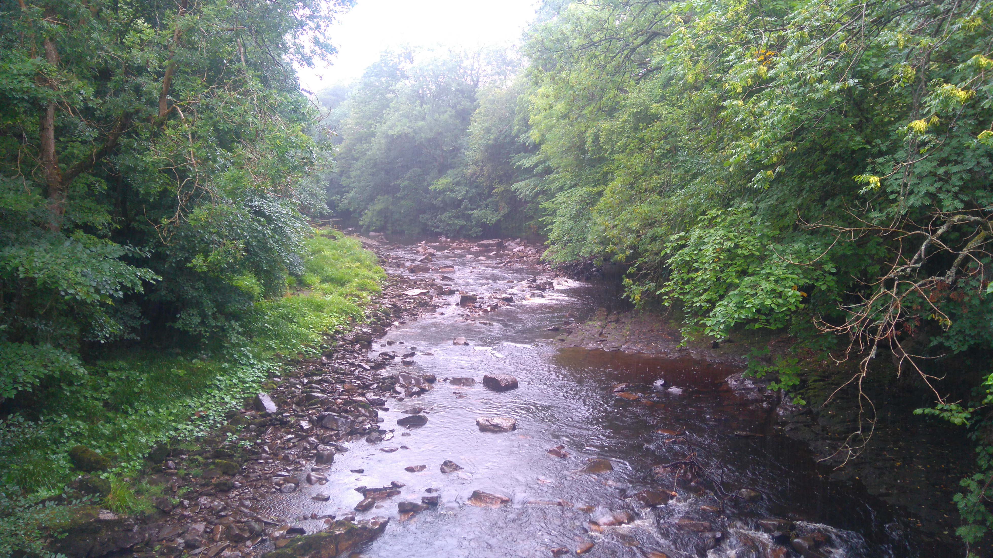
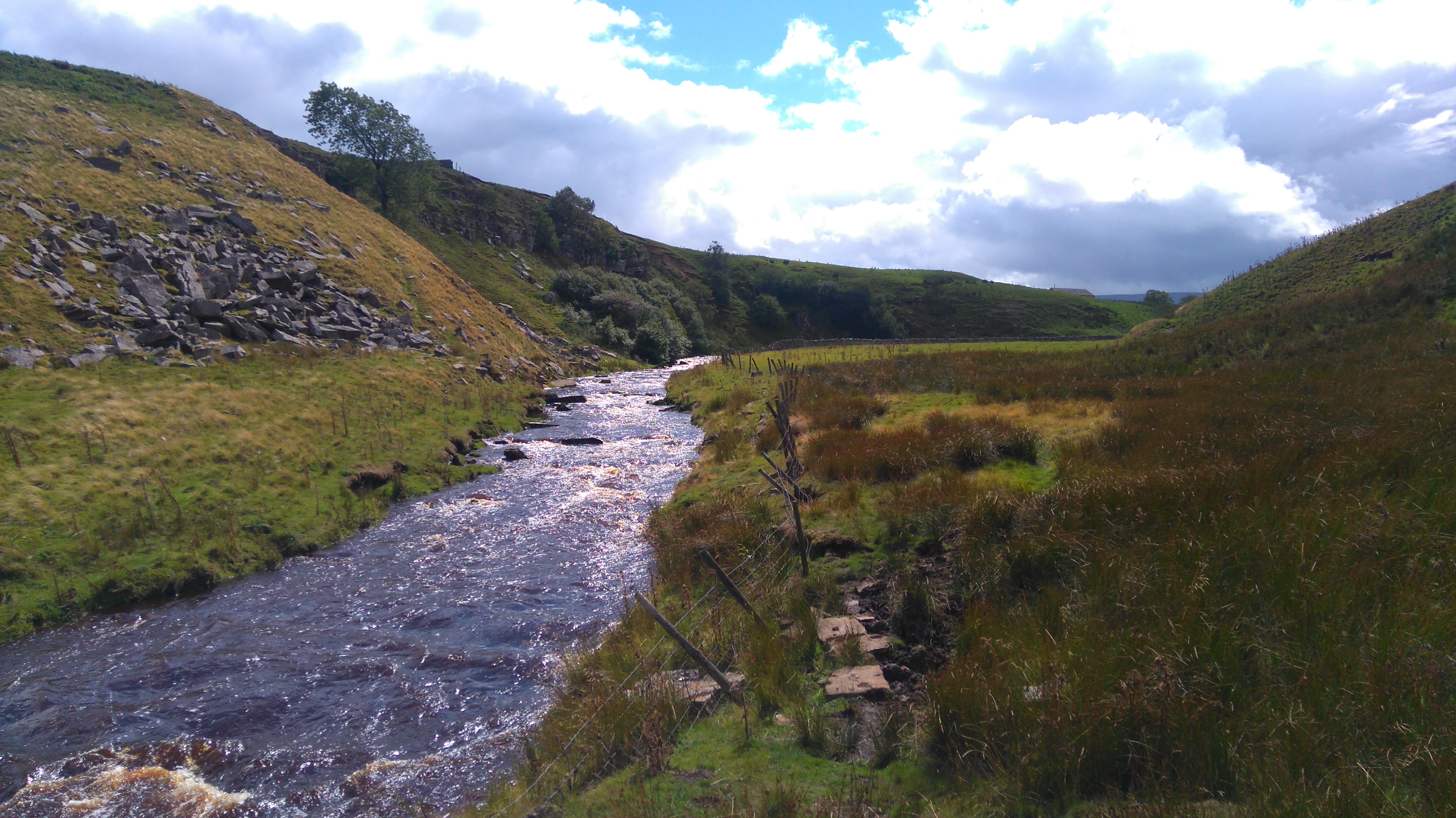
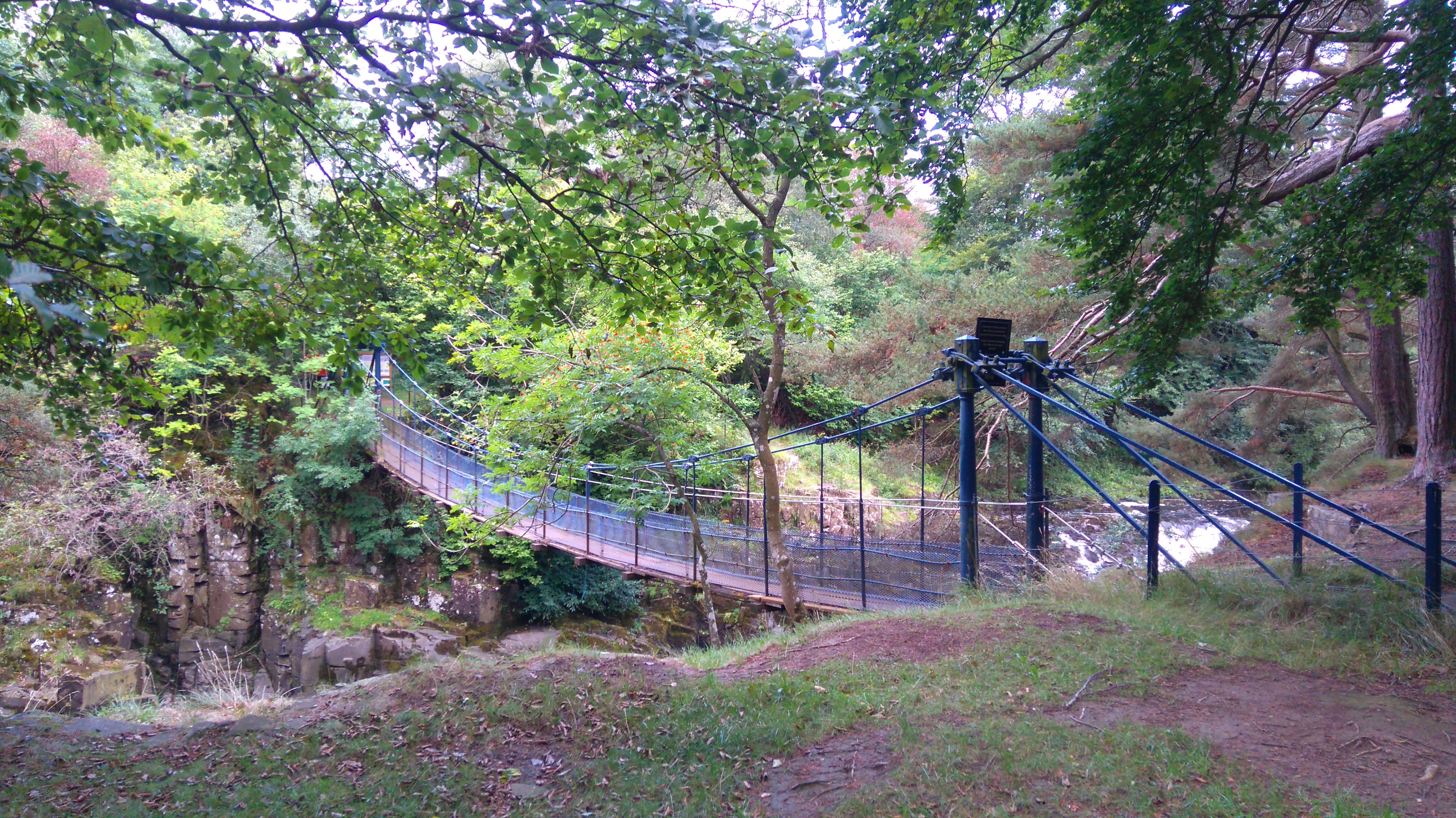
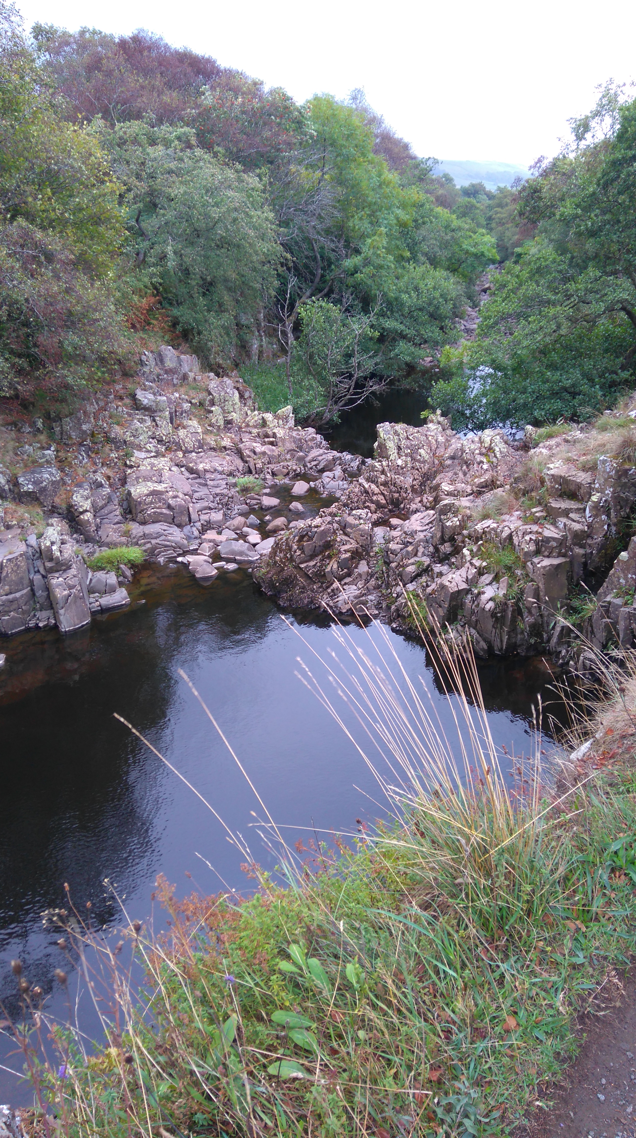
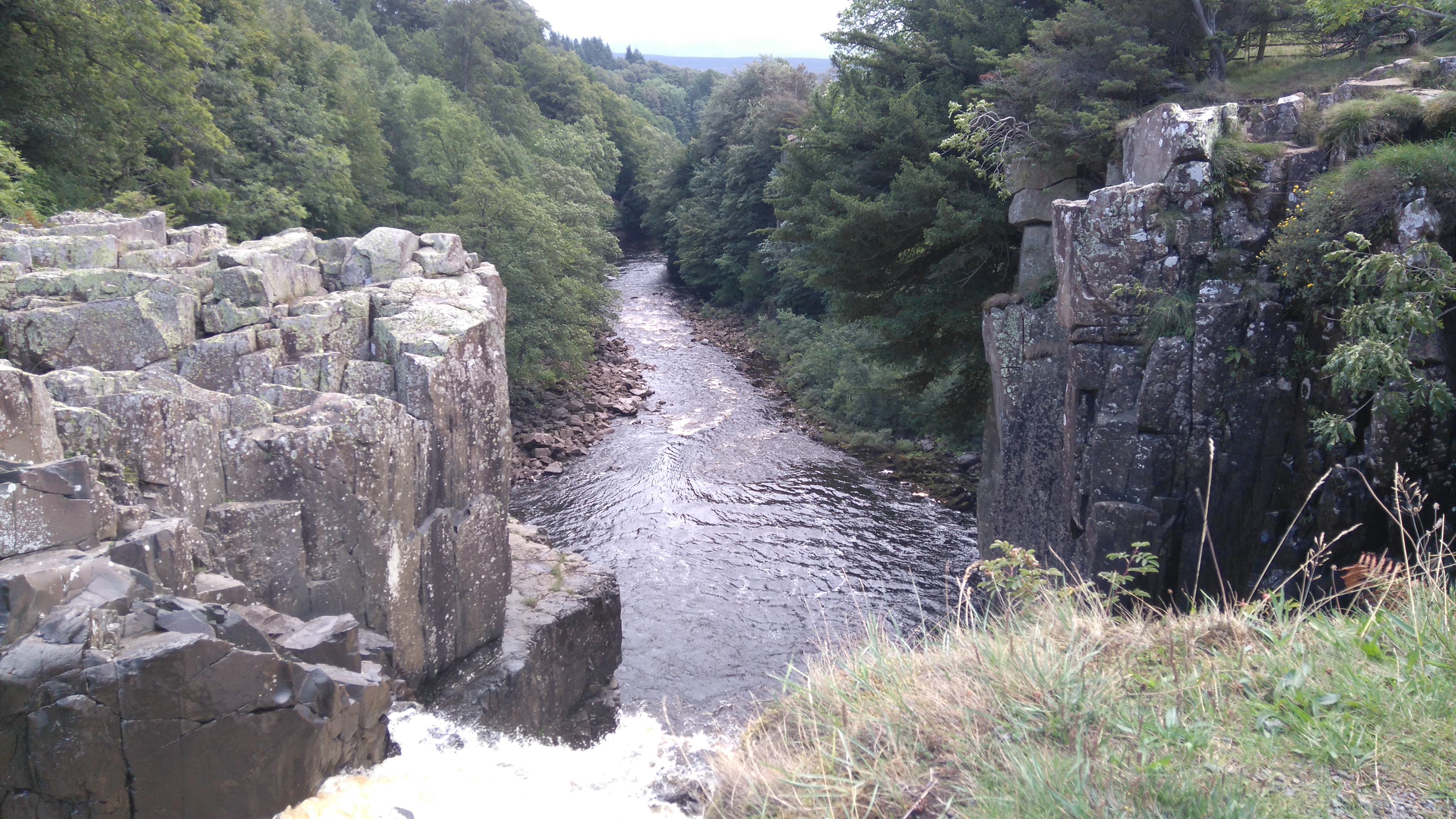
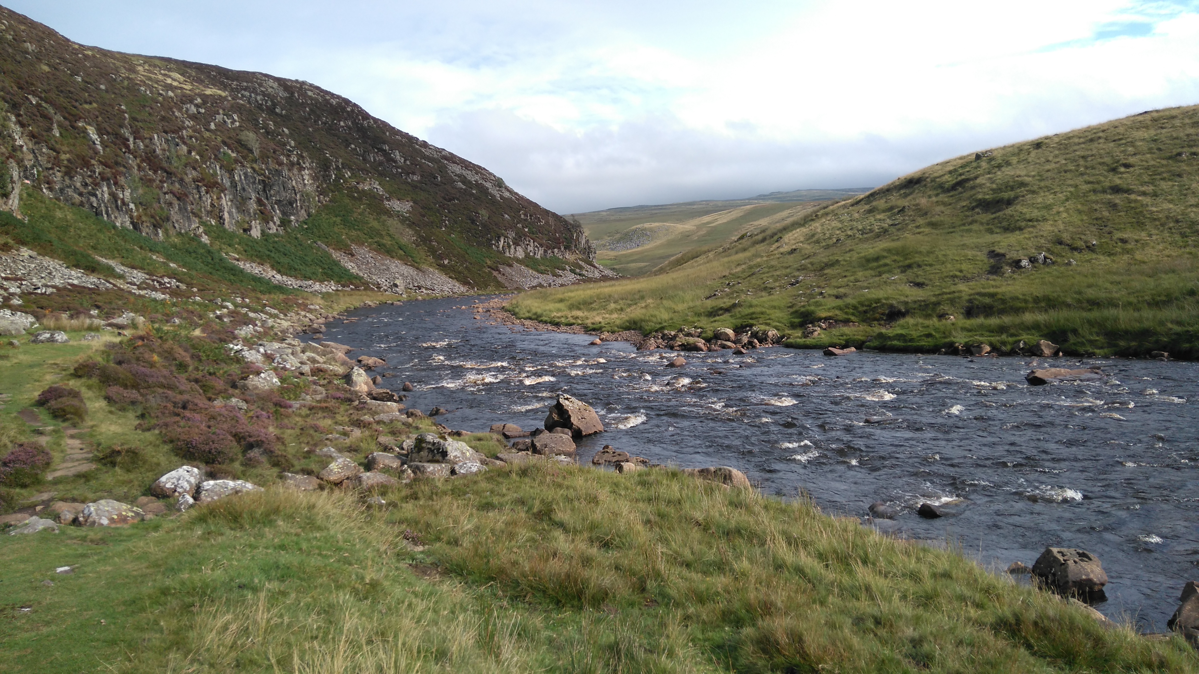
Ling Gill
Here the stream thunders into the Ling Gill Scar, a beautiful wooded ravine. The barrier is to stop anyone or anything from being swept away into the gorge.
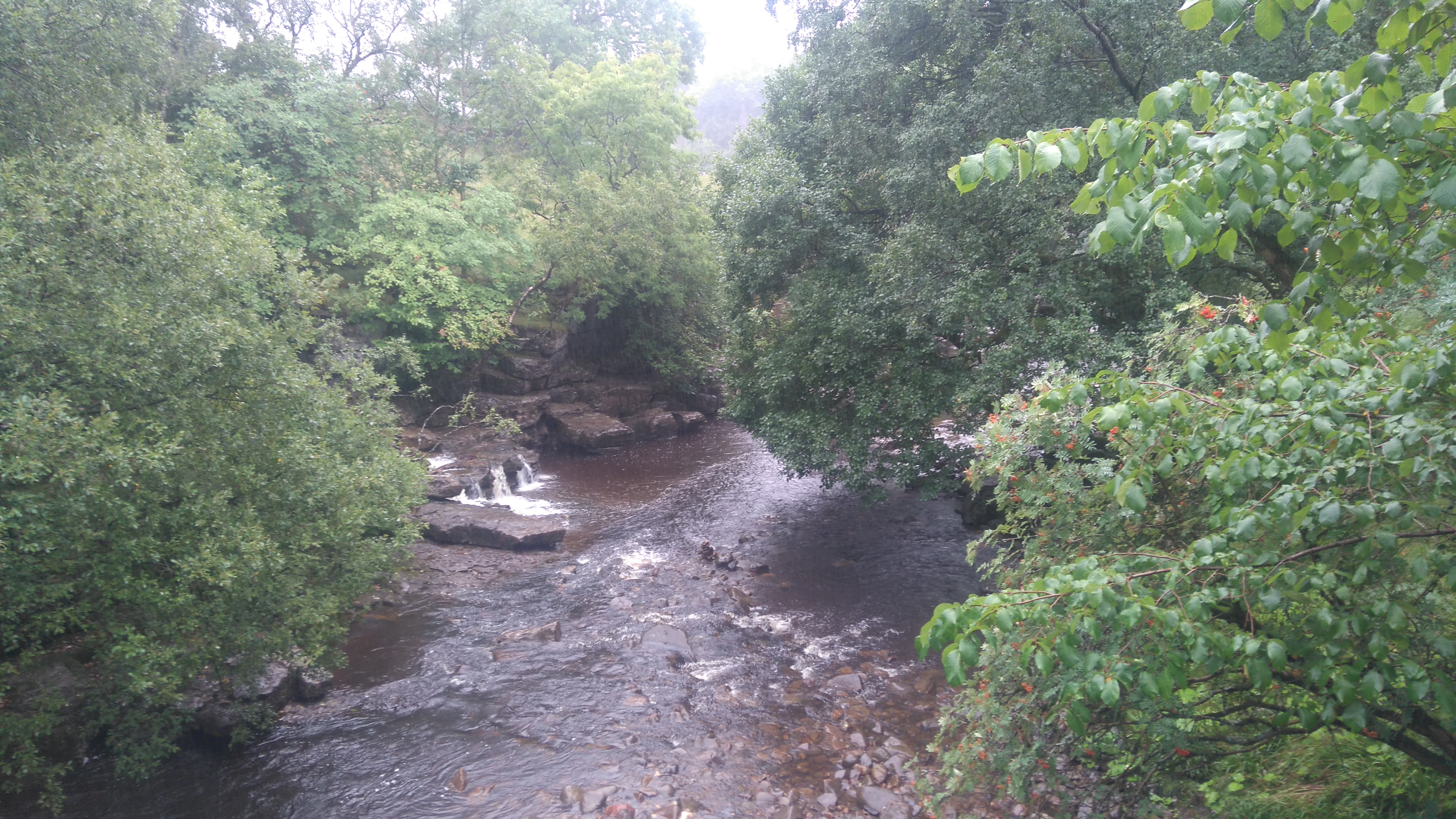
Ling Gill
Somewhere deep down in the gorge ran the stream, glimpses were had through gaps in the foliage, access denied by sturdy fences.
Ling Gill
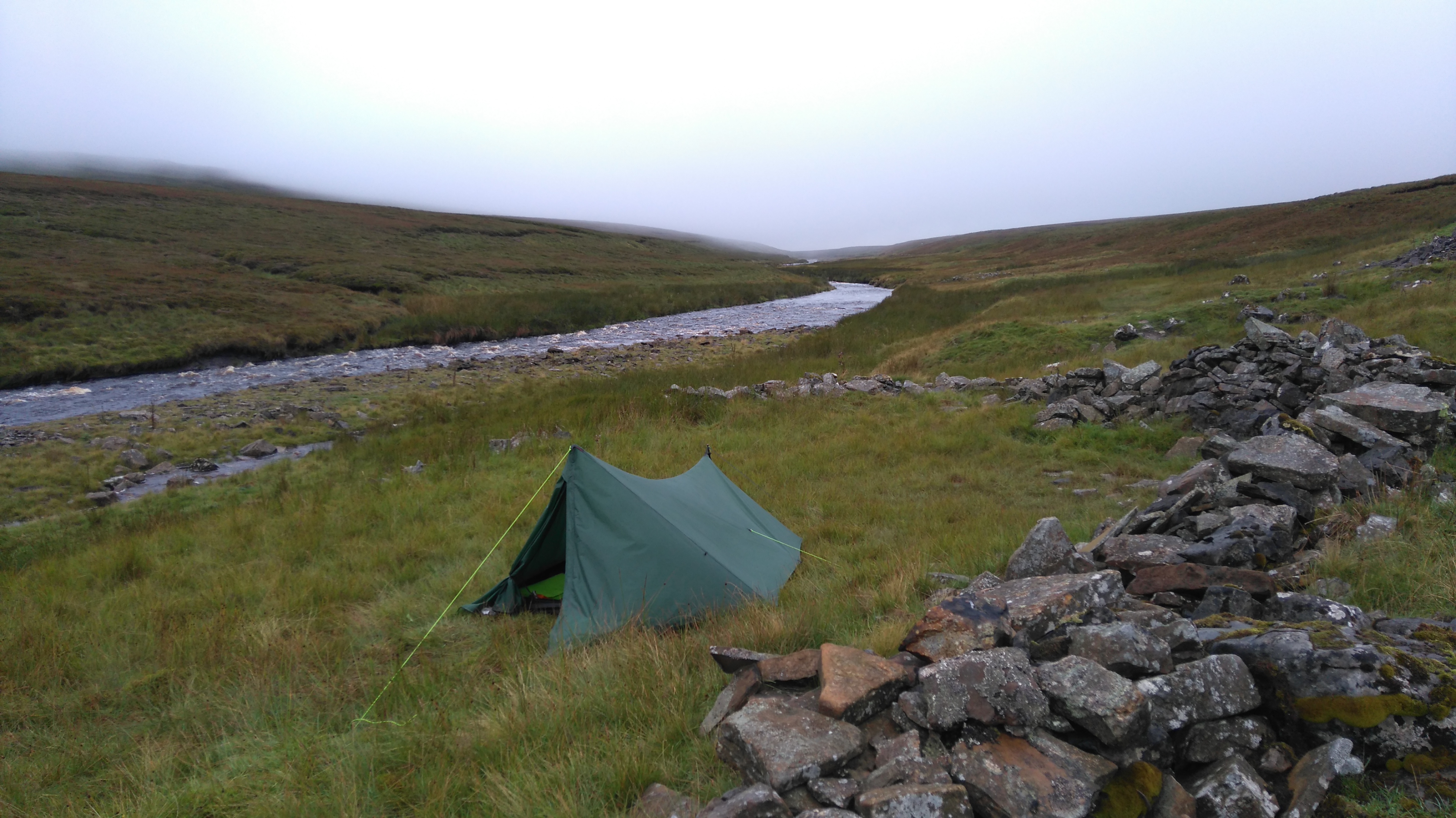
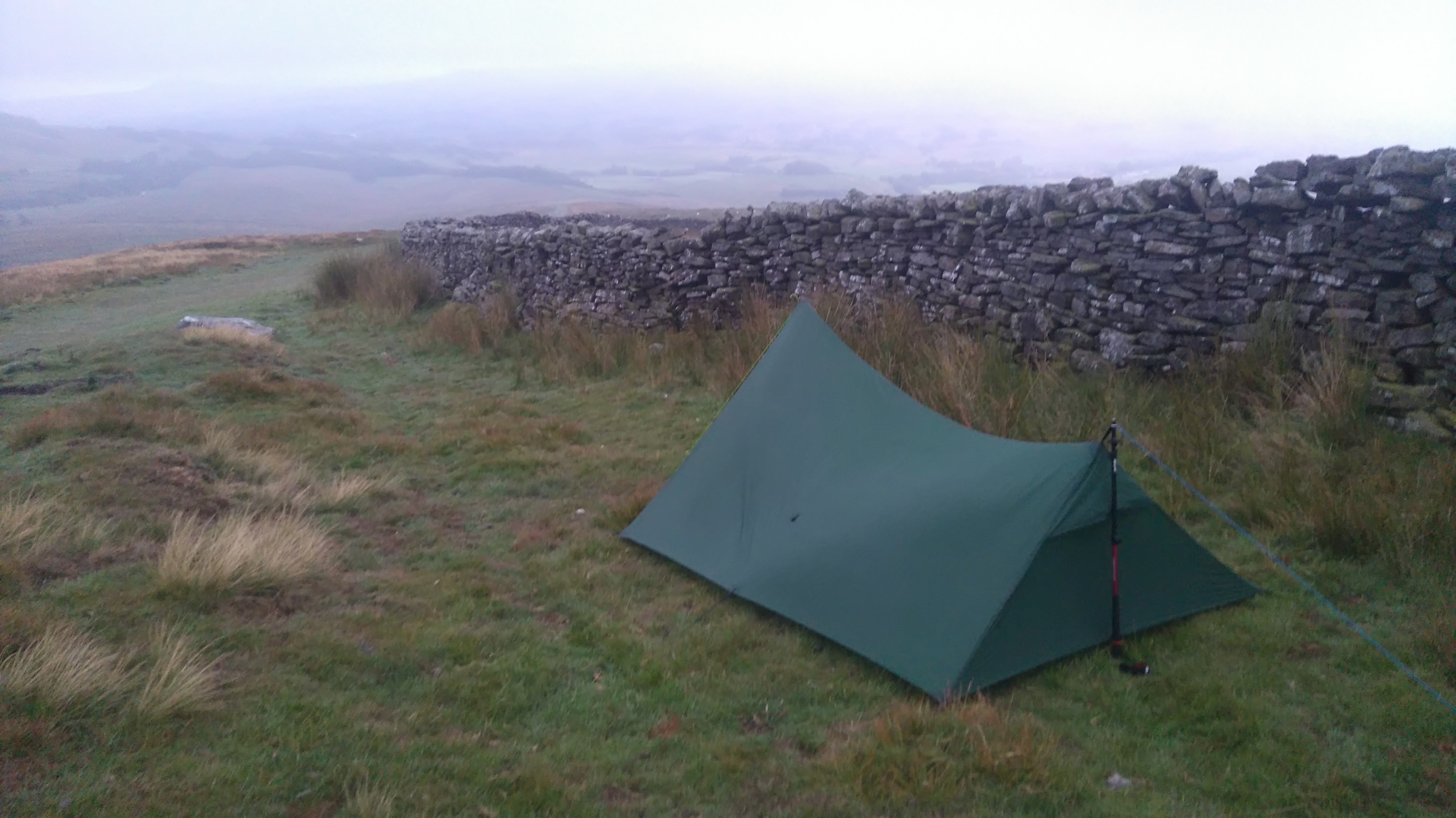
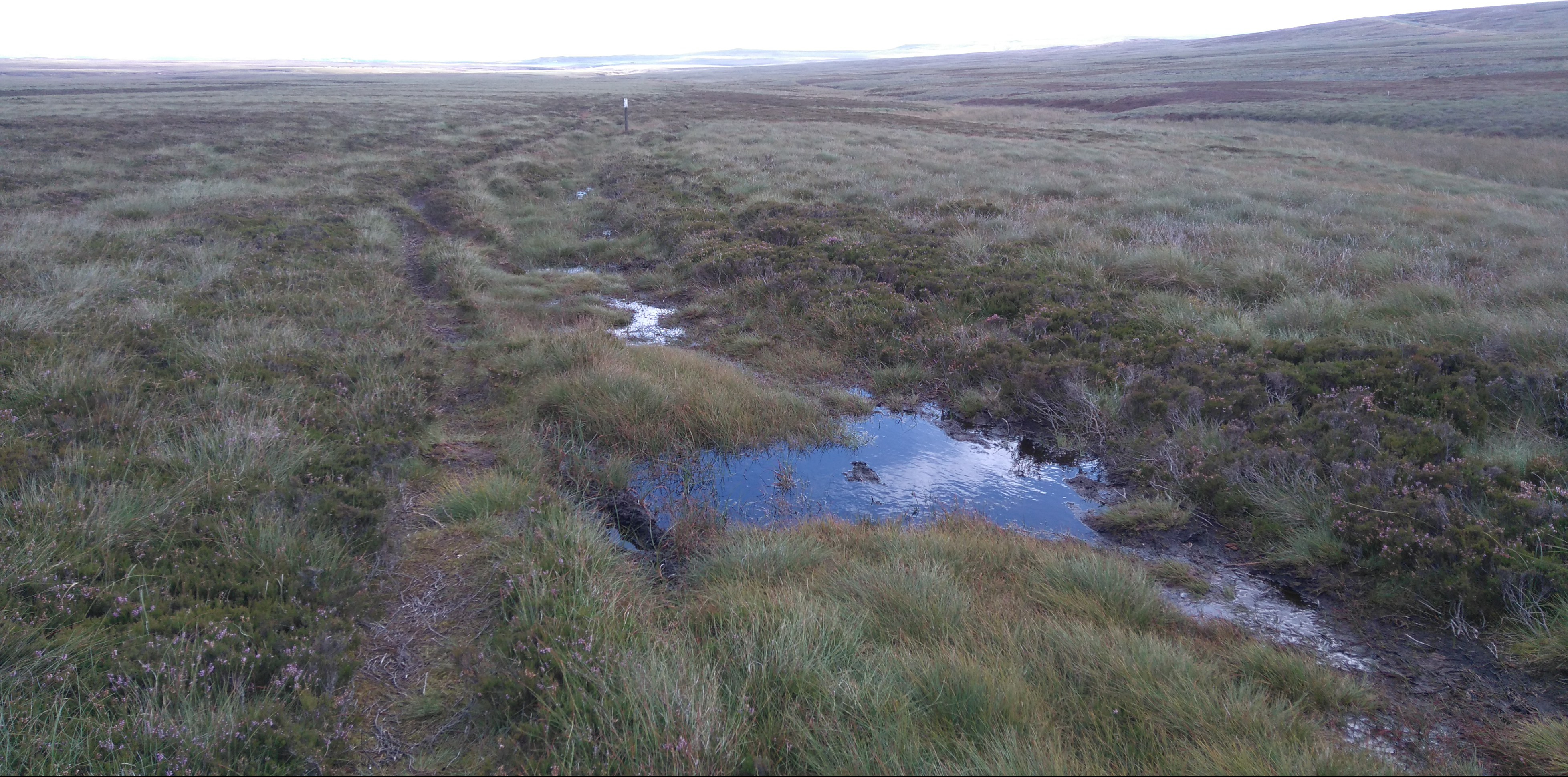
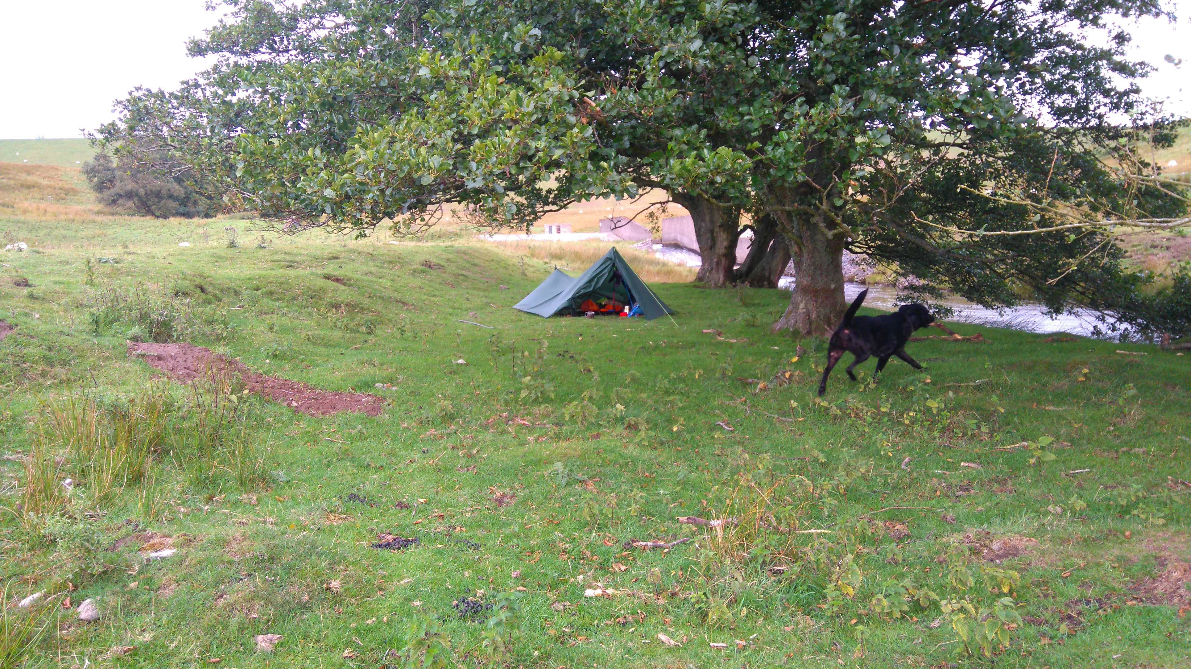
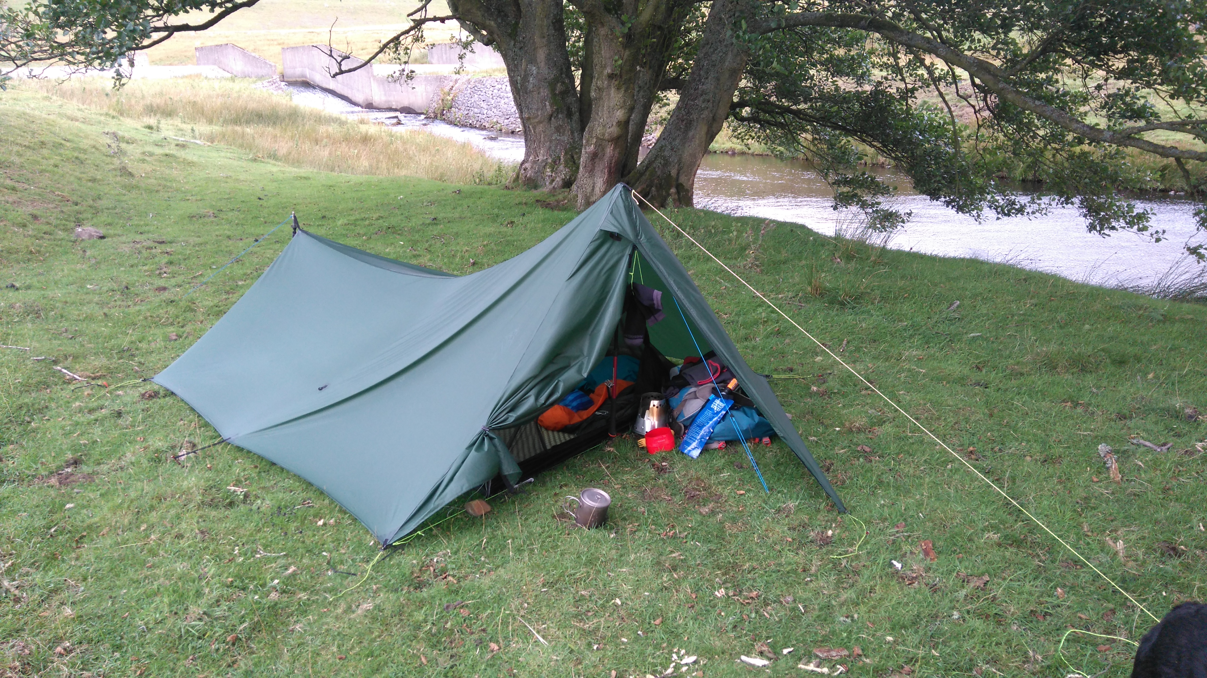
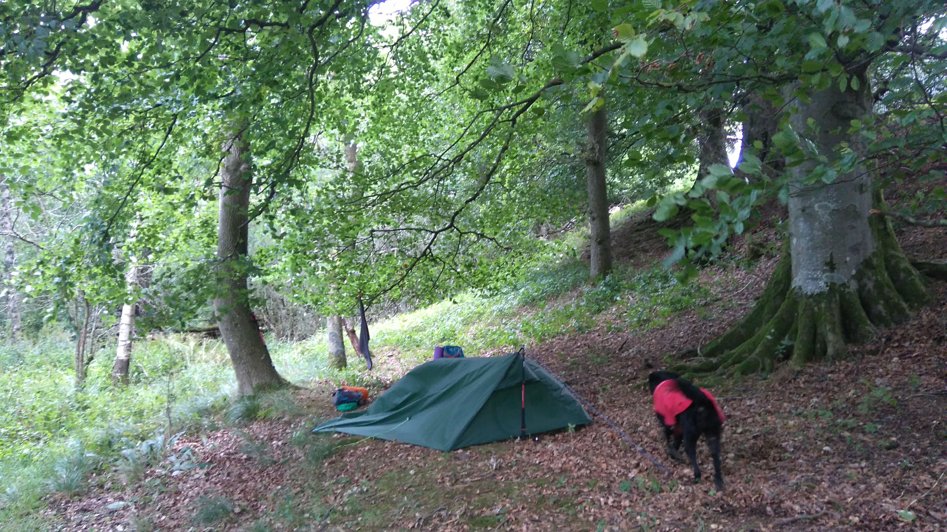
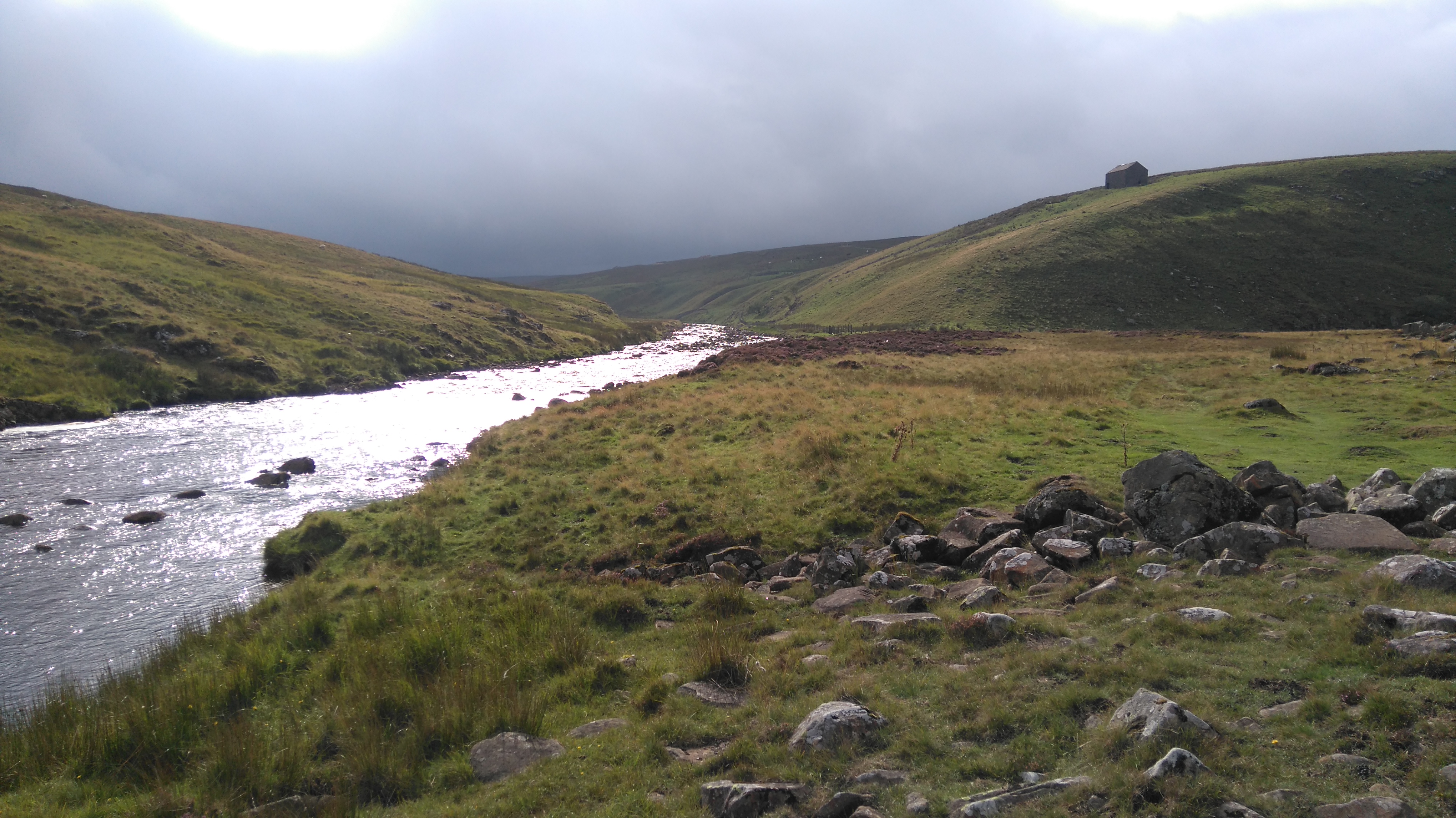
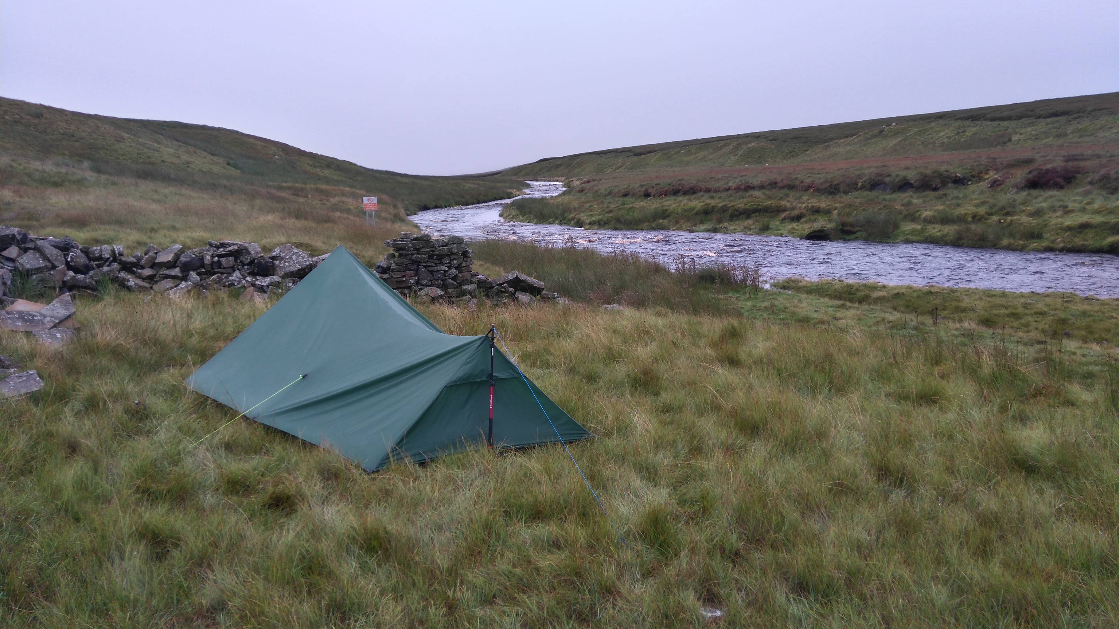
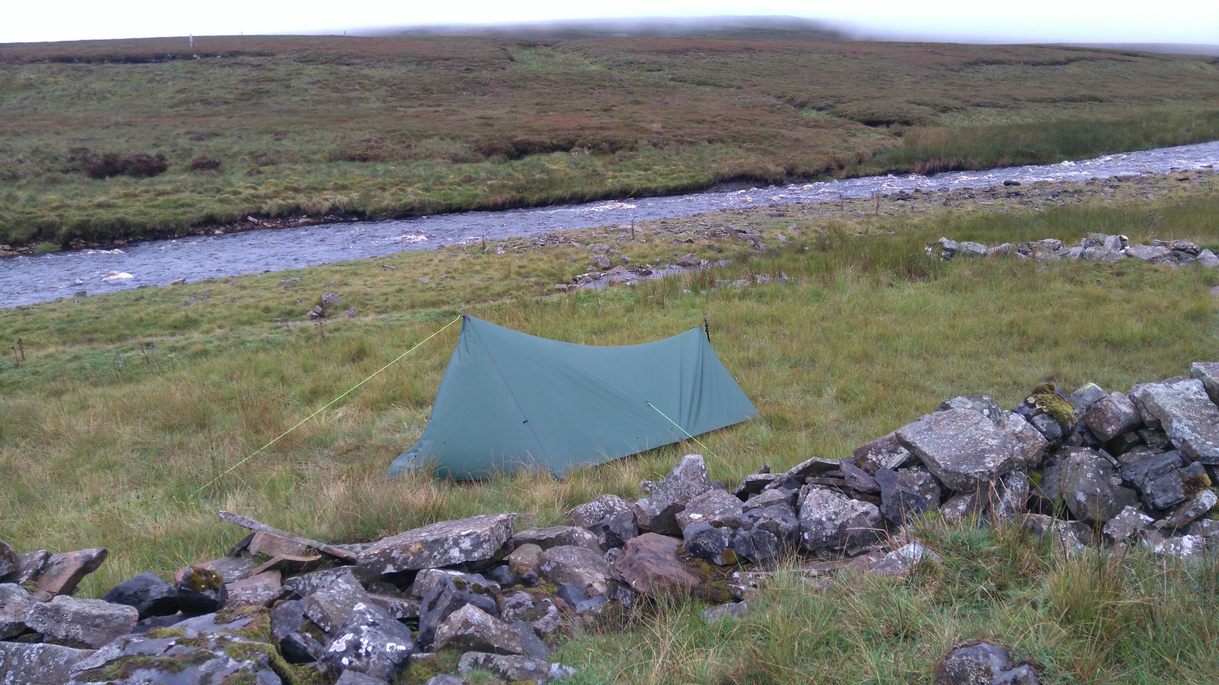
Home for the night near the old stone Ling Gill Bridge, any further would be too exposed and probably not very suitable for pitching a tent.
We found a good pitch just off the path and near the stream. It was not long till nightfall so the chance of anyone seeing us was slim.
My camp at Ling Gill
Day two: Ling Gill Bridge to Great Shunner Fell 12 miles.
Weather: wet, windy, cloudy, dry in the evening.
A day of wet and windy moors, occasional views of deep bog and lush valleys, dark forests, lunch in a cafe, Wensleydale cheese, and a wild-camp on the fell.
Highs:
Not too much rain
A nice lunch in Hawes
A good camping spot
Lows:
Poor visibility
Not many views
PW3 day 2
Diary day two:
Having slept well we woke to a dry overcast morning. After breakfast and packing up we followed a rough track, later a tarmac track, where big forestry lorries occasionally rumbled past, up and over Dodd Fell with the odd glimpse of green valleys below.
Soon after setting off the weather had turned a little damp and quite windy. We met a another PW walker clad head-to-toe in waterproofs and carrying a large pack, going from north to south, facing the prevailing wind, full of stories and still smiling.
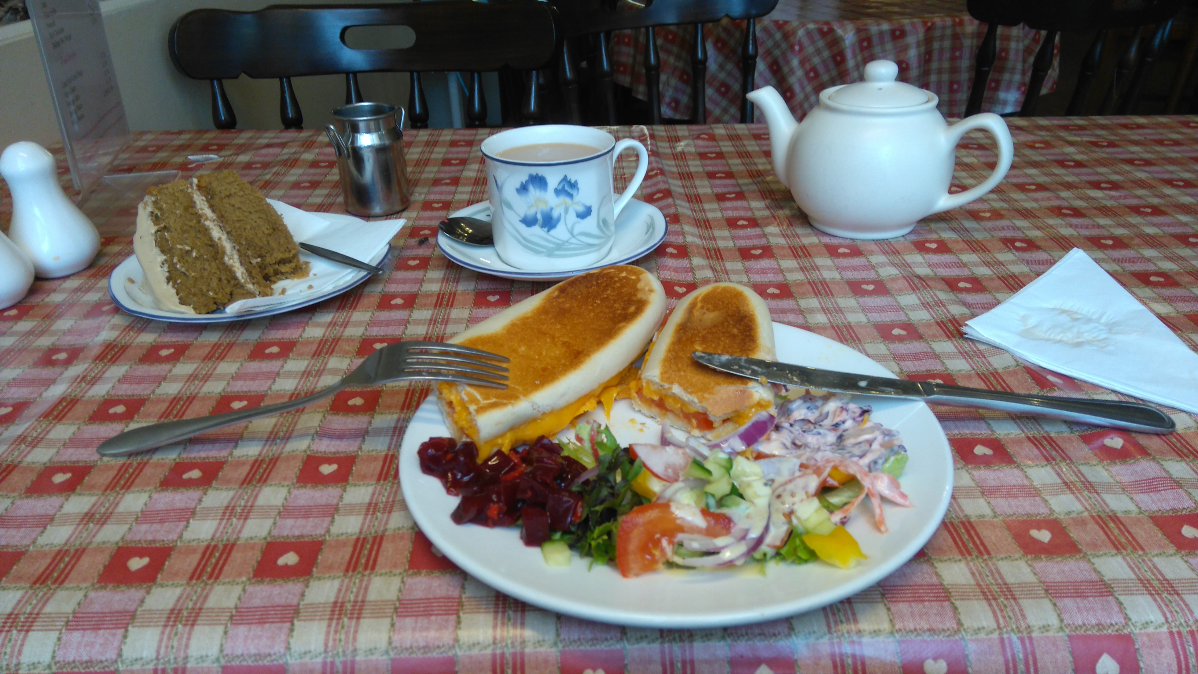
Eventually we got to Hawes, where I bought some nice cheese from the Wensleydale Creamery and had lunch in a cafe, while the dog had a sausage roll and a tin of dog food outside.
Hawes seemed a nice place to spend some time, but we needed to make tracks. We walked the short distance to Hardraw, where I'd planned to camp, but I decided (foolishly perhaps) to walk on and find a spot on Great Shunner Fell instead. We hiked another 2 miles or so before deciding going any higher would not be sensible due to the wind, and found a sheltered level spot behind a wall.
By not stopping at Hardraw we missed the Hardraw Waterfall, the tallest single drop fall in England, accessible through the Green Dragon Inn.
Lola on Dodd Fell
Dodd Fell (a large sheep fold)
Observations made by another wayfarer on the trail:
Its just a long boring slog really.
These are not real mountains, just big round hills.
You'll like the Cheviots, they are wild and remote.
The long slog bit I agree with. Boring? No, there is little time for boredom, the preoccupation with the trail (route-finding, views, weather, food, sore feet, gates and styles, bog and marsh, animals, where to pitch) keep mind and body busy.
Dodd Fell
A rare view emerged of remote hill farms and dark forest.
Dodd Fell
Finally we dip under the cloud and see Hawes down in the valley, where hopefully, lunch and cheese await.
Dodd Fell
Down down down the trail goes.
Dodd Fell (Gaudy House)
Leaving Hawes
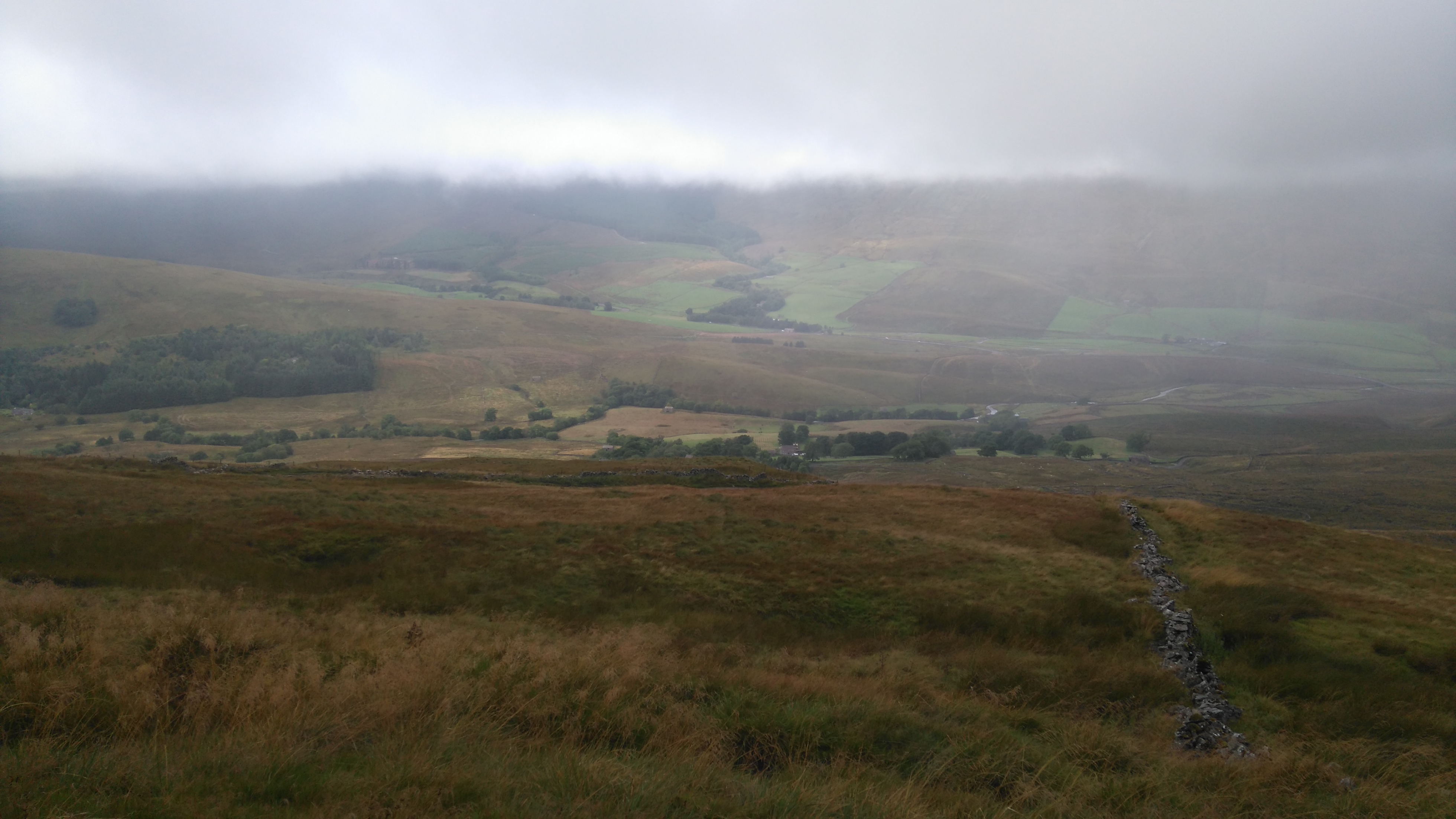
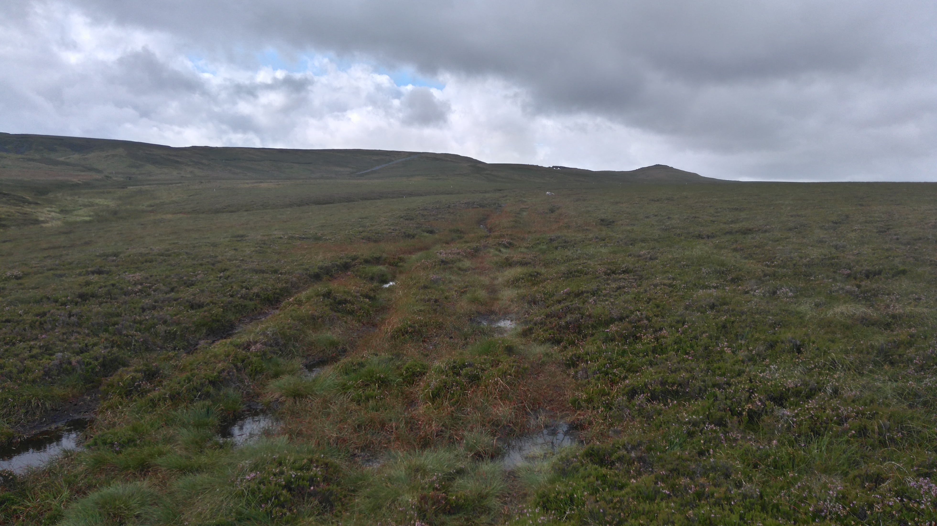
Great Shunner fell
The start of the long trek up Great Shunner fell.
Great Shunner fell
A large wall provided shelter from the stiff breeze, while a spring in a little valley below provided clean water.
Great Shunner fell.
Two chaps walked close by at 9 pm, chatting loudly, thankfully they didn't spot us or didn't care about us wild-camping.
Day three: Great Shunner Fell to Tan Hill Inn 12 miles.
Weather: drizzly, windy, foggy, wet.
A day of miles of bog and fog, lunch in the pub, awkward little styles, overgrown paths, waterfalls and limestone cliffs, more miles of wet, windy, desolate moorland, and camping at the highest pub in England.
Highs:
Great Shunner Fell
Some good views
A good lunch in Thwaite
Getting to Tan Hill Inn
Lows:
Wet and windy weather.
Getting soaked
Many awkward styles
PW3 day 3
Diary day 3:
We woke again to dry weather and, after the usual camp-routines, followed the trail up the hill. It soon started to drizzle and the higher we got, the foggier, windier and wetter it got, so windy in fact I had to put my hood up to stop my hat blowing off.
After many false summits finally the true summit (716m) was reached, where I had a quick snack while perched, bag and all, on the narrow wooden bench in the shelter. Then followed more miles of walking on mill-stones lain across the bogs, no map or compass needed here. A few ups and downs, then the trail turned into a rough farm-track (hard on the legs), before getting to a tarmac lane leading to the small hamlet of Thwaite.
In Thwaite I had lunch in the hotel with the dog napping under my feet, both enjoying the comfort of being inside for a little while.
After lunch we walked up and along Kisdon Hill, struggling with the many narrow styles, overgrown vegetation, blown down birch trees and rocky paths in increasingly foul weather. Just before getting to Keld, where the PW crosses the river Swale, I decided to push on instead of camping on one of the campsites. After a quick look at a waterfall, we started trudging up the track to Stonesdale Moor.
Then followed four miles of walking across exposed windswept moorland with the wind blowing and the rain lashing down horizontally, my moral severely dented and a tired soggy dog following behind. A few suitable wild-camp spots were found but rejected in favour of reaching the Tan Hill Inn and spending the evening in front of a real fire.
Tan Hill was reached before dark where we gratefully dumped our bags in the porch and spent some time drying off and warming up by the fire in the lounge. I was soaked to the skin despite decent waterproofs (I have the tendency to not always fully zip up...) so it was nice to change into dry clothes. In the morning the (amazing) staff kindly tumble-dried my wet clothes, a rare luxury.
After pitching the tent on the least exposed, flat bit of land behind the pub, a few hours were spent chatting and drinking beer by the fire before spending a wet and windy night under canvas.
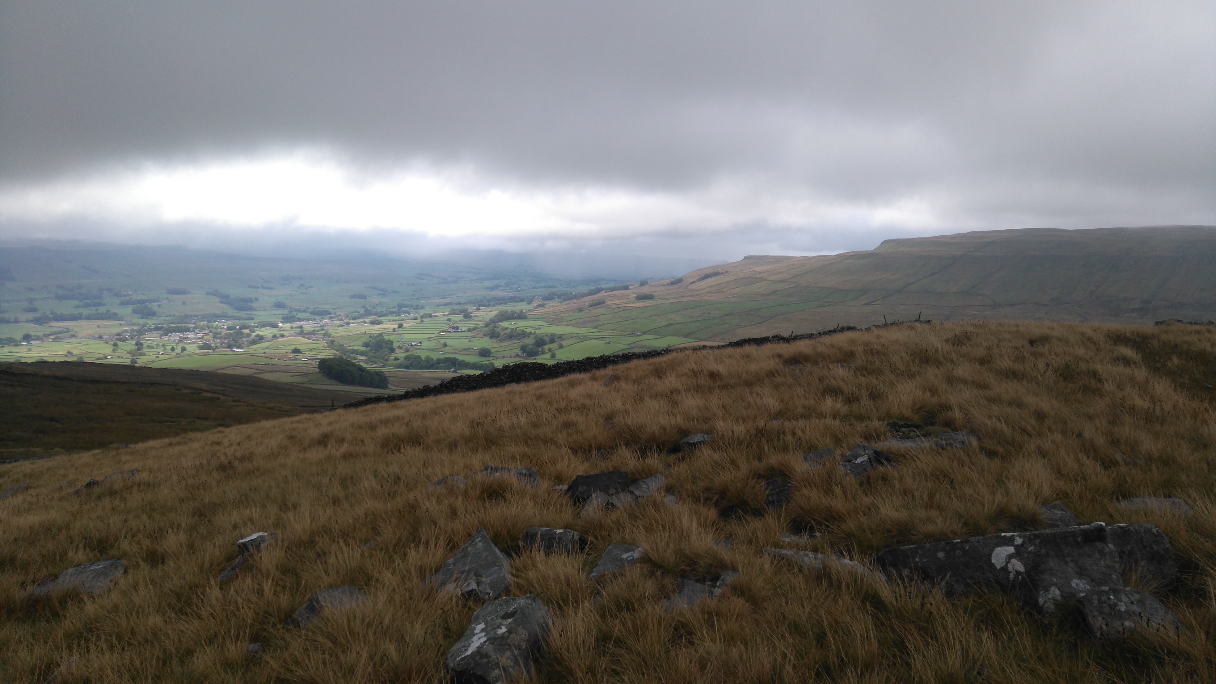
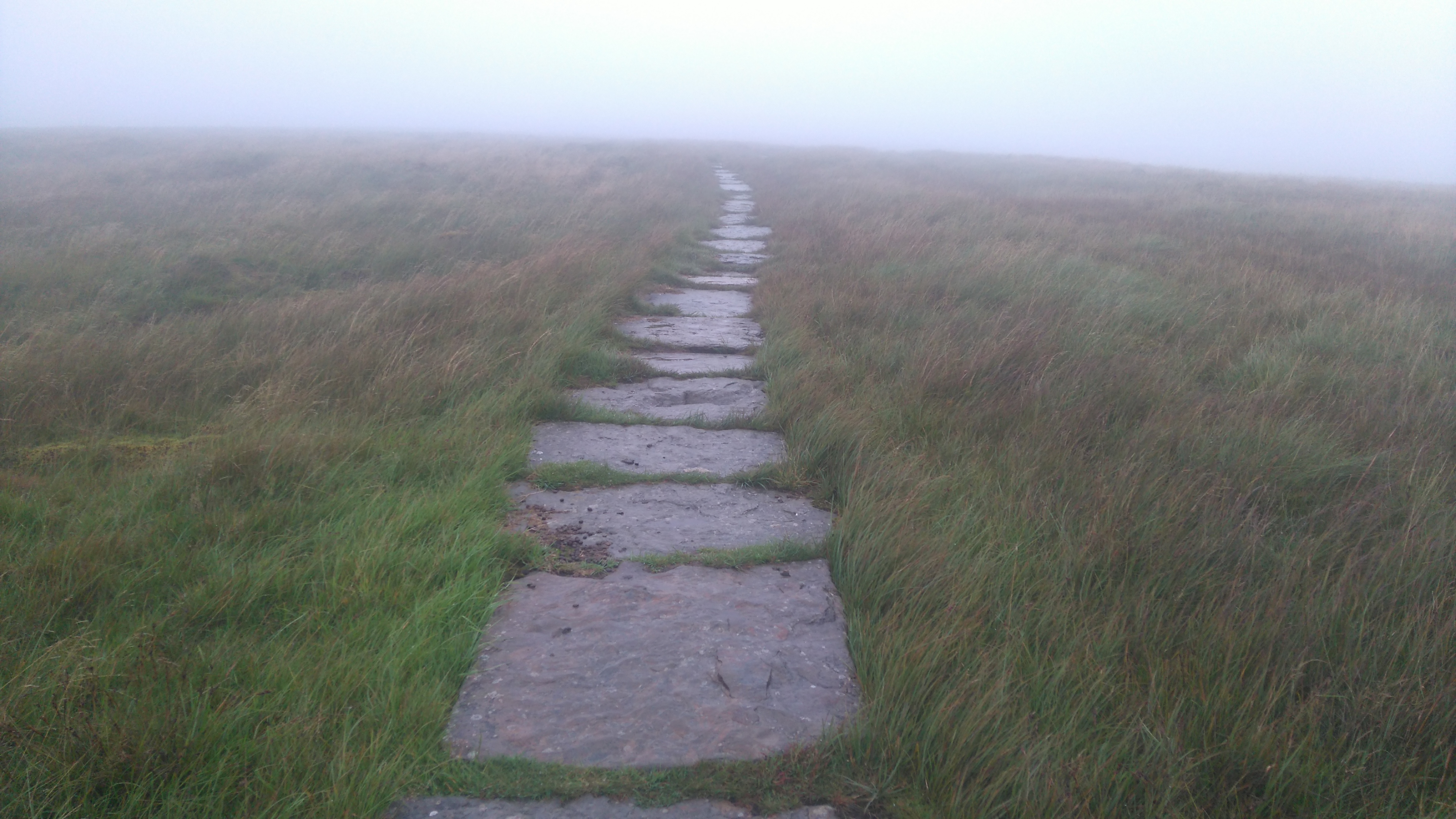
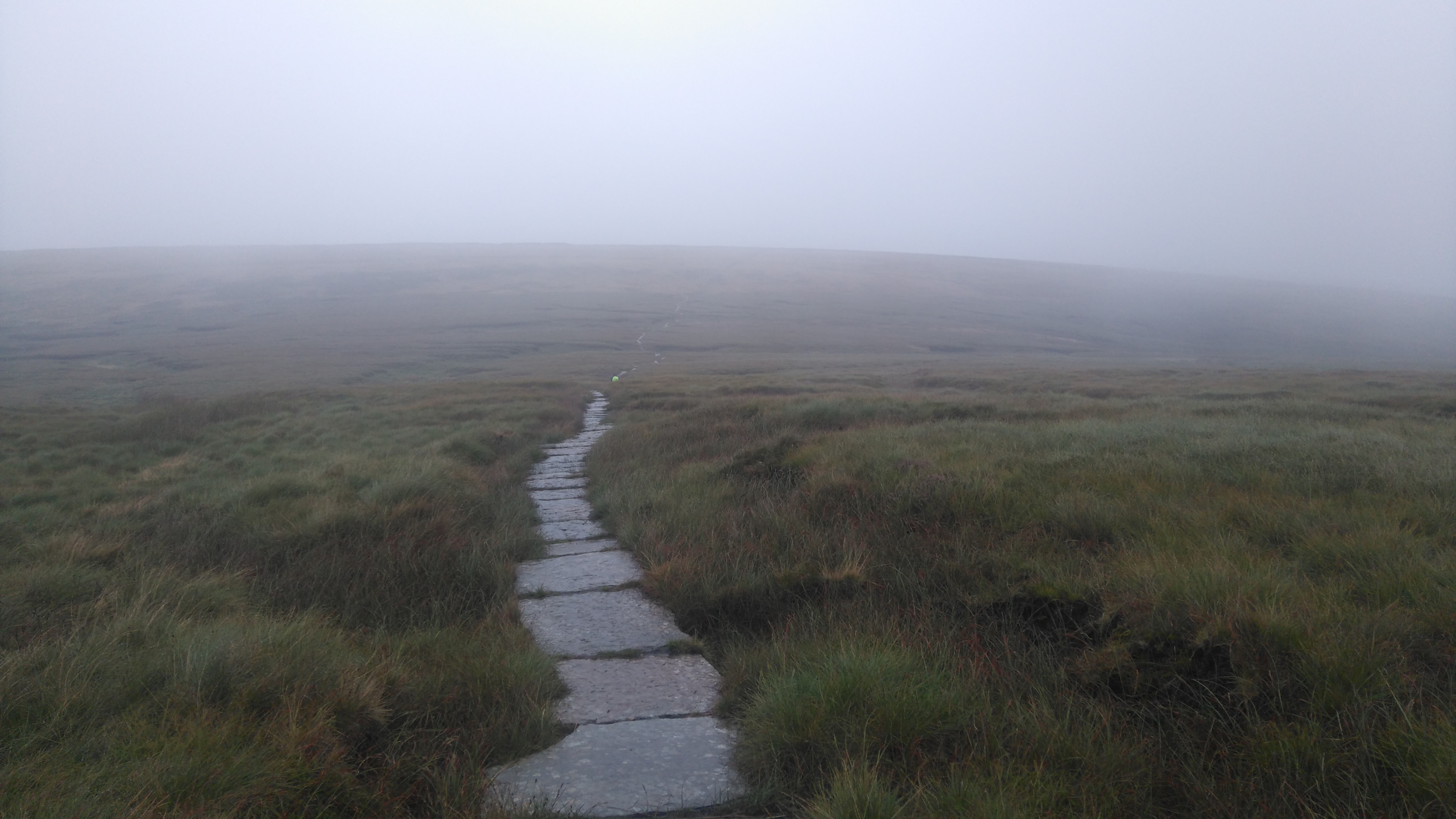
Great Shunner fell (Pennine flag stones)
A few miles of big flag stones from old mills provided easy passage across the bogs. The patterns on the slabs are quite intriguing and keep the mind a little occupied. I also listened to music on my mp3 player to help keep the hiking pace going.
Great Shunner Fell
Eerie, desolate but also beautiful.
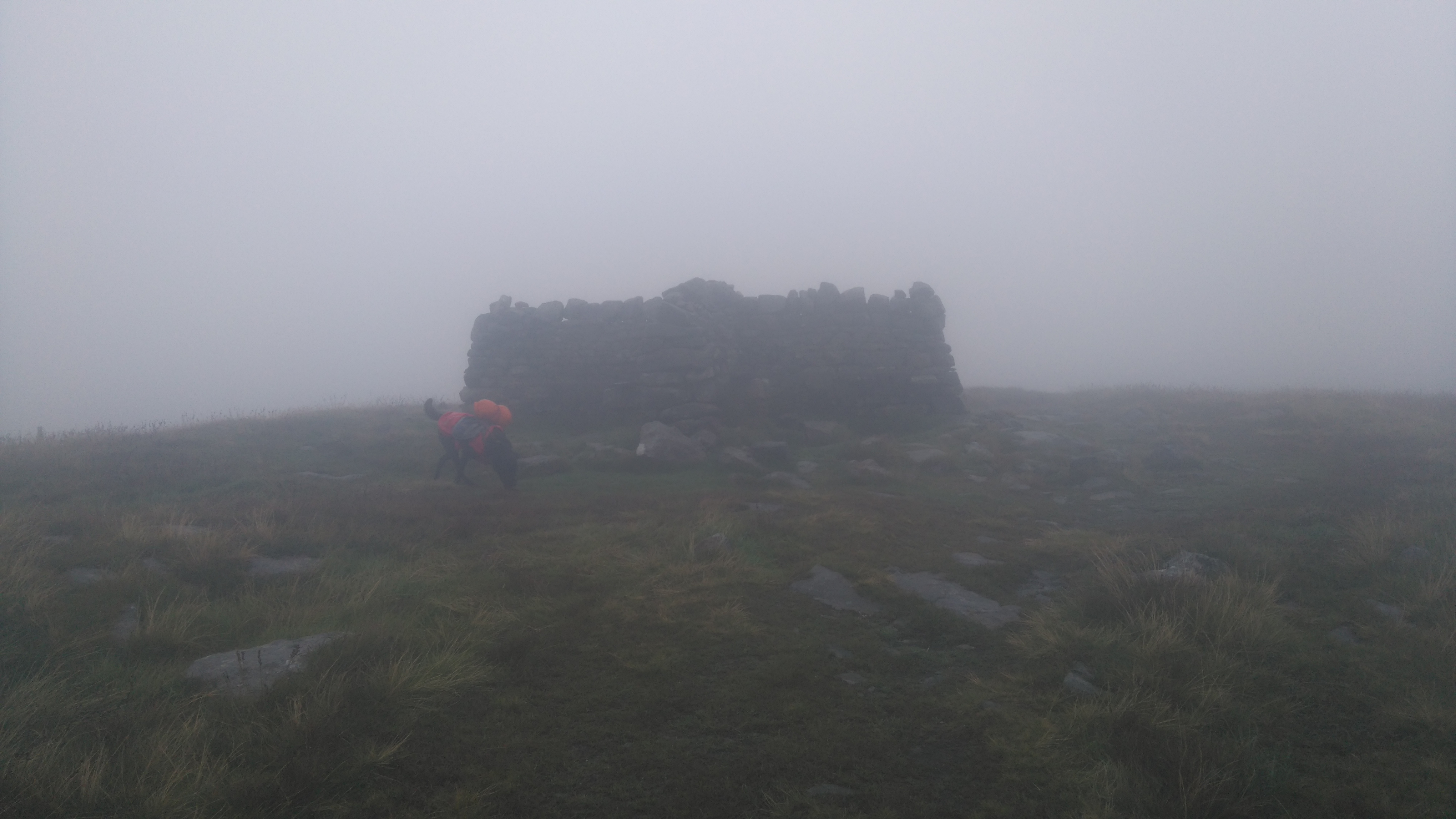
Great Shunner Fell (summit shelter)
After many a false summit the true summit was reached where we stopped to shelter from the wind and had a quick snack.
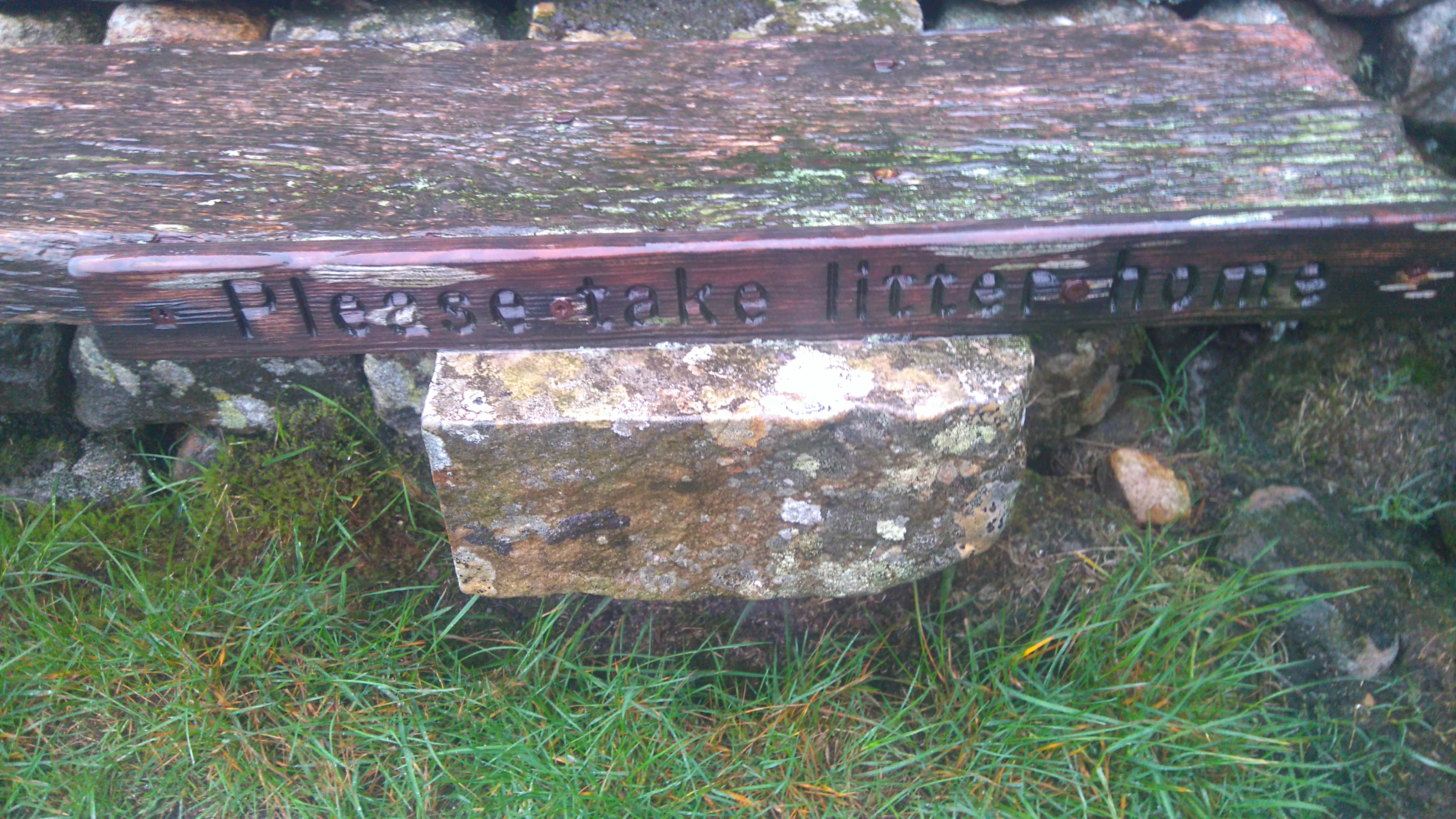
Great Shunner Fell
A polite sign in the shelter: "Please take litter home", not far from which someone very recently dropped two banana skins on the path...
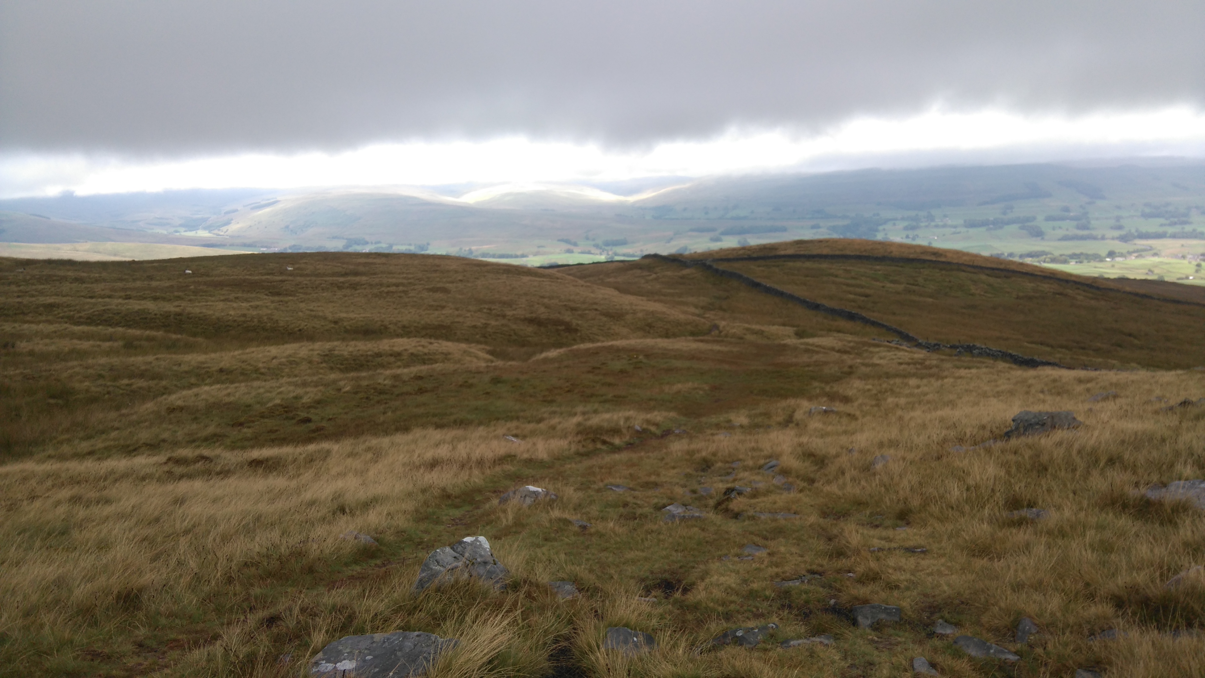
Great Shunner Fell
On and on the path went, across many bogs and soggy grassland. An energetic-looking family in shorts and waterproof jackets asked how far it was to the summit. It was great to see them all smiling despite the wind, drizzle, fog and lack of views.
Great Shunner Fell
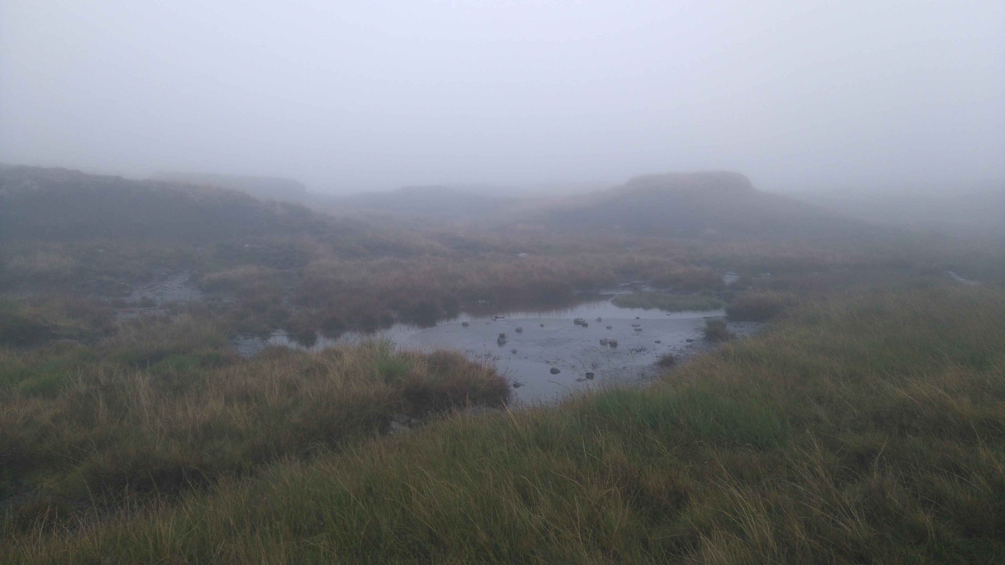
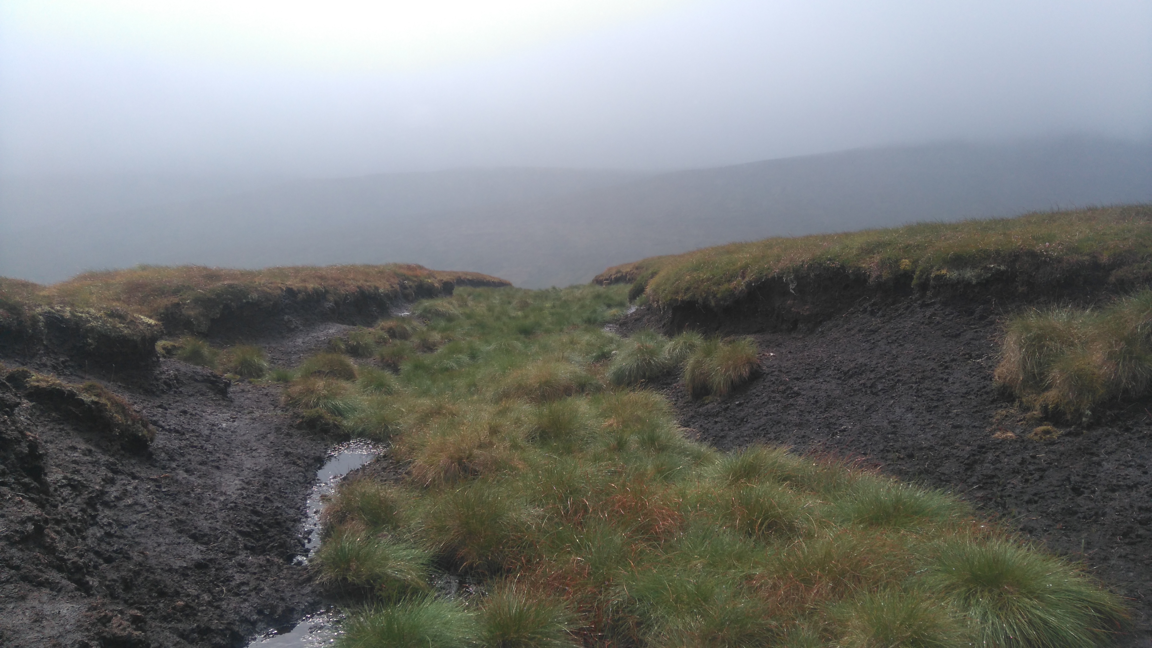
Through a peat grough we got a glimpse of a deep valley.
Great Shunner Fell
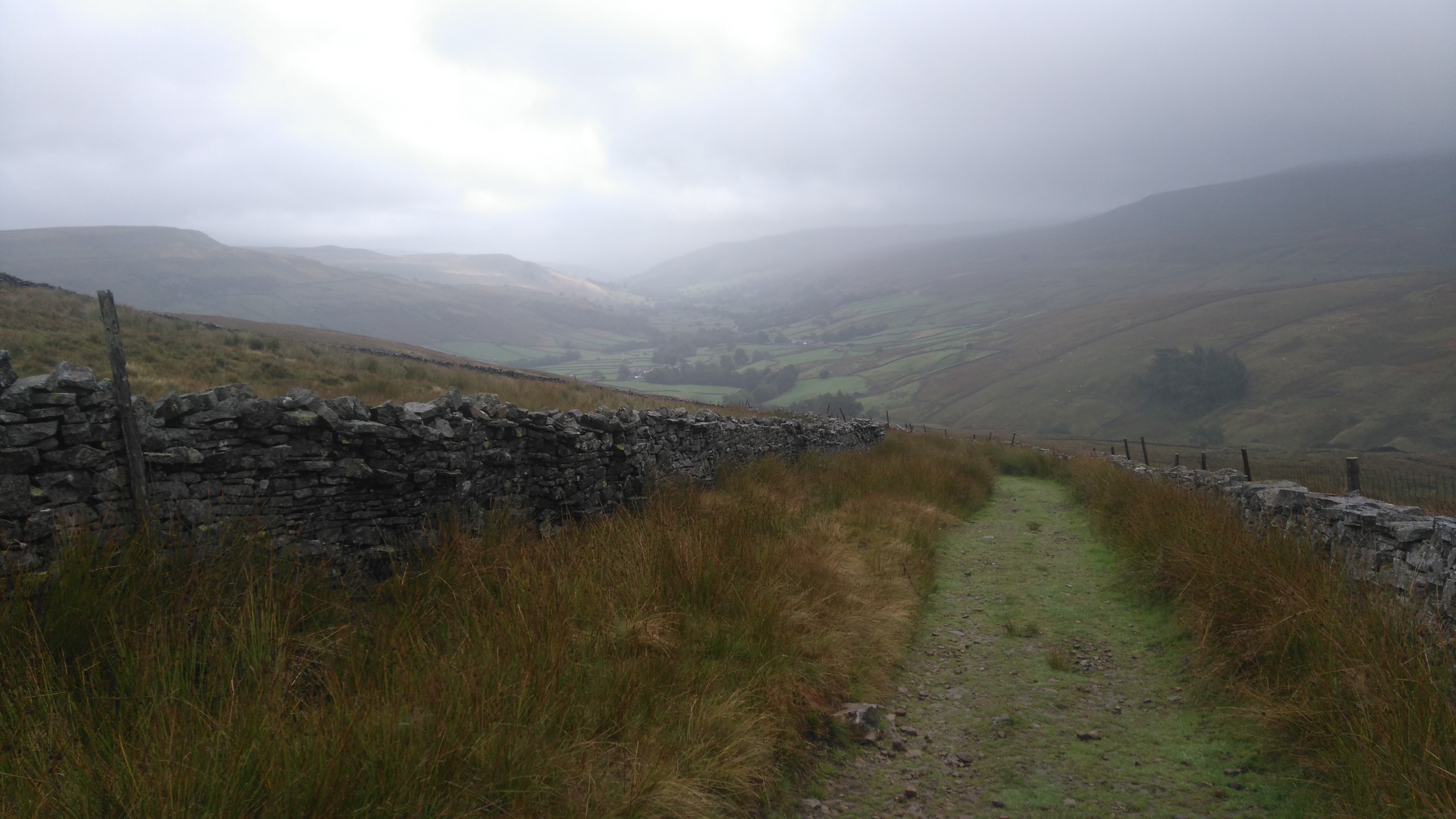
Down a farm track, towards Thwaite and Muker, once Viking settlements, now quiet hamlets surrounded by fertile meadows and dark fells.
Great Shunner Fell
Finally the wild fell, and its wild weather, was left behind and ahead lay farm land.
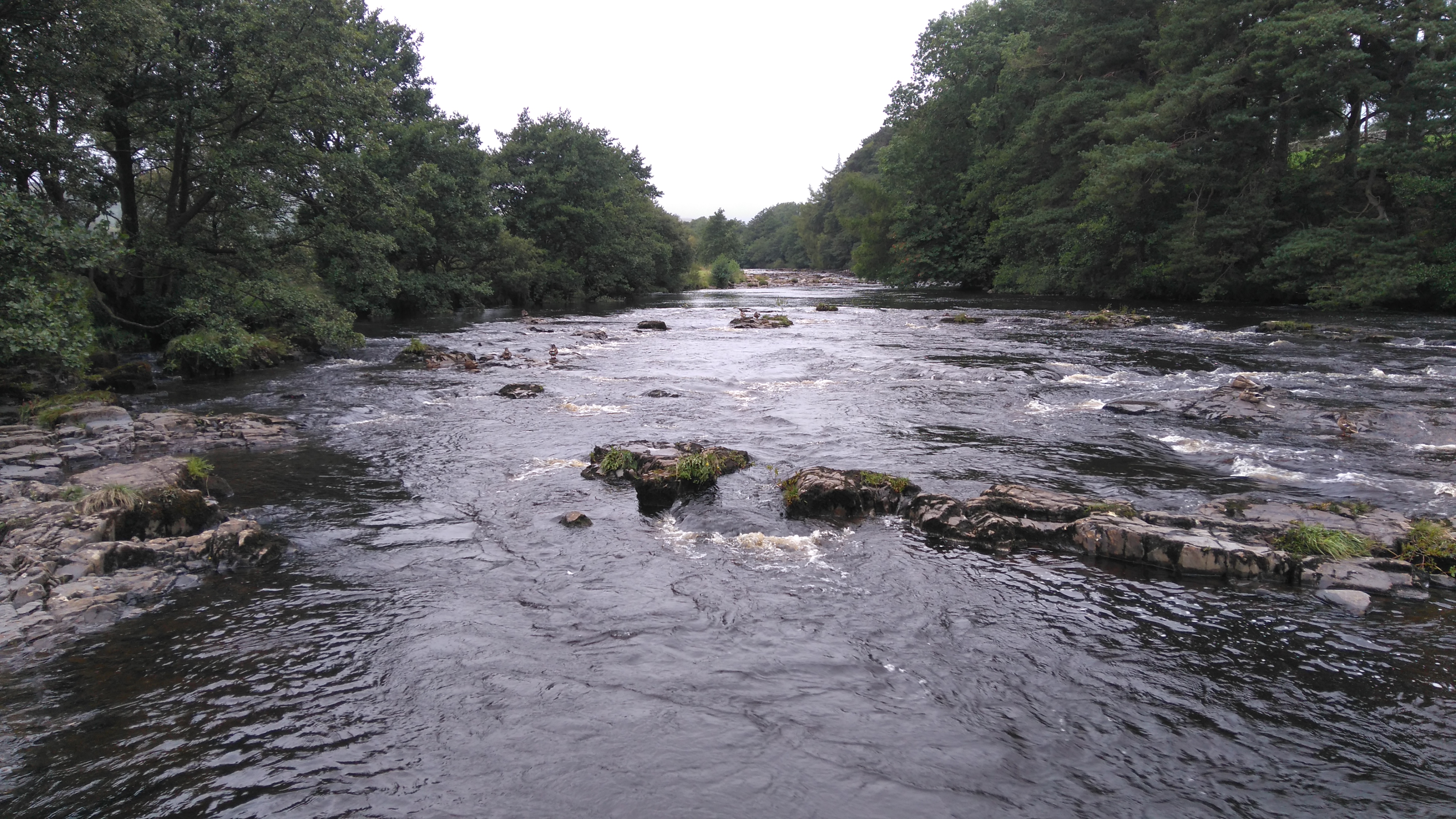
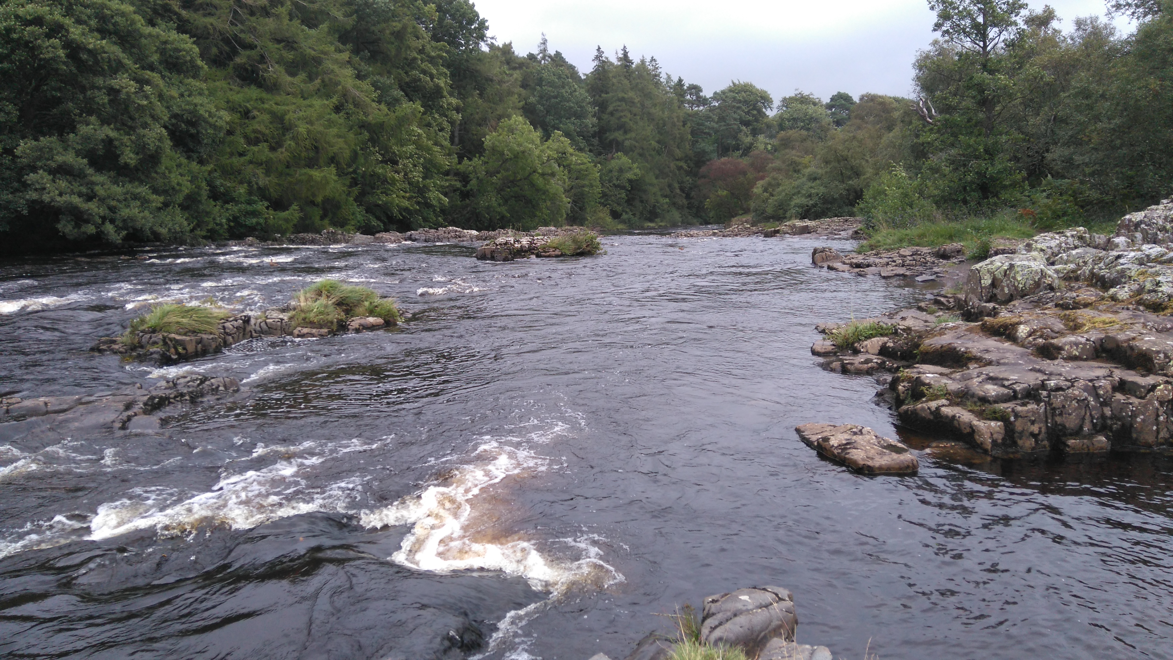
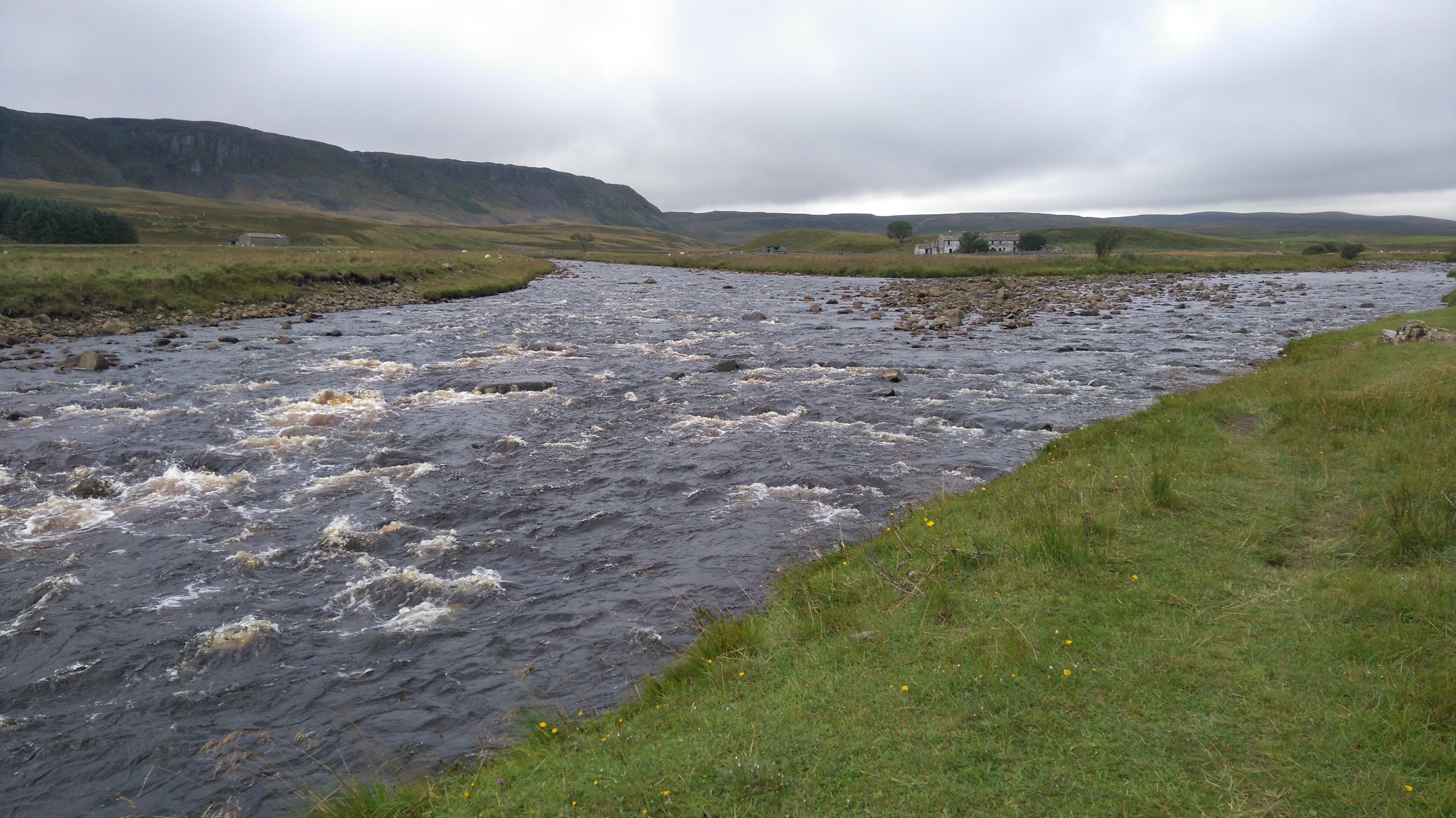
The river Swale (looking west)
The river Swale (looking east)
The Kisdon Falls just to the left can be viewed if you follow another path down to the water's edge.
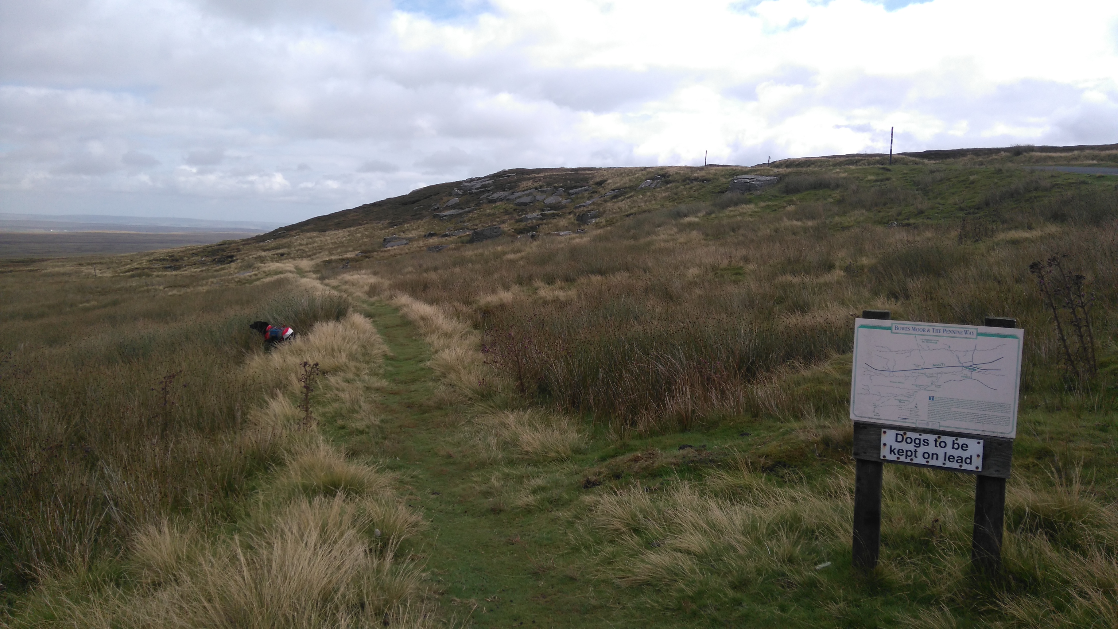
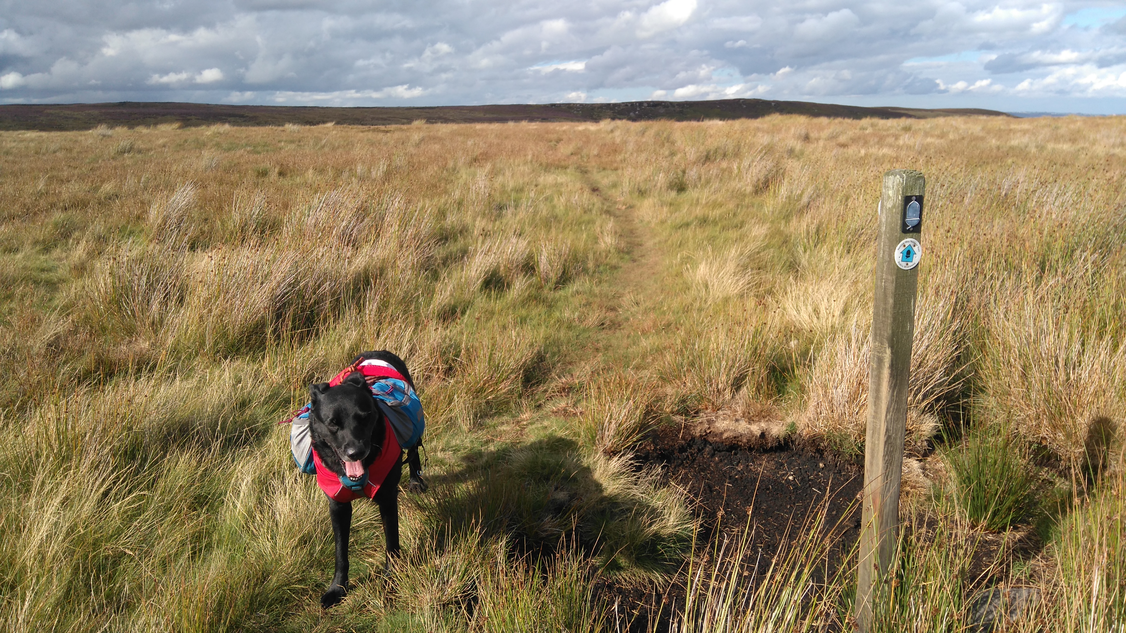
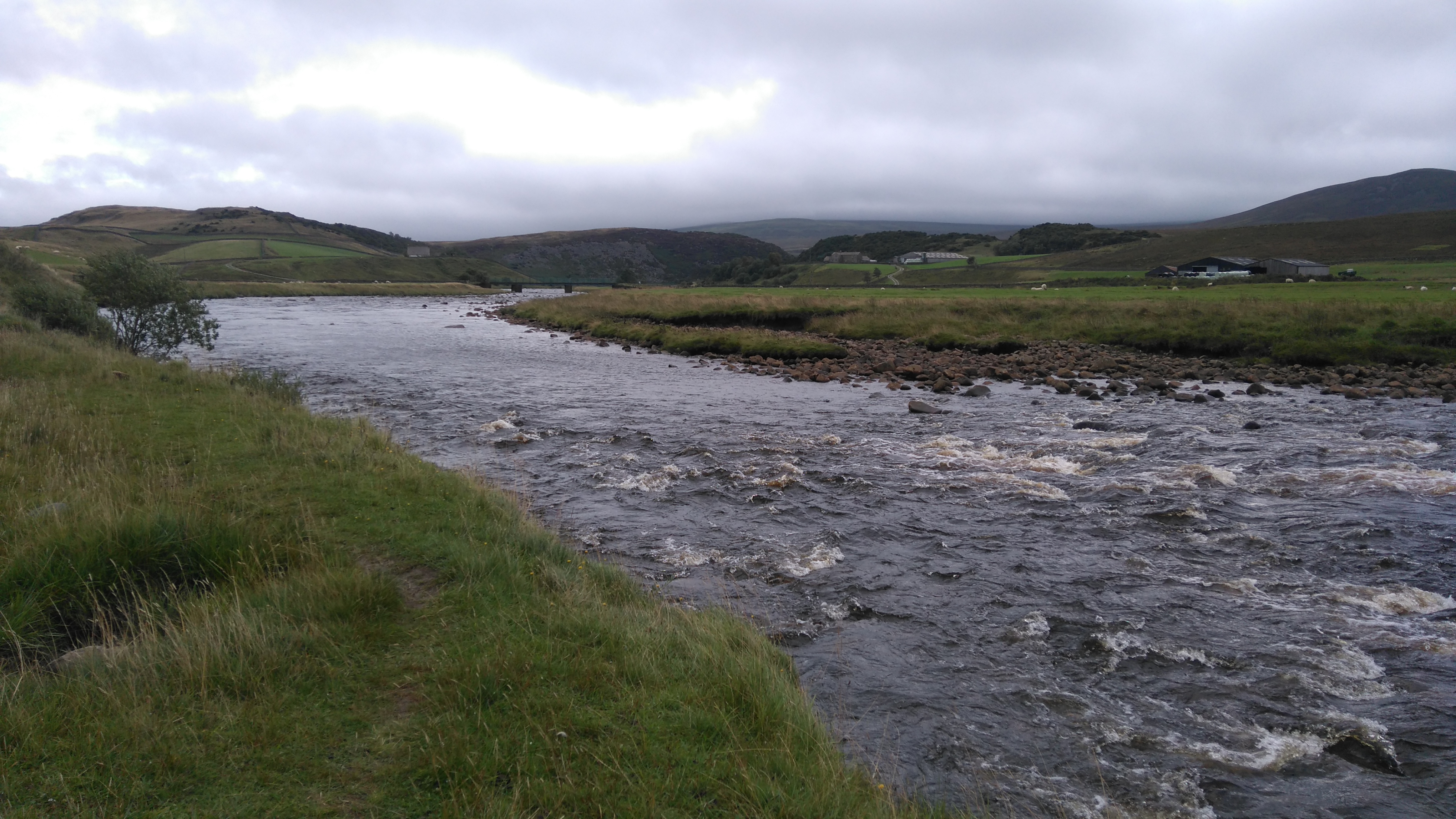
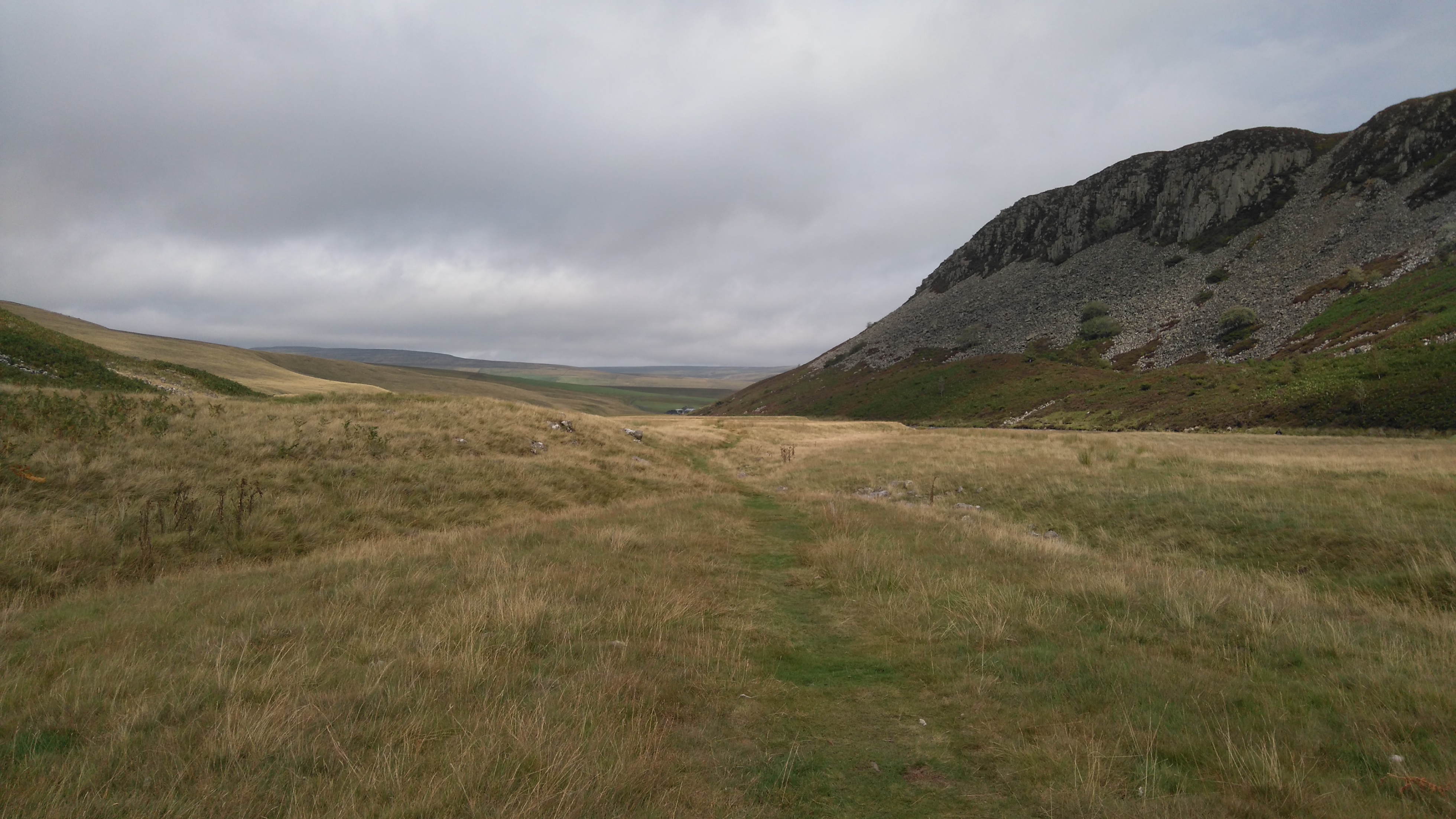
Stonesdale Moor
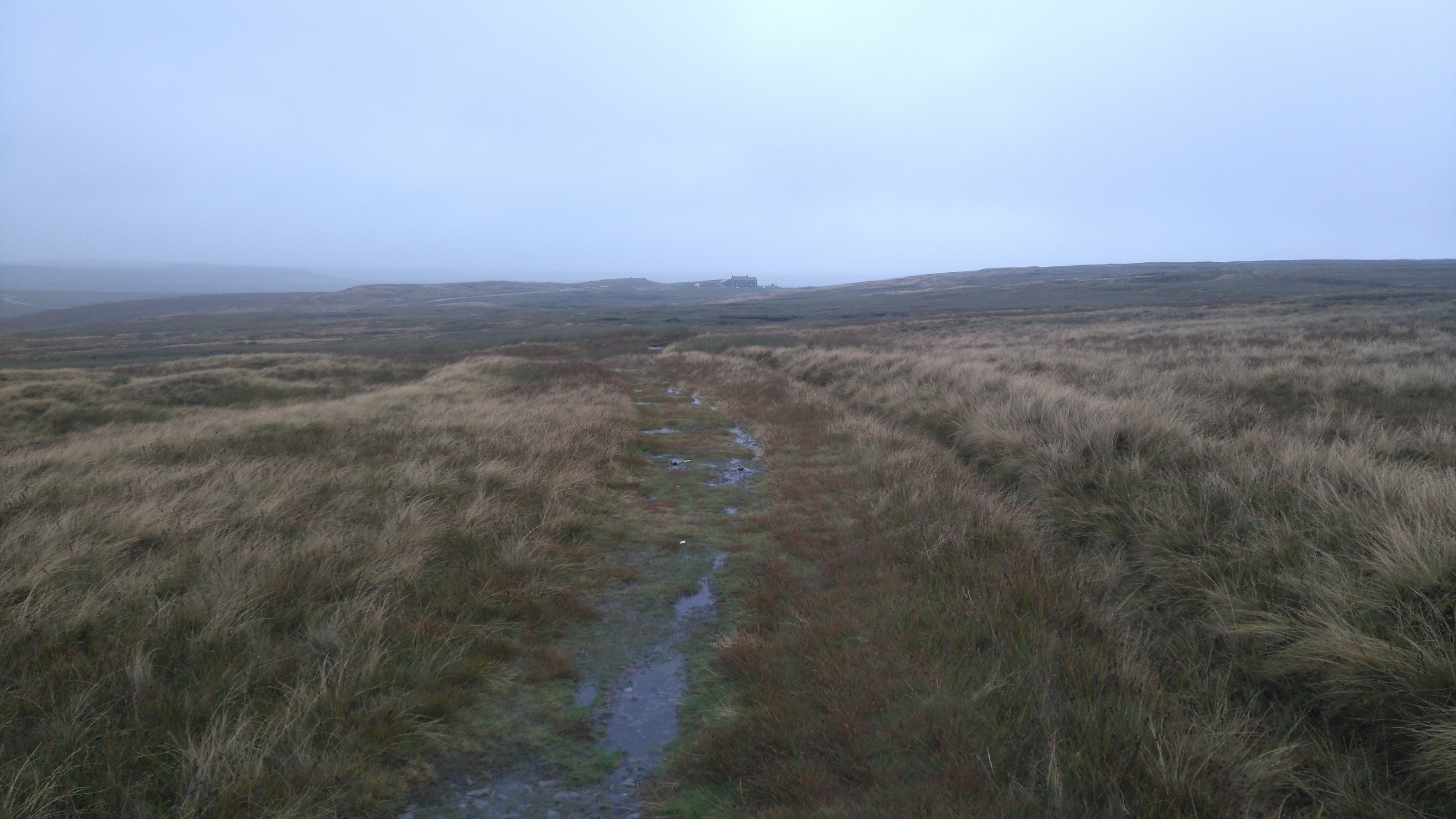
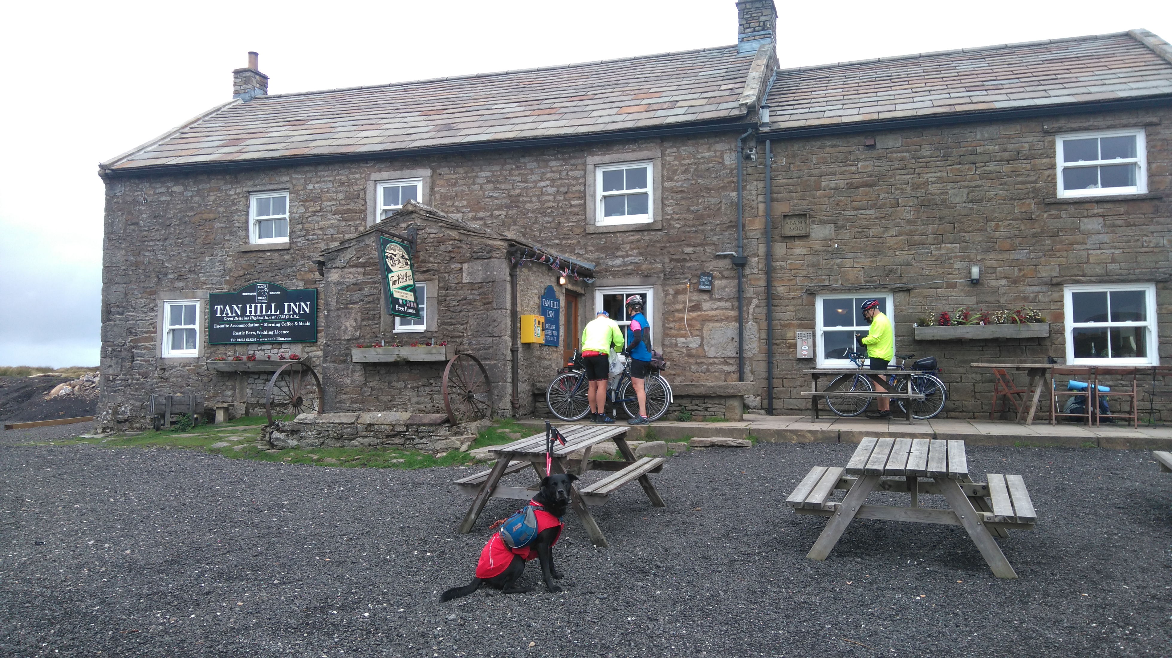
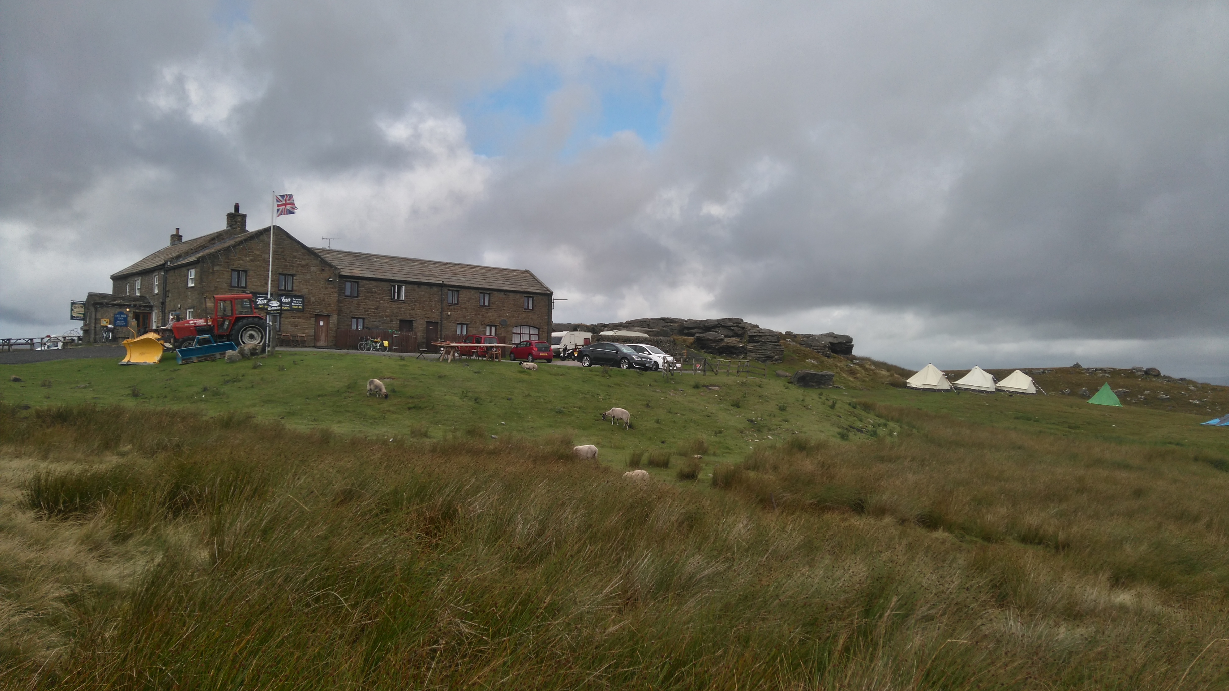
After a long wet and windy slog across the moors the safe haven of the Tan Hill Inn was reached, the highest pub in England at 528 m.
Day four: Tan Hill Inn to Baldersdale 12 miles.
Weather: sunny spells, a few short showers, windy.
A day of decent weather, soggy moorland, good views, lunch at God's Bridge, reaching the half-way point of the PW, more miles of moorland, cows chasing the dog, and a wild-camp by the reservoirs.
Highs:
Much better weather
A great breakfast in the pub
Dry clothes
Good views
A good camping spot
A beautiful sunset
Lows:
Lost my hat
PW3 day 4
Diary day four:
Thankfully we woke to decent weather, dry with some blue sky though still breezy. After a much needed cooked breakfast in the Inn, we packed up and started crossing a soggy Sleightholme Moor, trying to keep ahead of some very fit-looking elderly hikers. At a bridge the boggy trail gave way to a rough track, then crossed the Beck via a footbridge followed by a trail across a stretch of purple moorland to God's Bridge.
At God's Bridge we had a long relaxed lunch before going under the A66 and crossing a fairly dry Cotherstone Moor to Baldersdale. The shooters' hut at Deepdale Beck (partially open to hikers) was full of Scottish hikers, so we slowly trudged uphill to Race Yates (a hill top) then downhill to Clove Lodge (no longer a campsite) and the reservoirs.
While looking for a place to pitch, we came across a small herd of curious cows. One look at these big beasts and Lola bolted, bags and all across the field, with me walking as fast as I could to catch up, followed by some very amused cattle. A good deal of dog-whispering was needed to convince Lola I would keep her safe, and she was put on the lead for awhile.
The Tan Hill Inn
Lola patiently waiting and posing in front of the Inn.
Tan Hill
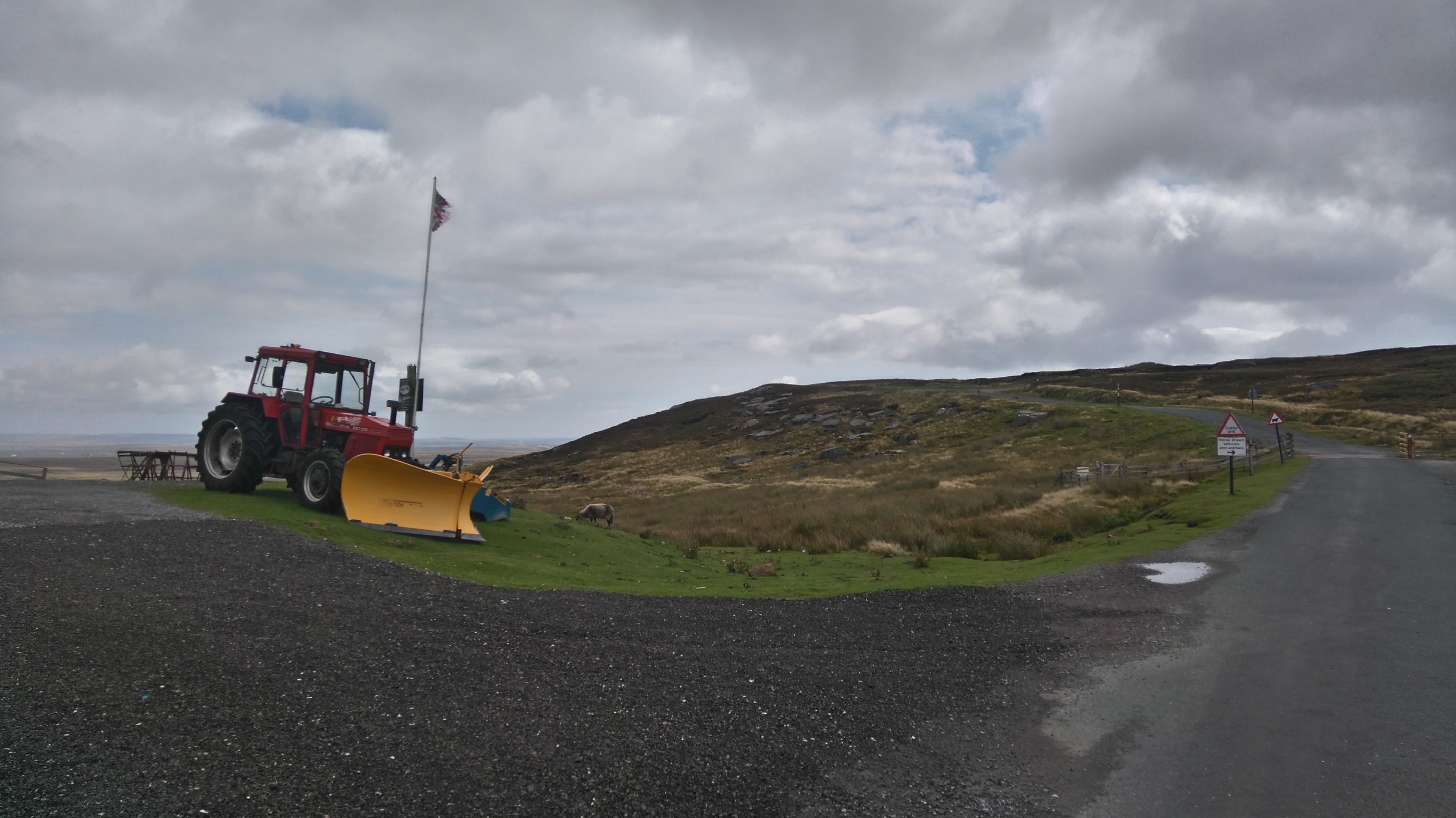
The snow-plough, ready for harsh winter conditions.
Tan Hill
After a large cooked breakfast in the pub, we set off across the notoriously boggy Sleightholme Moor. How bad can it be after the heatwave we'd had? Waterproof socks saved the day - well feet anyway. The weather gods had been kind, despite one or two short sharp showers, the sun occasionally came out and made walking a lot more enjoyable.
Sleightholme Moor
"Dogs to be kept on a lead" Lola is scared of livestock and runs off when she comes across cows...very fast in the opposite direction. I did carry a lead, used it a few times when needed, and always made sure she was close by.
Sleightholme Moor
The bogginess started...no problem, the path looked dry...but not for long! The threat of being overtaken by some elderly hikers we met earlier, and we could see some distance behind, made us try to cover this swamp at a good speed. Later when reaching the bridge and firmer land we looked back and saw no one...
Sleightholme Moor
Despite waterproof socks, detours had to be made to keep the rest of me dry also. Looking back, Tan Hill, and later just the hill it sits on, could be seen for many miles further along the trail.
Sleightholme Moor
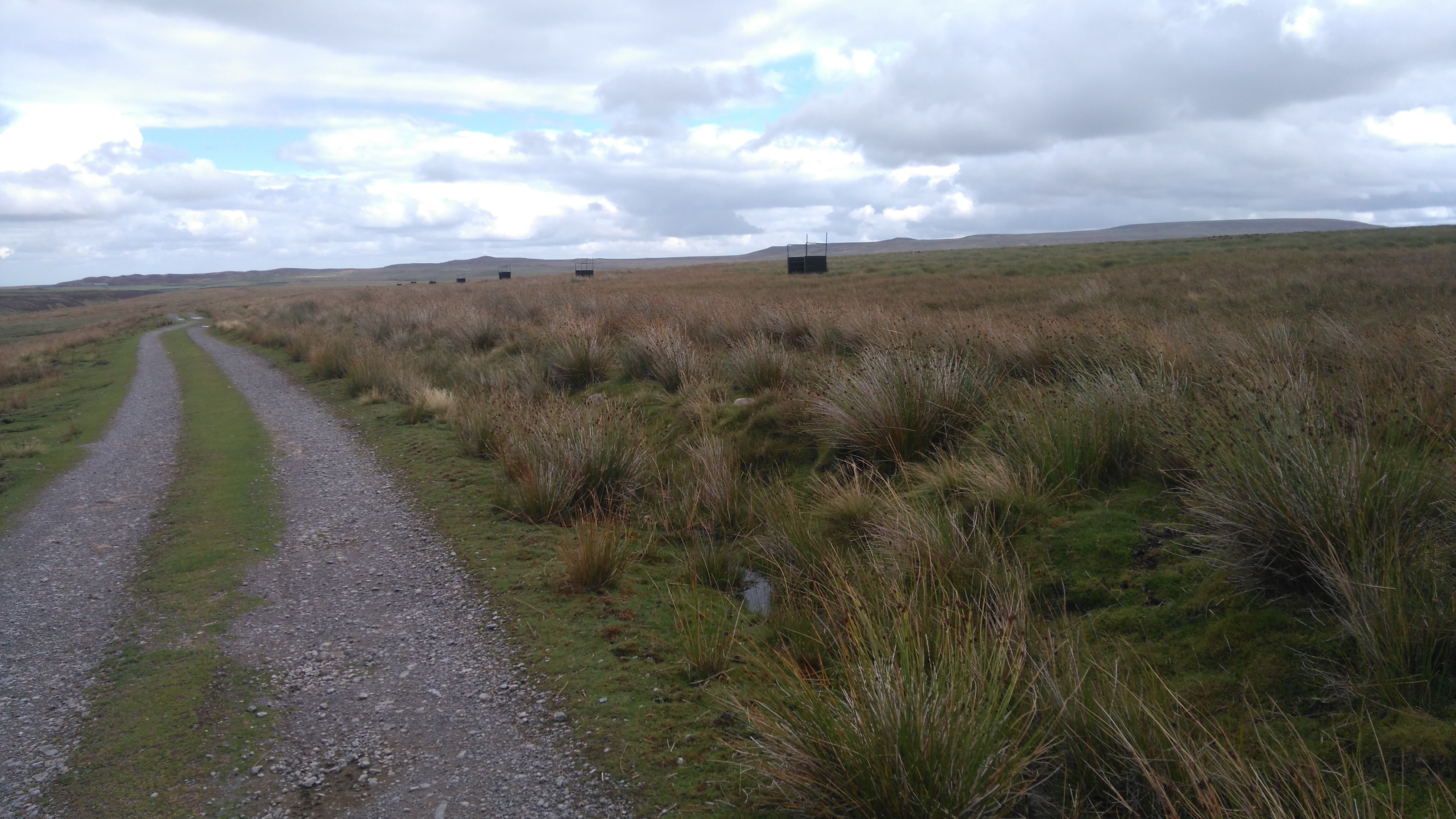
Eventually dry land was reached, a bridge then a paved track, which was hard on the feet. On one side shooting butts, for shooting grouse, appeared in a long row on the moor.
Sleightholme Moor
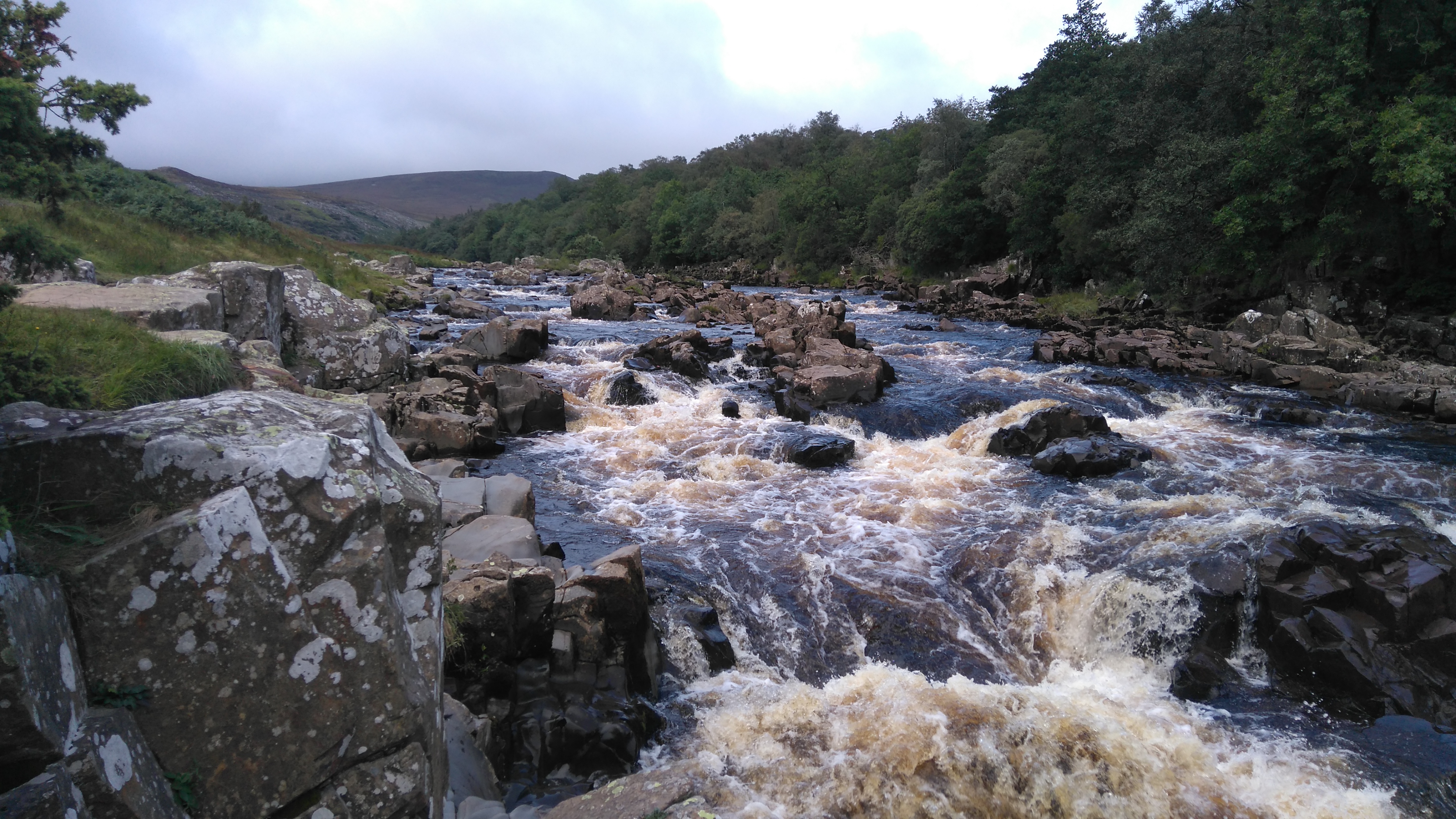
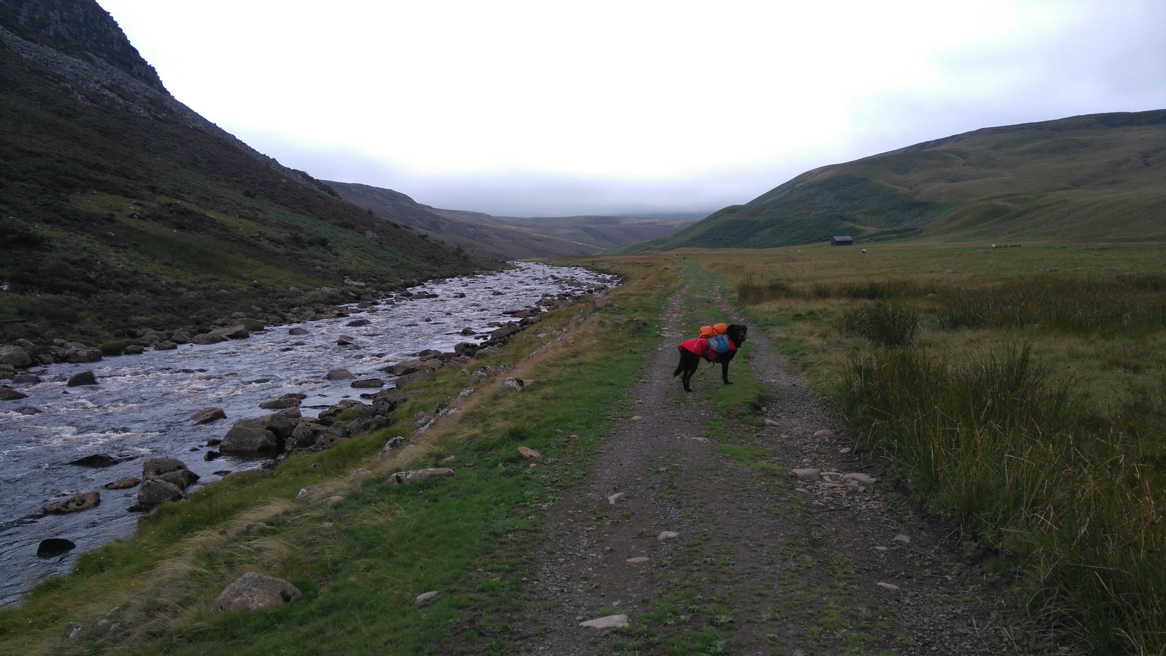
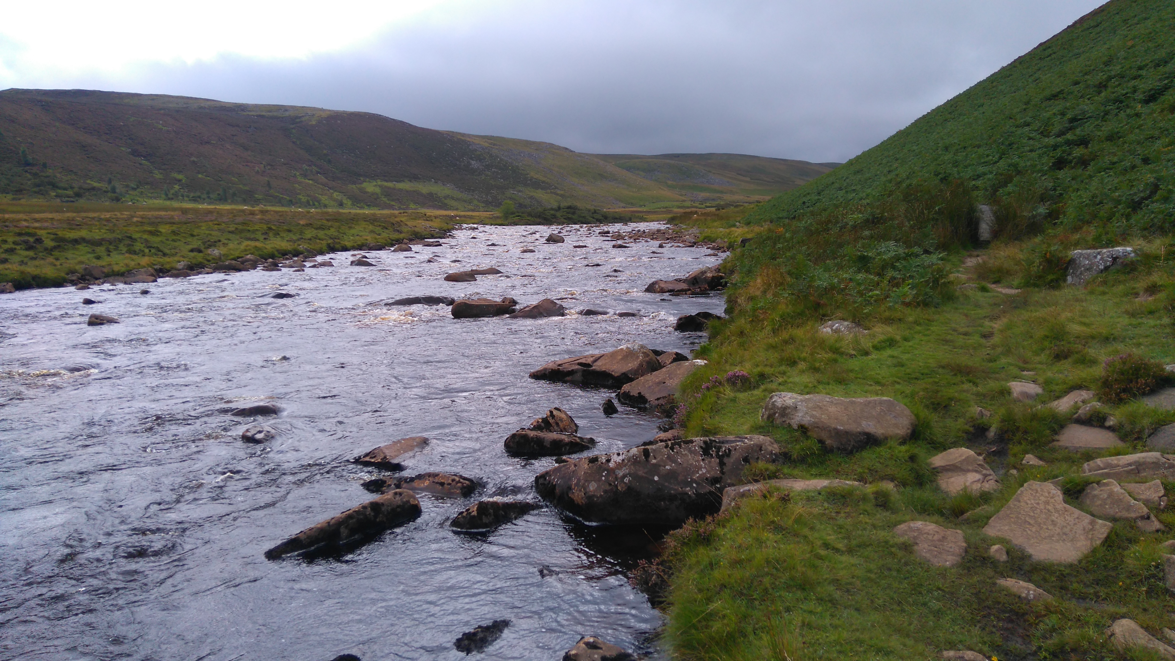
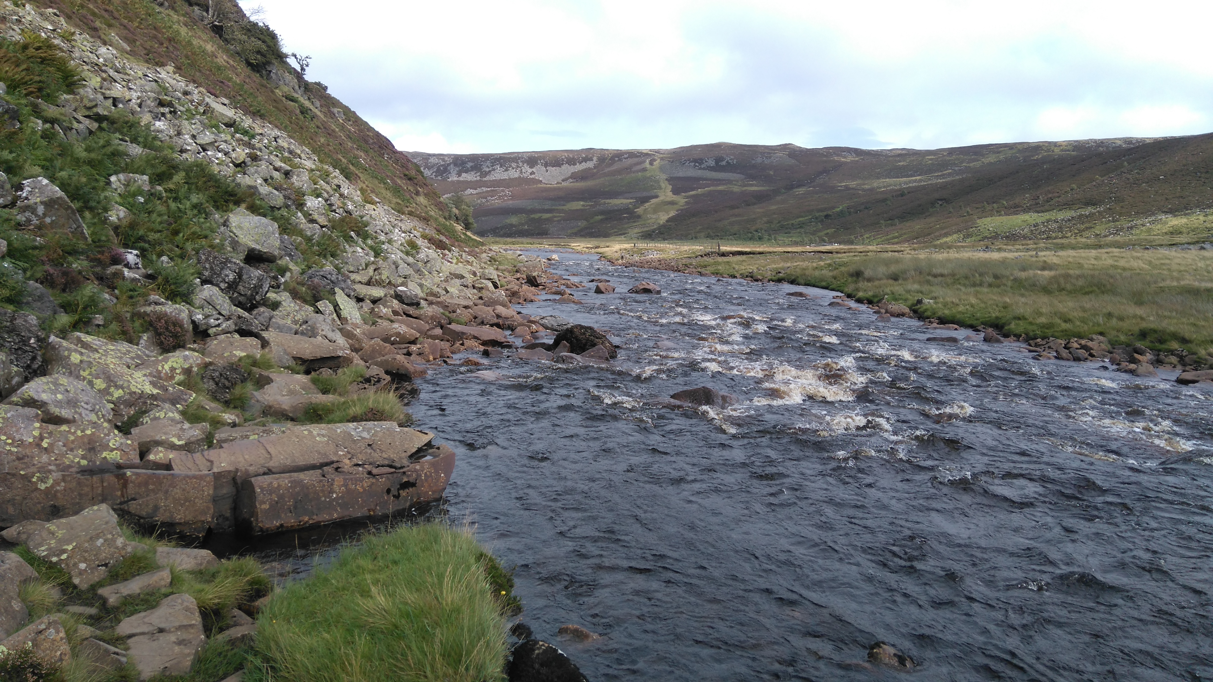
First we followed the much smaller Frumming Beck, later the larger and quite impressive Sleightholme Beck.
The Sleightholme Beck
Crossing the Sleightholme Beck using the footbridge.
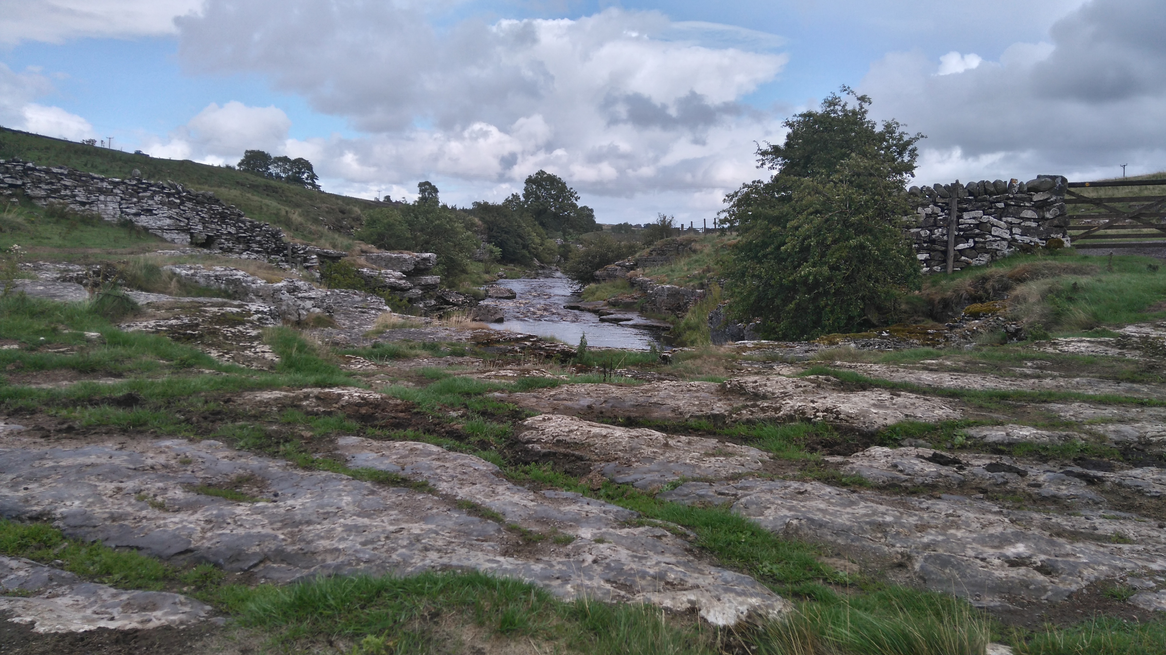
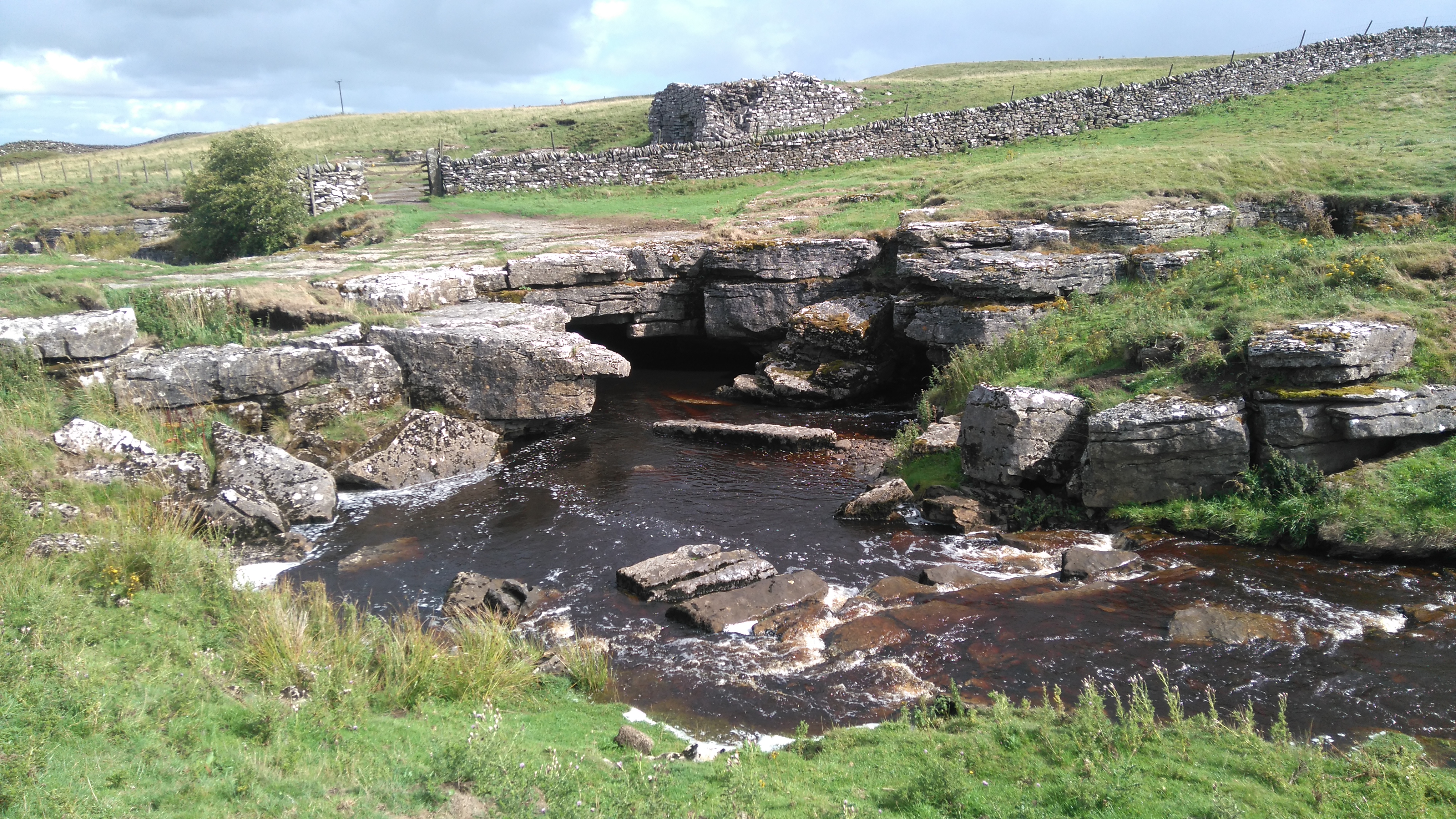
God's Bridge
God's Bridge, a natural limestone crossing across the river Greta.
God's Bridge
Here we had a long relaxed lunch siting on the grass in the sun. Lola napped while I took care of a small blister on my foot.
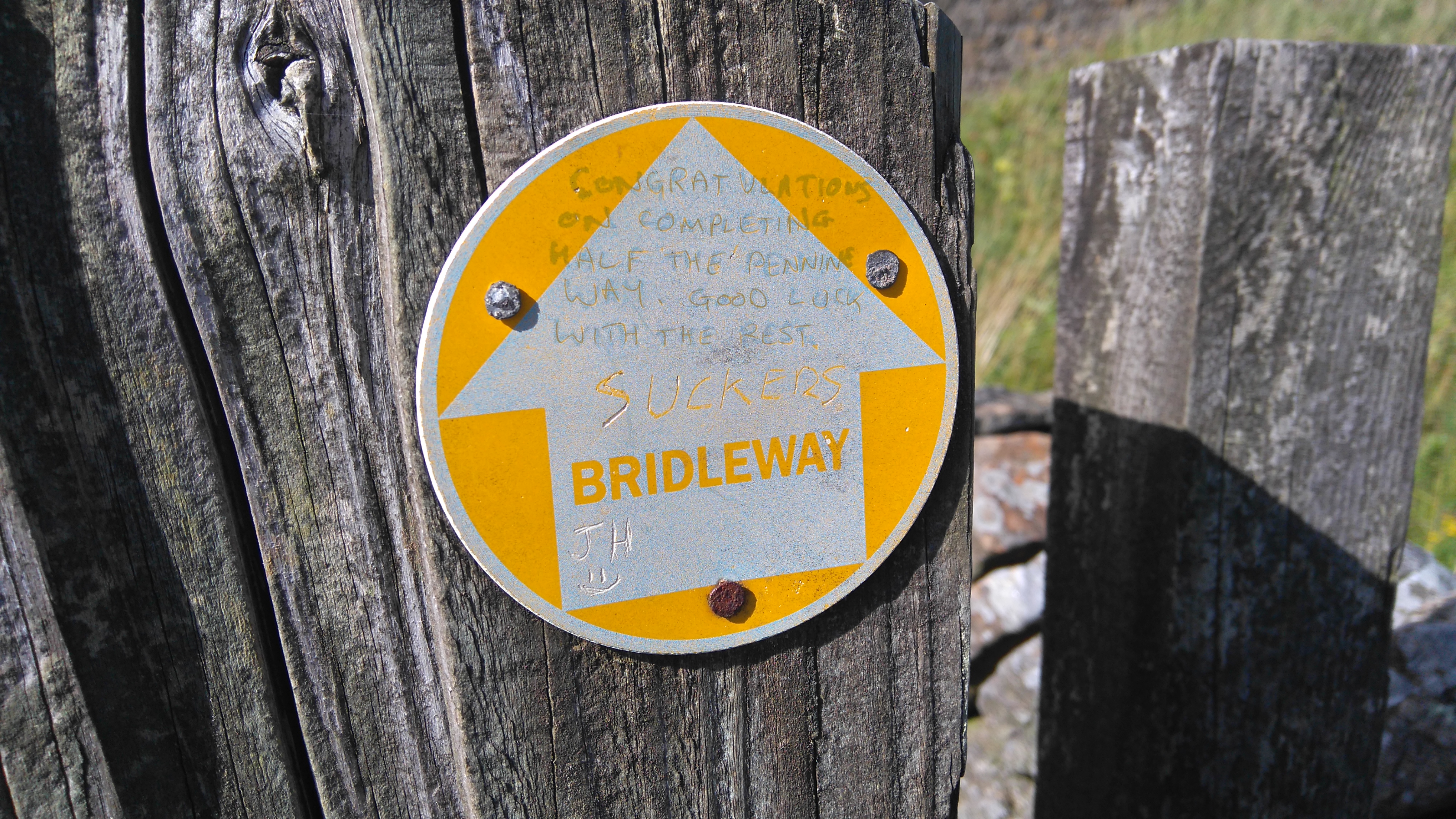
The A66 - half way
" Congratulations on completing half the Pennine Way. Good luck with the rest." Hooray! Suckers for punishment? Probably!
The A66 - half way
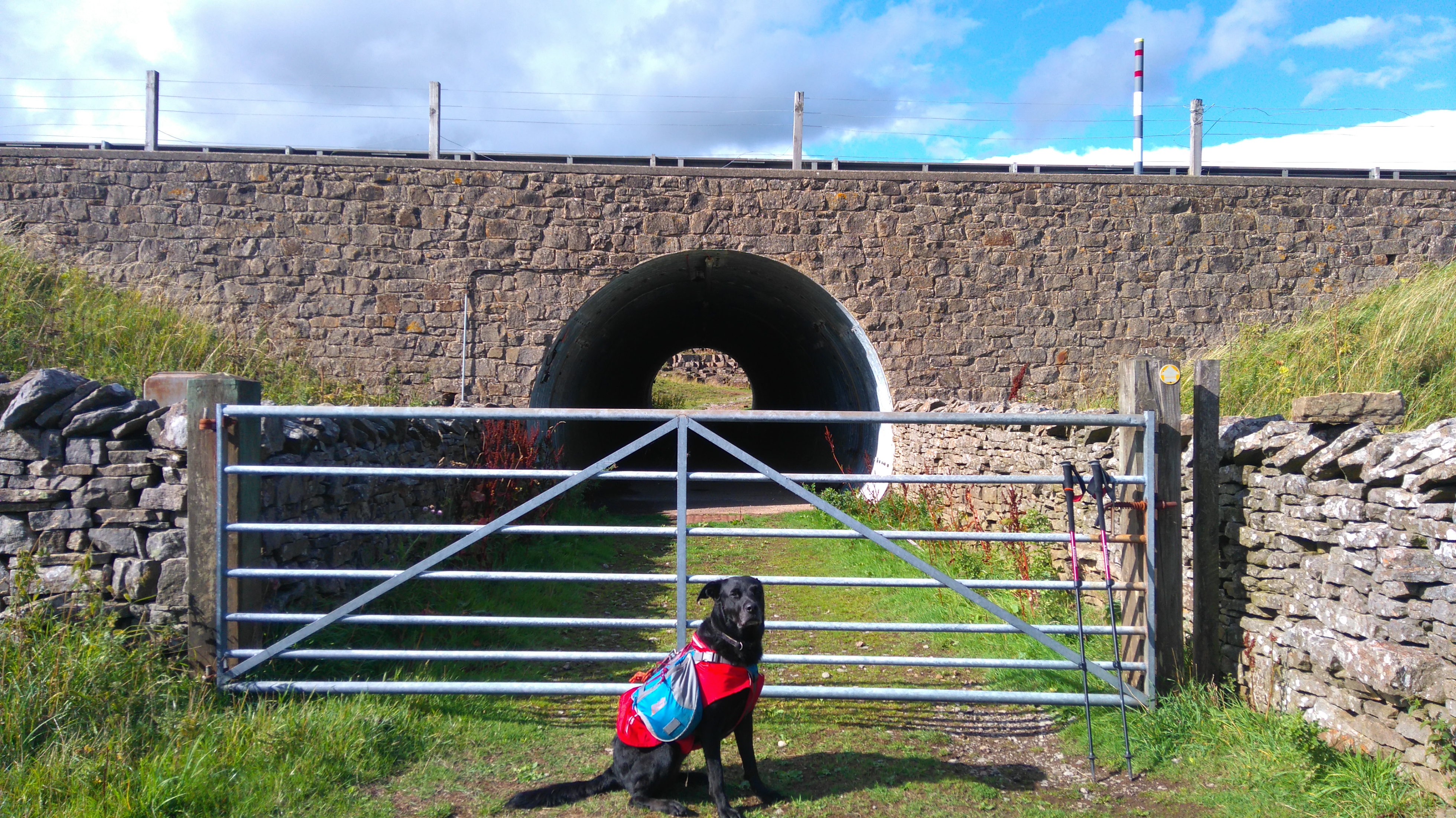
The tunnel under the very busy A66 giving safe passage.
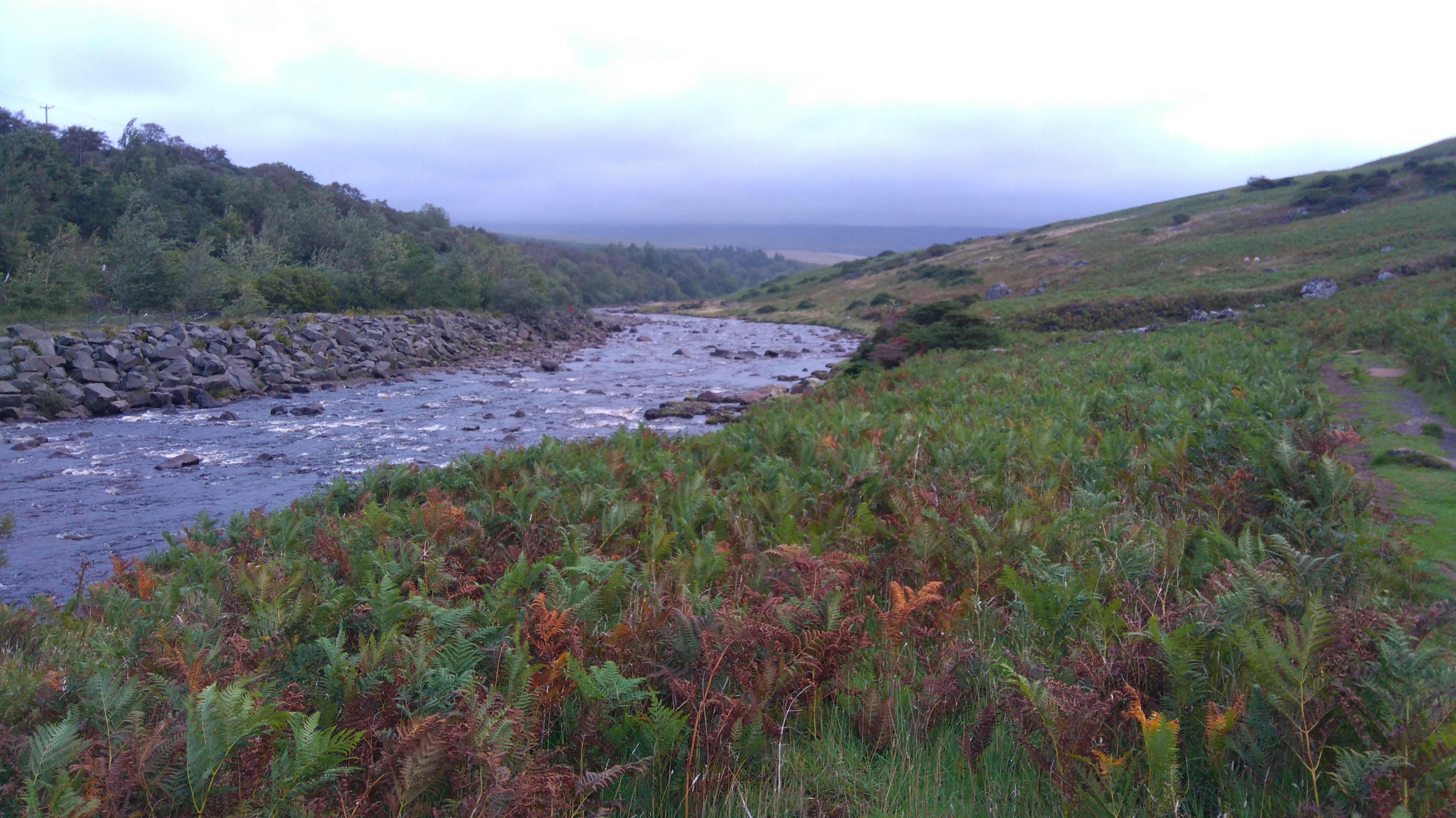
Cotherstone Moor
Leaving the road behind we started the trek across a fairly dry Cotherstone Moor to reach the reservoirs of Baldersdale.
Cotherstone Moor
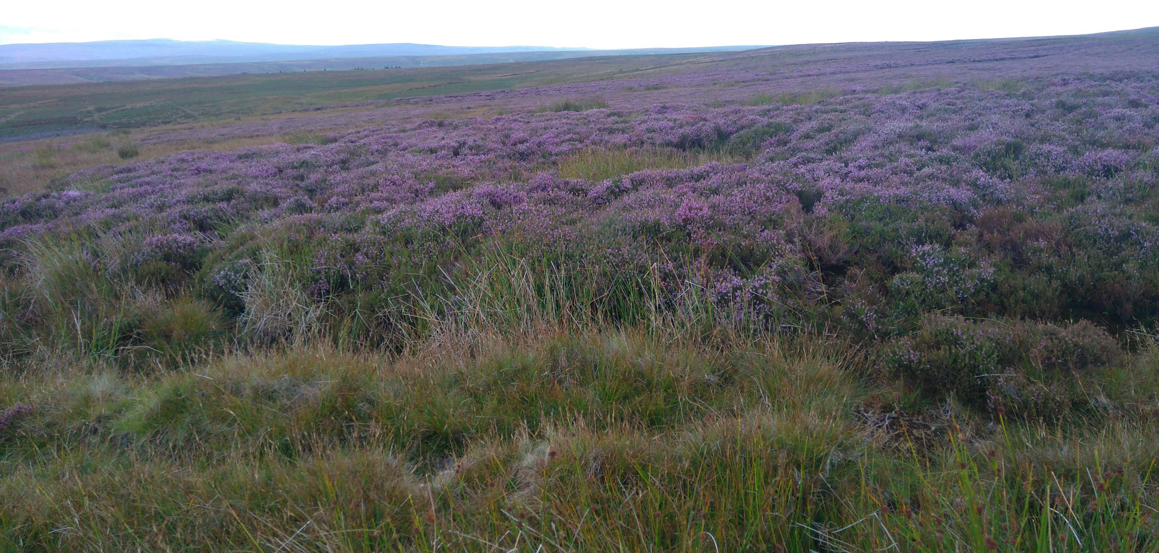
Miles of glorious purple...
Cotherstone Moor
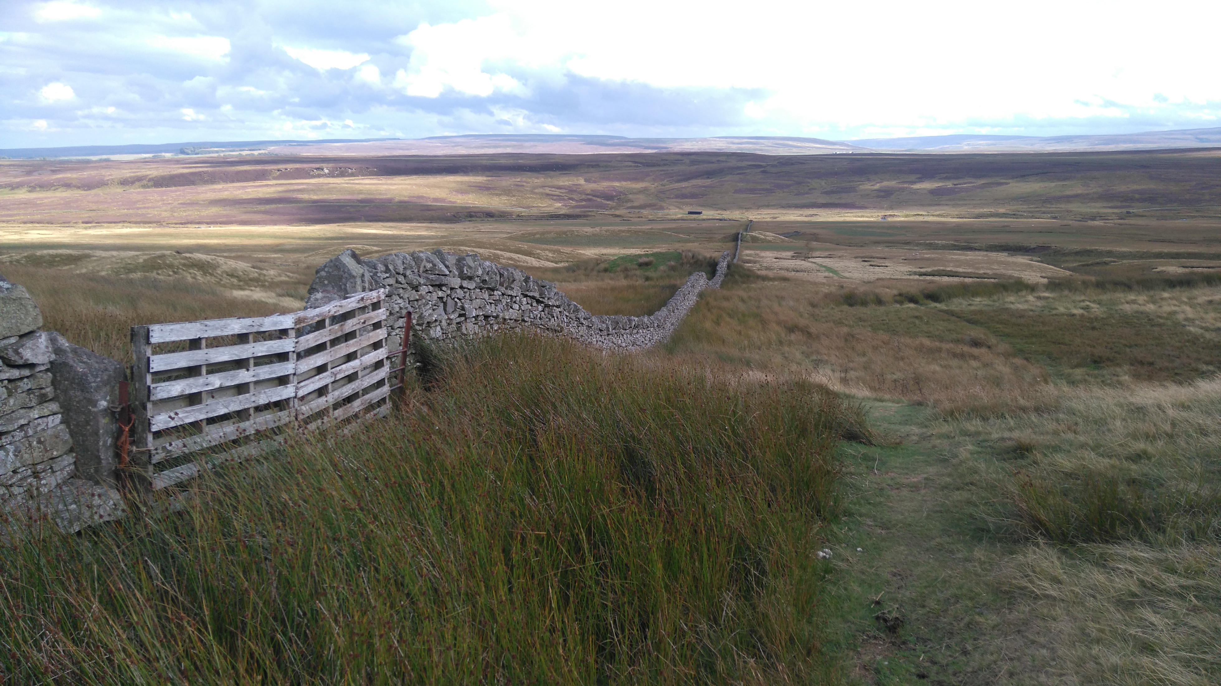
...miles of stone walls as well. Race Yates, a high point on the moor, was reached, Tan Hill is somewhere on the horizon. Somehow we missed the ruins of Ravock Castle, just a few stones in the long grass these days.
Cotherstone Moor
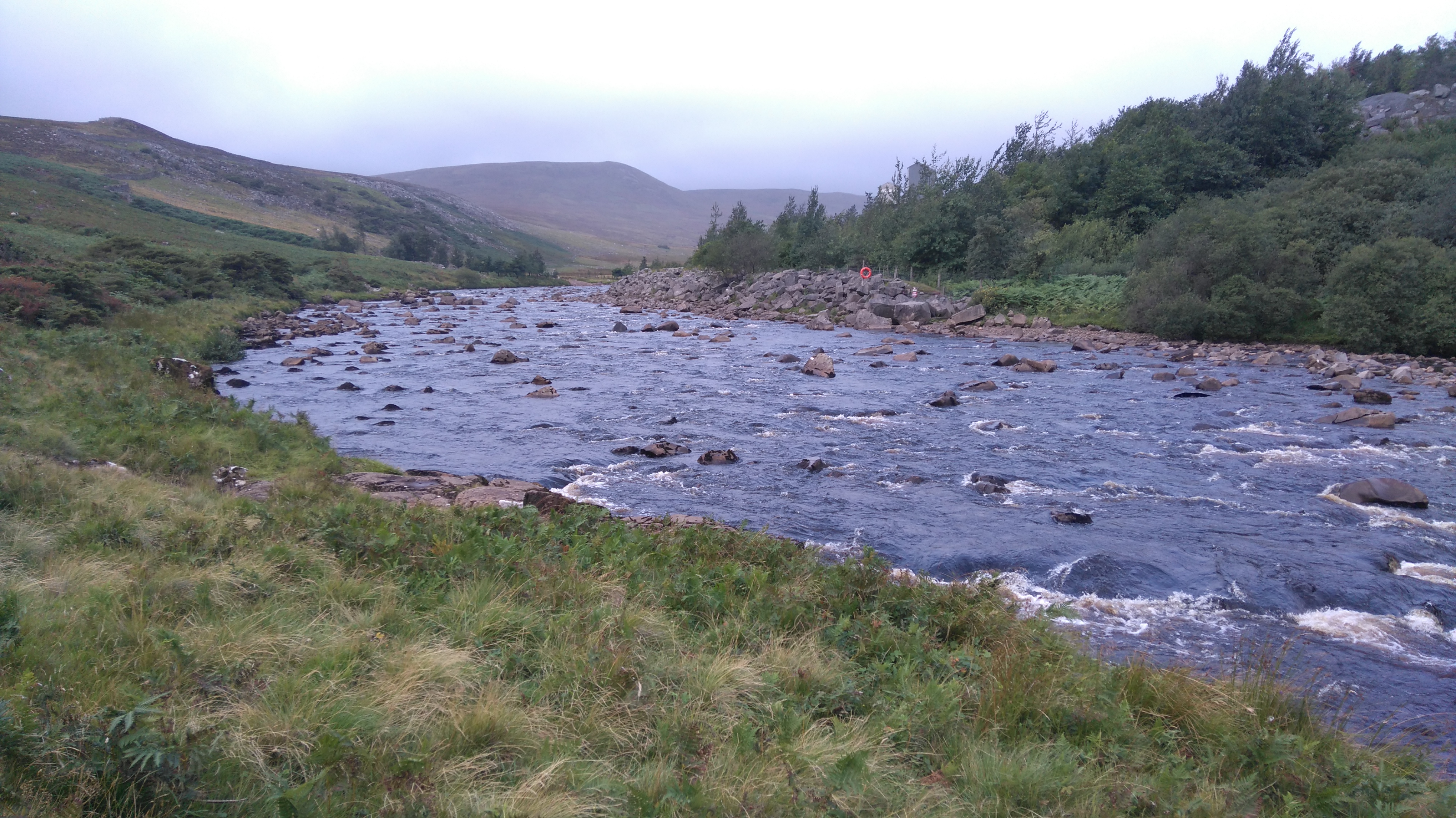
A few miles of easy but pathless moorland before reaching the first reservoirs. In the far distance, The Lune Forest and Dufton Fell.
Baldersdale
Eventually we found a nice little spot near Blackton Reservoir to pitch the tent.
Day five: Baldersdale to Low Force 10 miles.
Weather: Sunny spells, breezy.
A day of reservoirs, farmland and gentle moorland, sheep chasing the dog, lunch in the pub, food shopping, more farmland, a beautiful river path, awesome waterfalls, and a wild-camp in woodland.
Highs:
Good weather
An excellent pub-lunch
The rapids and waterfalls
A great camping spot
Lows:
the many narrow styles
PW3 day five
Diary day five:
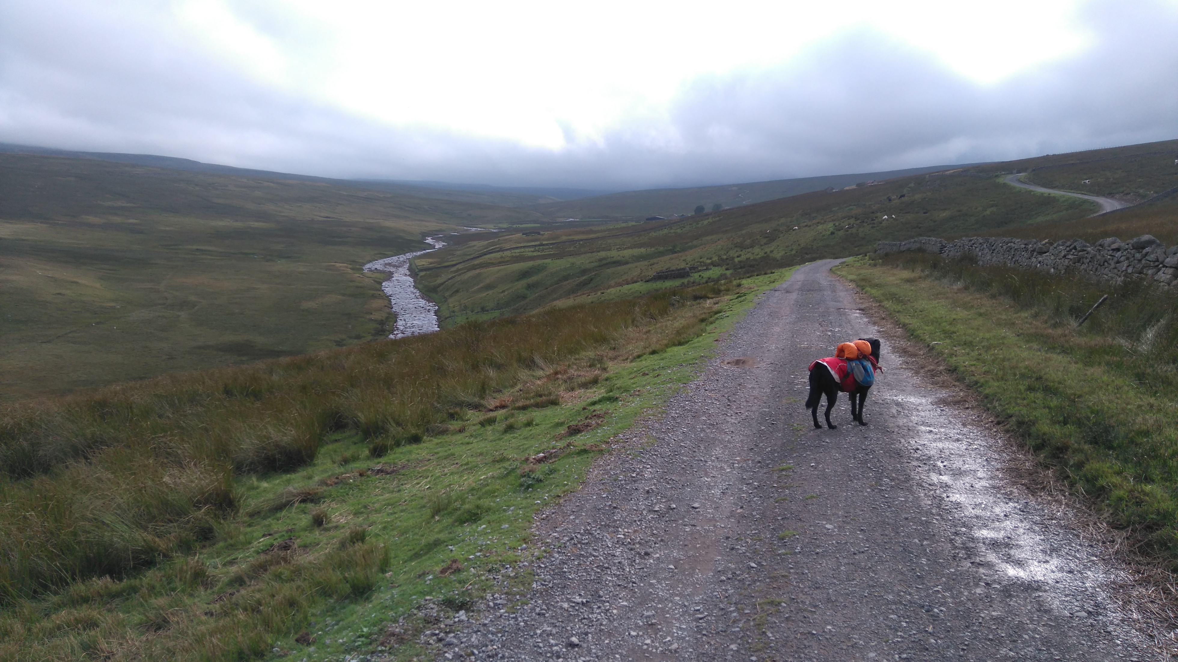
After washing hair and some clothes, eating breakfast and packing up, we headed up the hill past Hannah's Meadow nature reserve, and across a few miles of moorland to Grassholme reservoir. Then a few more miles of farmland and moorland before getting to Middleton-in -Teesdale.
Wythes Farm, a mile or so from the reservoir, had a selection of snacks and drinks on offer, unfortunately I had no change at all. When crossing some fields, we got followed by a small posse of sheep, showing no fear at all of the dog, who eyed up the woollie creatures with distrust before scarpering out of the way.
I had been exited about Middleton, which sounded like a nice place to have lunch and shop, and the river Tees and its waterfalls. Lunch was had in a quiet dog-friendly pub with a french menu, the food was excellent and not expensive. After buying some snacks and dog-food from the local mini-mart, we found the river path and headed upstream in search of a good place to pitch up.
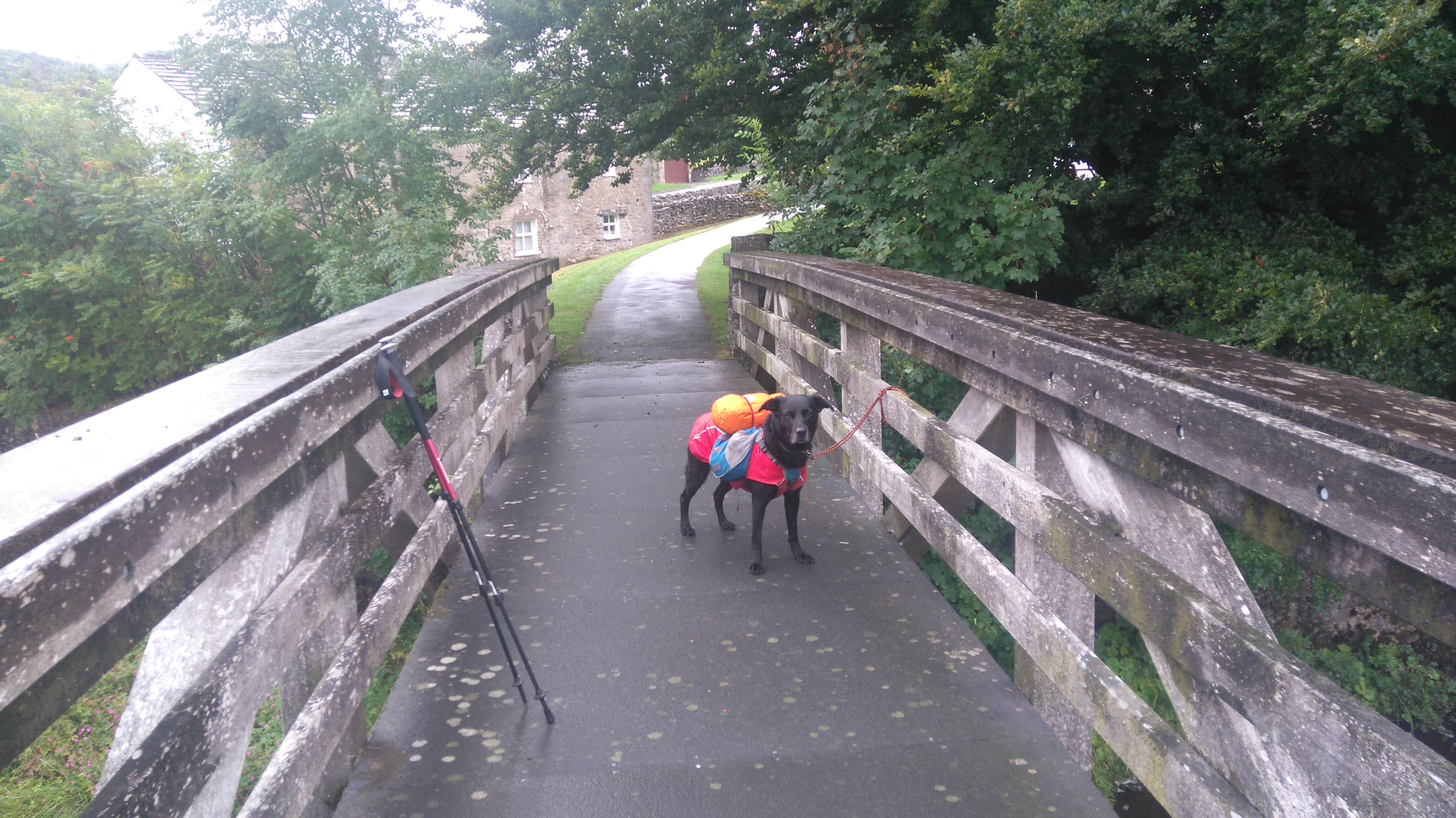
What I assumed was going to be an easy stroll along the river, turned into an awkward obstacle course; a dog with panniers and narrow Yorkshire styles do not mix. Several small spare bin-liners saved the day. By packing the contents of the panniers into two equal bags I could simply lift these out of the panniers instead of taking the whole thing off every time. This only took two days to figure out...
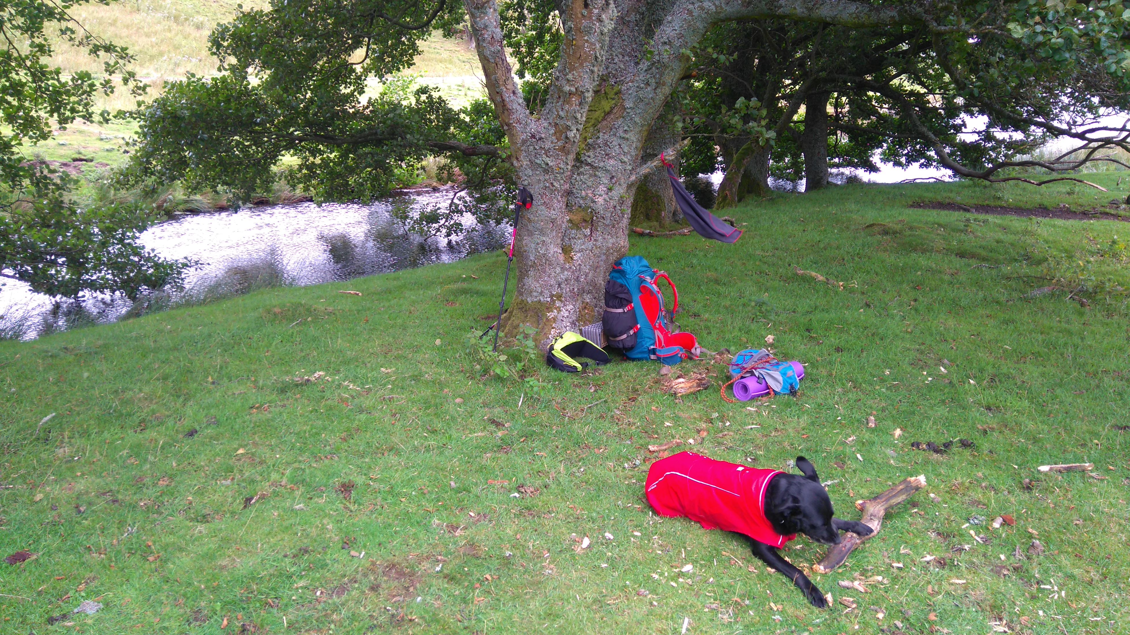
A small campsite, just a windy field with toilets, was rejected when a large noisy family with several crates of beer turned up, as well as the lack of showers. Near Low Force a secluded spot was found in some woods. We spent the evening admiring the falls and taking selfies with some works of art (big mirrors) under the big pine trees.
Baldersdale
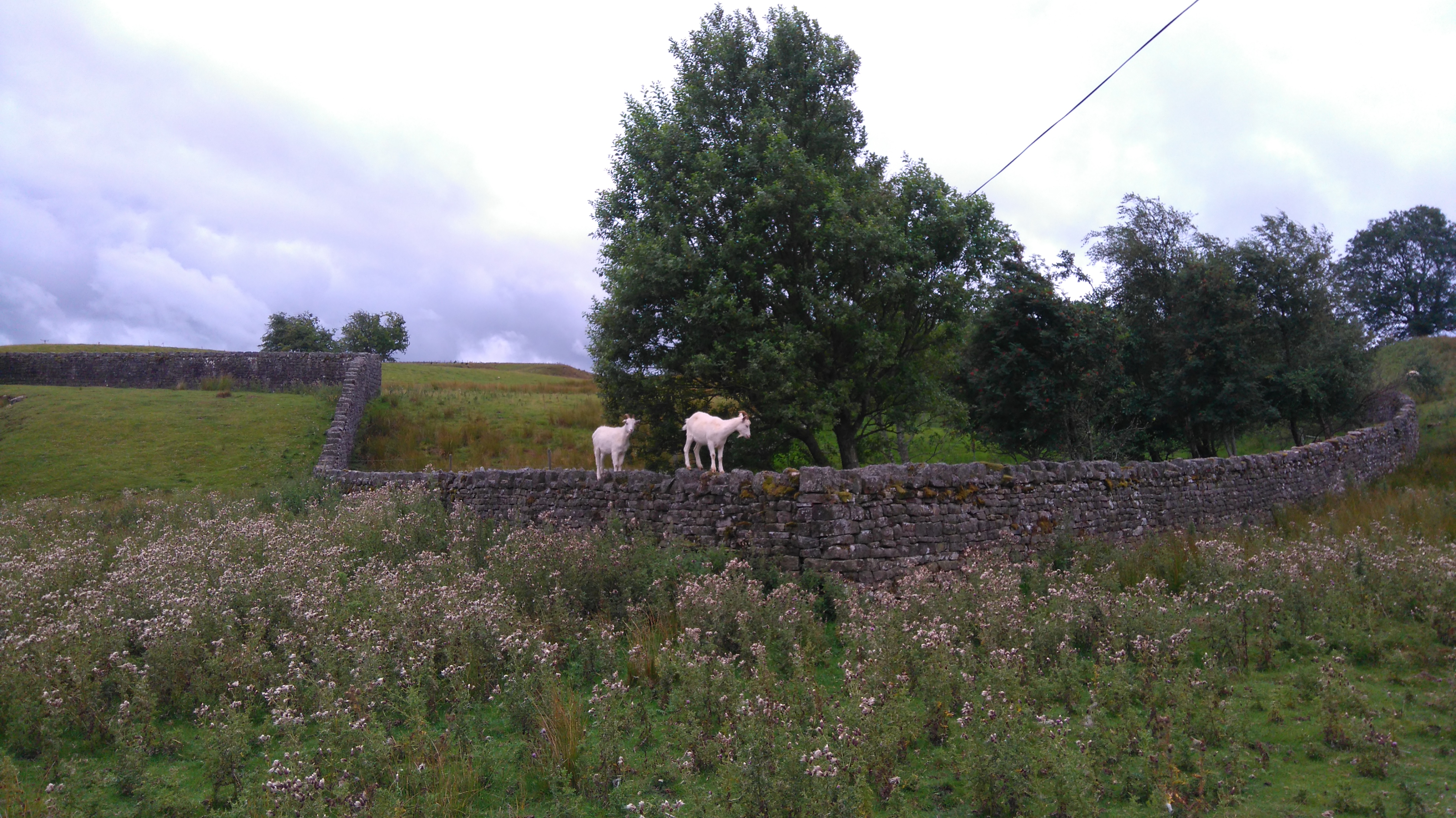
A wash in the stream, a happy dog, funny goats and good weather made a fine start to the day.
Baldersdale
A nice flat pitch by the stream.
Baldersdale
Acrobatic goats eating the leaves off the trees.
Baldersdale
Having a mooch near our camp. Fields of thistles...a ploy to keep campers at bay?
Baldersdale
Some clothes were washed and would hopefully dry in the breeze while hanging off my pack.
Baldersdale
Balderhead reservoir. We could have played on the beach but miles had to be walked.
Baldersdale
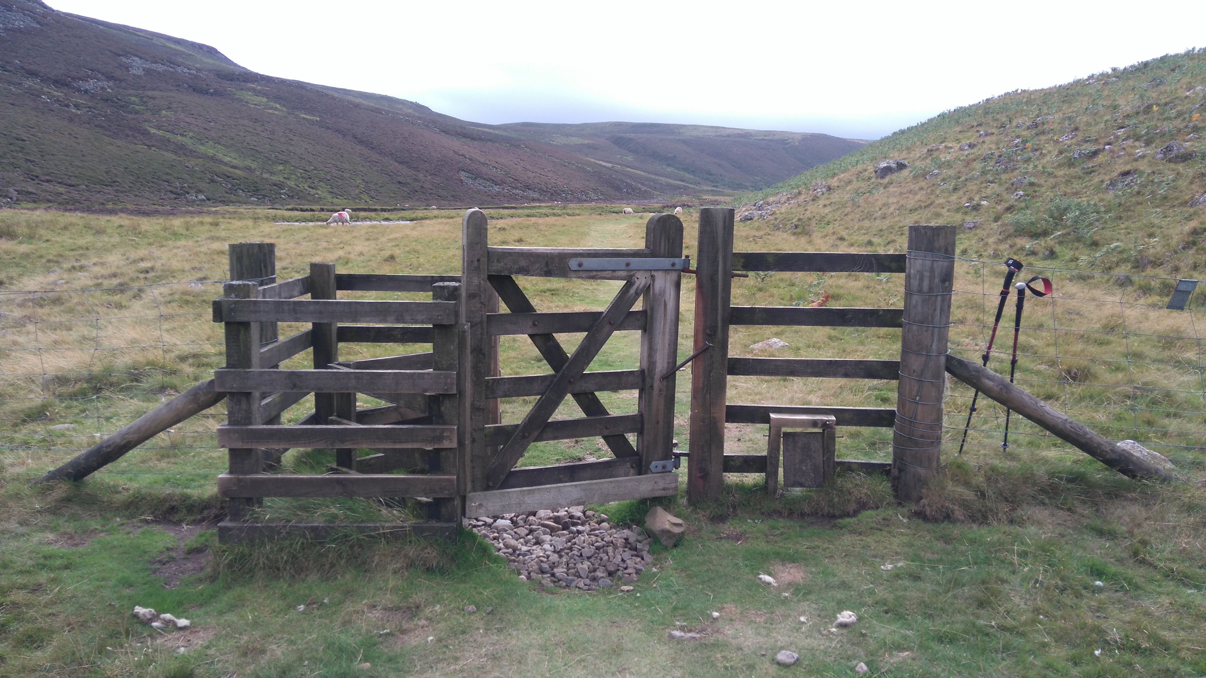
An example of one of the many different awkward styles for furry friends. This one needs to be climbed and jumped.
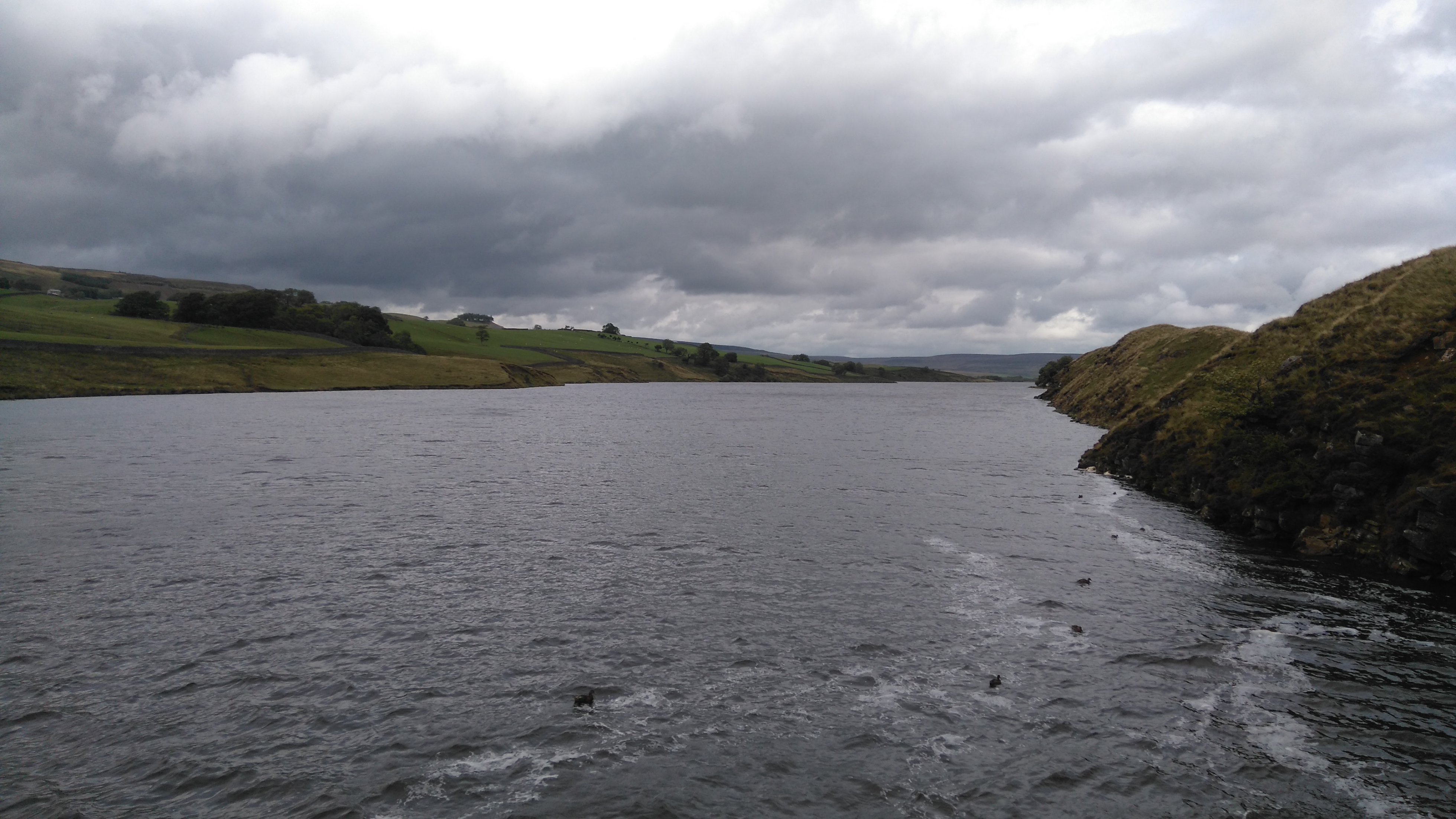
Grassholme Reservoir (looking east)
Grassholme Reservoir (looking west)
Approaching Middleton-in-Teesdale
After crossing some farm land and moorland we reached Middleton-in-Teesdale.
Middleton-in-Teesdale
A dog-friendly quiet pub served a fantastic meal.
When buying dog biscuits in the village shop, the lady serving shot me a funny look. They should be used to hikers with rucksacks...maybe I smelled weird...four days and no shower...
Then a chap came in saying he'd just seen a dog tied up outside carrying its own bags. The lady looked at me, laughed and exclaimed "Oh I thought these were for you!".
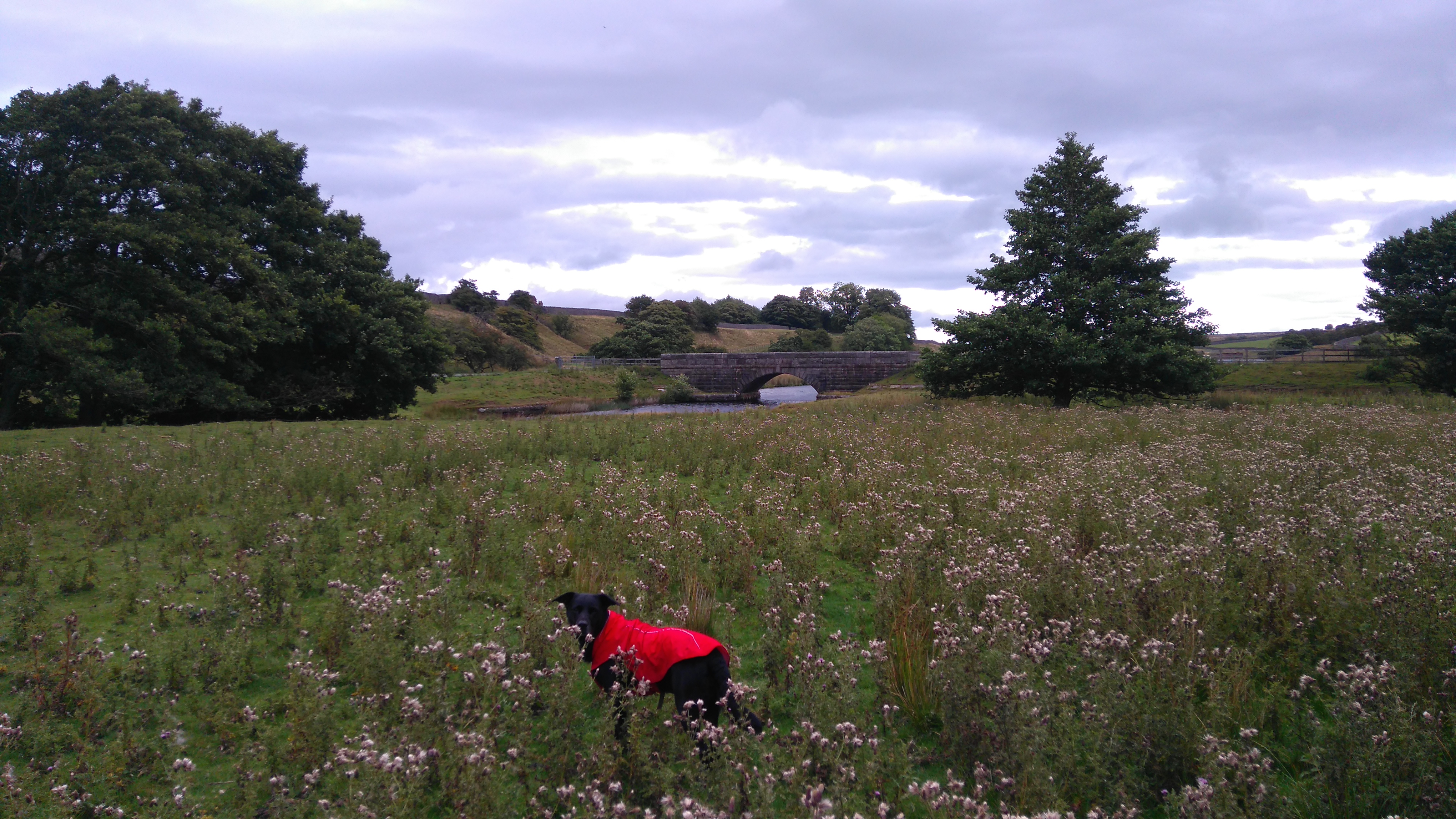
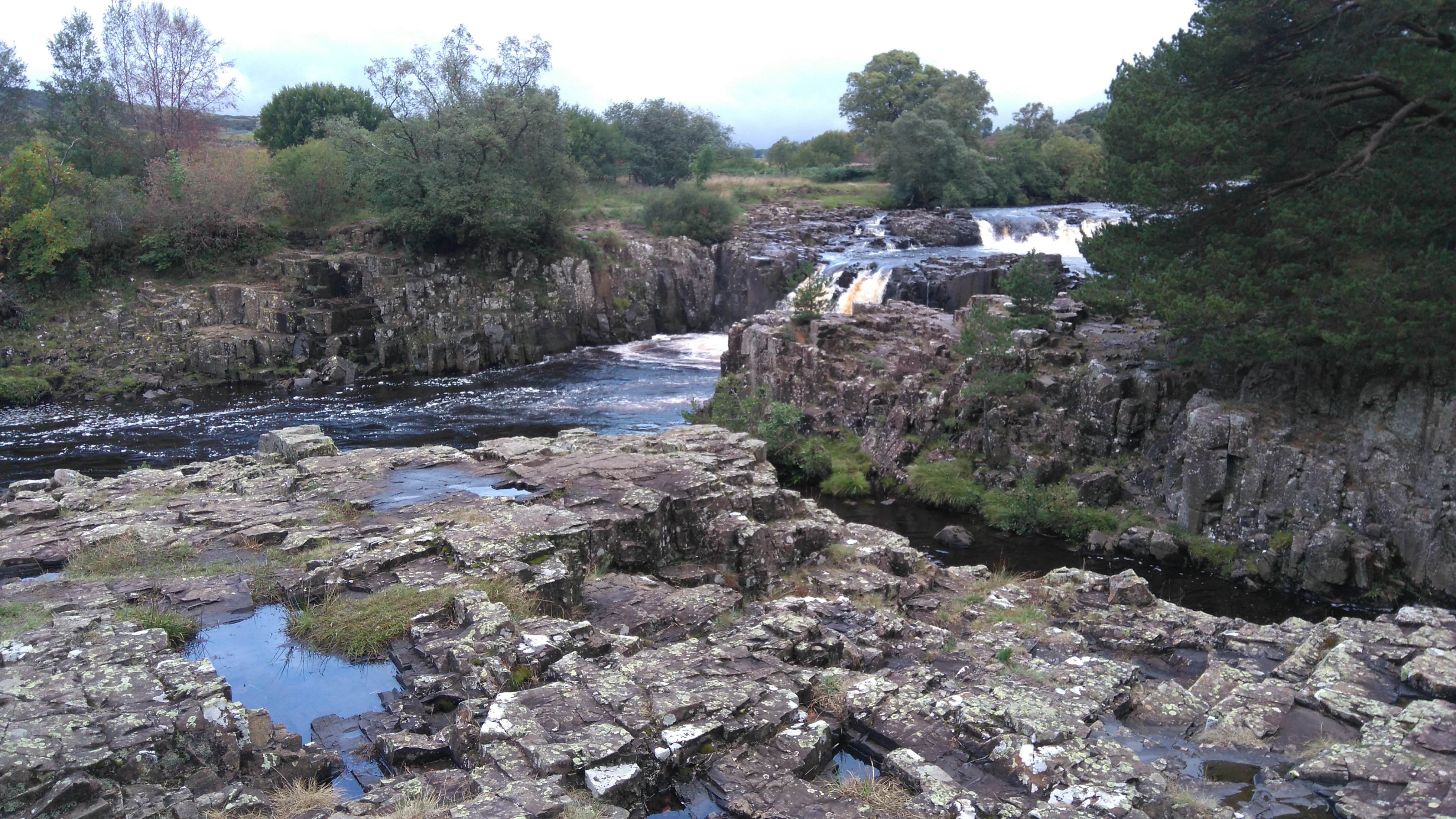
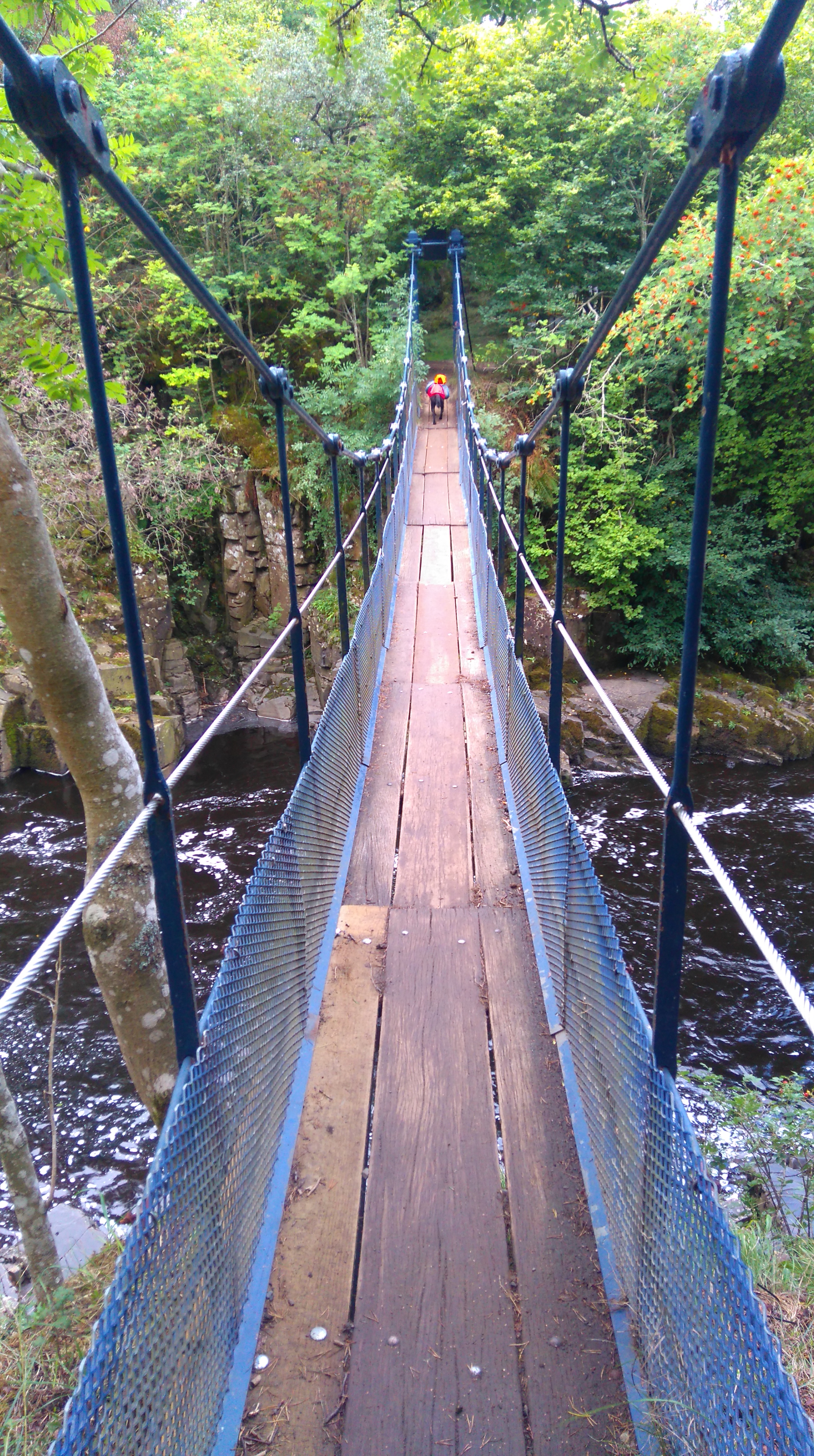
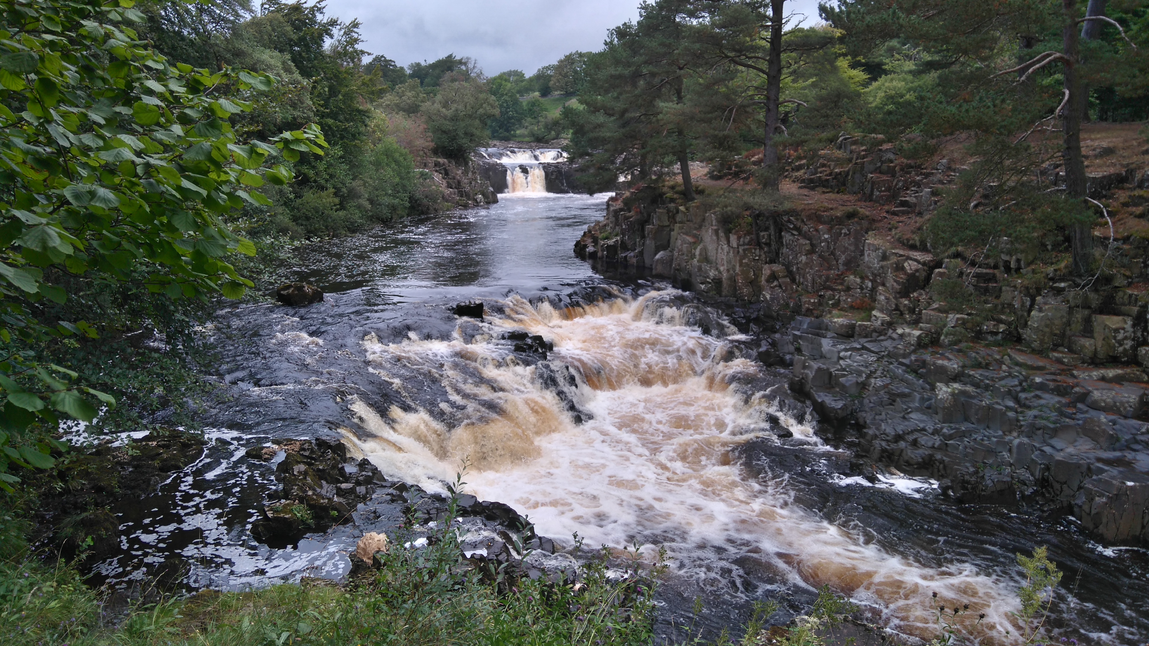
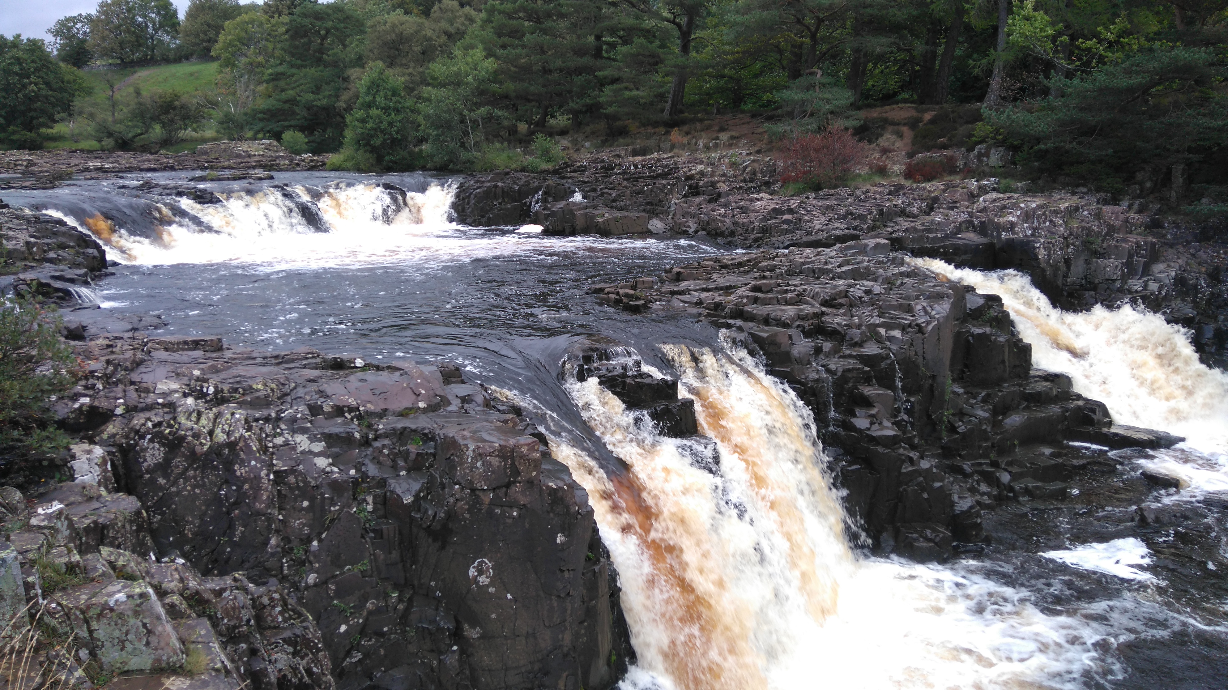
Low Force
We followed the river Tees to this suspension bridge at Low Force, where the tent was pitched out of the way in some woods. A fine evening was spent just enjoying the scenery.
Day six: Low Force to Maize Beck 12 miles.
Weather: sunny spells, windy.
A day of fantastic scenery following the river Tees, stunning waterfalls, rocky cliffs, a large reservoir, miles of lonely moorland, and a wild-camp in a sheepfold on the fell.
Highs:
Fantastic scenery
Good weather
Lows:
Tired legs
PW3 day six
Diary day six:
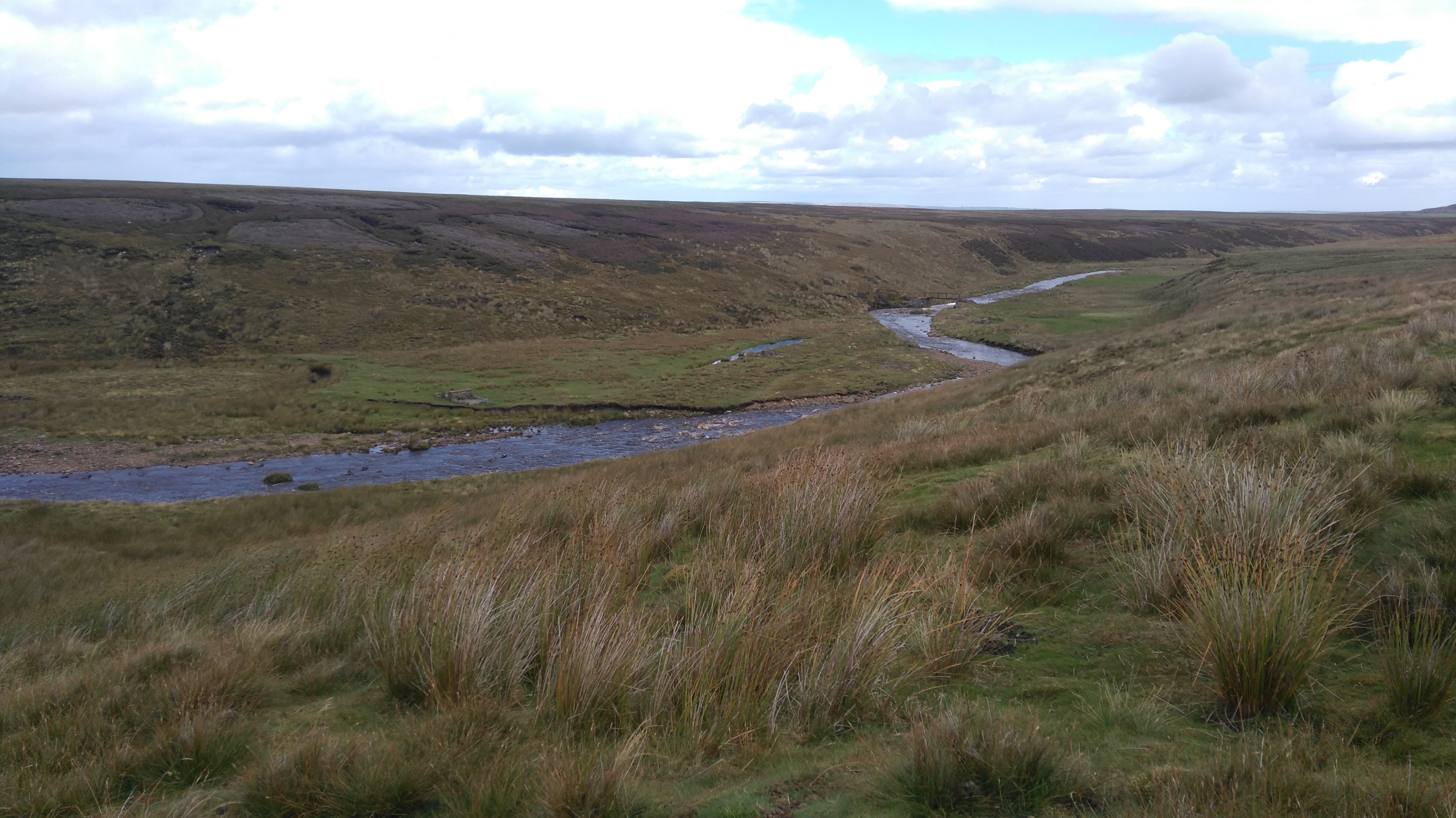
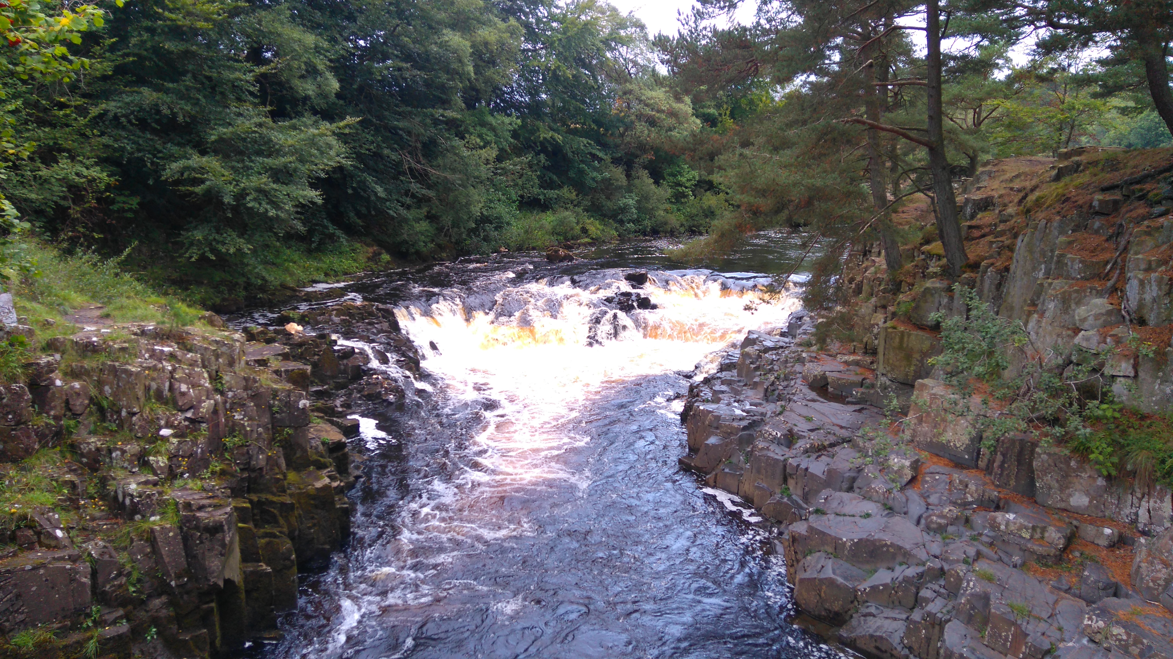
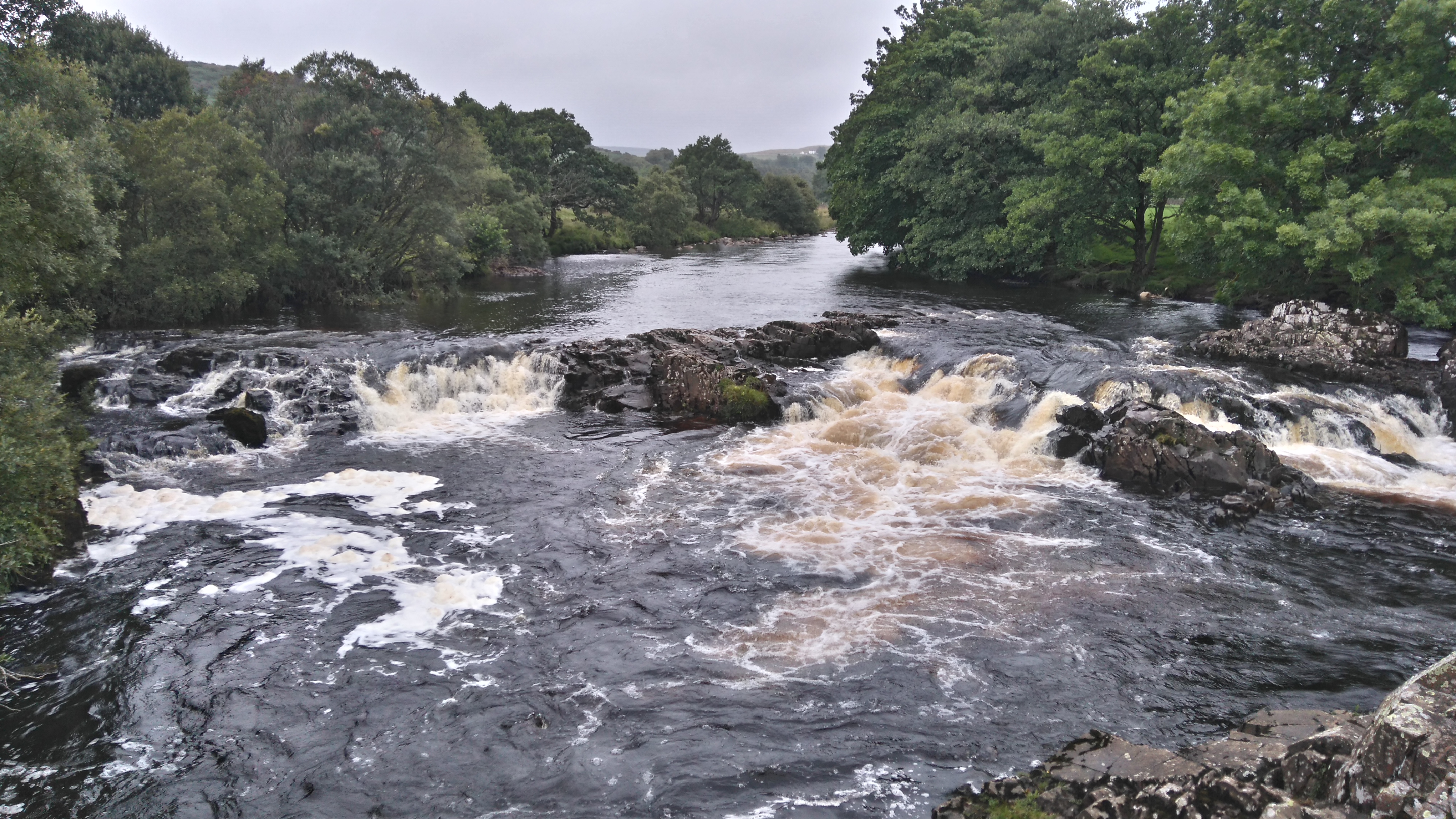
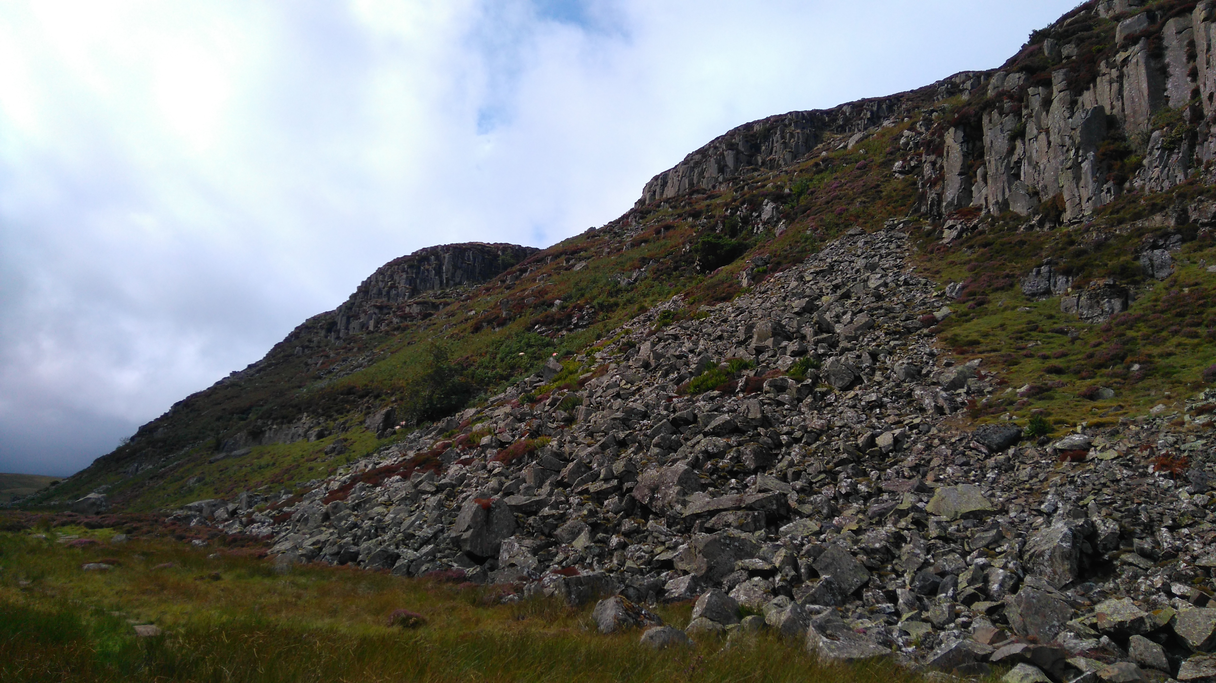
After a great night sleep sheltered by the trees we packed up and hiked a bit further to High Force, one of the biggest waterfalls in the UK and quite spectacular. Recent rainfall after the heatwave meant there was plenty of water cascading over the rock shelf.
Further along there were lots of juniper trees which were suffering from a devastating disease, A sign asked walkers going south to use the boot-cleaning device situated by the path to help stop the spread of the disease.
The river remained a joy to follow, the scenery became wilder. We walked through a farm with cattle intent of tormenting the dog by running up to her. After waving my sticks and shooing them off, I became her best friend for a while. I'm quite used to cows having lived on a farm for many years.
After a battle against the forceful breeze and a struggle across the boulder path close to the river, Falcon Clints was reached. Here we stopped and lay in the sun for a long time, listening to the water flowing, drifting in and out of a light sleep.
Eventually, with some reluctance, we moved on. Round a bend we came to Cauldron Snout, where the Tees thunders through a narrow rocky channel fed from the Cow Green reservoir. The dog struggled up the big steps next to the falls, she was terrified of the water rushing past close by, I ended up lifting her up the big boulders. At the top loomed a large concrete dam, incongruous and disputed, holding back the water from the reservoir, what used to be the origin of the river Tees.
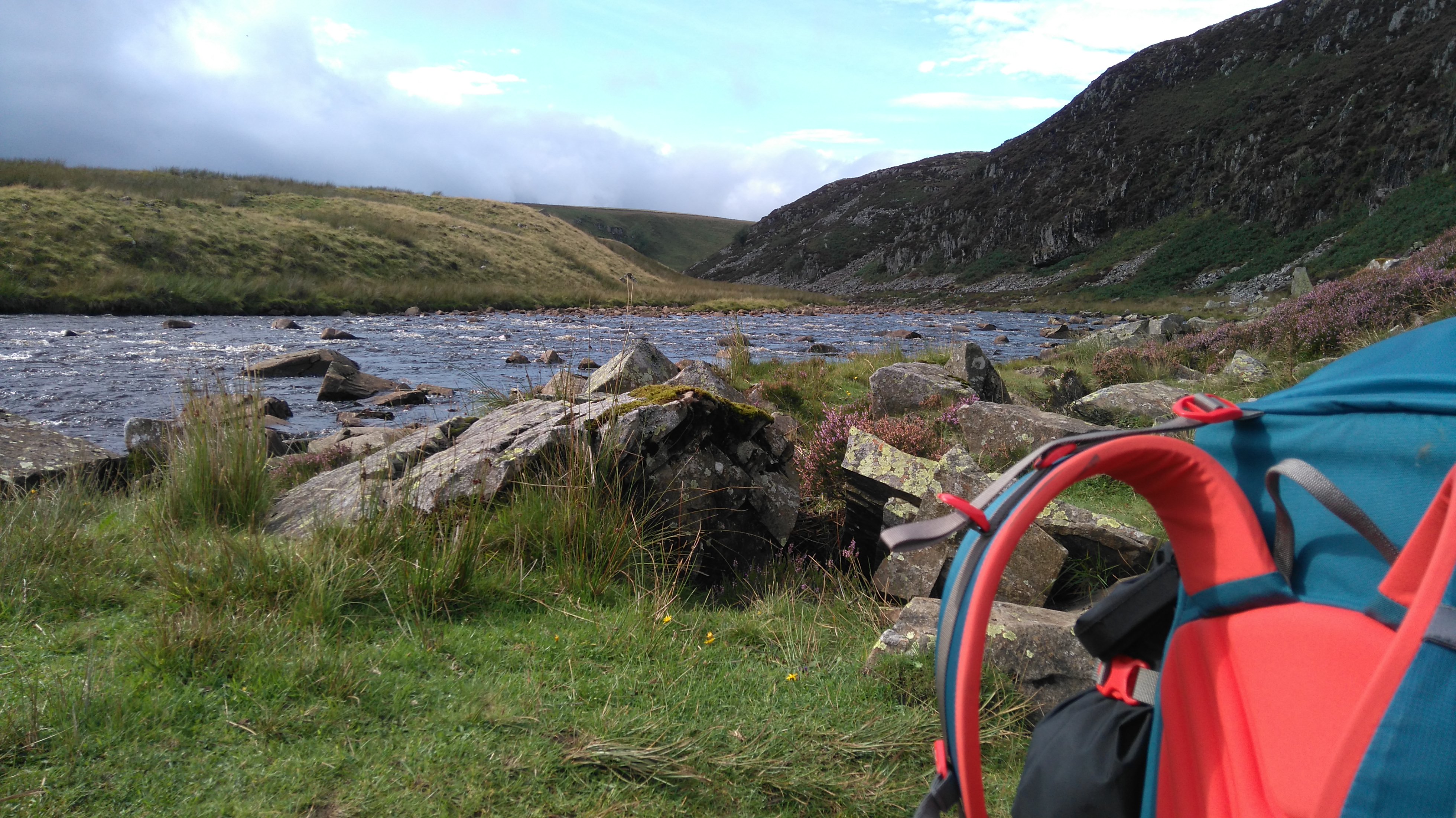
After a quick look at the reservoir, we followed a seemingly never-ending vehicle track high up on the moors. A lonely farm and old mine workings were passed, battered by the wind we struggled further, foolishly trying to find some shelter to pitch the little tent. Eventually on tired legs, we arrived at Maize Beck, a big stream flowing high up on the moors but in a slight dip.
The tent was pitched in a sheepfold, where handy rocks made a good seat and table for cooking the only decent dehydrated meal I brought from home. The beef hotpot, all 600 kcals, didn't touch the sides. The dog fell asleep before the tent was pitched.
Big signs warned of the MOD live-shooting area on one side and the out-of-bound nature reserve on the other...we really shouldn't have been there, not off-path anyway. Wind and rain battered the tent in the night, but no anti-tank gun or angry gamekeepers took a shot at us. Phew.
With hindsight, the MOD ground lies a little bit further south, so we were quite safe camping where we did.
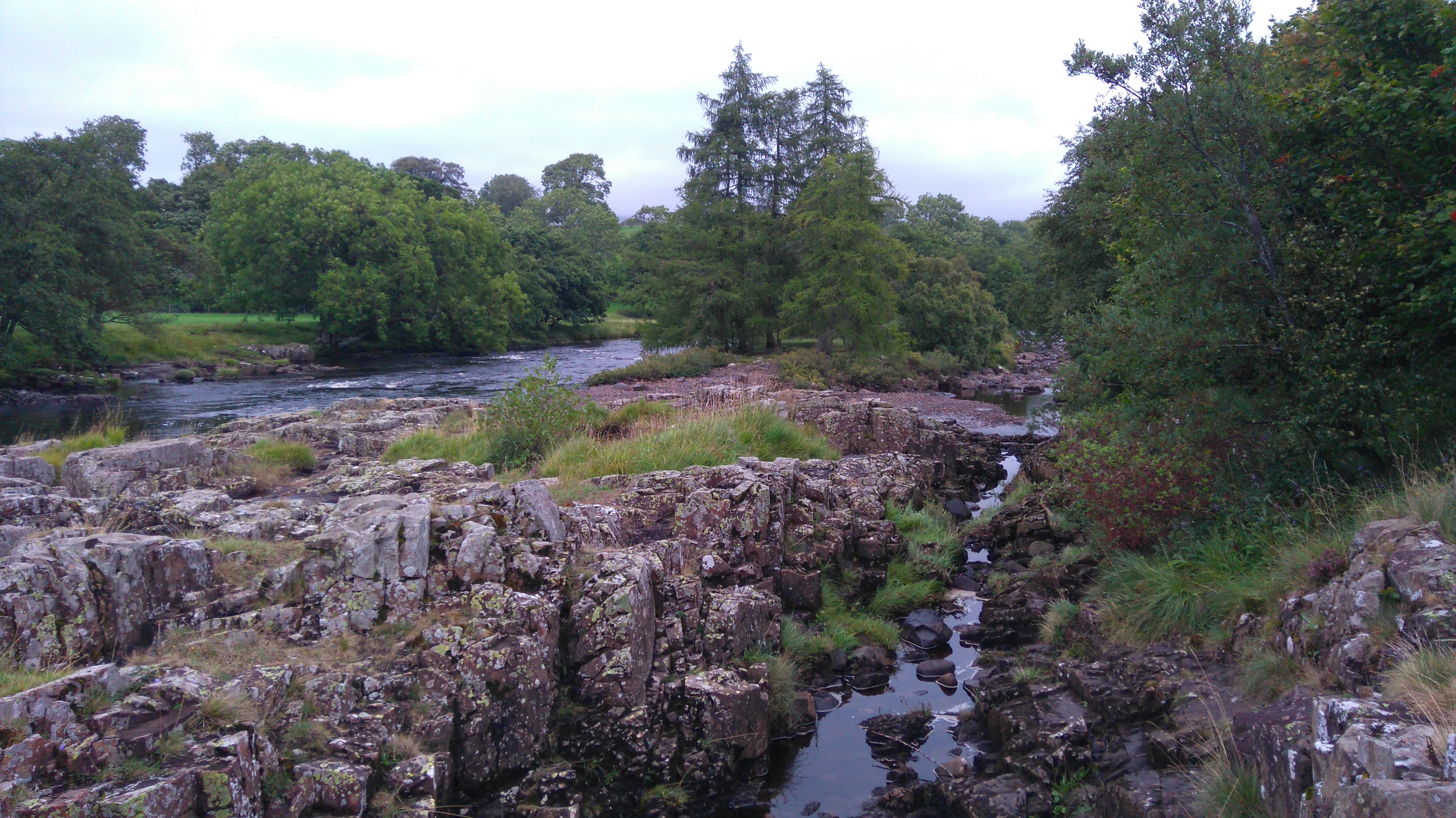
Low Force
A quick pic before completely taking the tent down.
Low Force
Lowe Force waterfalls, absolutely stunning.
Low Force
The river Tees
The small suspension bridge crossing the river Tees. A sign asked for those crossing not to wobble the bridge...
The river Tees (view from the bridge)
The river Tees (view from the bridge)
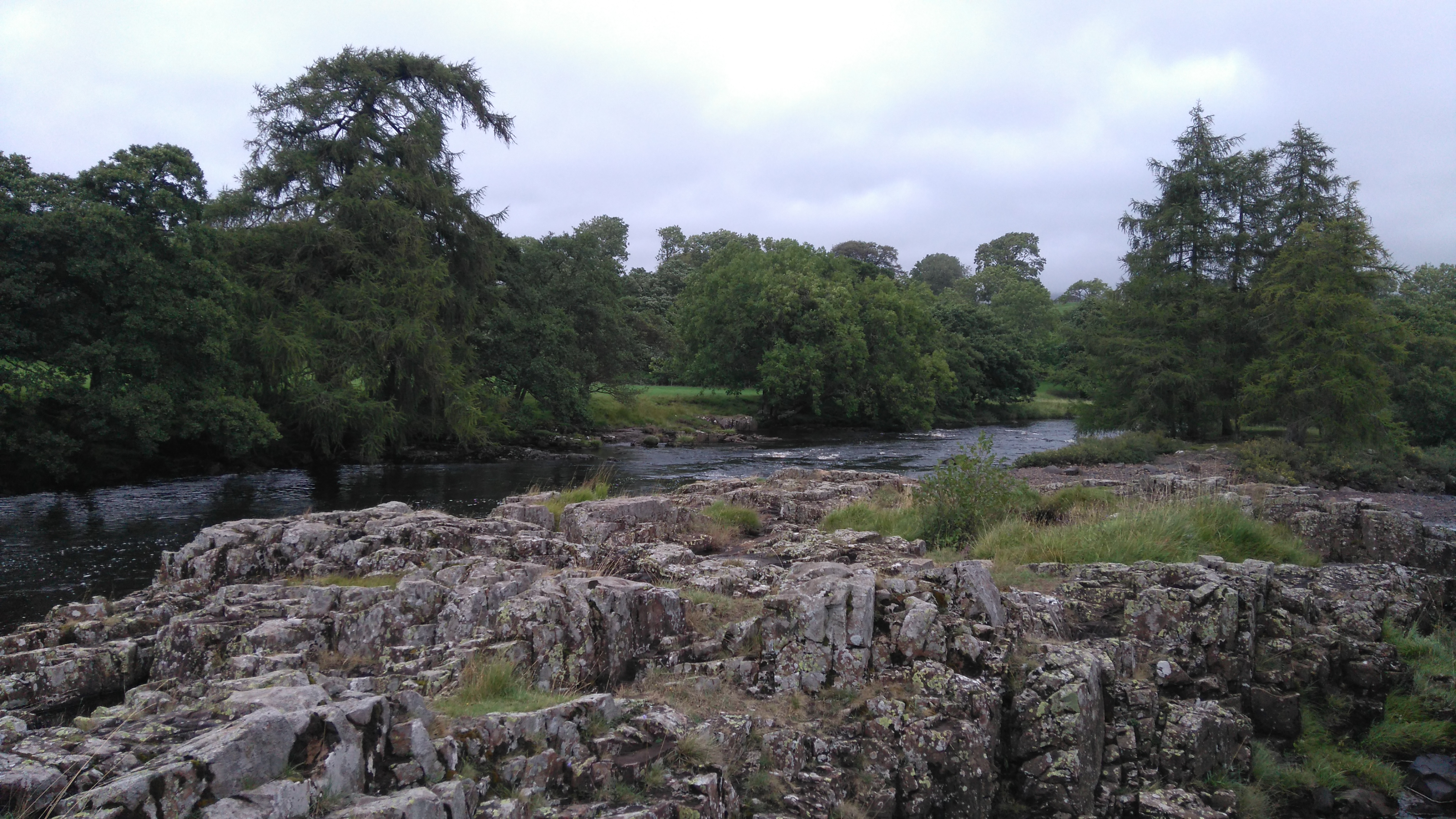
Lowe force
Low Force
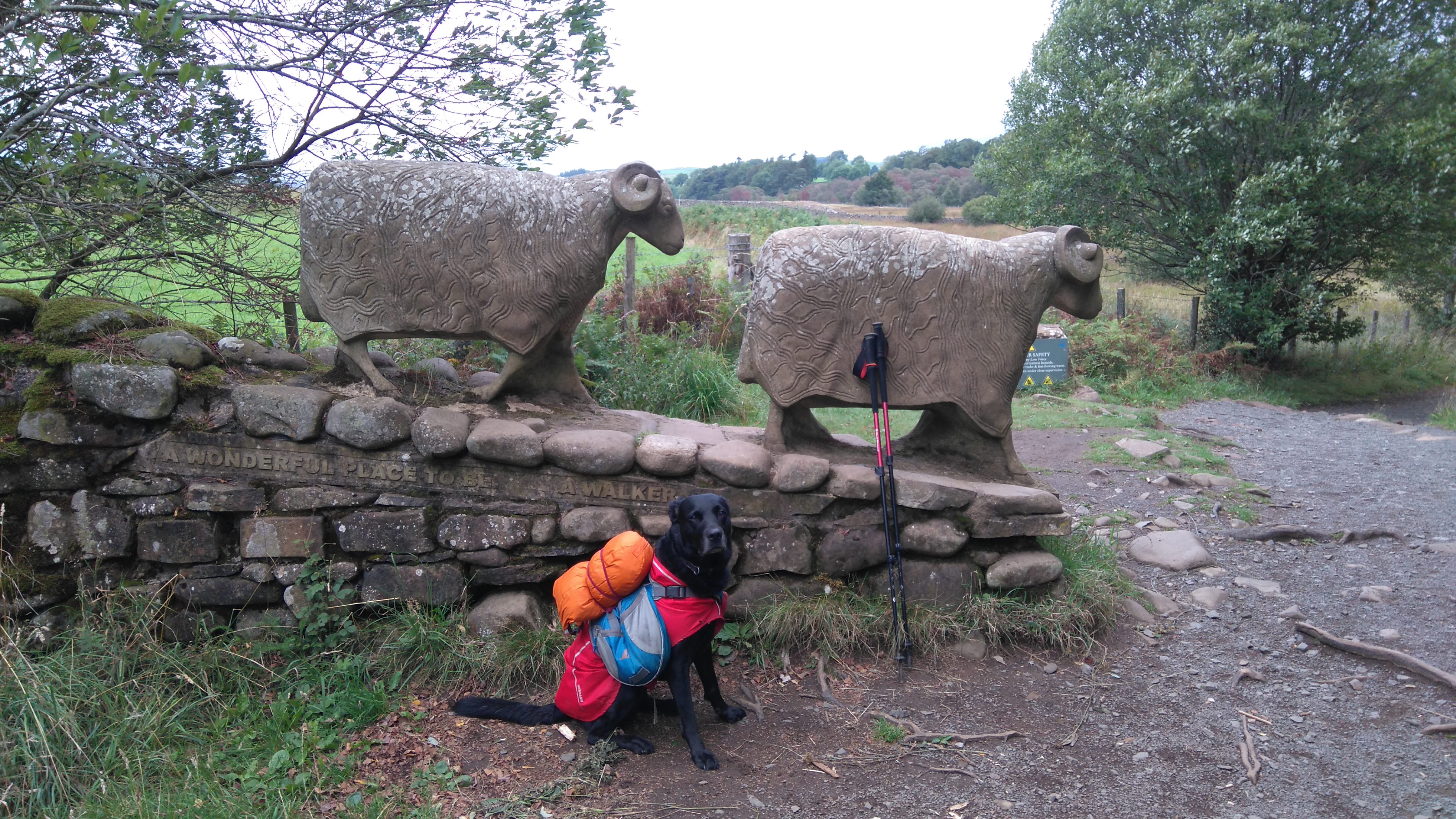
"A wonderful place to be walking" Very true!
Low Force
Low Force
Low Force
The river Tees
The river Tees
The river Tees
The river Tees
The river Tees
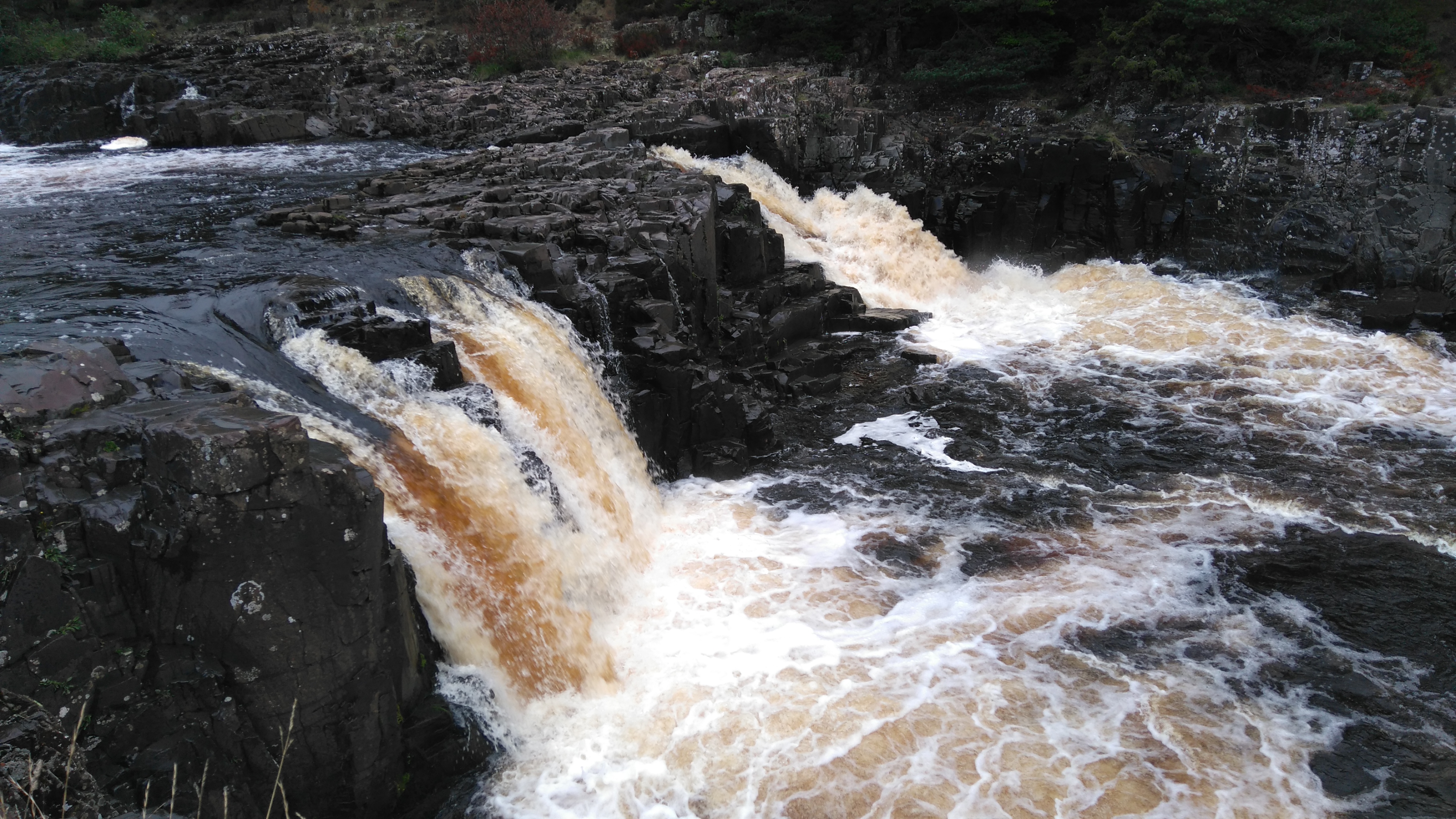
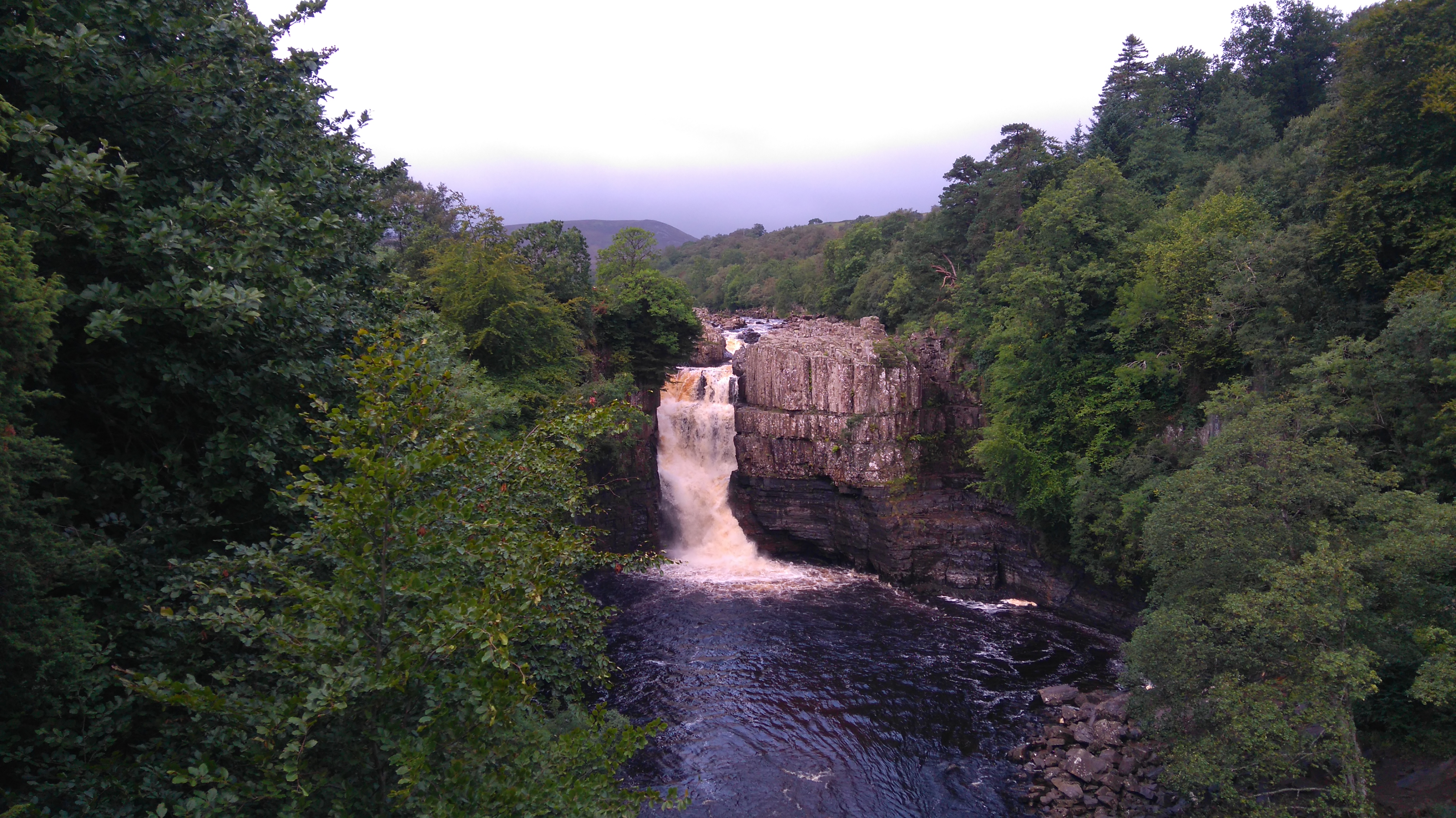
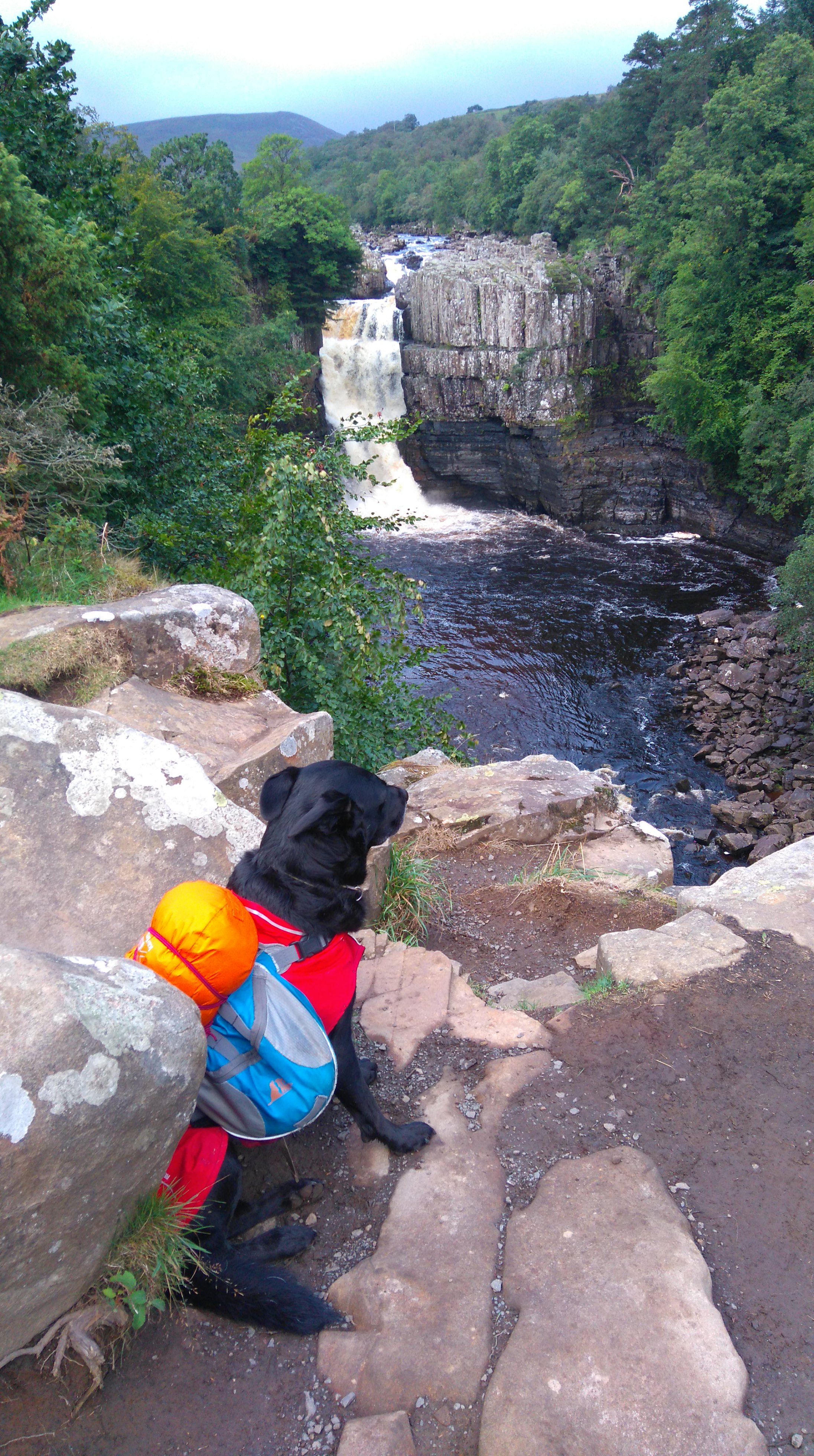
High Force
High Force waterfall, you hear it before you see it. Absolutely awesome!
High Force
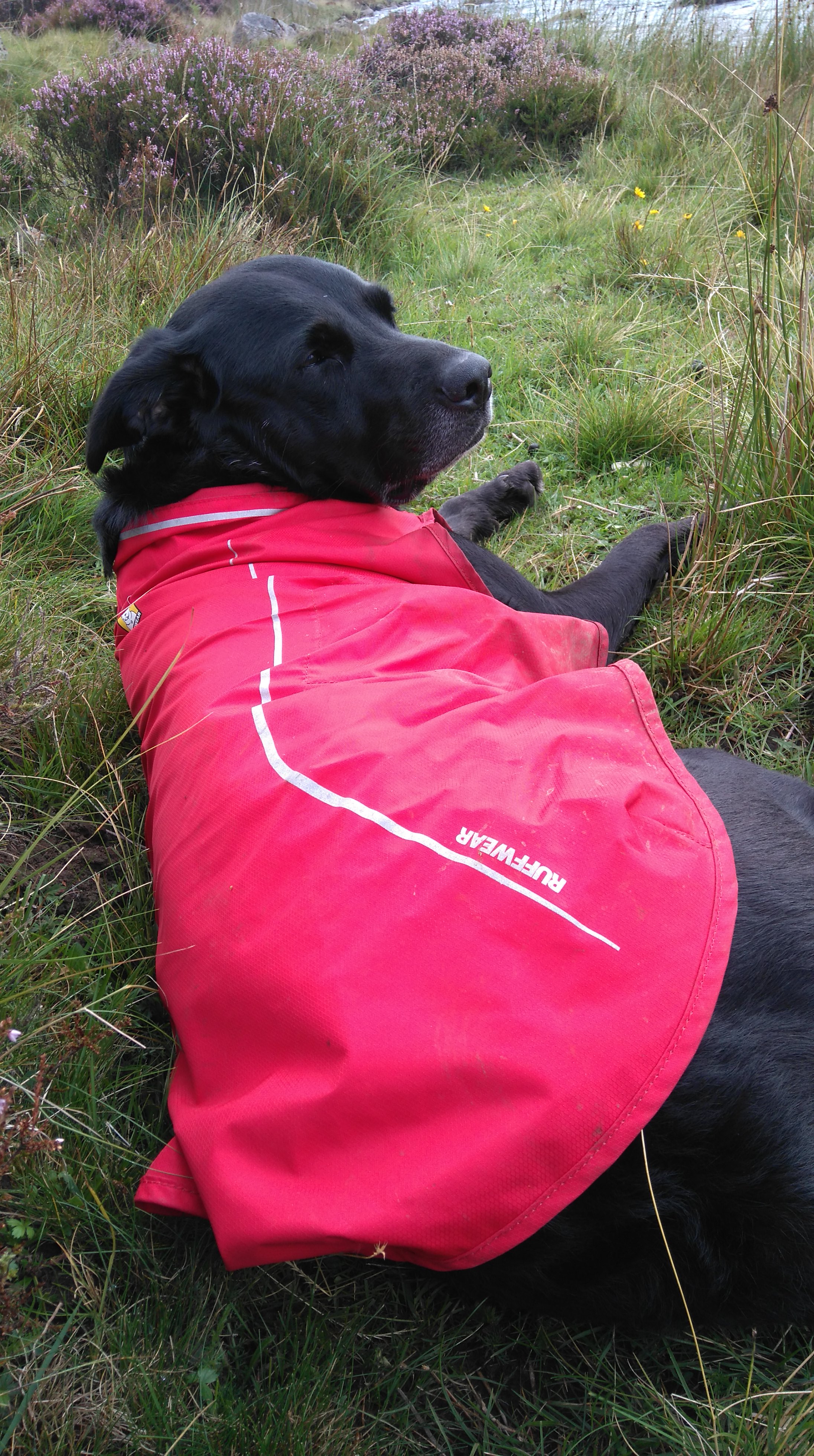
The dog posing before I tied her to a post. Labradors love water, I didn't take any chances. Apparently a fridge-freezer once found its way down these falls after a big storm some years ago, and was found a few miles downstream.
High Force
High Force
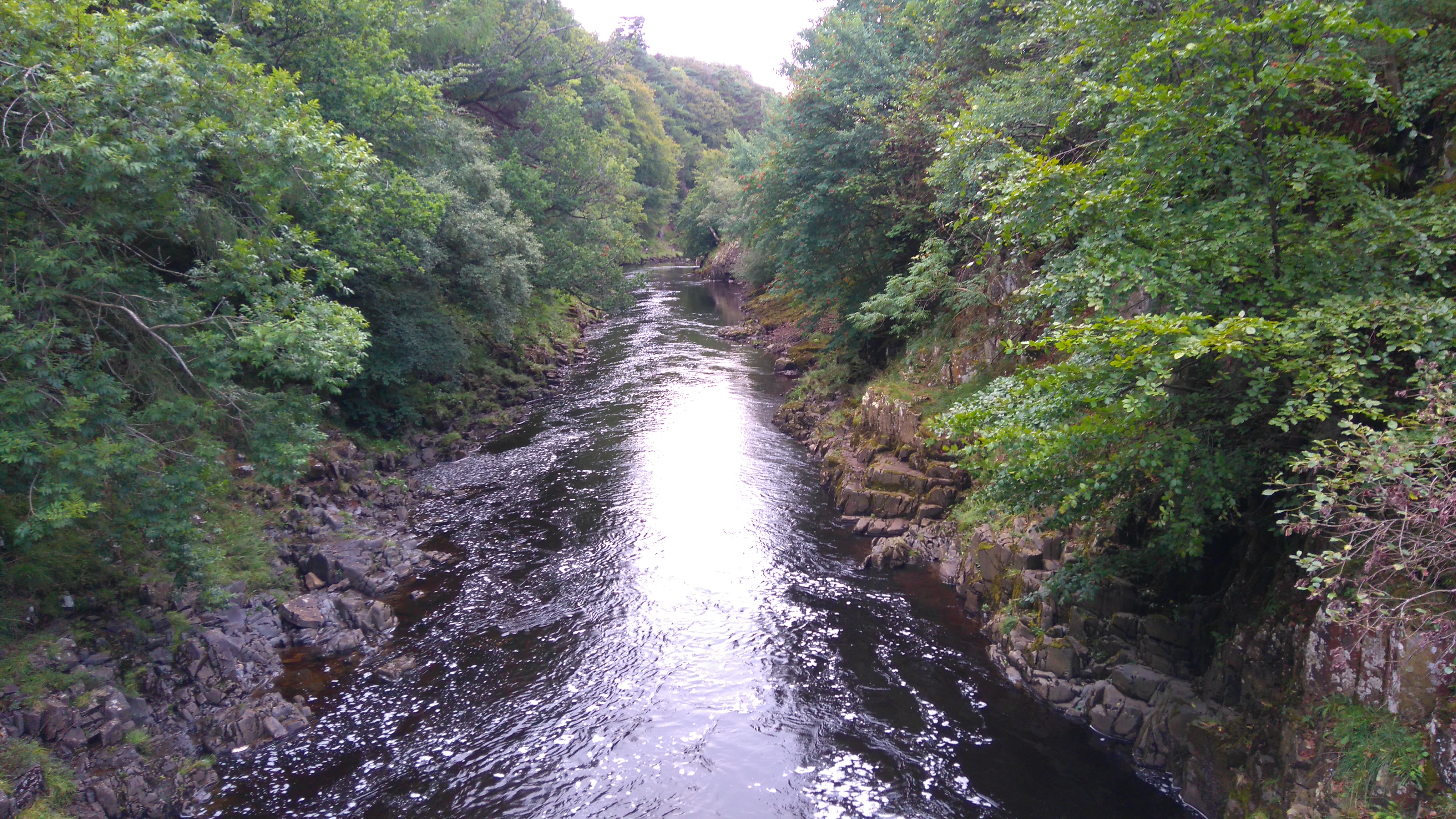
After High Force, the Tees remained wild, all the way to Cauldron Snout.
The river Tees
The river Tees
The river Tees
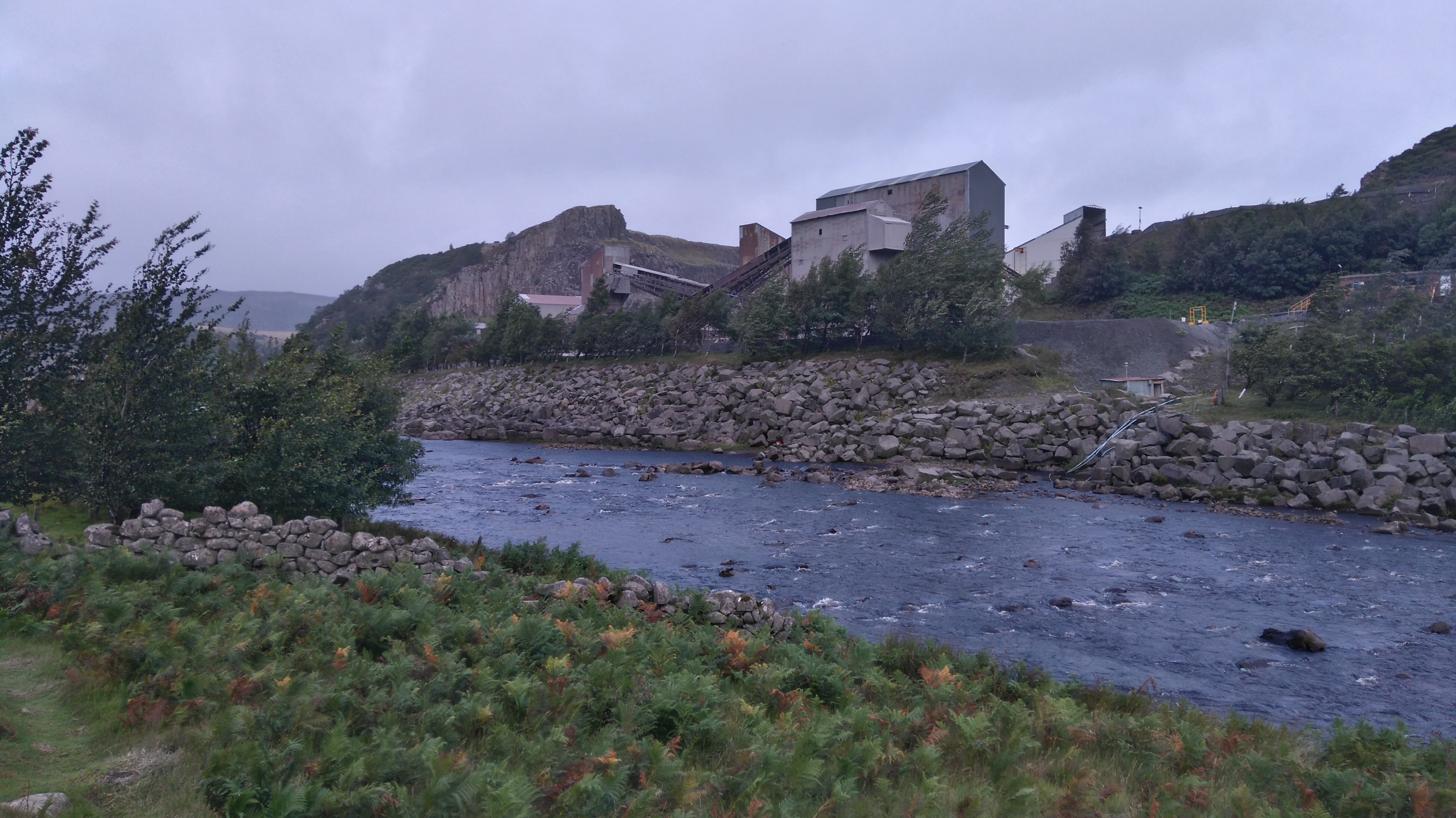
An ugly intrusion, still inflicting damage blasting stone needed for building towns and roads.
Bracken Rigg
Two men approach me, their accents are Dutch, they want to know about the dog.
You walk with your dog?
Your dog has its own bags?
I've never seen that before.
Come look, the dog has its own bags!
Can I take a picture?
Had I charged for people taking pictures of the dog it would've paid for the train fare home.
I grew up in Holland, so in Dutch I jokingly tell them the Dutch get everywhere. This of course sparks another familiar conversation: "How long in the UK? Where? Why?"
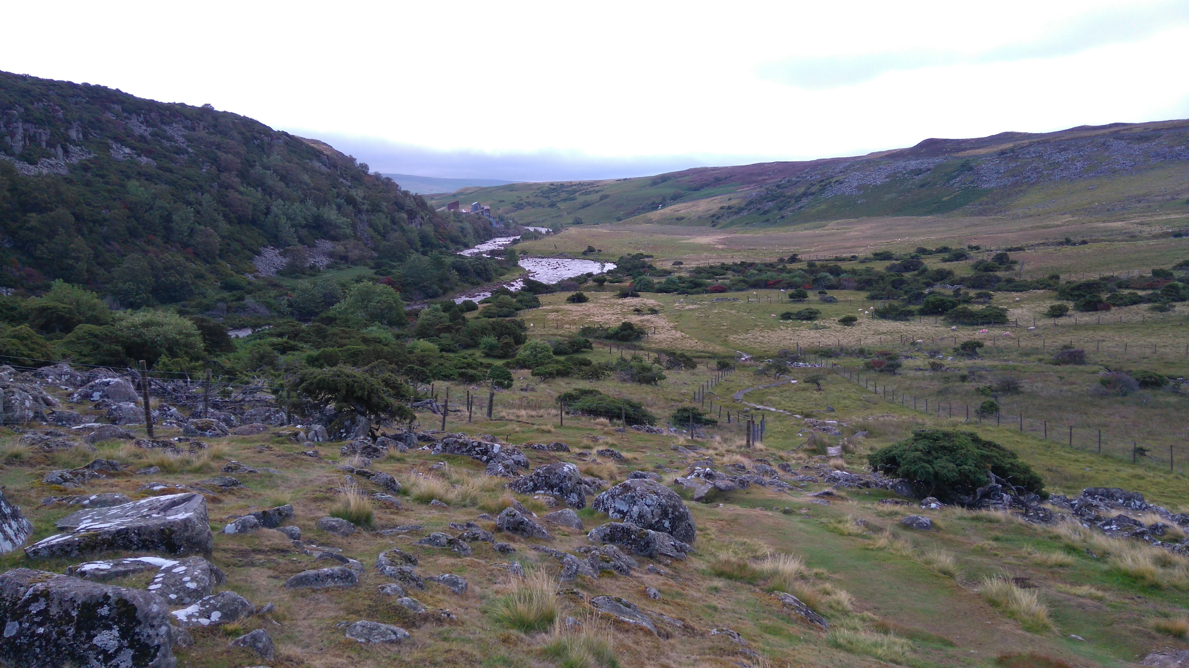
Near Cronkley
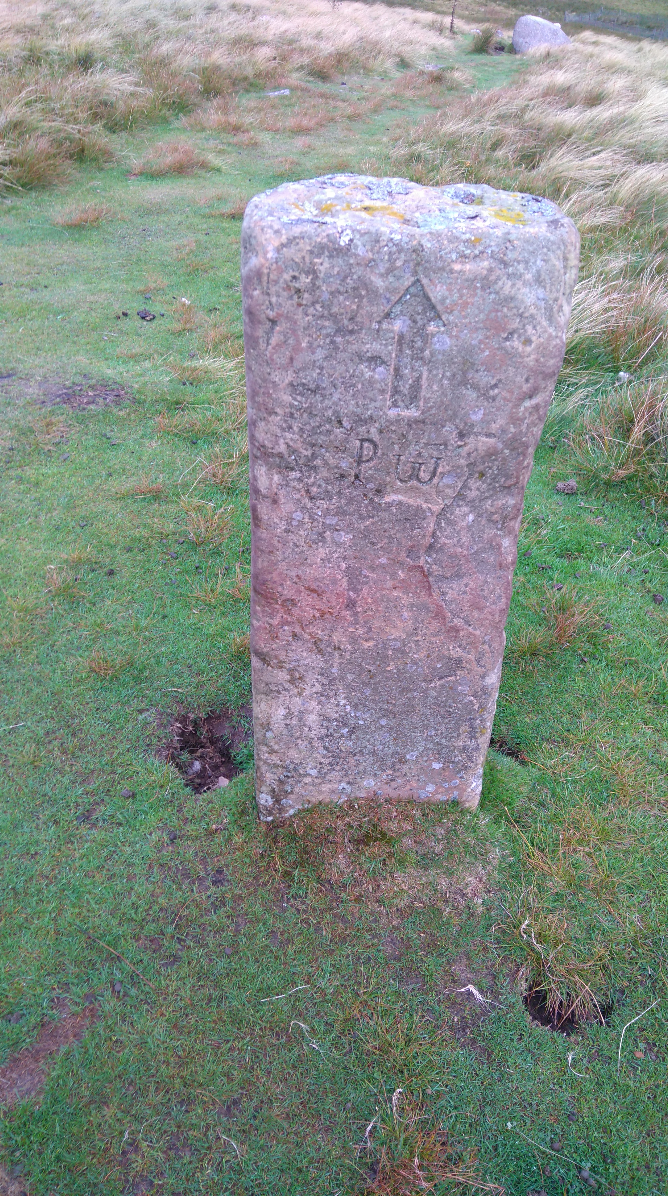
PW marker stone
The river Tees
After embarrassingly slipping on rock and almost breaking my poles and legs, we passed a farm where we watched a farmer on a quad-bike. With a lamb and child on board, she herded a flock of sheep using two sheepdogs. Two more children were guarding gates. A fine place to grow up.
The river Tees
The river Tees
The river Tees
The access track to Widdy Bank Farm
Near the river Tees
The first style with a dog gate...made only for tiny dogs not carrying their own bags. Thankfully the kissing gate allows larger beings.
For a short while the river Tees flows further to the left before re-joining the path near Falcon Clints.
Near the river Tees
The river Tees
The river Tees
An awkward boulder path close the the river took a bit of time traversing without slipping or falling into the river.
The river Tees
The river Tees (Falcon Clints)
Falcon Clints, where we had a long relaxed nap in the sun listening to the sound of water.
Lola
The river Tees
A fantastic place for a late lunch.
The river Tees
Remote, wild, beautiful.
The river Tees
A lonely field-barn overlooks the river Tees and the Maize Beck.
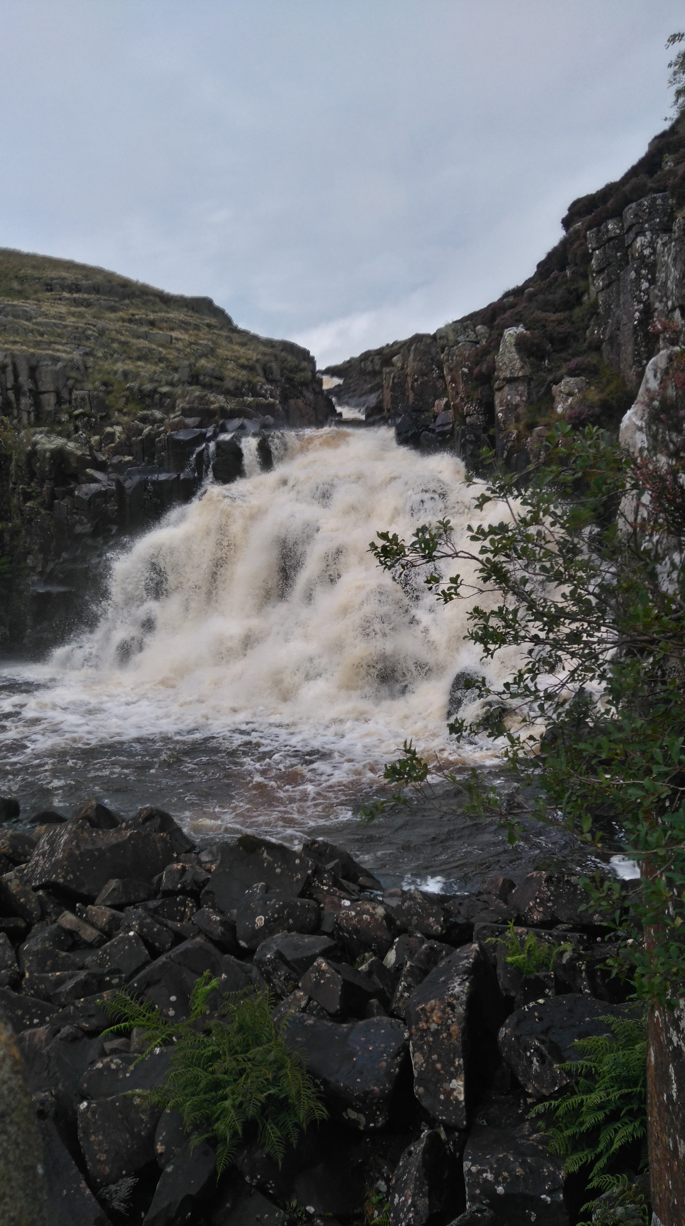
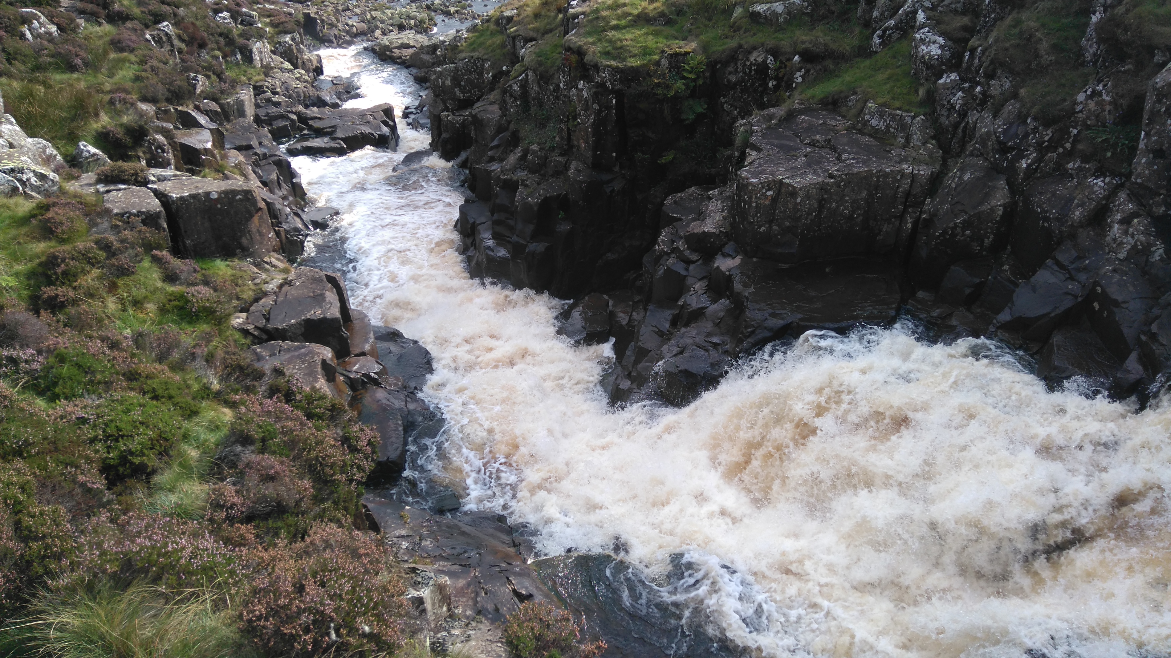
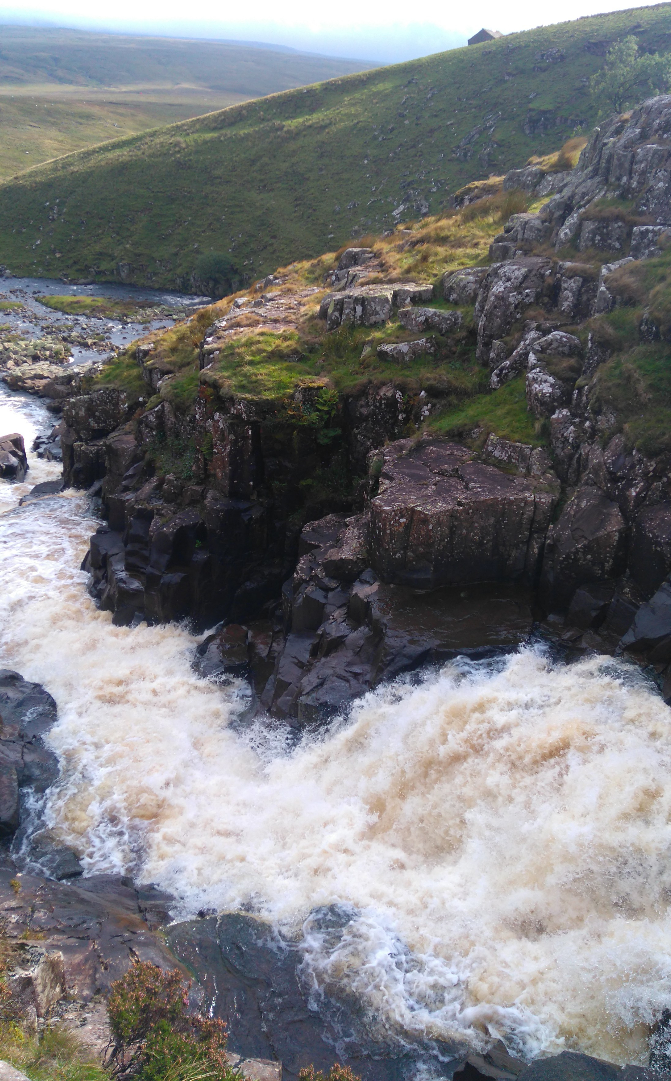
Cauldron Snout
After a bend in the river, Cauldron Snout suddenly appeared, loud and forceful.
Cauldron Snout
Rocky steps had to climbed, poles cannot be used here, the dog needed a hand up, she was terrified of the water rushing close by, my knees didn't like it either, somehow we both got up. I'm used to a bit of scrambling but not with a heavy pack and a nervous dog.
Cauldron Snout
Cauldron Snout, with a drop of 200 vertical feet, the highest waterfall in England.
Cauldron Snout
Cauldron Snout
Cauldron Snout
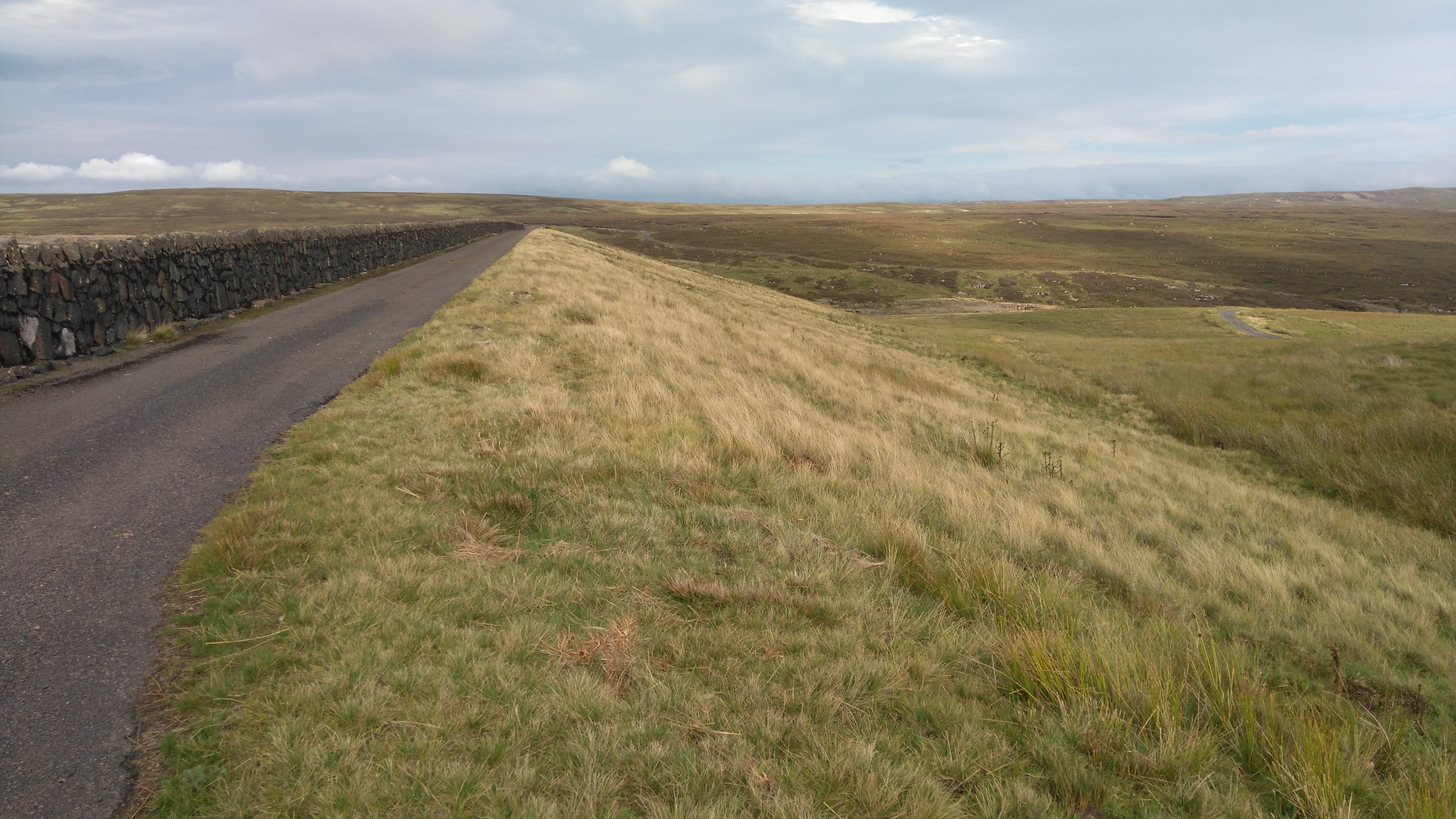
The (controversial) dam holding back the water from the Cow Green reservoir.
Cauldron Snout
Just before the river Tees drops down Cauldron Snout.
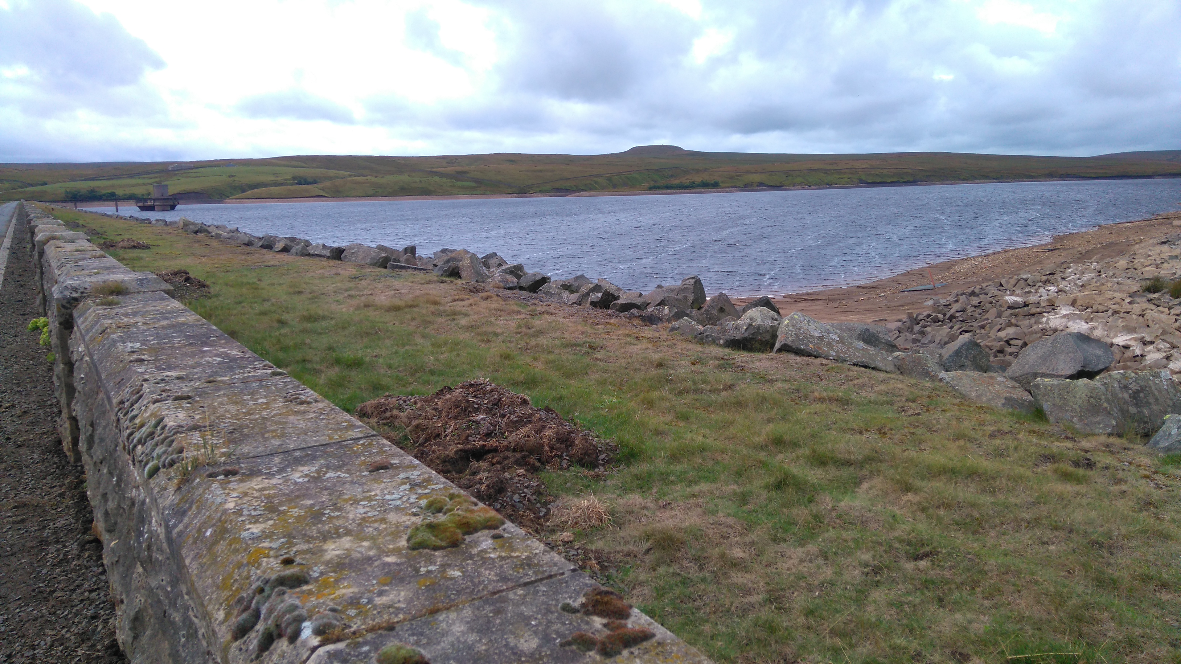
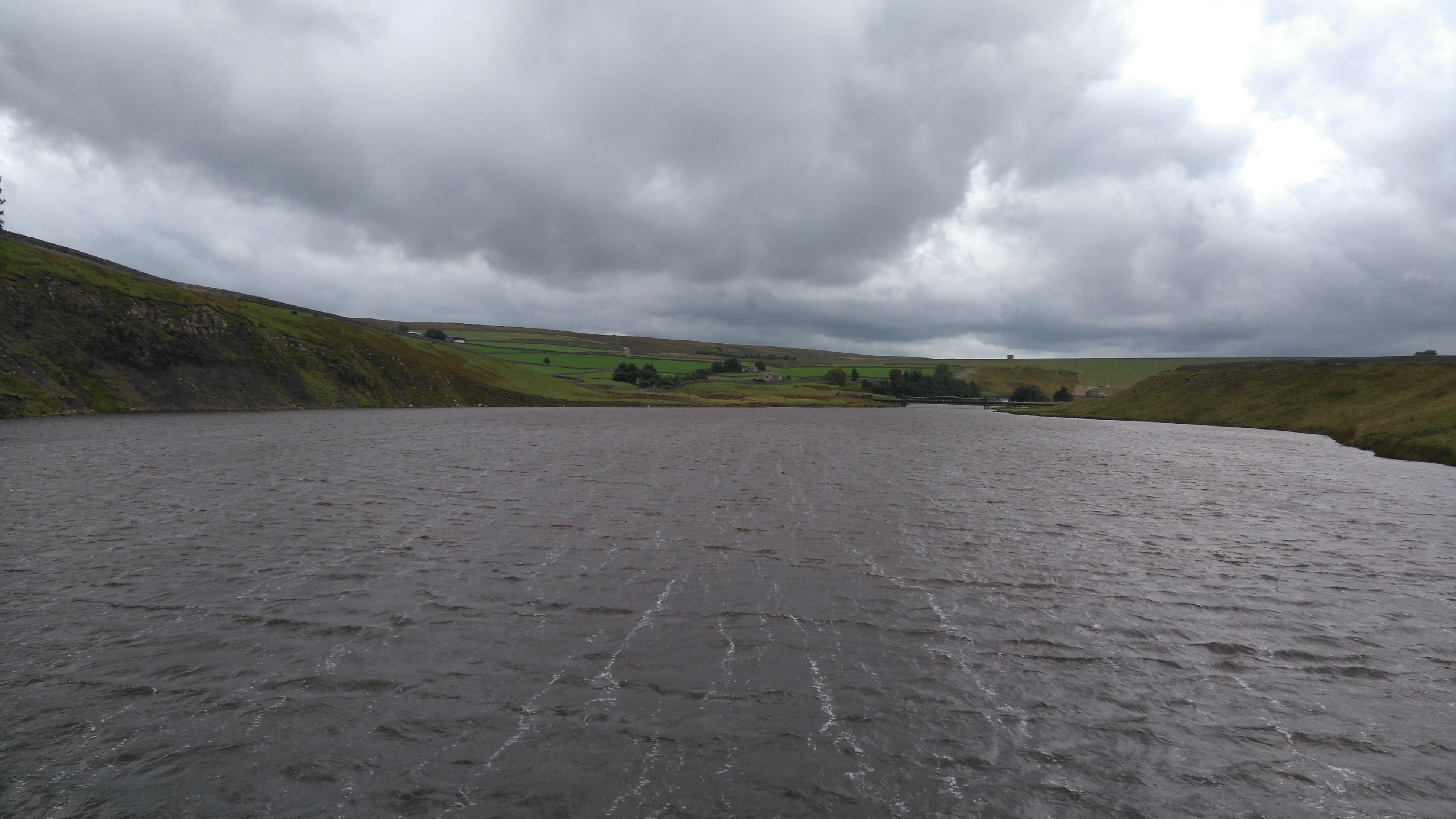
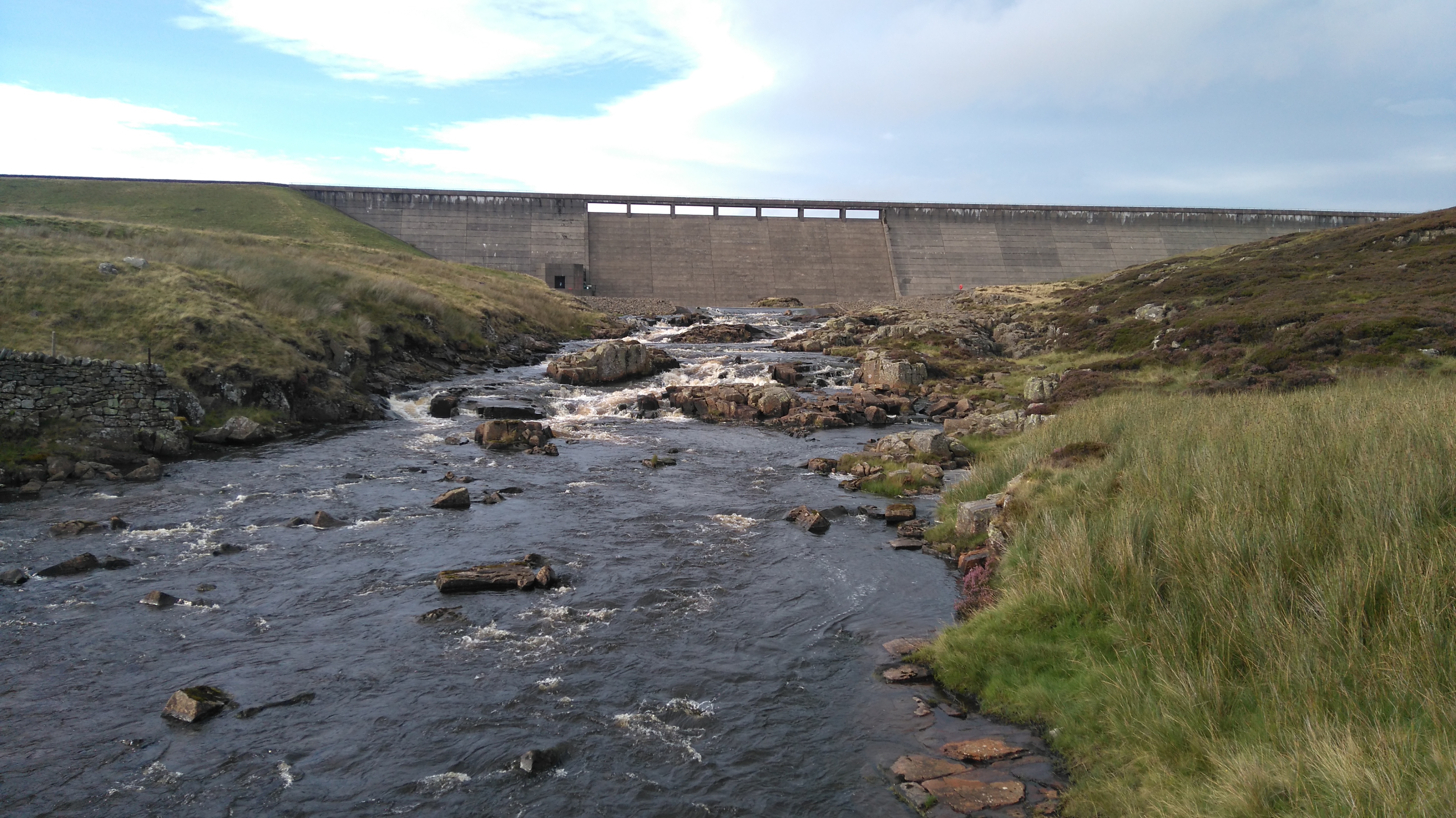
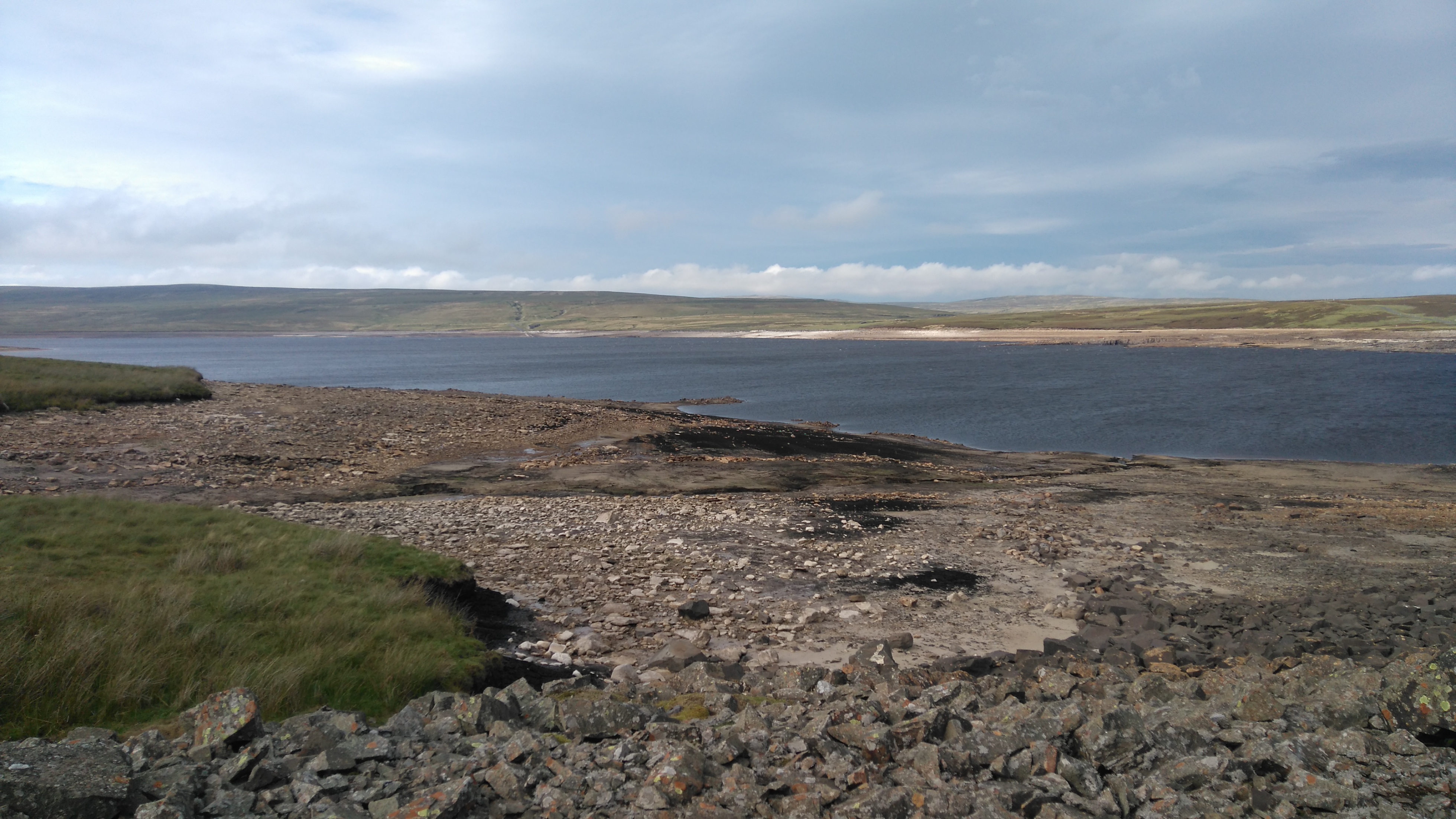
Cow Green reservoir
Cow Green reservoir, low after the heatwave.
The Cow Green reservoir dam.
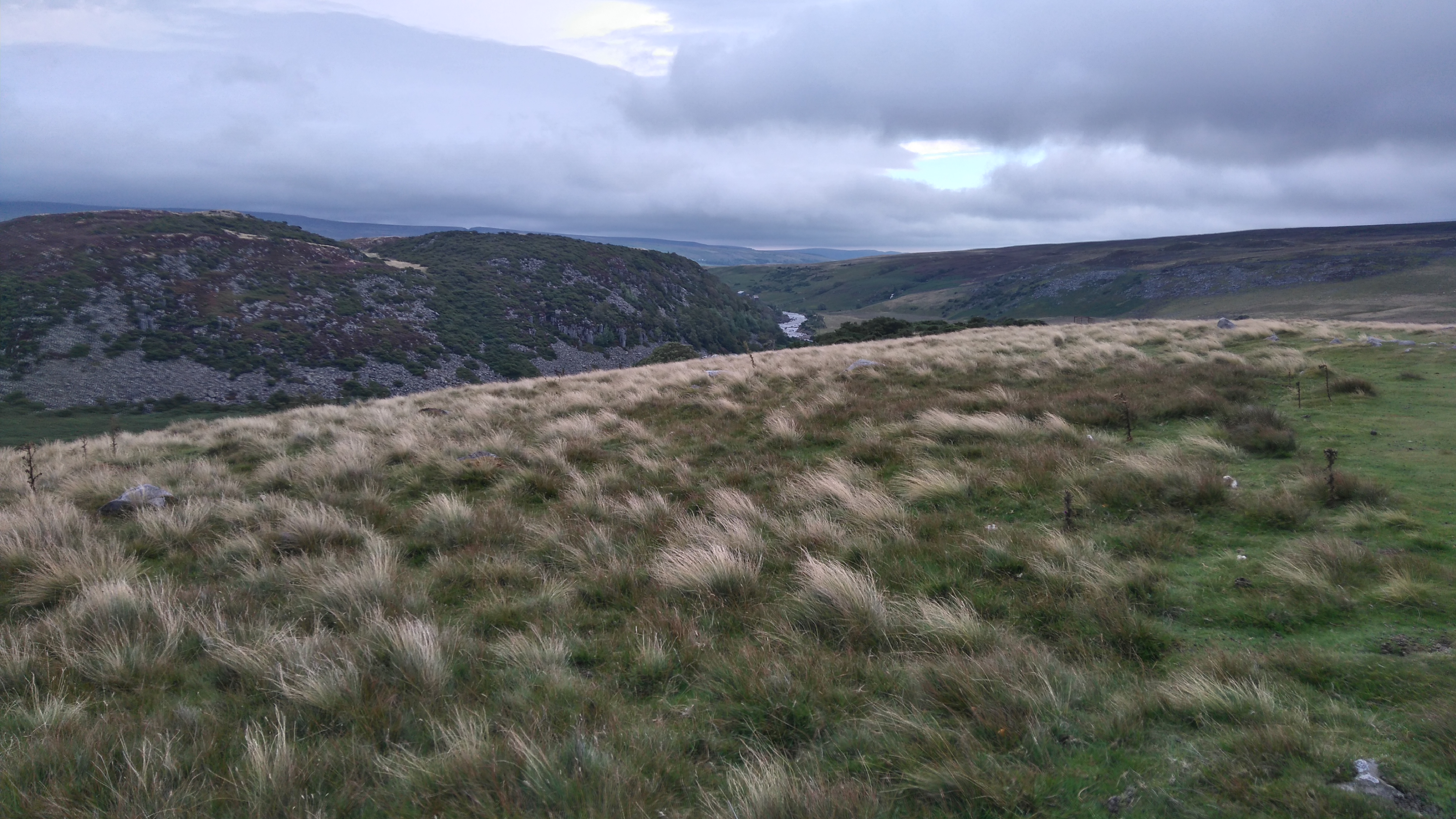
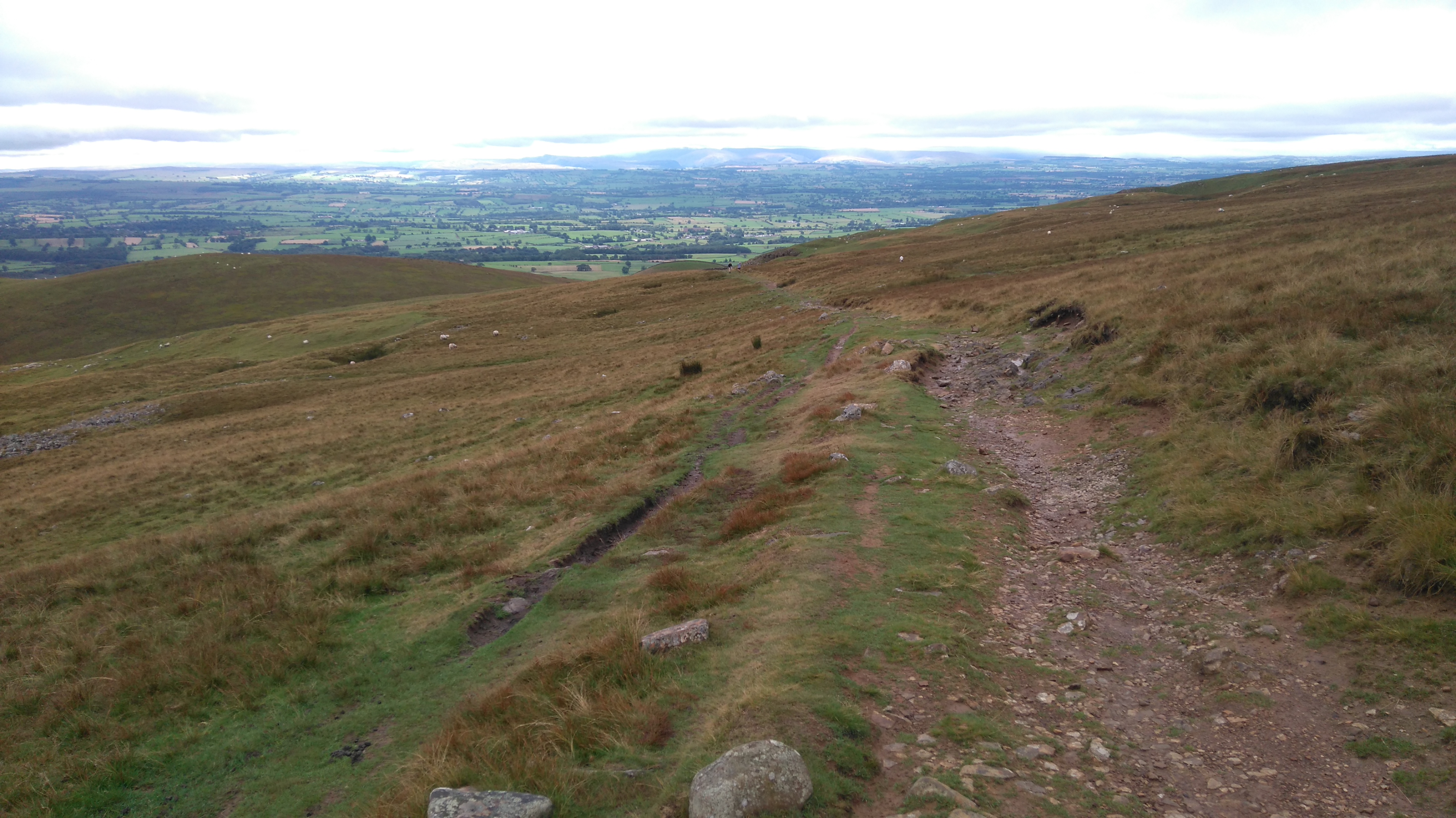
Dufton Fell
Looking back at Falcon Clints and the river Tees.
Dufton Fell
With tired legs and a growling stomach, battered by the wind, we followed the track up and up onto the moors, past the abandoned Birkdale Farm to meet with the Maize Beck again.
Dufton Fell (camp at the Maize Beck)
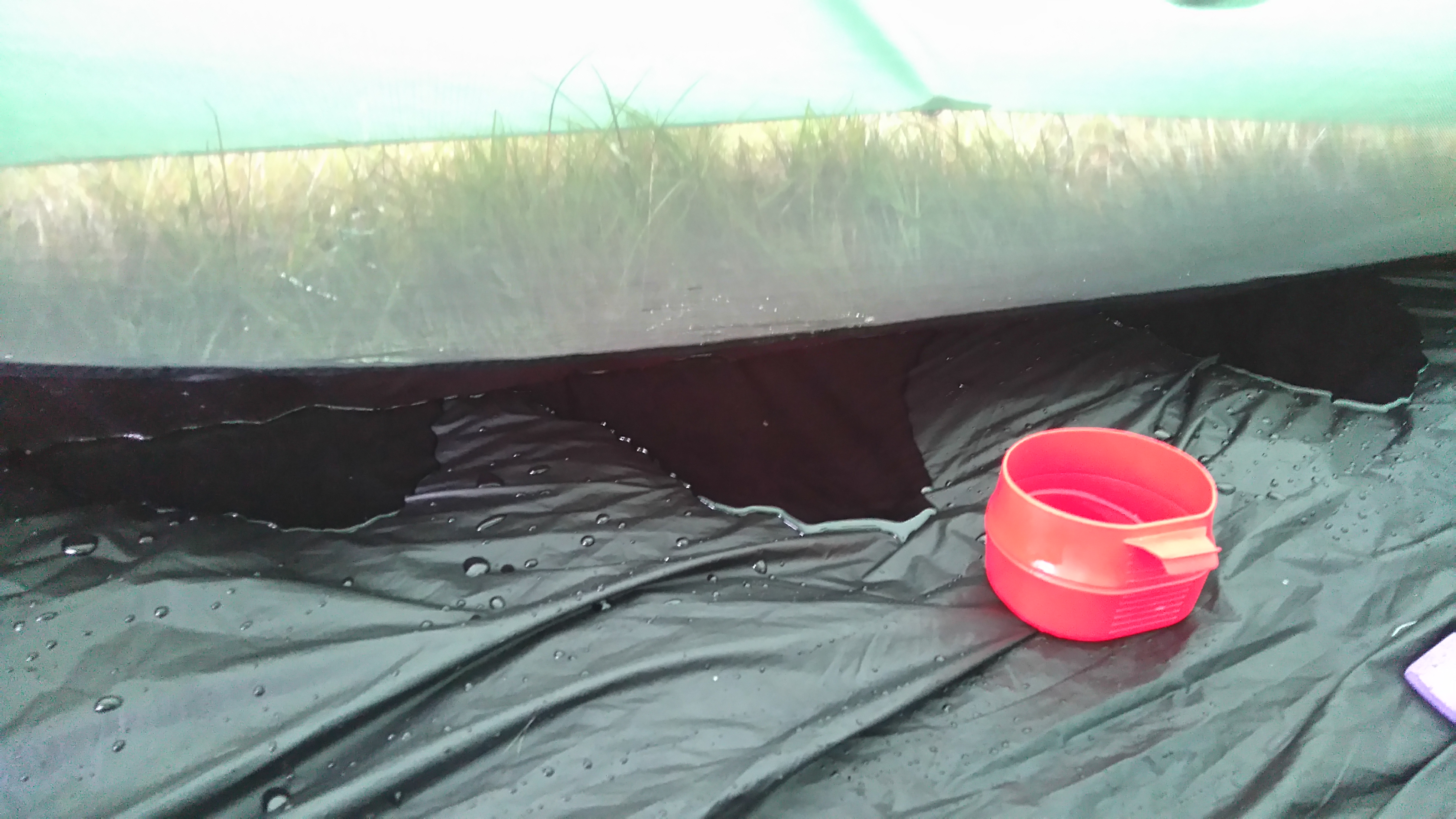
Eventually we reached the banks of Maize Beck, which, as it lies in a slight dip, offered respite from the relentless wind which had blown all day. A hotpot meal cooked itself as the tent was pitched. A nice meal and a hot drink made everything okay again. In the night it rained and rained, the wind loosened a badly tied guy-line, which meant we woke to a few small puddles inside the tent. Oh well.
Day seven: Maize Beck to Dufton 6 miles.
Weather: dry then wet, foggy, windy on the tops, dry, sunny spells in the valley.
A day of rain, wind and fog, no views at High Cup, wild horses, roaring water, sunshine in the valley, lunch in the cafe, a pitch on the campsite, a look at the ravine, hot showers, good food and a chat with other wayfarers in the pub.
Highs:
A nice meals
Campsite comforts
Completing PW3
Lows:
Wet and windy
Poor visibility
PW3 day seven
Diary day seven:
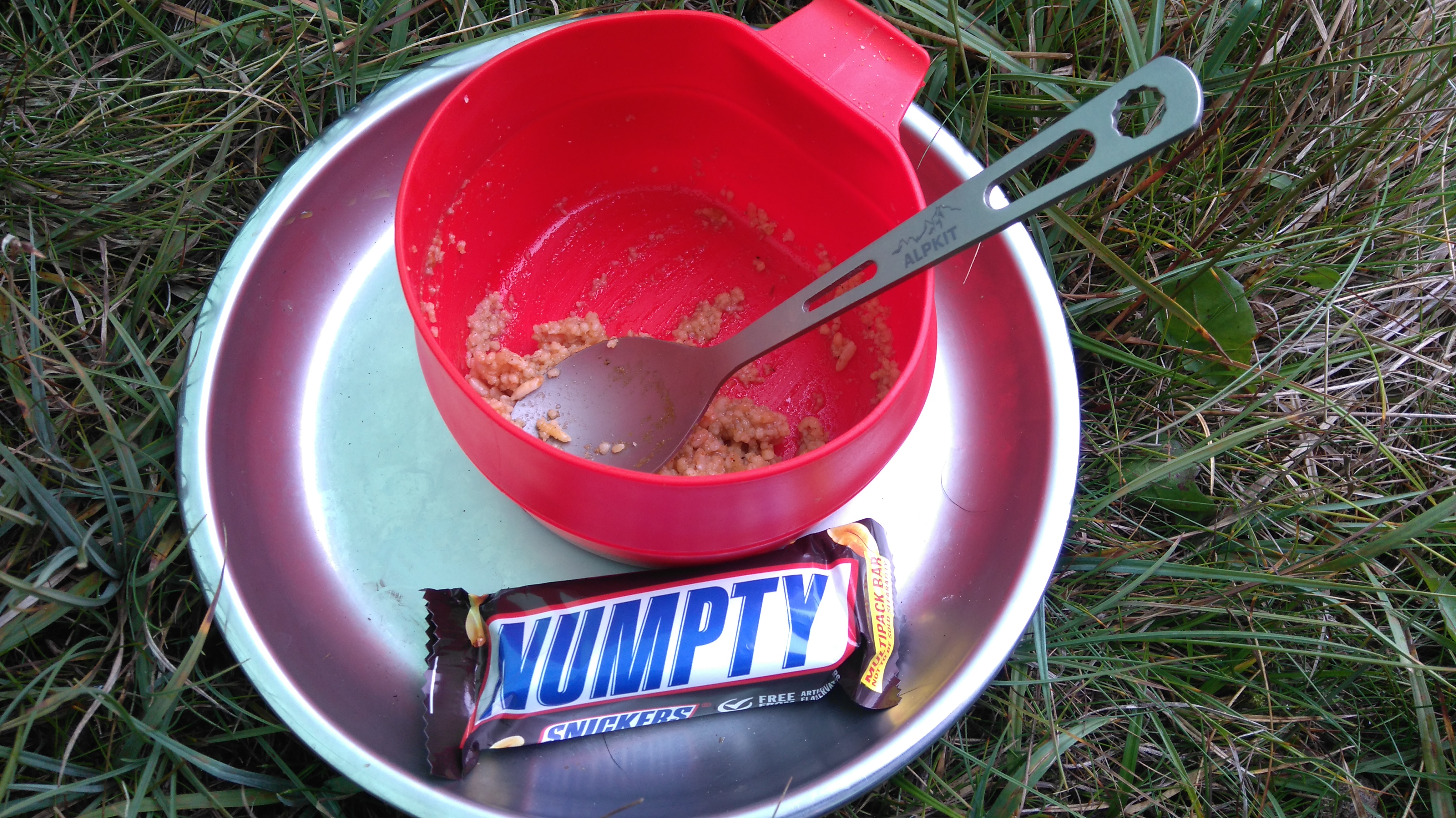
After a restless night, we woke to puddles in the tent. A bit of a surprise but thankfully no big deal as I used a bivi-bag and a foam mat as well as an inflatable mat. As there was no more muesli left I had a breakfast of much loathed savoury couscous and a very nice snickers bar followed by a mug of tea.
Today we would experience the grandeur of High Cup, amazing views through a huge U-shaped valley all the way to the fells of the Lake District further west...or not...
The weather deteriorated from dry and overcast, to wet, windy and foggy, to the point I checked the OS digital map on my phone to make sure I wasn't going to either fall off the edge or walk down the wrong side.
When I got to where I thought I should be seeing the awesome views, I put on my waterproof trousers (a bit late but hey ho). A man appeared out of the gloom, a local walking his dog, just out for a stroll, a tough northerner wearing jeans and a fleece...I felt slightly ridiculous.
"How do. Bit blowy today!"
Later, as we dipped under the clouds and found the sun shining, we came across more people, all on the way up, all dressed for summer, all giving us funny looks as I was still in damp waterproofs, and making the usual remarks about the dog carrying her own stuff.
One chap remarked "is that your servant?". I gruffly replied "I wish". He was not amused, nor was I. My grumpiness didn't last as fine views west opened up, as well as knowing we had successfully completed another stretch of the PW (3/5).
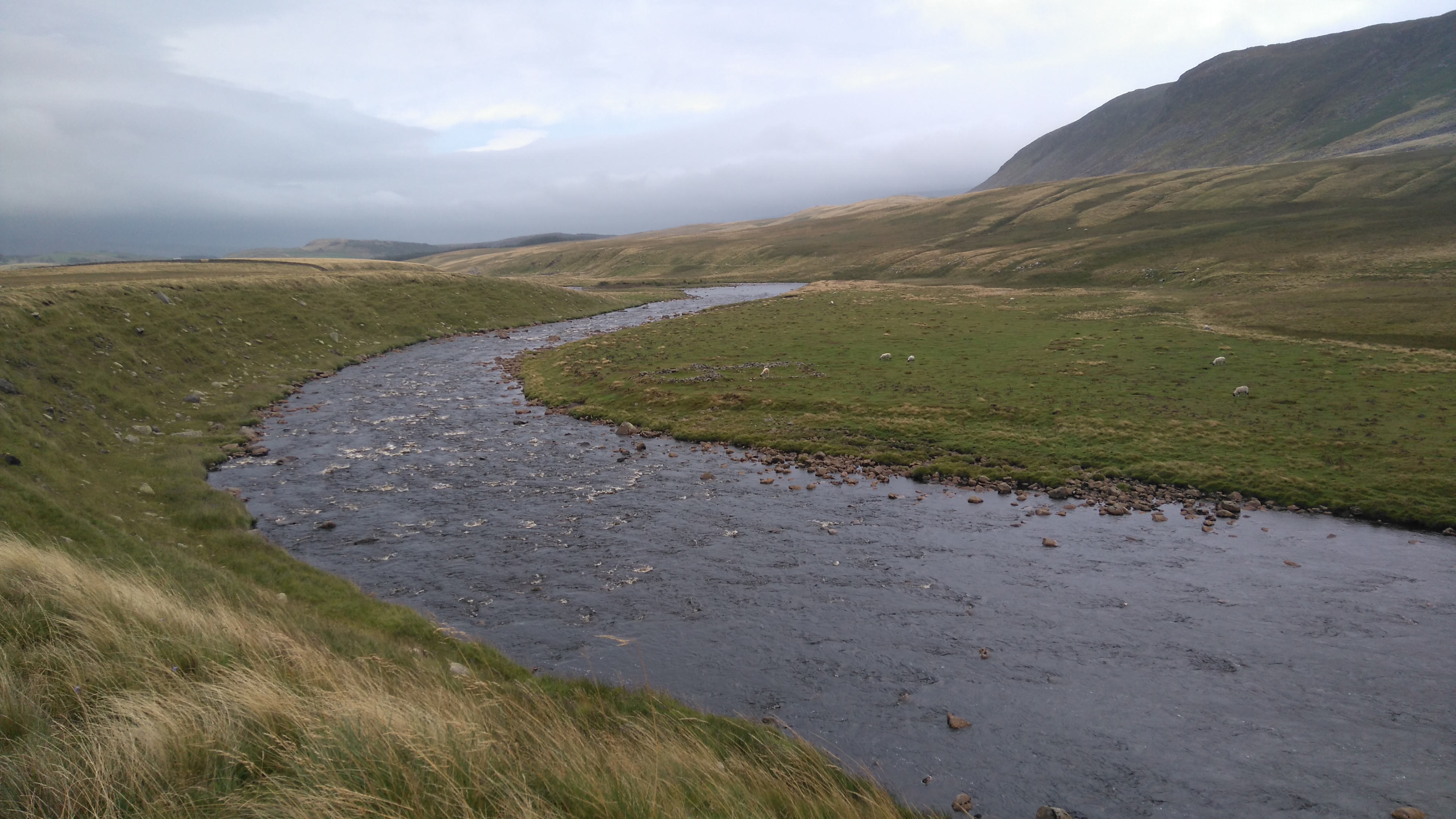
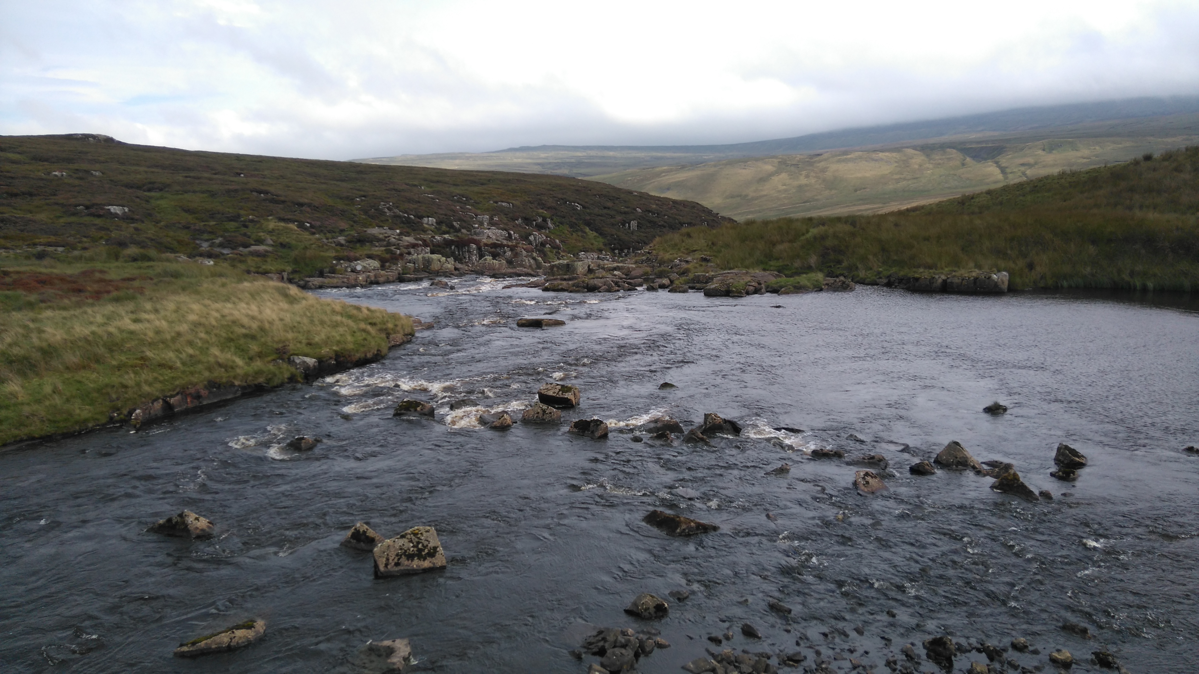
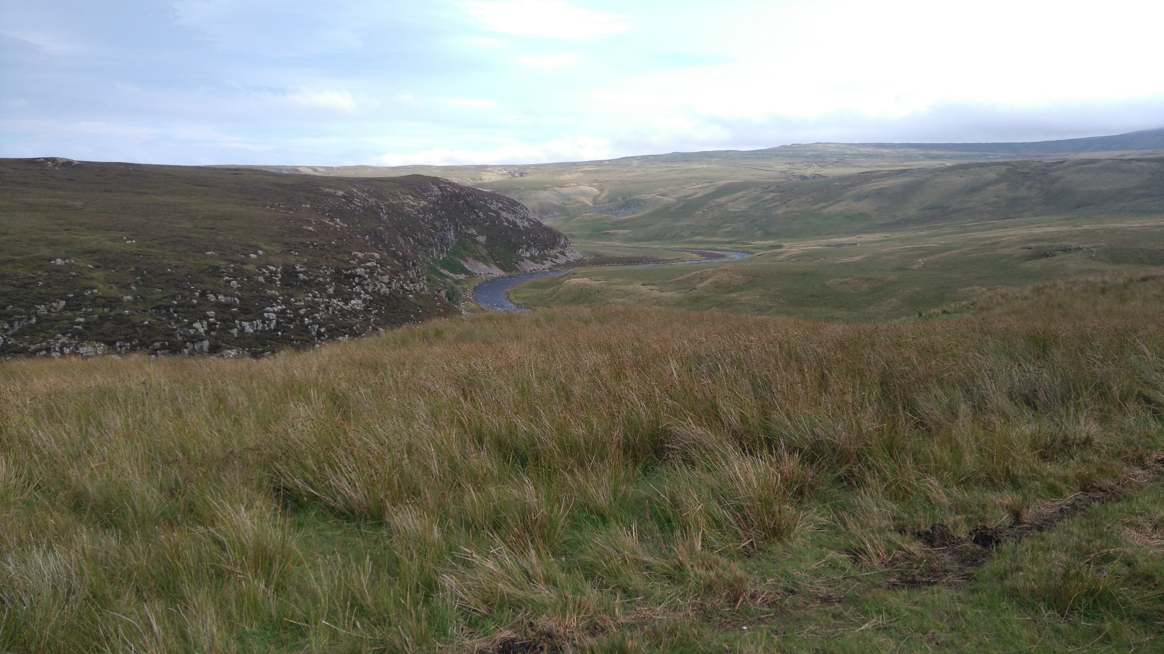
The Maize Beck
The Maize Beck
Puddles in the tent...don't panic!
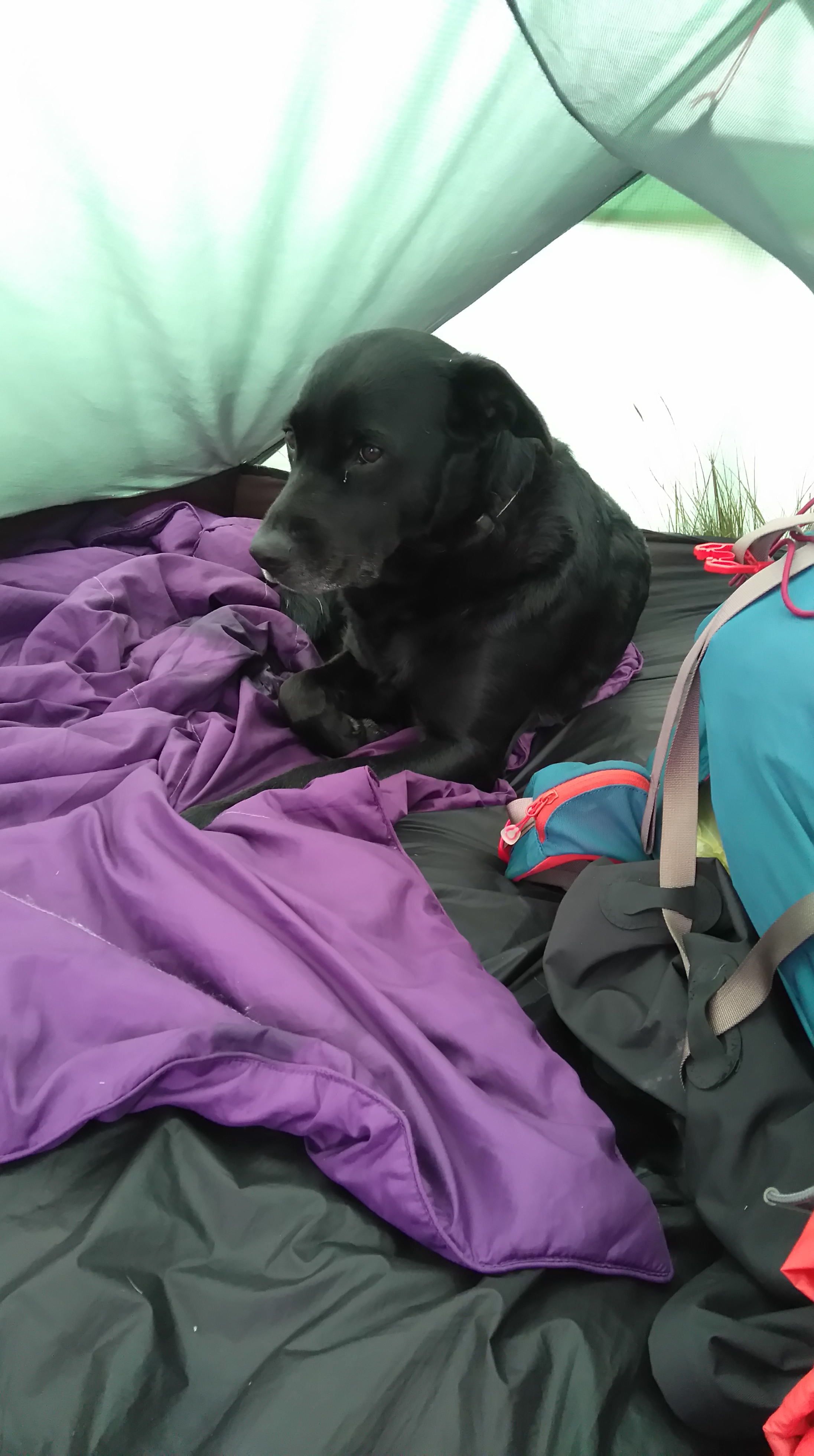
Lola the morning after the storm.
Breakfast
Numpty! When you don't pack enough cereal and end up eating savoury couscous.
The Maize Beck
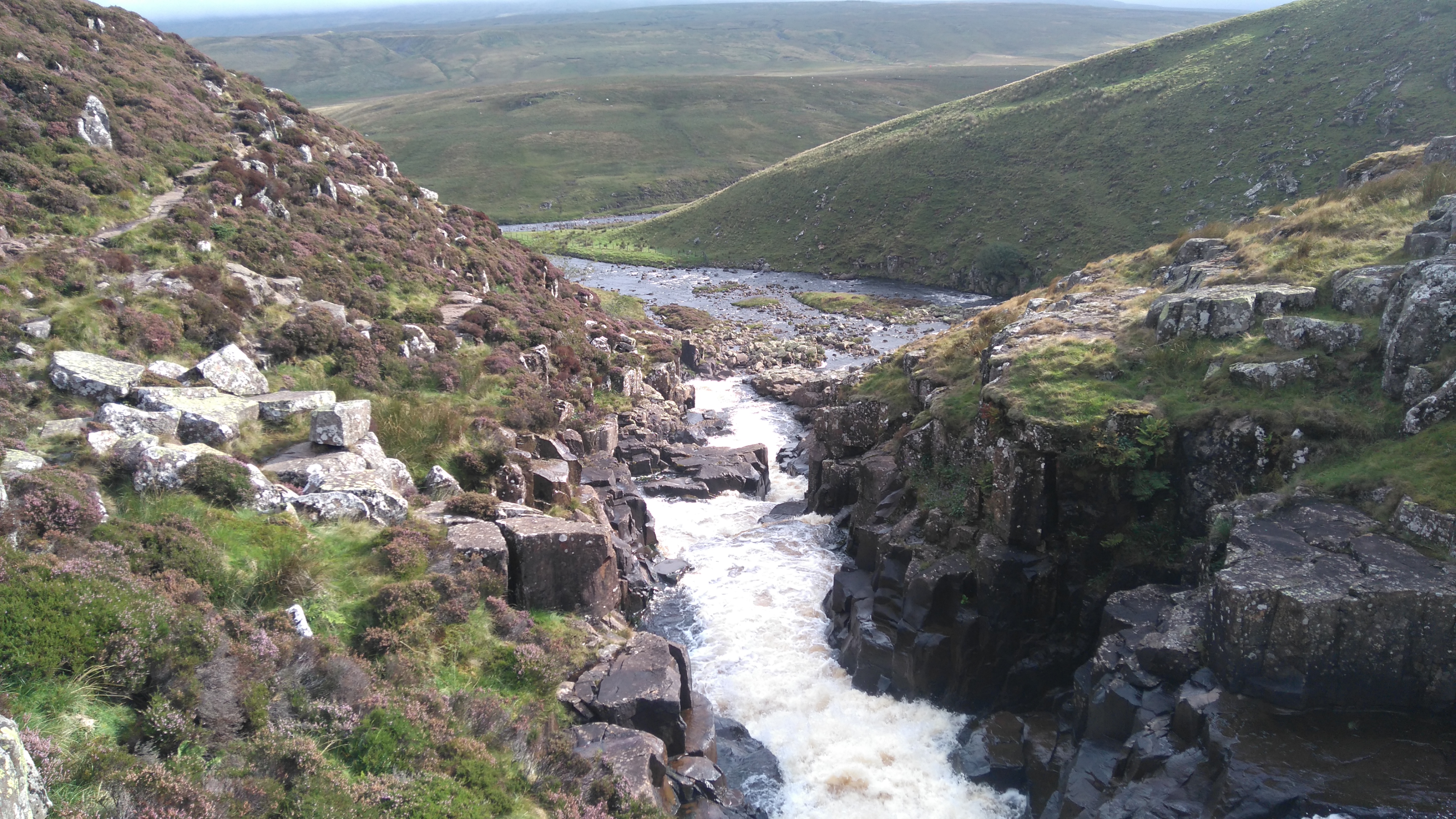
The bridge over the Maize Beck. By taking the newer (dryer) route we missed out on Maize Beck Scar, a limestone gully carved out by the stream.
The Maize Beck (looking east)
The Maize Beck (looking west)
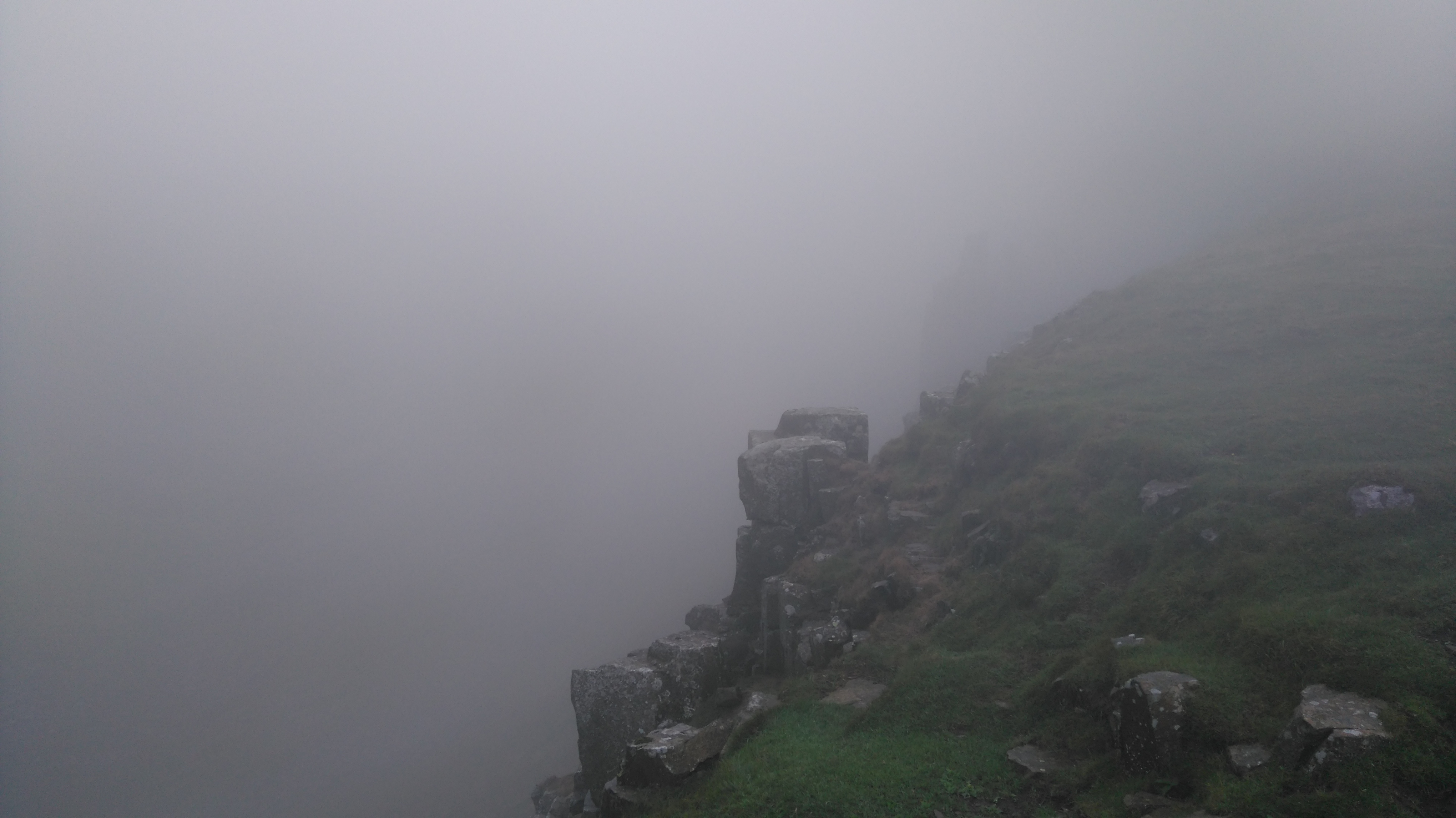
High Cup
High Cup: no grand views today.
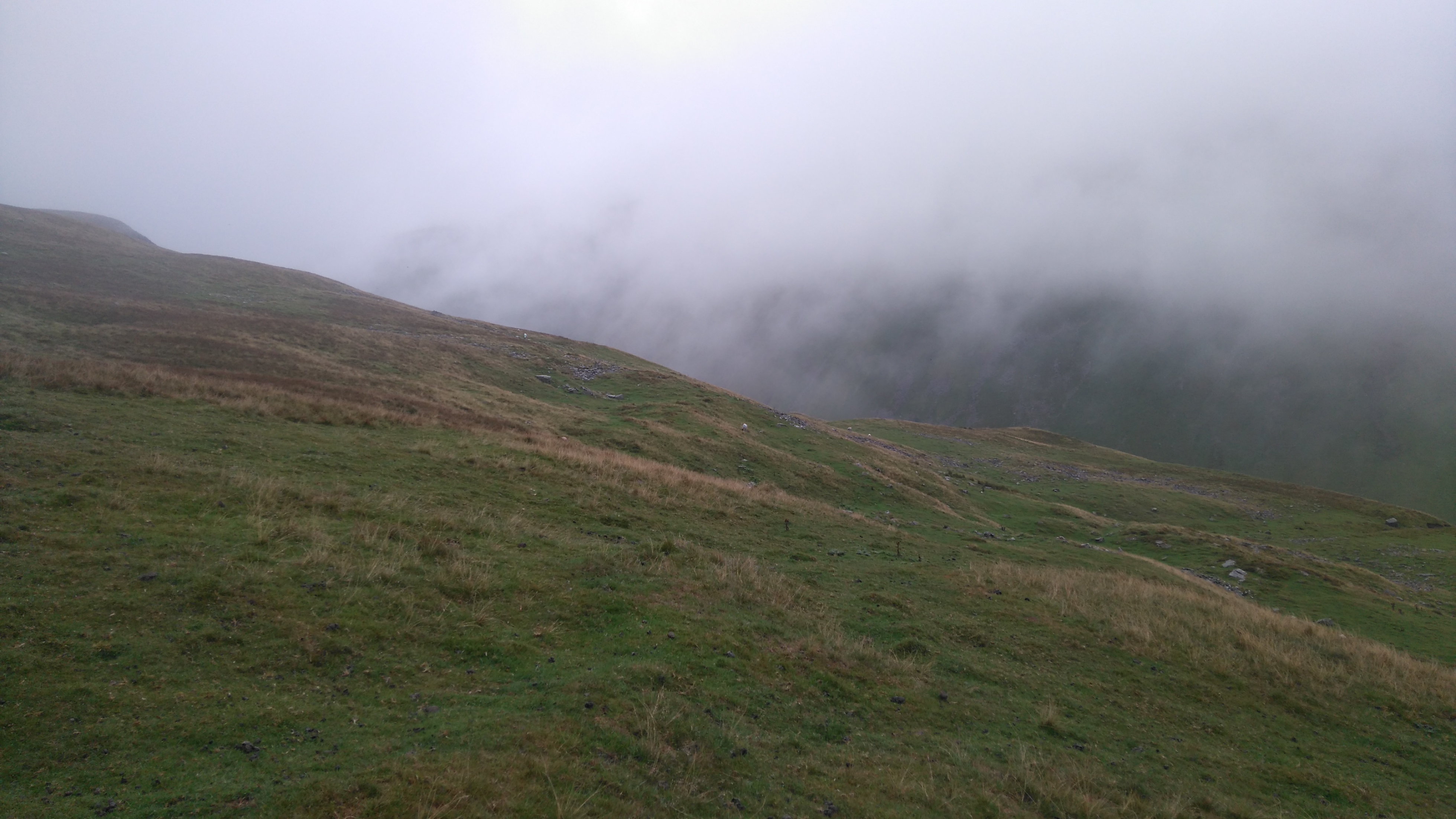
High Cup
Lower down a we got few glimpses.
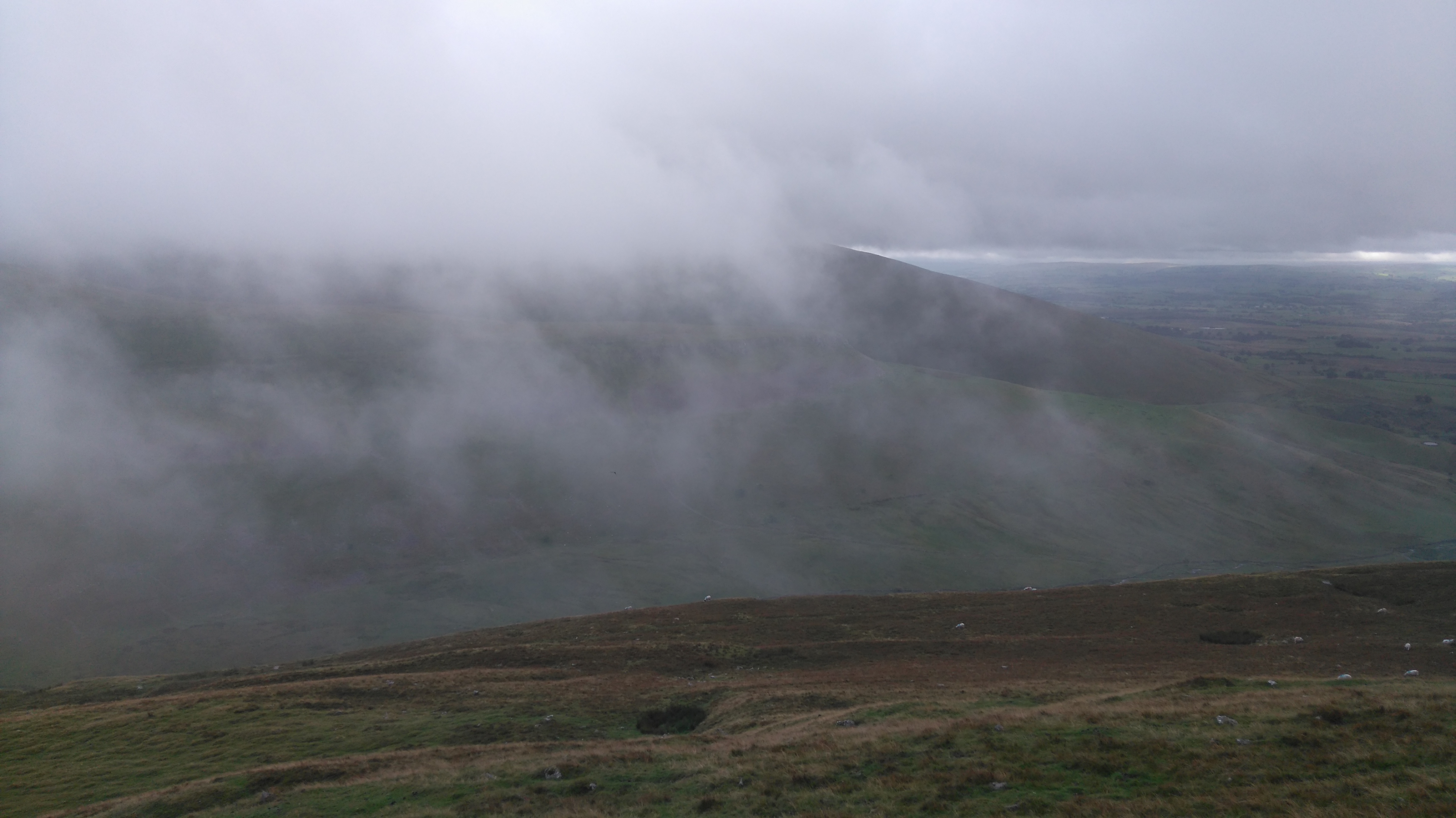
High Cup
The fog thinned, the rain stopped.
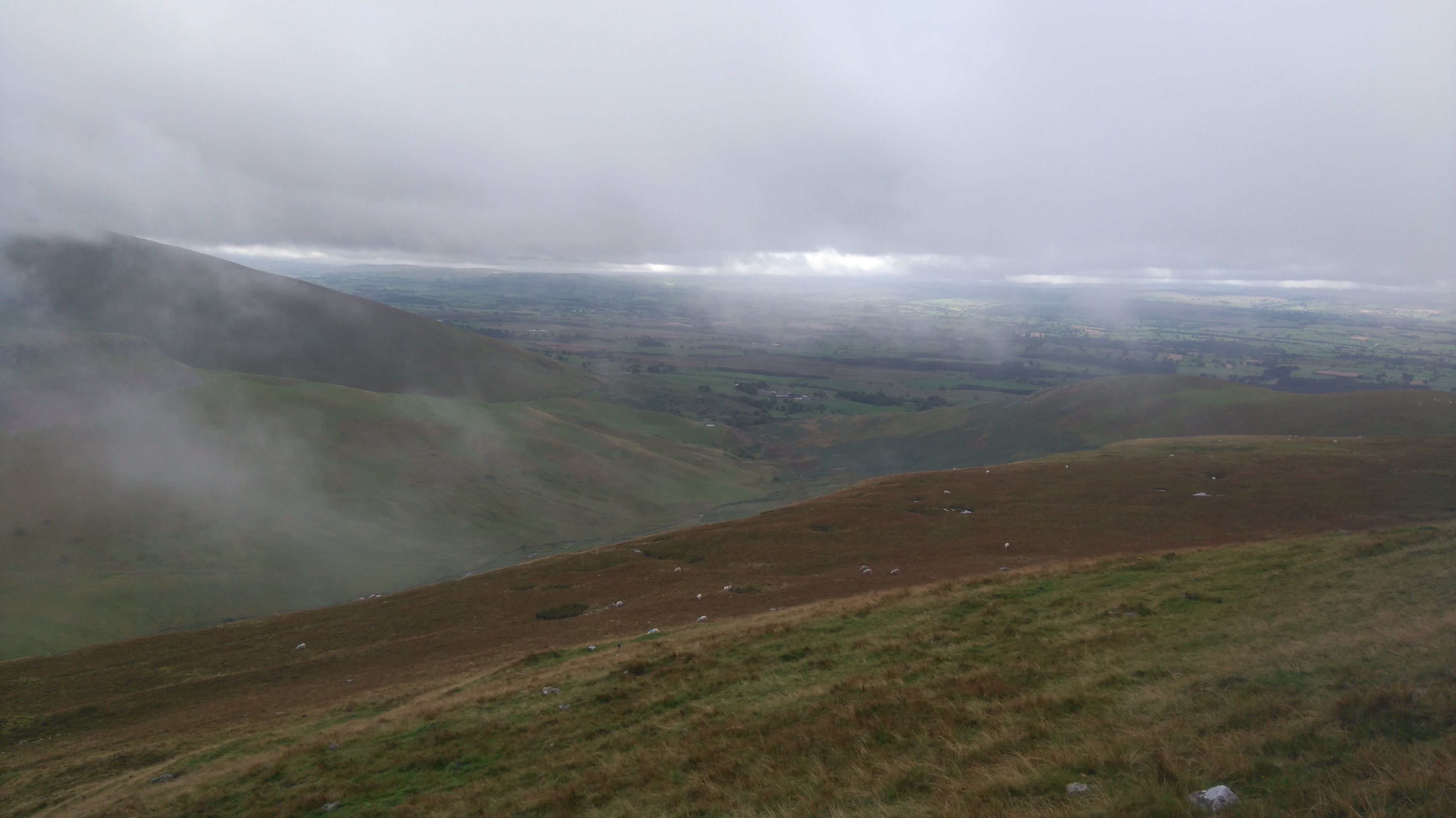
High Cup
We lingered in vain, but High Cup remained cloaked in cloud.
Down to Dufton
This photo doesn't do it any justice. The view west is wonderful, the Vale of Eden and further west the high fells of the Lake District. Somehow we still got a stunning view, just not the one we anticipated.
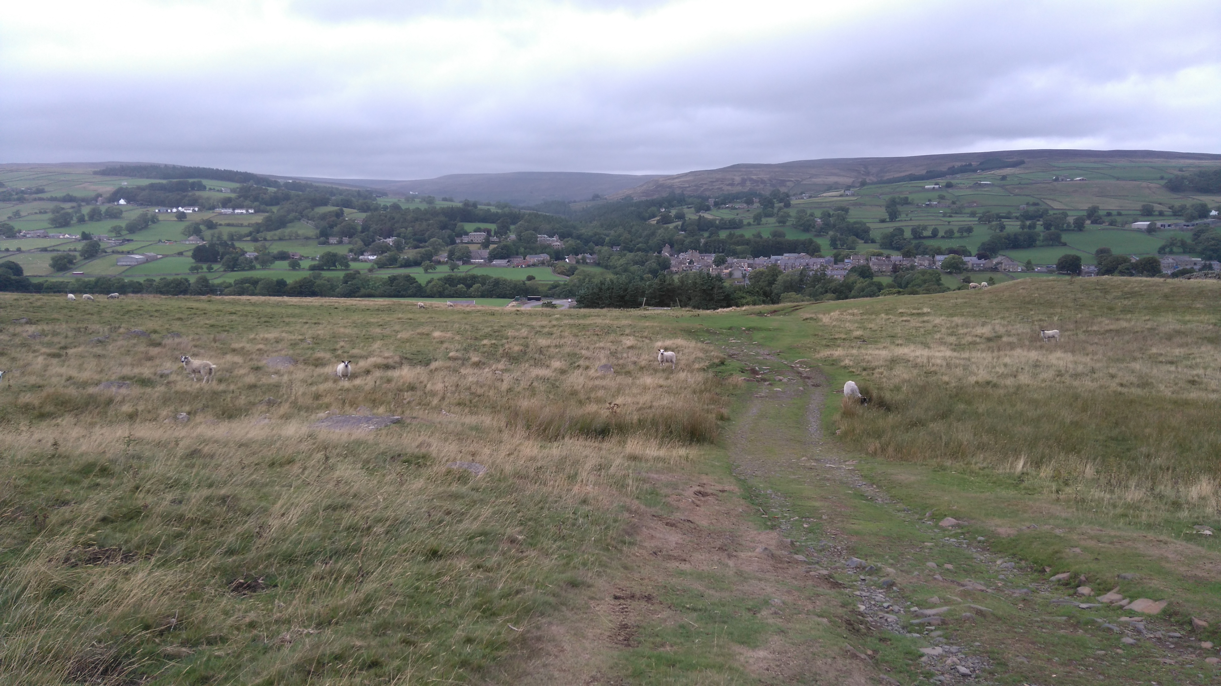
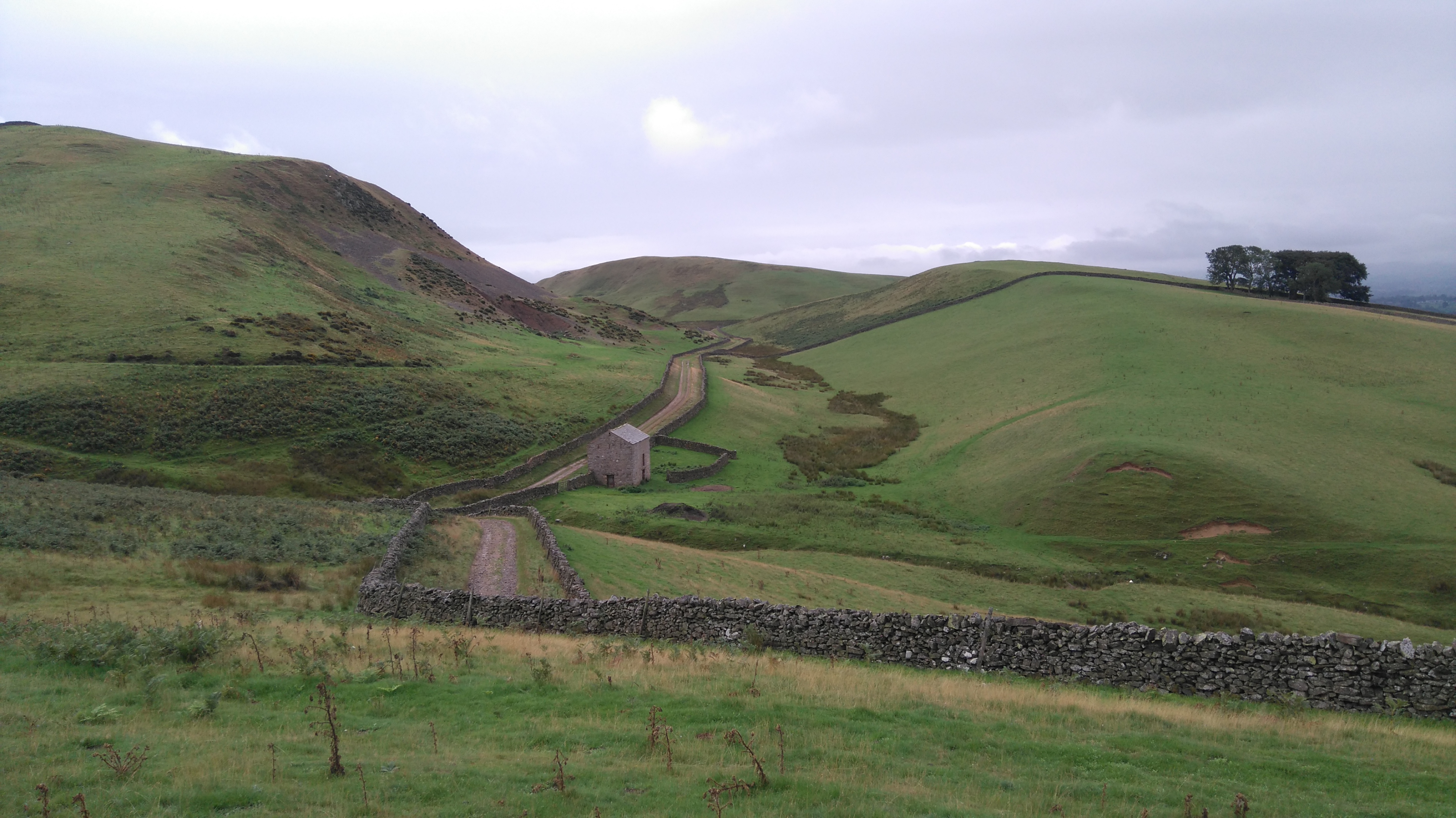
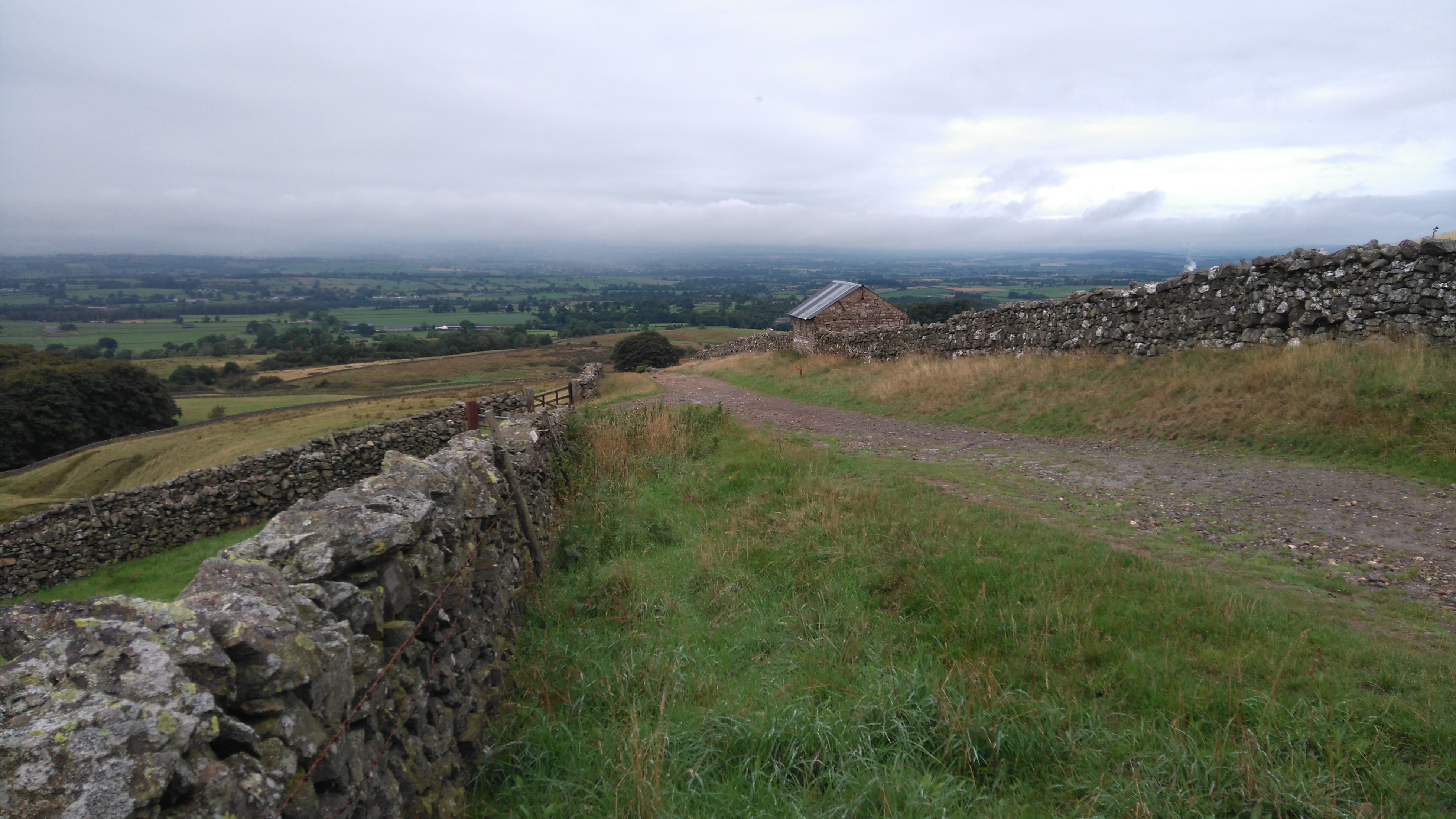
Near Dufton
The fell gave way to farmland, cows and sheep grazed contently, a farm sold snacks and drinks from a cool-box, the track became a tarmac lane.
Near Dufton
To the left, a footpath to Keisley and High Cup Gill.
Dufton.
Not far now to Dufton...
Dufton.
...where a very nice lunch was served by a very nice man in the local tea-shop/post-office.
Day eight: Dufton to Appleby in Westmorland 4 miles.
Weather: sunshine, drizzle, breezy, warm.
A day of goodbyes, a walk back up High Cup and back (6 miles), undulating country lanes, lunch in a cafe, a train to Carlisle then south to Worcestershire and home.
PW3 day eight
High Cup (pic by Carl)
High Cup (Taz, Aug 2020).
Diary day eight:
We woke to good weather, rabbits nibbling on the grass and the sound of rural village life. After saying goodbye and good luck to other way-farers, we left our gear at the campsite and walked back up the hill to High Cup. We almost got to the top but turned back as we found the upper valley still cloaked in thick cloud. It was nice to have a last walk up the fell, especially without the big rucksack, even if we didn't get a view.
Back at the campsite we packed up and started walking the 4 miles along the lanes to Appleby. Rural traffic, pickup trucks and landrovers with trailers, raced past us on the narrow road, not like the quiet fell-walking we'd enjoyed for a week. The weather turned drizzly and windy, but also very humid.
We got to Appleby in good time and decided to have lunch in a busy cafe, where the dog got lots of fuss and I got chatting with a Scot, who had a dislike of tall things such as mountains. A kind shop keeper across the road charged my phone for free. After a week of careful use the battery pack had finally run out of charge. Forgetting to bring my wall plug I could not charge it on-route.
A few hours later we caught the train first north to Carlisle, then south to my home town in Worcestershire.
Thanks for reading! 😊
Taz, August 2018
➖➖➖➖➖➖➖➖➖➖➖➖➖➖➖➖➖➖➖➖➖➖➖➖➖➖➖➖➖
Uplifting comment made by a fellow walker on FB:
"Great to see that we have a walker doing it the ideal way, a real salty camper taking the way on the chin. You have my admiration, well done on your endurance so far, keep with it and take your time."
How nice is that?
A week later, my right knee became very painful, driving was torture, walking almost impossible...a GP diagnosed 'runner's knee' syndrome.
I didn't lose any weight this time but toned up a fair bit.
My aim had been to walk 10-12 miles a day and wild-camp as much as possible.
.JPG)


.JPG)
.JPG)
.JPG)
No comments:
Post a Comment